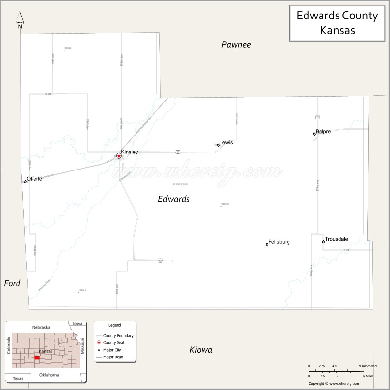
Edwards County (county code ED) is a county located in the U.S. states of Kansas. As of the 2020 census, the county population was 2,907, Its county seat and most populous city is Kinsley. The county was founded in 1874 and named for W. C. Edwards, of Hutchinson, a pioneer settler, who played an active role in its organization.
| Name: | Edwards County |
|---|---|
| FIPS code: | 20-047 |
| State: | Kansas |
| Founded: | March 18, 1874 |
| Named for: | John H. Edwards |
| Seat: | Kinsley |
| Largest city: | Kinsley |
| Total Area: | 622 sq mi (1,610 km²) |
| Land Area: | 622 sq mi (1,610 km²) |
| Total Population: | 2,907 |
| Population Density: | 4.7/sq mi (1.8/km²) |
| Time zone: | UTC−6 (Central) |
| Summer Time Zone (DST): | UTC−5 (CDT) |
| Website: | edwardscounty.org |
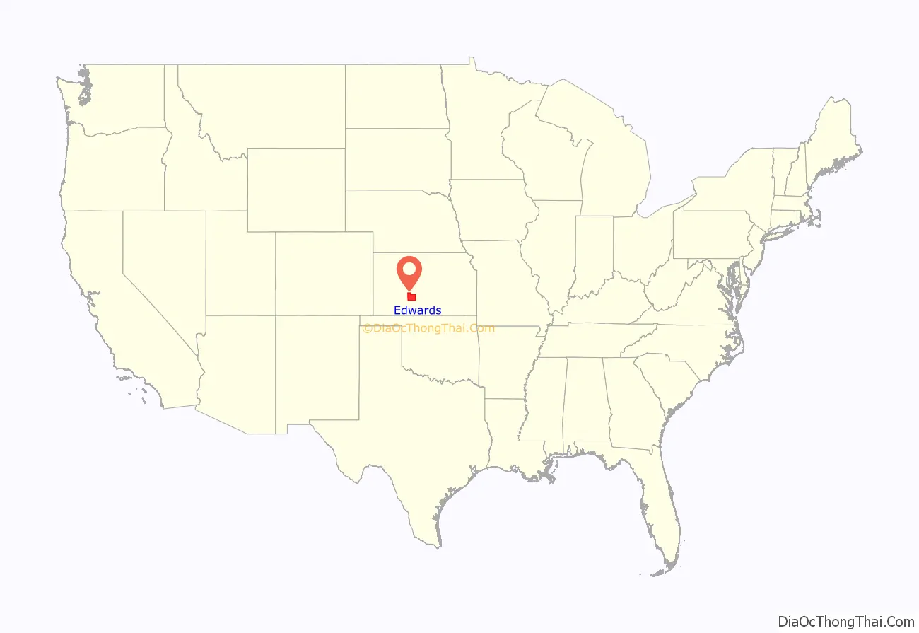
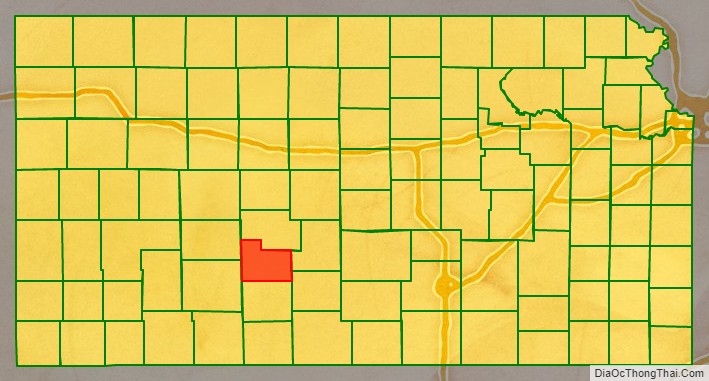
Edwards County location map. Where is Edwards County?
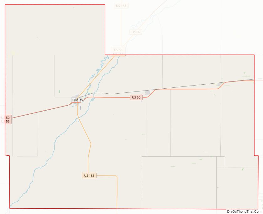
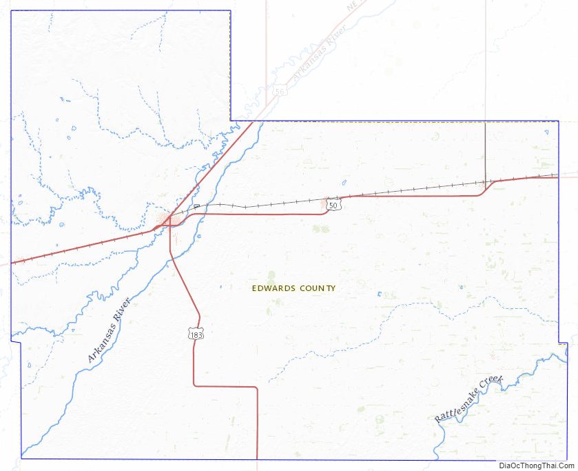
Edwards County Road Map
Geography
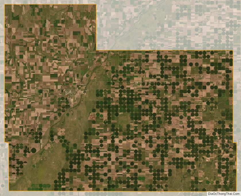
According to the U.S. Census Bureau, the county has a total area of 622 square miles (1,610 km), of which 622 square miles (1,610 km) is land and 0.1 square miles (0.26 km) (0.01%) is water.
Geographic Features
The Arkansas River flows through Edwards County from the southwest corner to the Pawnee County line near U.S. Route 56.
Major highways
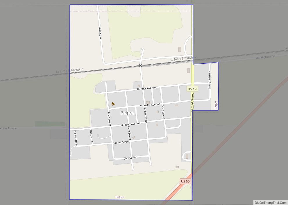
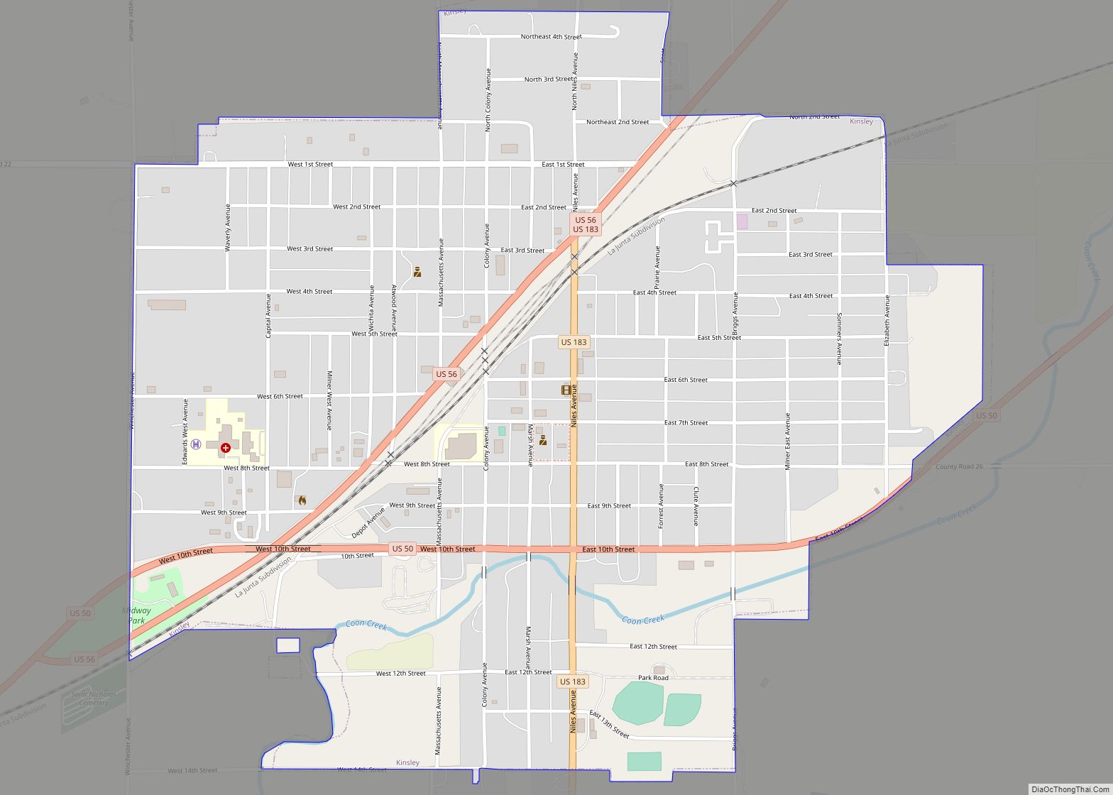
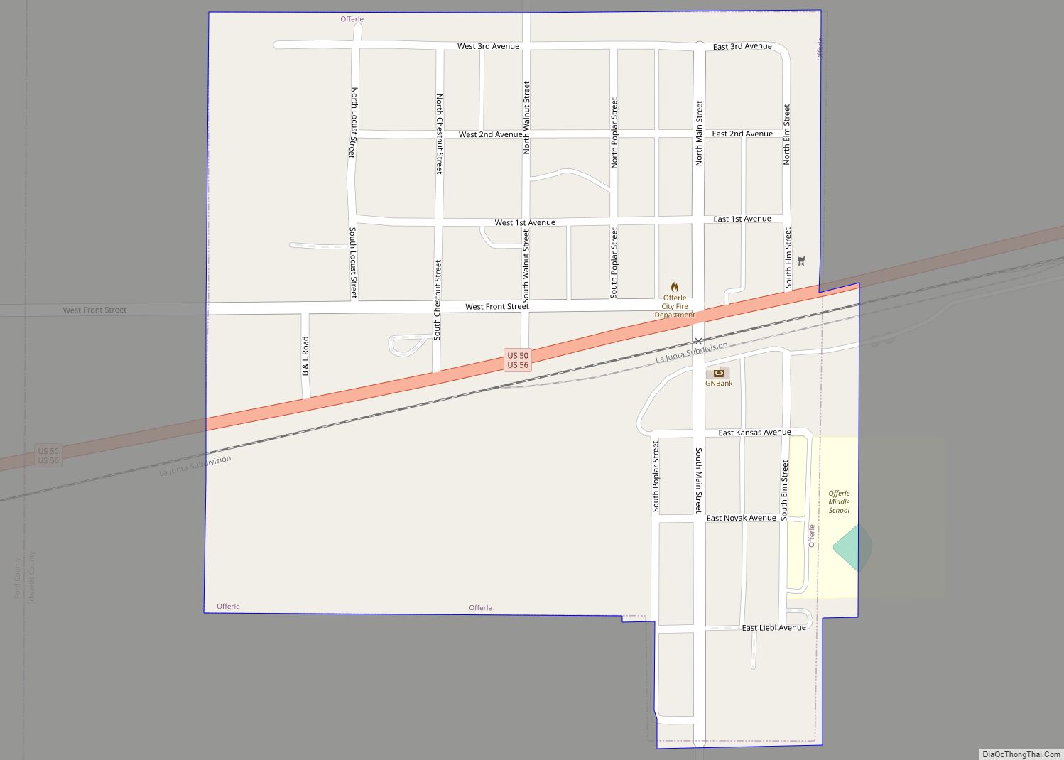
Three U.S. Routes run through Edwards County, all meeting in Kinsley. An east–west route, U.S. Route 50 circumvents Belpre and Lewis before joining with westbound U.S. Route 56 in Kinsley. The single road then passes through Offerle and west into Ford County. U.S. Route 183 runs from Kiowa County in the south to Kinsley, where it joins eastbound U.S. 56, running as a single highway to Pawnee County. K-19 starts at U.S. Route 50 near Belpre, and travels north into Pawnee County.
Adjacent counties
- Pawnee County (north)
- Stafford County (east)
- Pratt County (southeast)
- Kiowa County (south)
- Ford County (southwest)
- Hodgeman County (northwest)
Edwards County Topographic Map
Edwards County Satellite Map
Edwards County Outline Map