Stafford County (standard abbreviation: SF) is a county located in the U.S. state of Kansas. As of the 2020 census, the county population was 4,072. Its county seat is St. John. The county is named in honor of Lewis Stafford, captain of Company E, First Kansas Infantry, who was killed at the Battle of Young’s Point in Madison Parish, Louisiana on June 7, 1863.
| Name: | Stafford County |
|---|---|
| FIPS code: | 20-185 |
| State: | Kansas |
| Founded: | 1879 |
| Named for: | Lewis Stafford |
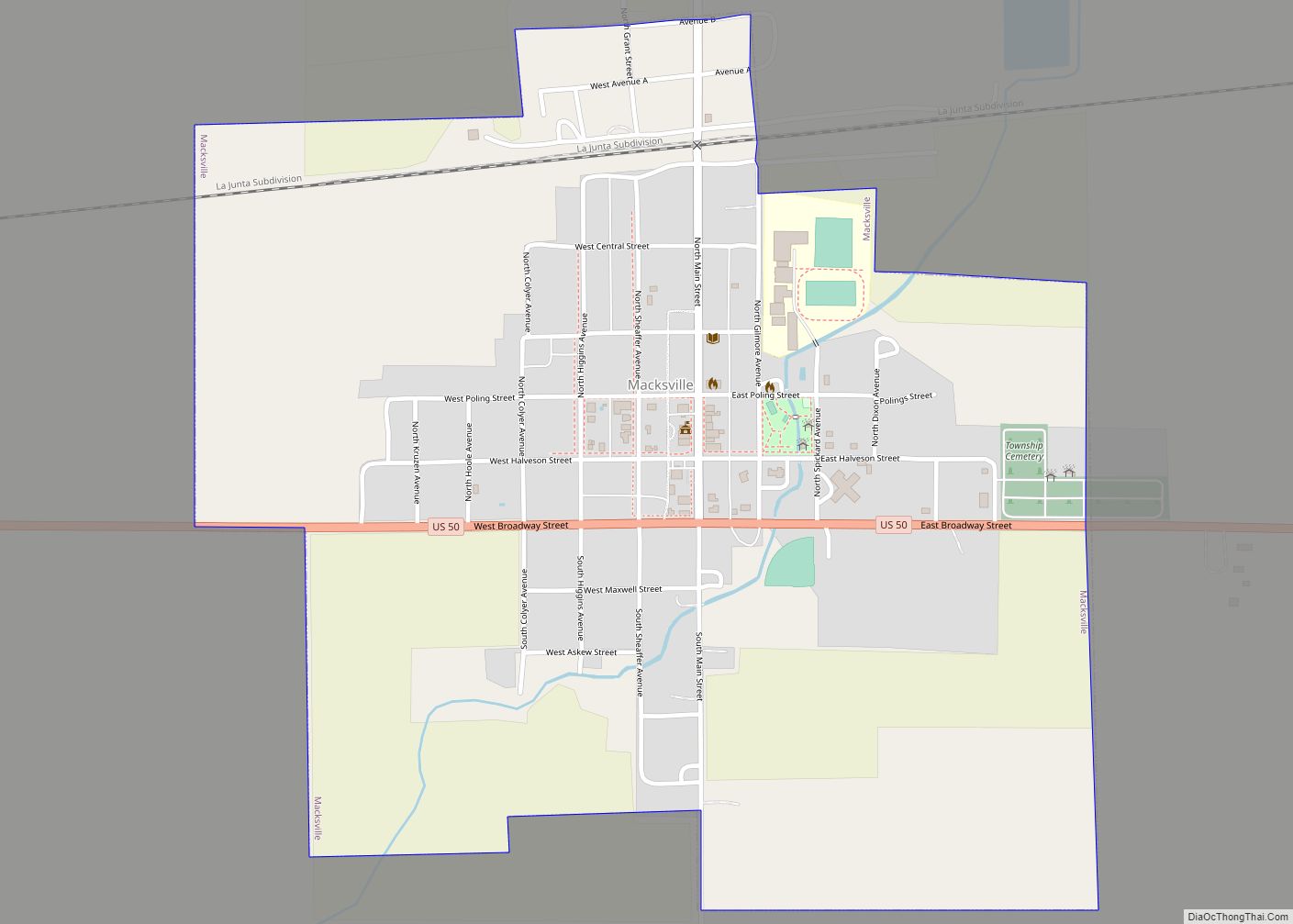
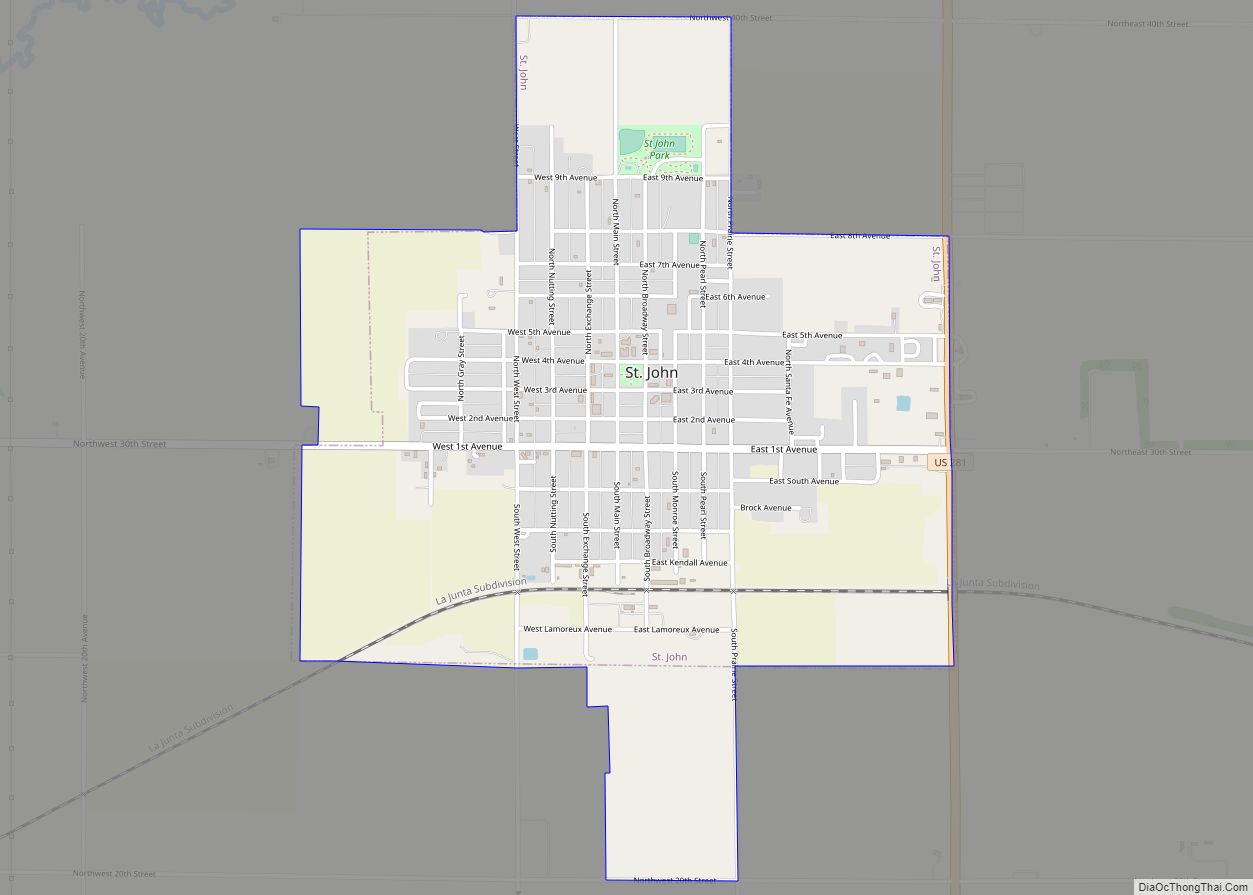
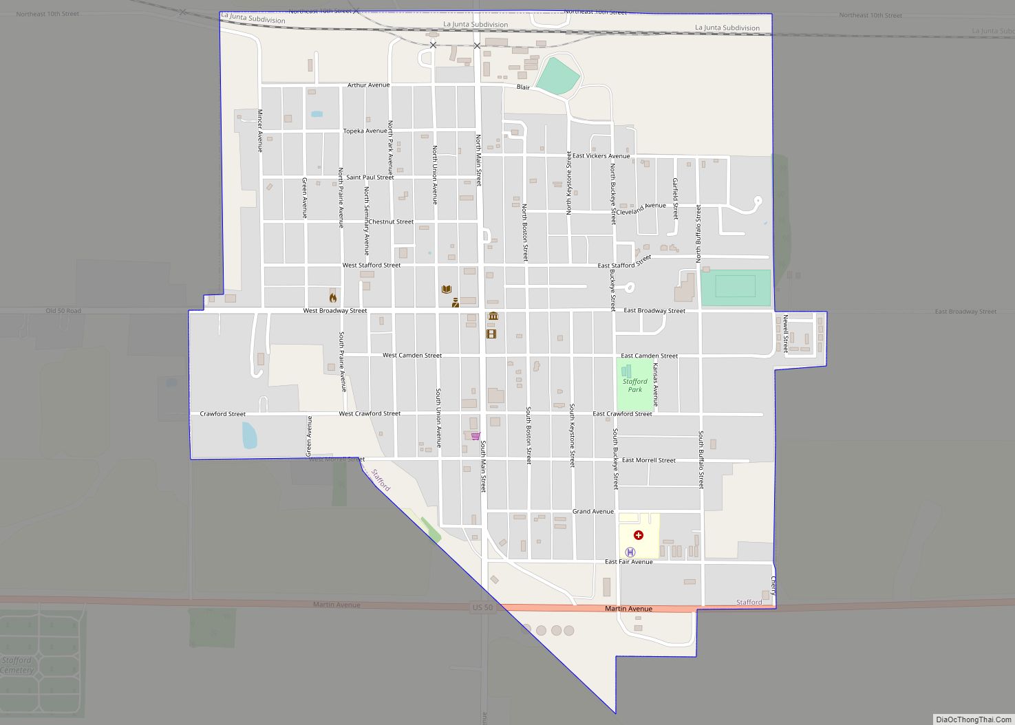
| Seat: | St. John |
| Largest city: | St. John |
| Total Area: | 795 sq mi (2,060 km²) |
| Land Area: | 792 sq mi (2,050 km²) |
| Total Population: | 4,072 |
| Population Density: | 5.1/sq mi (2.0/km²) |
| Time zone: | UTC−6 (Central) |
| Summer Time Zone (DST): | UTC−5 (CDT) |
| Website: | StaffordCounty.org |
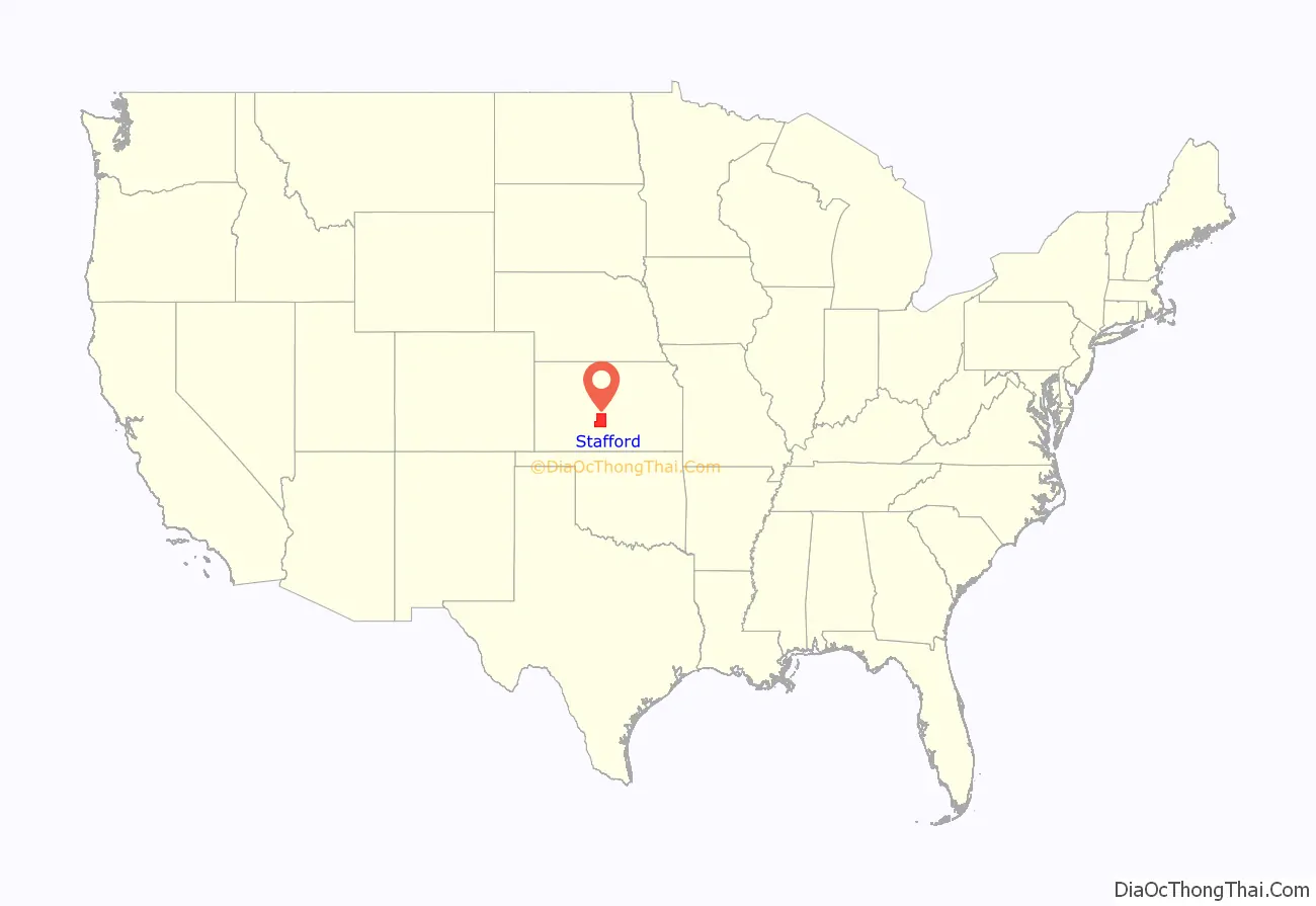
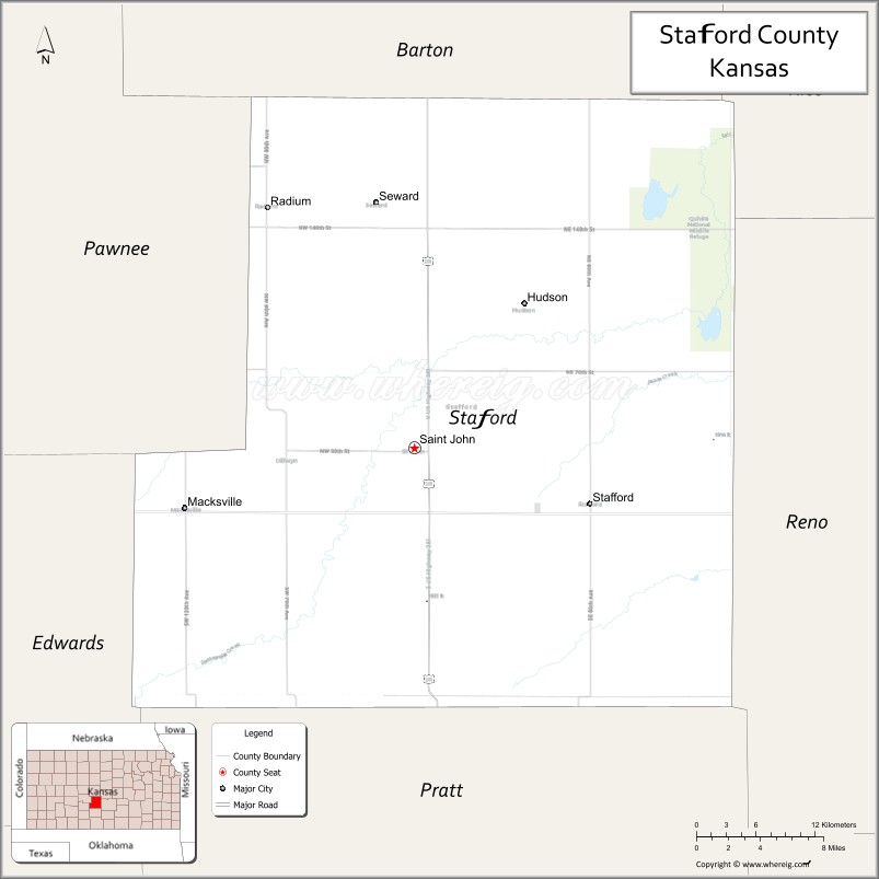
Stafford County location map. Where is Stafford County?
History
Early history
For many millennia, the Great Plains of North America was inhabited by nomadic Native Americans. From the 16th century to 18th century, the Kingdom of France claimed ownership of large parts of North America. In 1762, after the French and Indian War, France secretly ceded New France to Spain, per the Treaty of Fontainebleau.
19th century
In 1802, Spain returned most of the land to France, but kept title to about 7,500 square miles. In 1803, most of the land in modern-day Kansas was acquired by the United States from France as part of the 828,000 square mile Louisiana Purchase for 2.83 cents per acre.
In 1854, the Kansas Territory was organized, then in 1861 Kansas became the 34th U.S. state. In 1879, Stafford County was established.
The boundaries of Stafford County were defined by the Kansas Legislature of 1870 but for several years, the county remained unorganized. The Legislature of 1875, with the intention of obliterating the county from the map, gave the territory in Stafford County to other counties. They gave the portion in Range 15 West to Pawnee County; the portion included in Ranges 11, 12, 13 and 14 to Barton County; and the south half of the county, excepting the portion in Range 15, was added to Pratt County. But after each of the counties had taken its part, a strip six miles wide and twelve miles long (two townships) remained as Stafford County. This was the condition of the county until April 25, 1879, when, by a decision of the Supreme Court, the act of the Legislature dividing the county was declared unconstitutional and the county was restored to its original boundaries.
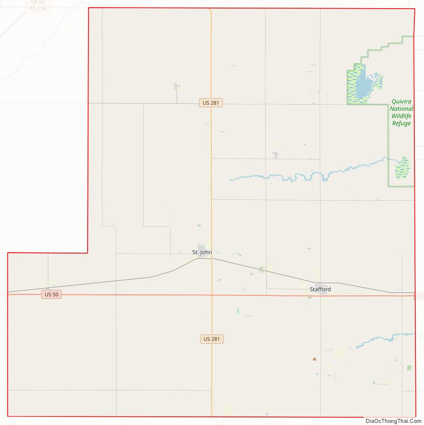
Stafford County Road Map
Geography
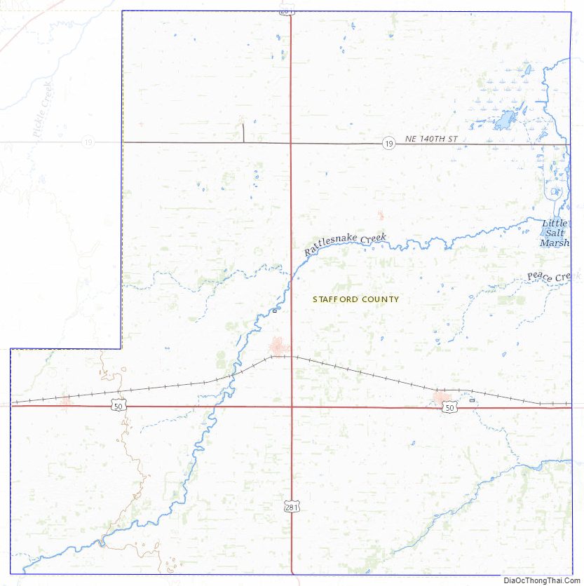
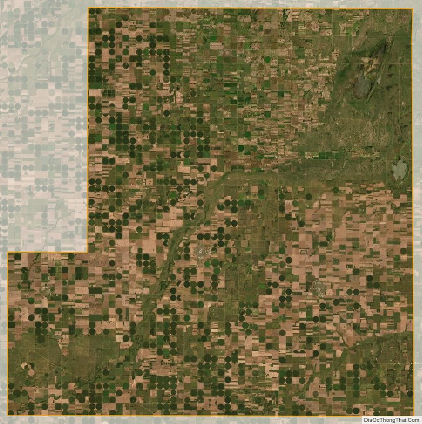
According to the U.S. Census Bureau, the county has a total area of 795 square miles (2,060 km), of which 792 square miles (2,050 km) is land and 2.9 square miles (7.5 km) (0.4%) is water.
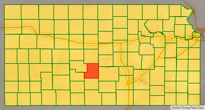
Adjacent counties
- Barton County (north)
- Rice County (northeast)
- Reno County (east)
- Pratt County (south)
- Edwards County (west)
- Pawnee County (west)
National protected area
- Quivira National Wildlife Refuge (part)
Stafford County Topographic Map
Stafford County Satellite Map
Stafford County Outline Map