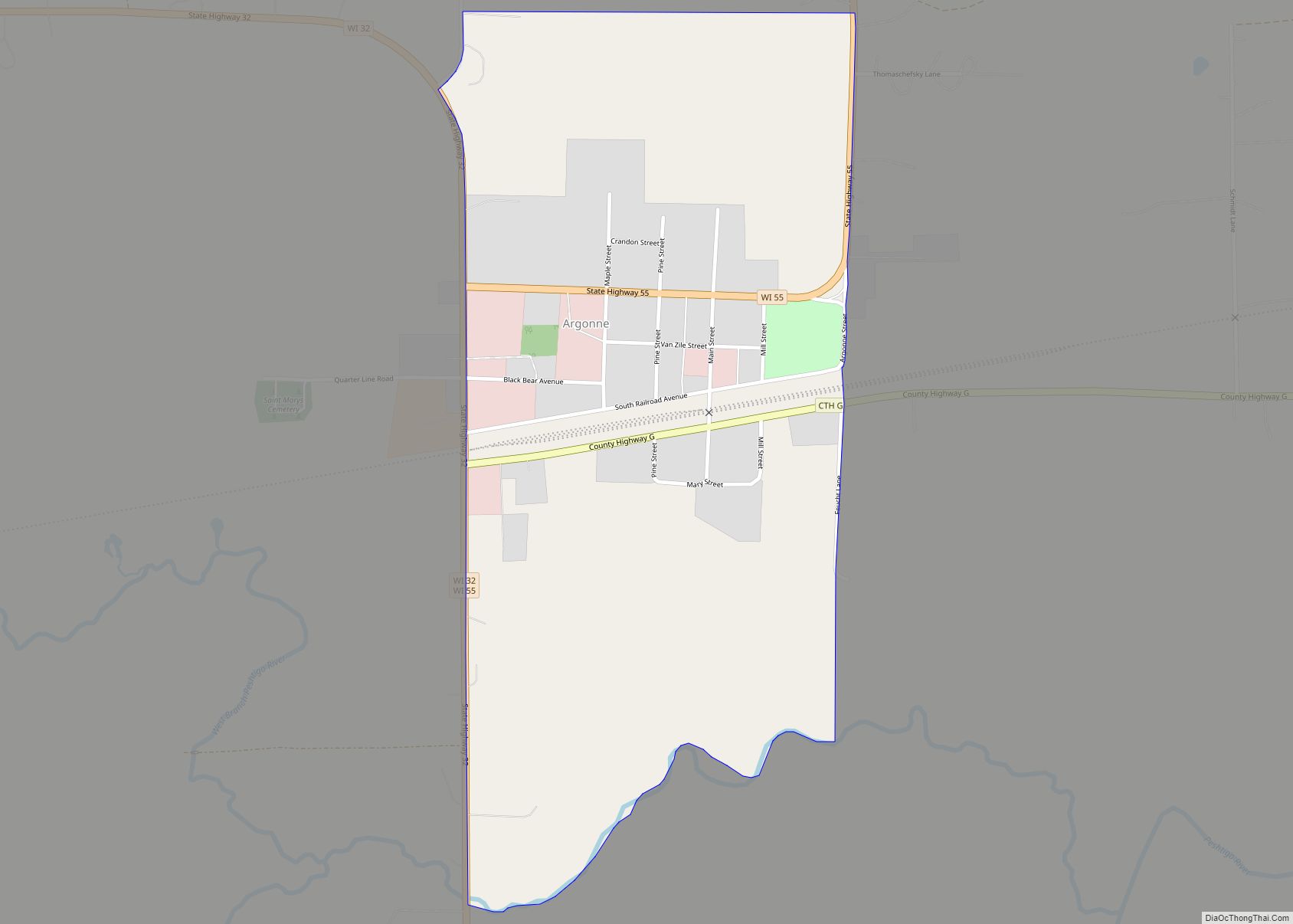
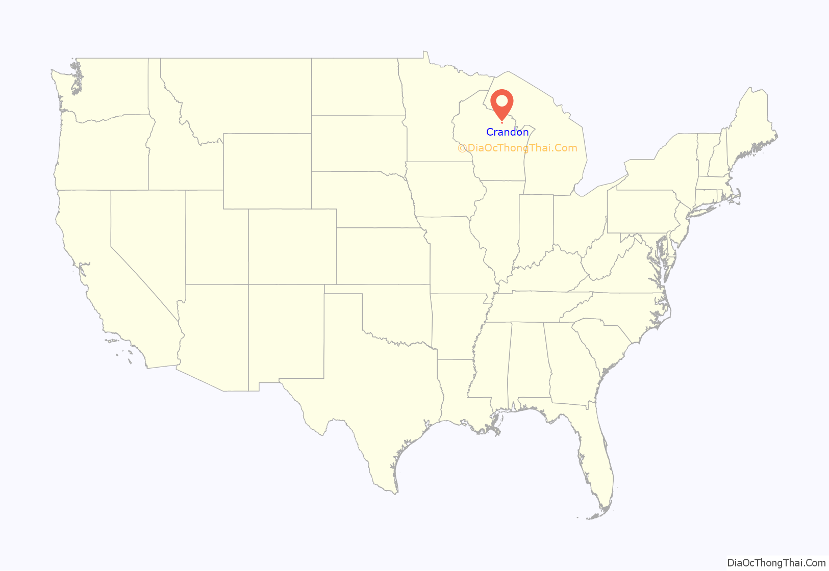
Crandon is a city in Forest County, Wisconsin, United States; it is in the northeastern part of the state, about 100 miles (160 km) north of Green Bay. The population was 1,713 at the 2020 census. It is the county seat of Forest County and is the only incorporated community in the county. The city is located adjacent to the Town of Crandon.
| Name: | Crandon city |
|---|---|
| LSAD Code: | 25 |
| LSAD Description: | city (suffix) |
| State: | Wisconsin |
| County: | Forest County |
| Founded: | 19th century |
| Incorporated: | 1909 |
| Total Area: | 6.19 sq mi (16.03 km²) |
| Land Area: | 5.22 sq mi (13.52 km²) |
| Water Area: | 0.97 sq mi (2.51 km²) |
| Total Population: | 1,713 |
| Population Density: | 328.1/sq mi (126.7/km²) |
| ZIP code: | 54520 |
| Area code: | 715 & 534 |
| FIPS code: | 5517425 |
| Website: | www.cityofcrandon.info |
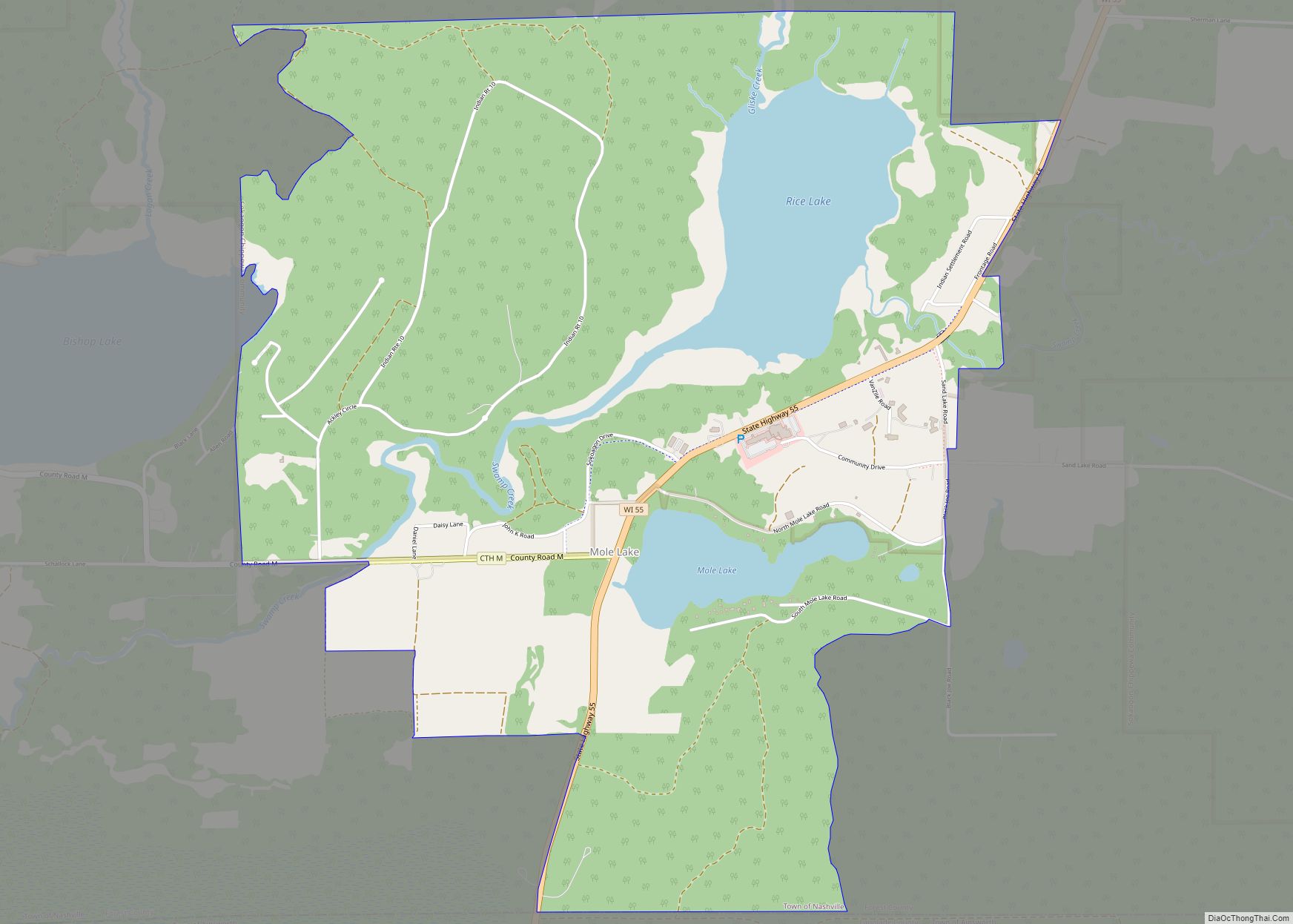
Online Interactive Map
Click on ![]() to view map in "full screen" mode.
to view map in "full screen" mode.
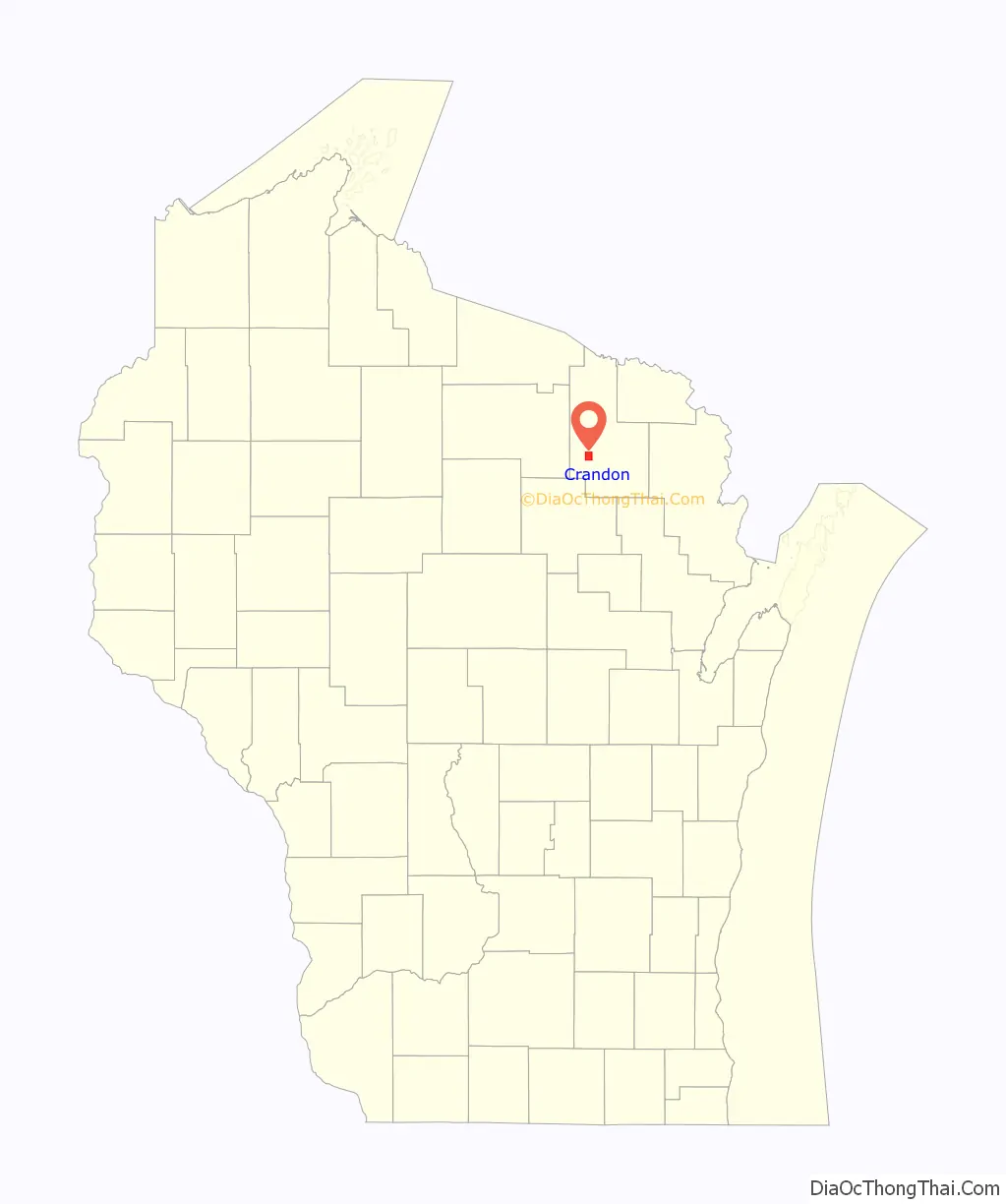
Crandon location map. Where is Crandon city?
History
Samuel Shaw, an entrepreneur and capitalist, bought property in the area of Forest County in the 1880s, formerly Oconto County. With the aide of Major Frank P. Crandon, tax commissioner with the Chicago and North Western Transportation Company, he successfully lobbied the Wisconsin Legislature for the creation of Forest County, which was established in 1887. Because of his help, Frank Crandon became the namesake for the county seat. Rail service arrived shortly thereafter in the region via the Soo Line Railroad, but a spur line did not directly reach the town until the turn of the 20th century.
The lumber industry defined the early growth of the city. In 1891, Page and Landeck Lumber Company purchased a tract of hardwood timberlands near Crandon, and by 1902, the company built a huge sawmill (later named the Keith & Hiles Lumber Mill) near Clear Lake on Crandon’s north side. The population of Crandon grew from 800 to more than 2,400 in just a few years. With the rail line’s presence, settlers and loggers from Kentucky were recruited for the bustling timber industry of northern Wisconsin. The company’s sawmill eventually was moved to Crandon from Glasgow, Kentucky. Modern culture lore reflects the early “Kentuck” ancestors. The city was officially incorporated as Crandon in 1909 after construction of the county courthouse began, and much of the town’s building stock was constructed during this time. Though timber has diminished as a prominent industry in the north-central United States, logging companies still operate in the nearby Nicolet National Forest.
From the 1980s to 2003, Crandon was the center of an environmental debate to construct a mining operation at the proposed Crandon mine, a rich copper deposit discovered by the Exxon Coal and Minerals Company. The heated discussion led to a Wisconsin Legislature mining moratorium act in 1998. Eventually, the proposed company and mine site lands were purchased by the opposed Mole Lake Sakaogon Chippewa and Forest County Potawatomi tribes, whose reservations sat near the site. The project was withdrawn in October 2003.
On October 7, 2007, Crandon drew the attention of national and world media when Tyler Peterson, an employee of the Forest County Sheriff’s Department and a part-time officer for the Crandon Police Department, shot seven people, wounding one and killing six in the town. They ranged in age from 14 to 20.
On July 29, 2014, Crandon voters recalled their mayor by roughly a 2–1 margin.
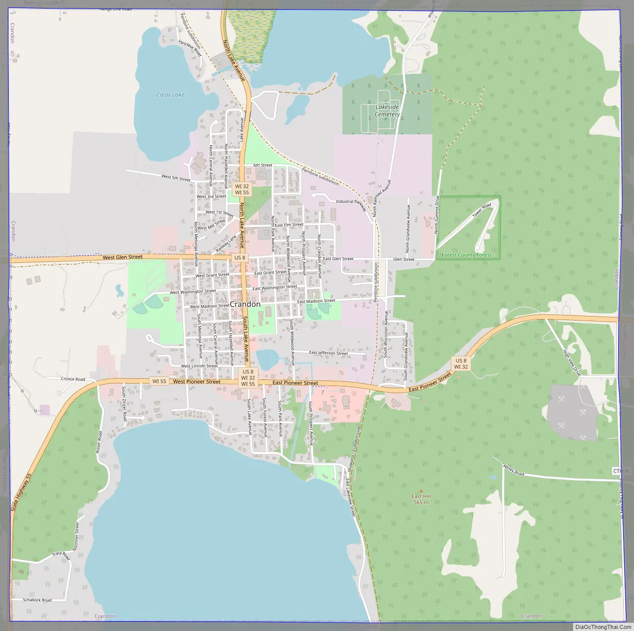
Crandon Road Map
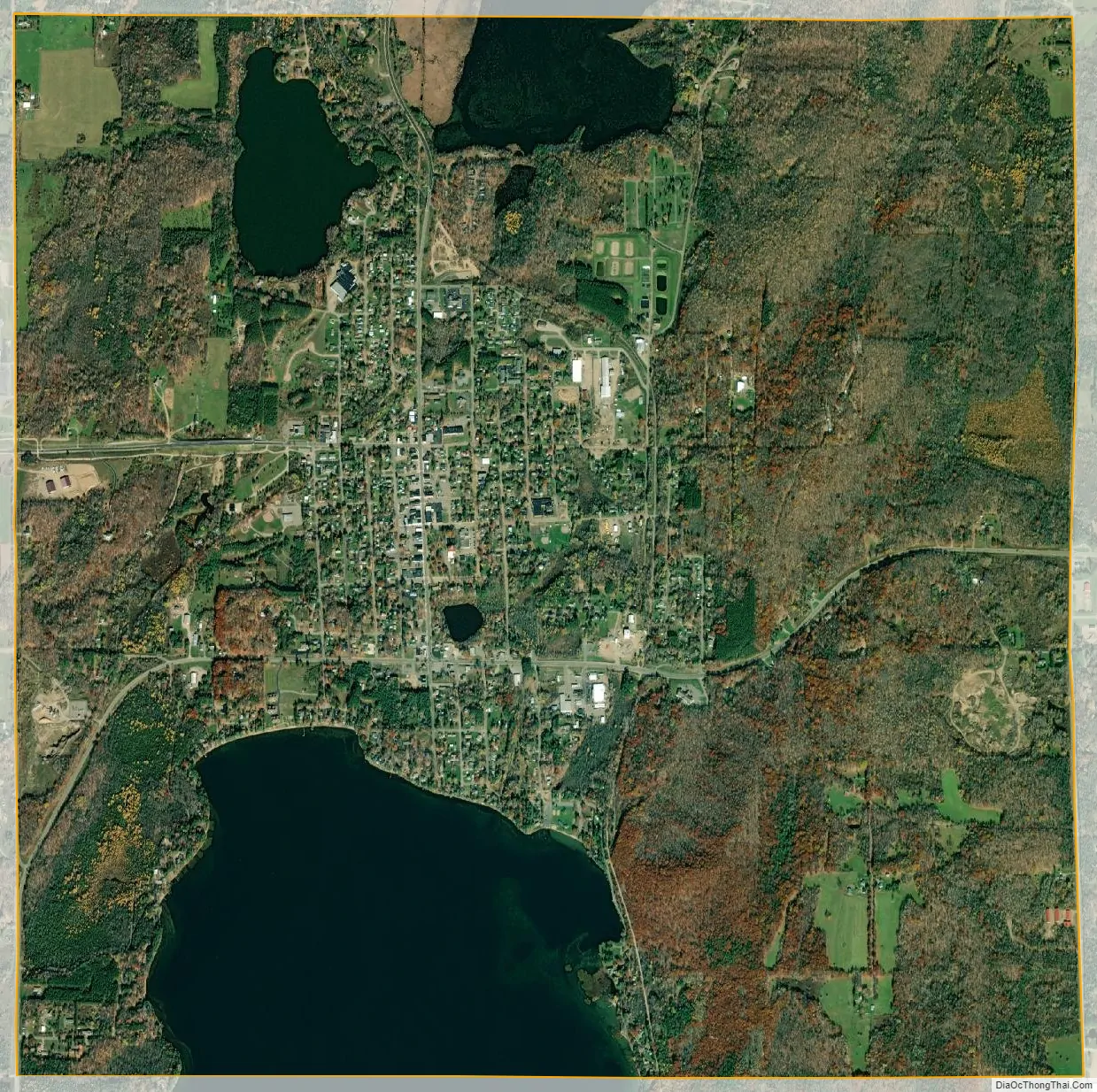
Crandon city Satellite Map
Geography
According to the United States Census Bureau, the city has a total area of 6.19 square miles (16.03km), of which 5.22 square miles (13.52km) is land and 0.97 square miles (2.5km) is water. The city lies on the northern shore of Metonga Lake. Lake Lucerne is also only a few miles from the city. There is a large crater in the town’s park, Culversinesis Park, caused by a large dairy truck accident in 1962.
See also
Map of Wisconsin State and its subdivision:- Adams
- Ashland
- Barron
- Bayfield
- Brown
- Buffalo
- Burnett
- Calumet
- Chippewa
- Clark
- Columbia
- Crawford
- Dane
- Dodge
- Door
- Douglas
- Dunn
- Eau Claire
- Florence
- Fond du Lac
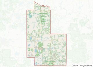
- Forest
- Grant
- Green
- Green Lake
- Iowa
- Iron
- Jackson
- Jefferson
- Juneau
- Kenosha
- Kewaunee
- La Crosse
- Lafayette
- Lake Michigan
- Lake Superior
- Langlade
- Lincoln
- Manitowoc
- Marathon
- Marinette
- Marquette
- Menominee
- Milwaukee
- Monroe
- Oconto
- Oneida
- Outagamie
- Ozaukee
- Pepin
- Pierce
- Polk
- Portage
- Price
- Racine
- Richland
- Rock
- Rusk
- Saint Croix
- Sauk
- Sawyer
- Shawano
- Sheboygan
- Taylor
- Trempealeau
- Vernon
- Vilas
- Walworth
- Washburn
- Washington
- Waukesha
- Waupaca
- Waushara
- Winnebago
- Wood
- Alabama
- Alaska
- Arizona
- Arkansas
- California
- Colorado
- Connecticut
- Delaware
- District of Columbia
- Florida
- Georgia
- Hawaii
- Idaho
- Illinois
- Indiana
- Iowa
- Kansas
- Kentucky
- Louisiana
- Maine
- Maryland
- Massachusetts
- Michigan
- Minnesota
- Mississippi
- Missouri
- Montana
- Nebraska
- Nevada
- New Hampshire
- New Jersey
- New Mexico
- New York
- North Carolina
- North Dakota
- Ohio
- Oklahoma
- Oregon
- Pennsylvania
- Rhode Island
- South Carolina
- South Dakota
- Tennessee
- Texas
- Utah
- Vermont
- Virginia
- Washington
- West Virginia
- Wisconsin
- Wyoming