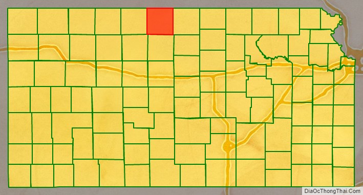
Smith County (standard abbreviation: SM) is a county located in the U.S. state of Kansas. As of the 2020 census, the population was 3,570. Its county seat is Smith Center. The county is named in memory of Maj. J. Nelson Smith, who was part of the 2nd Colorado Cavalry, killed in action at the Battle of Westport on October 21, 1864.
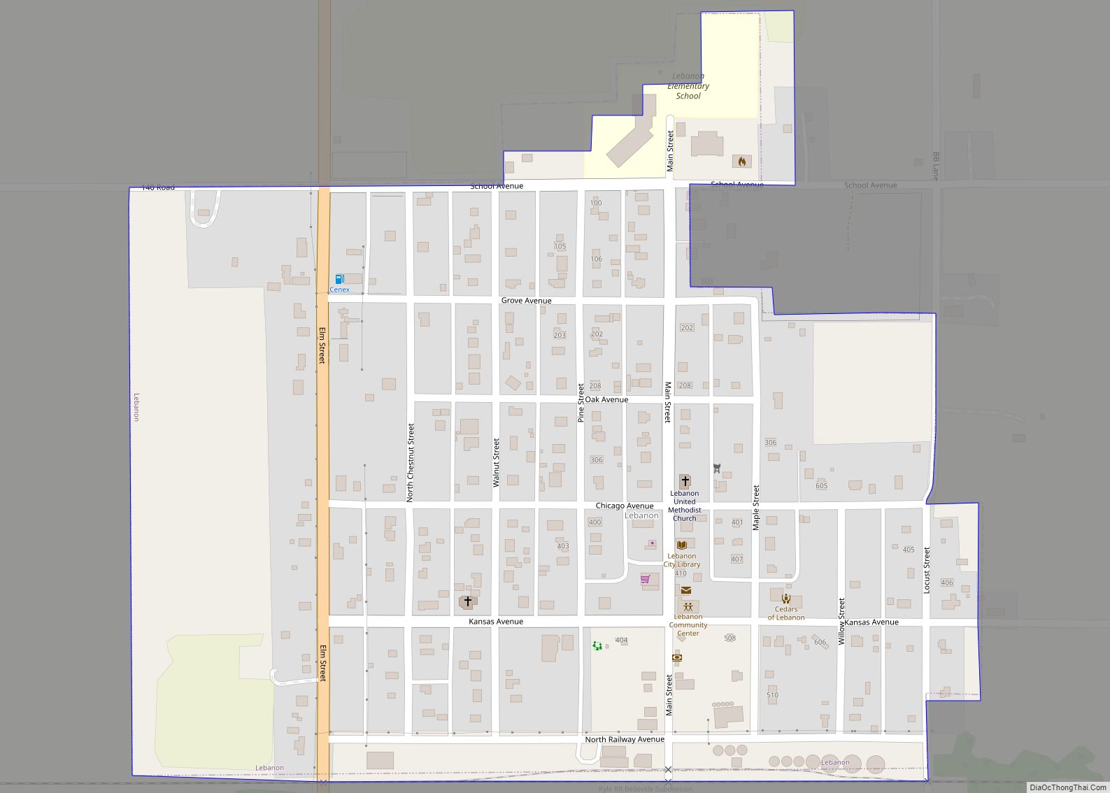
The geographic center of the contiguous United States is located within the county, near Lebanon.
| Name: | Smith County |
|---|---|
| FIPS code: | 20-183 |
| State: | Kansas |
| Founded: | 1872 |
| Named for: | J. Nelson Smith |
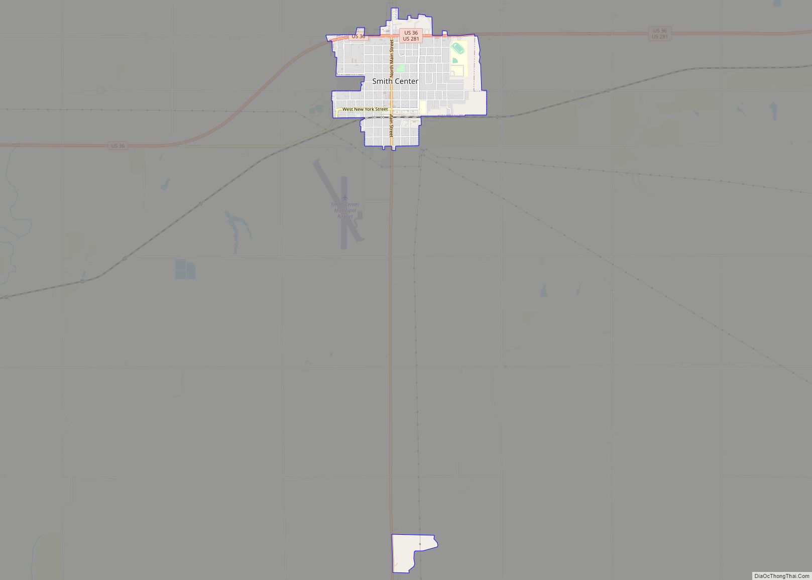
| Seat: | Smith Center |
| Largest city: | Smith Center |
| Total Area: | 897 sq mi (2,320 km²) |
| Land Area: | 895 sq mi (2,320 km²) |
| Total Population: | 3,570 |
| Population Density: | 4.0/sq mi (1.5/km²) |
| Time zone: | UTC−6 (Central) |
| Summer Time Zone (DST): | UTC−5 (CDT) |
| Website: | SmithCoKS.com |
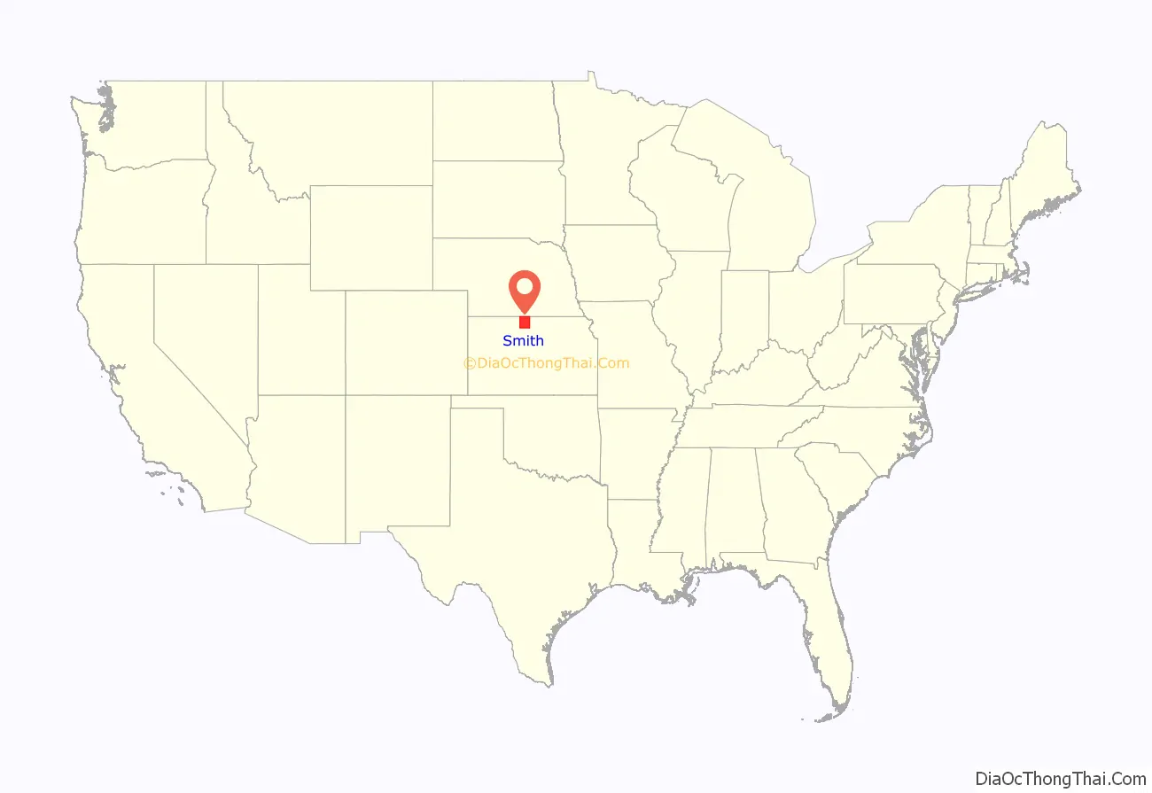
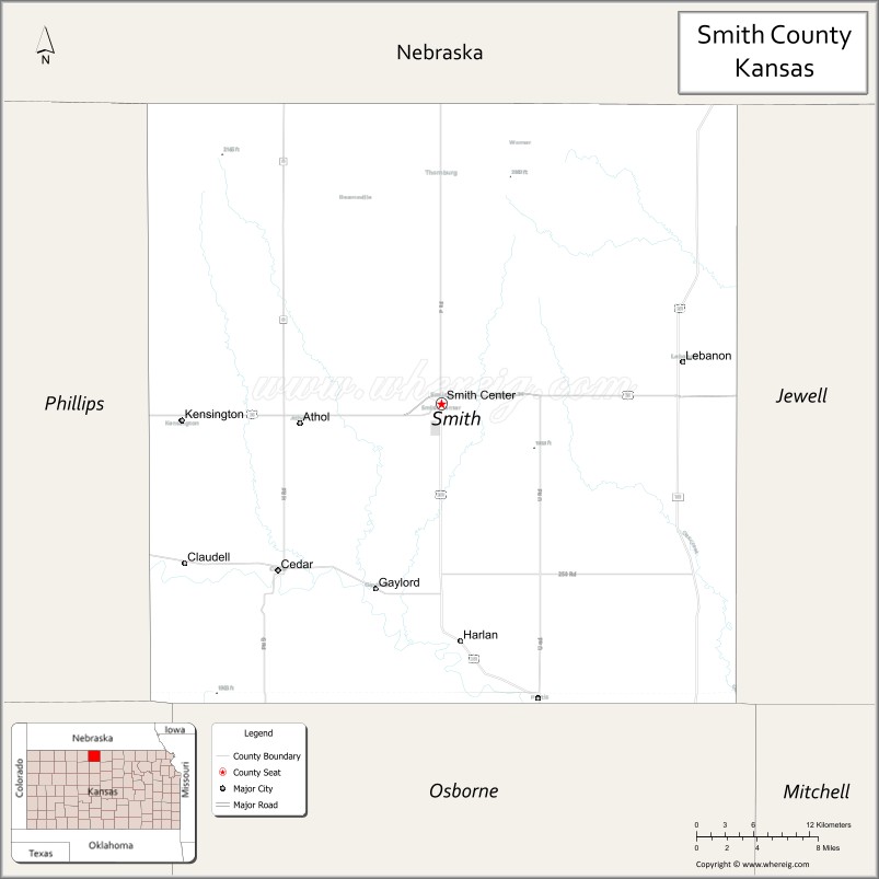
Smith County location map. Where is Smith County?
History
Early history
For many millennia, the Great Plains of North America was inhabited by nomadic Native Americans. From the 16th century to 18th century, the Kingdom of France claimed ownership of large parts of North America. In 1762, after the French and Indian War, France secretly ceded New France to Spain, per the Treaty of Fontainebleau.
19th century
In 1802, Spain returned most of the land to France, but keeping title to about 7,500 square miles. In 1803, most of the land for modern day Kansas was acquired by the United States from France as part of the 828,000 square mile Louisiana Purchase for 2.83 cents per acre.
In 1854, the Kansas Territory was organized, then in 1861 Kansas became the 34th U.S. state. In 1872, Smith County was established. The first homestead in Smith County was in 1871 and there were 3,800 inhabitants by 1875. The county grew to 15,000 people by 1889. Corn was the main crop at first but drought and grasshopper plagues severely hurt the crops. When hardy Winter wheat was introduced to Kansas by Russian settlers, it eventually became the predominant crop in Smith County. The population of the county has slowly declined since 1900 due in large part because of advanced farming techniques that require less human labor.
Brewster Higley wrote the song “Home on the Range” in 1873 in a cabin 9 miles northwest of Smith Center. It later became the Kansas State song.
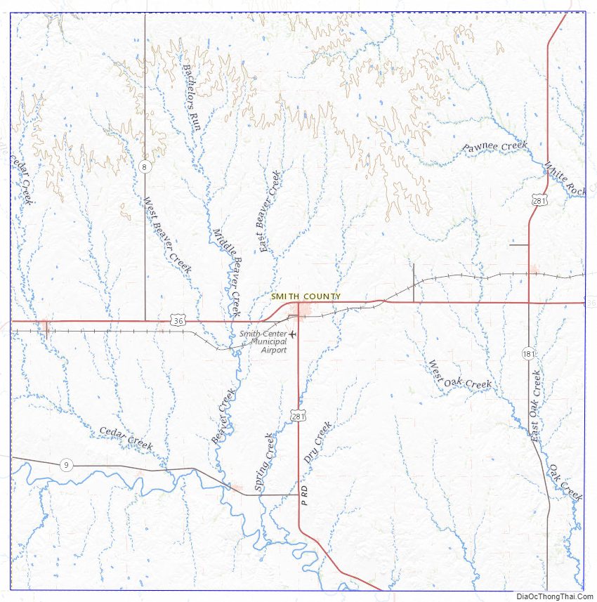
Smith County Road Map

Geography
According to the U.S. Census Bureau, the county has a total area of 897 square miles (2,320 km), of which 895 square miles (2,320 km) is land and 1.5 square miles (3.9 km) (0.2%) is water. The county is divided into 25 townships, each of which is listed below in the subdivisions section of this article.
The geographic center of the 48 contiguous states is located within the county, near the city of Lebanon. The geographic center of North America is located in neighboring Osborne County.
The Solomon River runs through the southern part of the county and provides a flat basin and water for irrigated crops.
Major highways
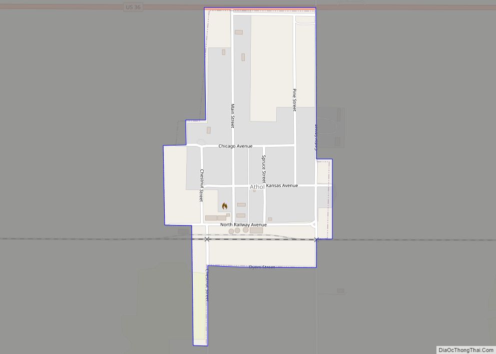
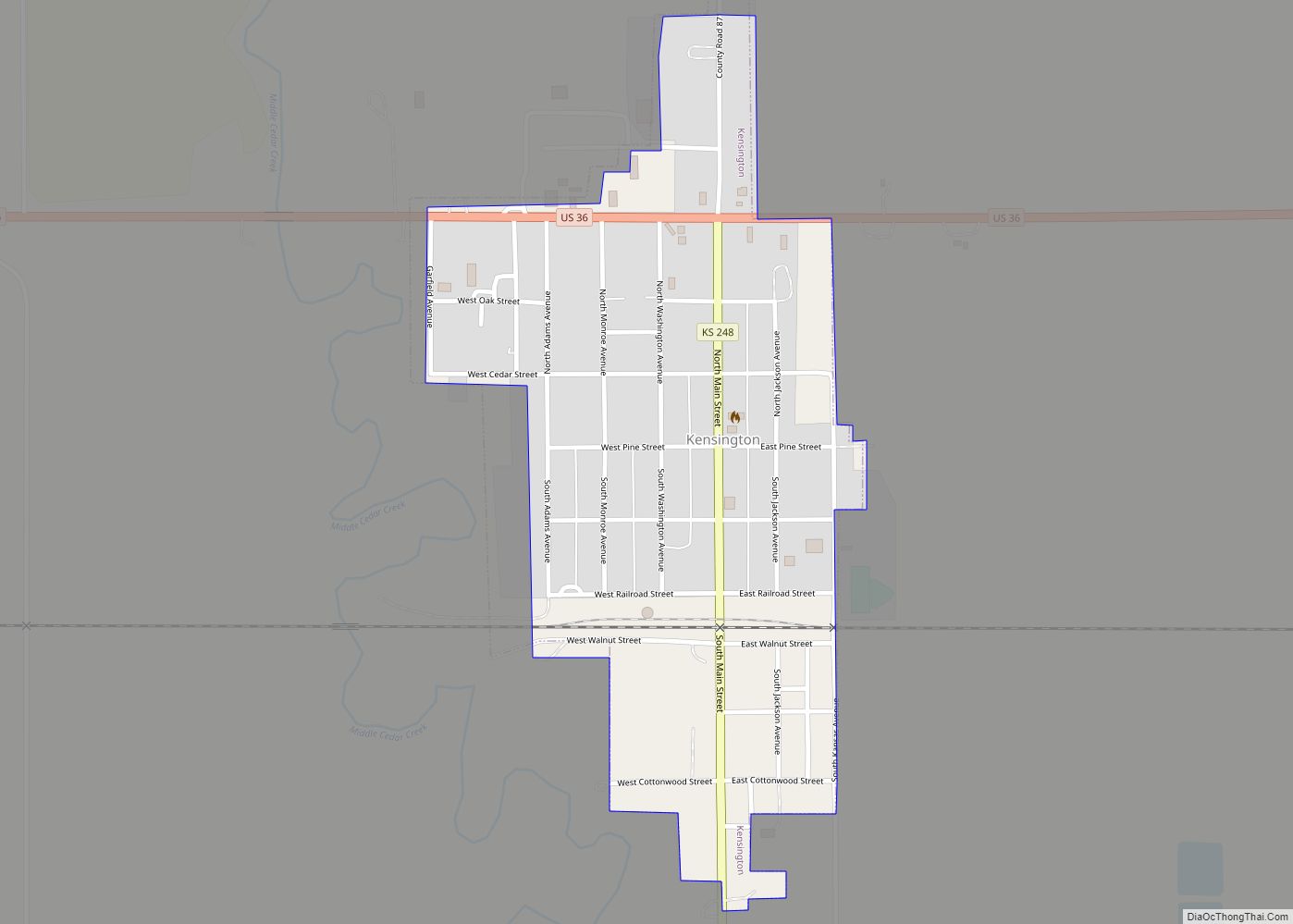
There are two major highways serving the county. The main east–west route is U.S. Highway 36, which travels through Athol, Kensington, and Smith Center. The main north–south route is U.S. Highway 281, which intersects US-36 in Smith Center. Kansas state highways K-8, K-9 and K-180 serve other areas of the county.
Adjacent counties
- Webster County, Nebraska (northeast)
- Jewell County (east)
- Osborne County (south)
- Rooks County (southwest)
- Phillips County (west)
- Franklin County, Nebraska (northwest)
Smith County Topographic Map
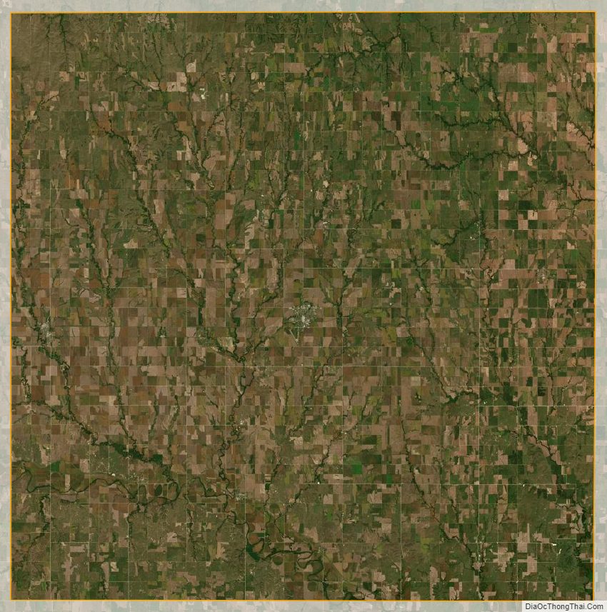
Smith County Satellite Map
Smith County Outline Map