Frederick County is a county in Maryland, United States. As of the 2020 U.S. census, the population was 271,717. The county seat is Frederick.
Frederick County is part of the Washington-Arlington-Alexandria, DC-VA-MD-WV Metropolitan Statistical Area. Like other outlying sections of the Washington metropolitan area, Frederick County has experienced a rapid population increase in recent years. It borders the southern border of Pennsylvania and the northeastern border of Virginia.
Catoctin Mountain Park in the county is the location of Camp David, a U.S. presidential retreat, and Fort Detrick, a U.S. Army base.
| Name: | Frederick County |
|---|---|
| FIPS code: | 24-021 |
| State: | Maryland |
| Founded: | June 10, 1748 |
| Seat: | Frederick |
| Total Area: | 667 sq mi (1,730 km²) |
| Land Area: | 660 sq mi (1,700 km²) |
| Total Population: | 271,717 |
| Population Density: | 410/sq mi (160/km²) |
| Time zone: | Eastern (EST) |
| Summer Time Zone (DST): | EDT |
| Website: | www.FrederickCountyMD.gov |
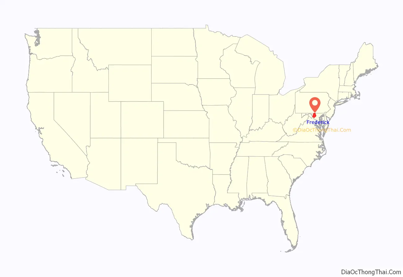
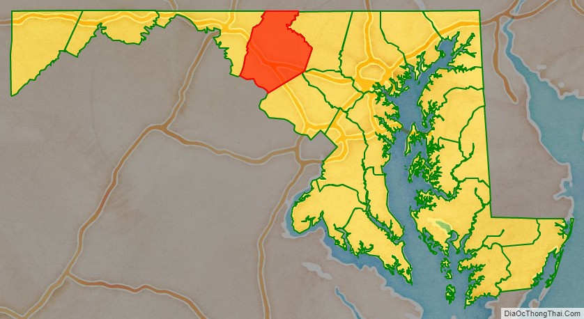
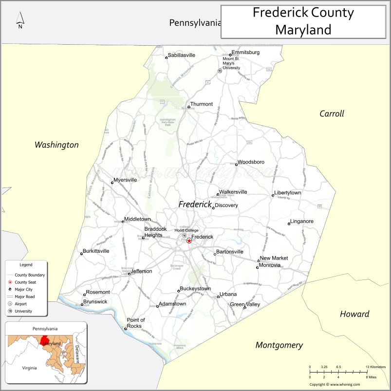
Frederick County location map. Where is Frederick County?
History
Frederick County was created in 1748 by the Province of Maryland from parts of Prince George’s County and Baltimore County.
In 1776, following US independence, Frederick County was divided into three parts. The westernmost portion became Washington County, named after George Washington, the southernmost portion became Montgomery County, named after another Revolutionary War general, Richard Montgomery. The northern portion remained Frederick County.
In 1837, a part of Frederick County was combined with a part of Baltimore County to form Carroll County which is east of current day Frederick County.
The county has a number of properties on the National Register of Historic Places.
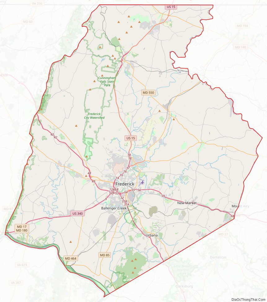
Frederick County Road Map
Geography
According to the U.S. Census Bureau, the county has a total area of 667 square miles (1,730 km), of which 660 square miles (1,700 km) is land and 7.2 square miles (19 km) (1.1%) is water. It is the largest county in Maryland in terms of land area.
Frederick County straddles the boundary between the Piedmont Plateau Region and the Appalachian Mountains. The county’s two prominent ridges, Catoctin Mountain and South Mountain, form an extension of the Blue Ridge. The Middletown Valley lies between them.
Attractions in the Frederick area include the Clustered Spires, a monument to Francis Scott Key, the National Museum of Civil War Medicine, Monocacy National Battlefield and South Mountain battlefields, and the Schifferstadt Architectural Museum.
Adjacent counties
- Adams County, Pennsylvania (north)
- Carroll County (east)
- Franklin County, Pennsylvania (northwest)
- Montgomery County (south)
- Washington County (west)
- Loudoun County, Virginia (southwest)
National protected areas
- Catoctin Mountain Park
- Chesapeake and Ohio Canal National Historical Park (part)
- Monocacy National Battlefield
Major highways
- I-70
- I-270
- US 15
- US 15 Bus.
- US 40
- US 40 Alt.
- US 340
- MD 17
- MD 26
- MD 27
- MD 28
- MD 31
- MD 75
- MD 76
- MD 77
- MD 79
- MD 80
- MD 85
- MD 144
- MD 180
- MD 194
- MD 355
- MD 355 Bus.
- MD 550
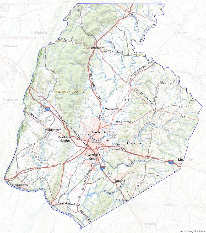
Frederick County Topographic Map
Frederick County Satellite Map

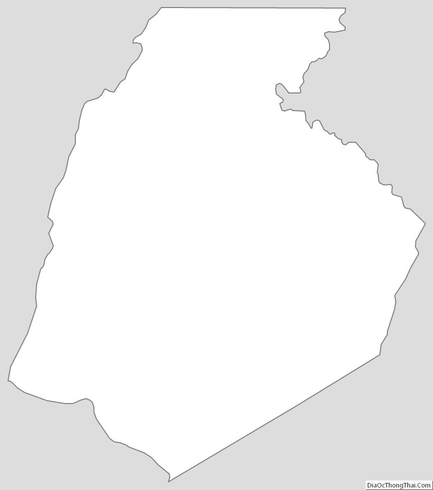
Frederick County Outline Map