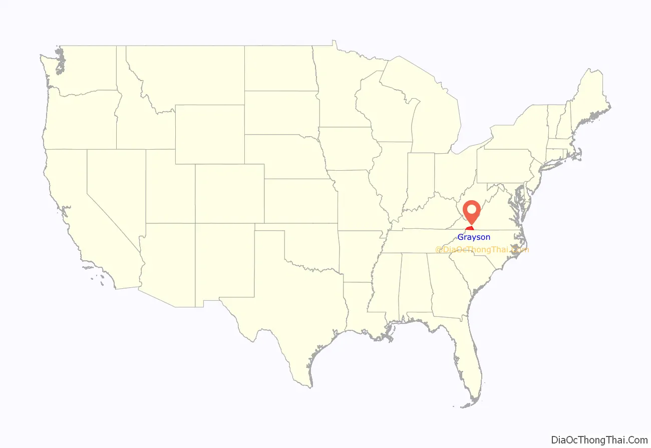
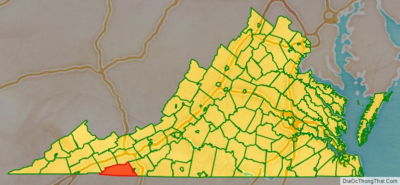
Grayson County is a county located in the southwestern part of the Commonwealth of Virginia. As of the 2020 census, the population was 15,333. Its county seat is Independence. Mount Rogers, the state’s highest peak at 5,729 feet (1,746 m), is in Grayson County.
| Name: | Grayson County |
|---|---|
| FIPS code: | 51-077 |
| State: | Virginia |
| Founded: | 1793 |
| Named for: | William Grayson |
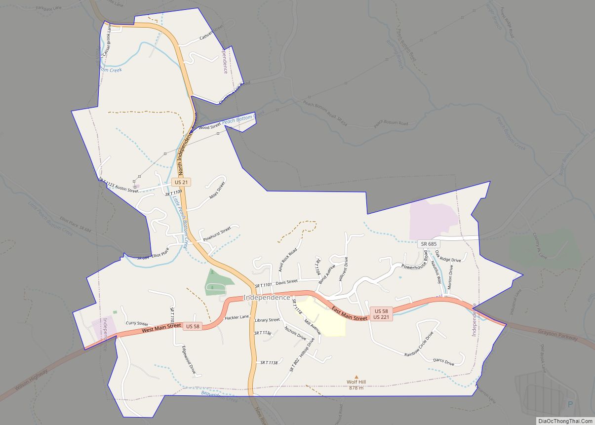
| Seat: | Independence |
| Largest town: | Independence |
| Total Area: | 446 sq mi (1,160 km²) |
| Land Area: | 442 sq mi (1,140 km²) |
| Total Population: | 15,333 |
| Population Density: | 34/sq mi (13/km²) |
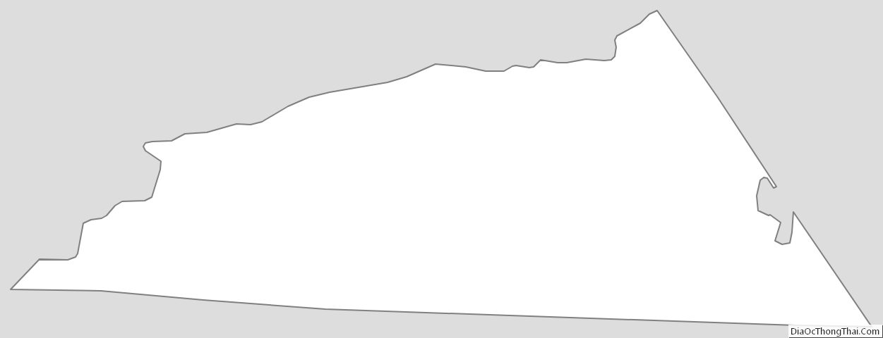
Grayson County location map. Where is Grayson County?
History
Grayson County was founded in 1793 from part of Wythe County. It was named for William Grayson, delegate to the Continental Congress from 1784 to 1787 and one of the first two U.S. Senators from Virginia. The first courthouse was built in Greensville, later called Oldtown, constructed in 1794 and rebuilt beginning in 1832. In 1842, the Virginia General Assembly authorized the division of Grayson County, the northeastern portion becoming Carroll County.
During the American Civil War, little fighting occurred within Grayson County,VA. However, the “Grayson Dare Devils” (Company F, 4th Regiment of the Stonewall Brigade) were recruited from the Elk Creek Valley of Grayson County shortly after Virginia seceded, and sustained significant losses as the First Battle of Manassas. The Grayson Cavalry was Company C of the 8th Virginia Cavalry, which served until the war’s end. Company D of the 50th Virginia Infantry was recruited in the Mouth of Wilson Community and they were known as the “Wilson Rifles.”
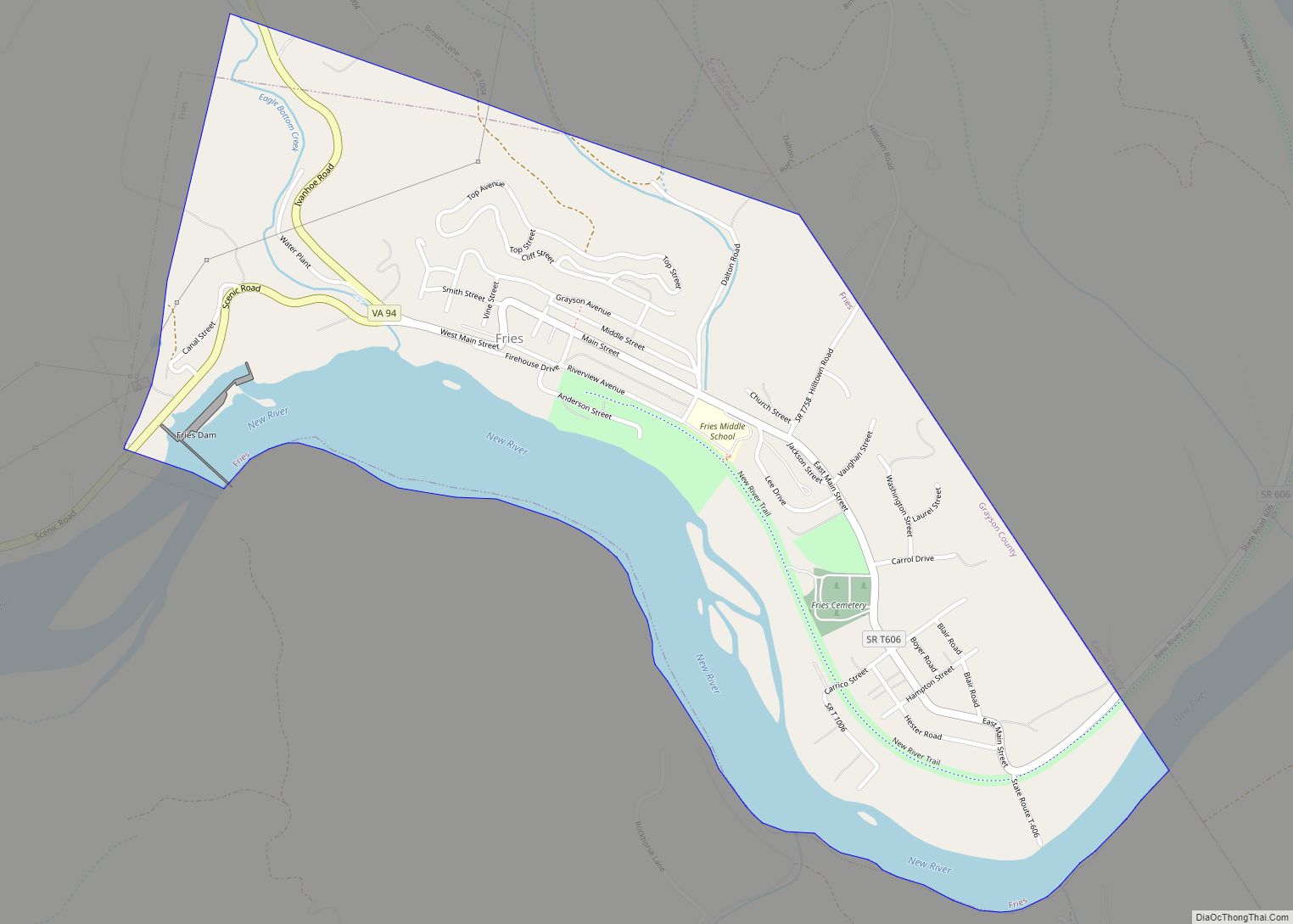
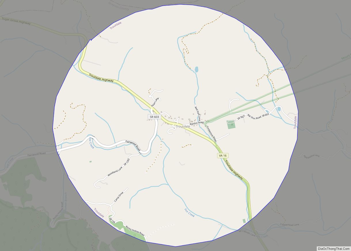
The county seat since shortly before the American Civil War has been Independence, Virginia, since the former county seat had been centrally located until Carroll County split off (and Oldtown now is a district within Grayson county). The Old Grayson County Courthouse and Clerk’s Office renovated circa 1834 still exists, but is now located near what since 1953 is the independent city of Galax, Virginia. Even by 1890 the nearest railroad to Grayson county was nine miles from the county line, a Norfolk and Western Railway stop called “Rural Retreat.” Textile and then furniture factories arrived in Galax (which was planned as a town near the old village of Blair on a plateau beginning in 1903, and renamed after a plant harvested from the surrounding mountains). Also the New River was dammed at Fries to power a cotton mill, which also led to more direct service by the Norfolk and Western to Troutdale (which later faltered). Whitetop City and Fairwood also virtually disappeared during the Great Depression.
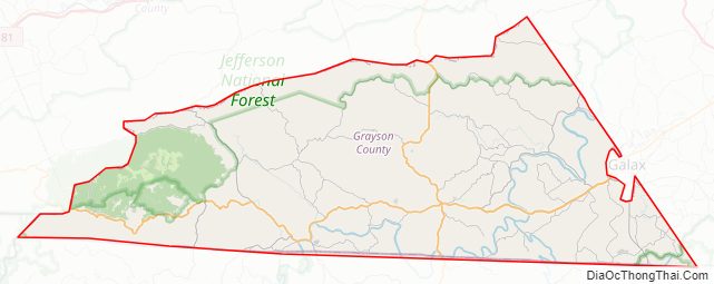
Grayson County Road Map
Geography
According to the U.S. Census Bureau, the county has a total area of 446 square miles (1,160 km), of which 442 square miles (1,140 km) is land and 3.8 square miles (9.8 km) (0.8%) is water. The southernmost point in Virginia lies in Grayson County. Additionally, it is the only county in Virginia containing an Oceanic climate.
Adjacent counties
National protected areas
- Blue Ridge Parkway (part)
- Jefferson National Forest (part)
- Mount Rogers National Recreation Area (part)
Major highways
- US 21
- US 58
- US 221
- SR 16
- SR 89
- SR 93
- SR 94
- SR 274
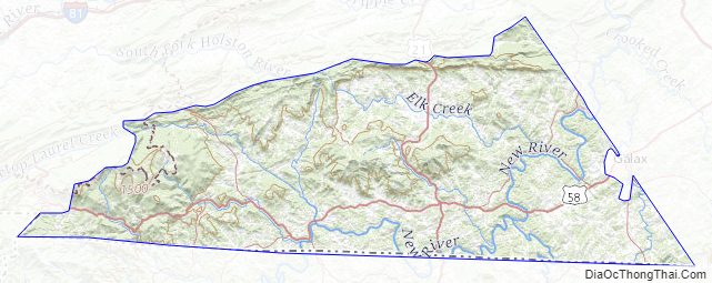
Grayson County Topographic Map
Grayson County Satellite Map
Grayson County Outline Map