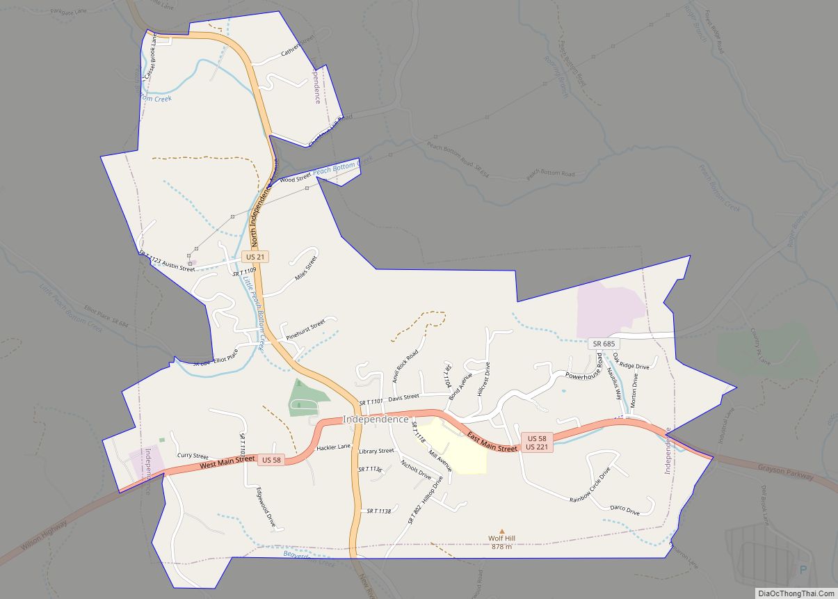
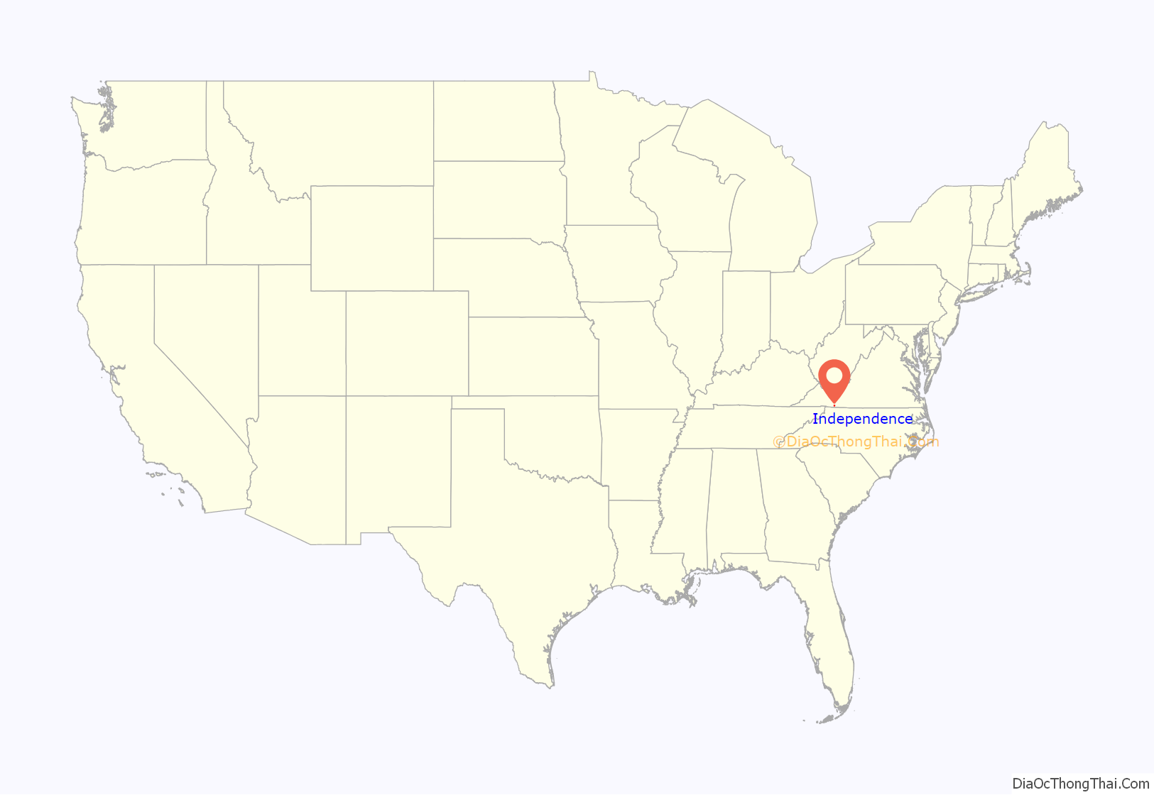
Independence is a town in Southwestern Virginia‘s Grayson County, with a population of 1,001 as of the 2020 census. As the Grayson County Seat, it is located 71 miles from Winston-Salem, North Carolina, the closest city with a population over 50,000, and is situated on Virginia’s Crooked Road, a heritage trail celebrating the musical heritage of Western and Southwest Virginia.
The town and county are noted for the original red brick 1908 Courthouse at the corner of Main Street (Virginia Route 58) and Independence Avenue (US 21), site of the annual July 4th Celebration and autumn Mountain Foliage Festival.
In 2021, the town created its first public park in its 115 year history, Town Park, on vacant property opposite the original Courthouse.
Town park is home to the Independence Farmers Market, which opens weekly from May–October and online year round. The market uses a timber-frame, white oak, pavilion completed in 2021 in collalboration with the Timber Framers Guild. Remaining work includes bathrooms, utilities and sitework — as well as a stage. The stage hosts Farmers Market as well as Crooked Road events and is named the Uncle Wade Old Time Stage, after noted musician and Independence native, Wade Ward.
| Name: | Independence town |
|---|---|
| LSAD Code: | 43 |
| LSAD Description: | town (suffix) |
| State: | Virginia |
| County: | Grayson County |
| Elevation: | 2,680 ft (820 m) |
| Total Area: | 2.35 sq mi (6.08 km²) |
| Land Area: | 2.34 sq mi (6.07 km²) |
| Water Area: | 0.00 sq mi (0.01 km²) |
| Total Population: | 1,001 |
| Population Density: | 380.71/sq mi (147.00/km²) |
| ZIP code: | 24348 |
| Area code: | 276 |
| FIPS code: | 5139528 |
| GNISfeature ID: | 1498495 |
| Website: | www.independenceva.com |
Online Interactive Map
Click on ![]() to view map in "full screen" mode.
to view map in "full screen" mode.
Independence location map. Where is Independence town?

History
The Brookside Farm and Mill and the original Grayson County Courthouse are listed on the National Register of Historic Places.
The Courthouse features a Richardsonian style by noted architect Frank Pierce Milburn following his designs Wise County, VA and Forsyth County, NC, and the Southern Railway Station in Knoxville, TN. The design features corbeled brackets and a Flemish gable between octagonal corner towers with roof element. A horizontal course and a cornice wrap the building to a central portico. Some brick from an 1863 courthouse previously occupying the site was re-used as fill inside the walls, with remaining brick arriving from Maysville, Ky., rail-shipped to Fries, Virginia and delivered by ox drawn wagon to Independence. Office furniture was purchased from Richmond. To safely store county documents — birth, marriage, property, and death records — the building included a state-mandated fireproof vault.
The county constructed a new courthouse in the 1970s, and the 1908 building was nearly razed after left vacant in 1981, badly in disrepair. Rescued by citizens groups — Grayson County Historical Society and a grass-roots group, People and the Courthouse (PATCH) — and restored. A local businessman, Dan Doyle Baldwin (1933-1994, CEO of Nautilus Fitness) purchased and restored the building, in turn donating it on July 4, 1986 to Grayson County and forming the Historic 1908 Courthouse Foundation. The courthouse now serves as the Grayson County Art & Cultural Center. The Grayson Crossroads Museum is now located on the first floor in what was the Clerk’s Vault Room and the building accommodates special events and community activities. Open to the public, the Baldwin Auditorium occupies the former courtroom. The 1908 Courthouse is now featured prominently on the Grayson County logo. A carrara marble Confederate Monument, titled “Parade Rest”, was dedicated in 1911, remaining in place as of 2022.
From the 1970s to the 1990s, Independence was home to the Nautilus Fitness manufacturing plant and warehouse at a 56 acre site 709 Powerhouse Road, reaching a peak of 600 employees in 1984. One of Grayson County’s major industries, Nautilus was sold to Bowflex in 1997. The plant remains, currently owned by Medfit Systems.
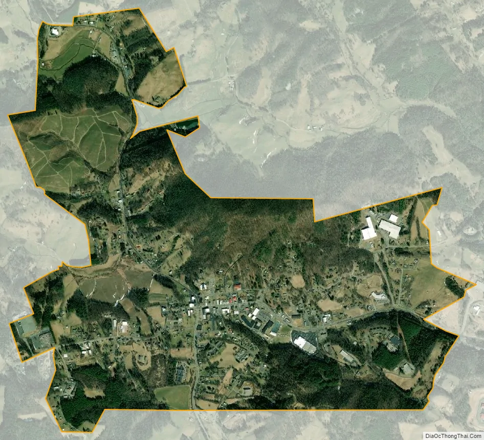
Independence Road Map

Independence city Satellite Map
Geography
Independence is located at 36°37′22″N 81°9′6″W / 36.62278°N 81.15167°W / 36.62278; -81.15167 (36.622906, -81.151735).
According to the United States Census Bureau, the town has a total area of 2.3 square miles (6.1 km²), all land.
Climate
The climate in Independence has mild differences between highs and lows, and there is adequate rainfall year-round. According to the Köppen Climate Classification system, Independence has a marine west coast climate, abbreviated “Cfb” on climate maps.
See also
Map of Virginia State and its subdivision:- Accomack
- Albemarle
- Alexandria
- Alleghany
- Amelia
- Amherst
- Appomattox
- Arlington
- Augusta
- Bath
- Bedford
- Bedford City
- Bland
- Botetourt
- Bristol
- Brunswick
- Buchanan
- Buckingham
- Buena Vista
- Campbell
- Caroline
- Carroll
- Charles City
- Charlotte
- Charlottesville
- Chesapeake
- Chesterfield
- Clarke
- Clifton Forge City
- Colonial Heights
- Covington
- Craig
- Culpeper
- Cumberland
- Danville
- Dickenson
- Dinwiddie
- Emporia
- Essex
- Fairfax
- Fairfax City
- Falls Church
- Fauquier
- Floyd
- Fluvanna
- Franklin
- Frederick
- Fredericksburg
- Galax
- Giles
- Gloucester
- Goochland
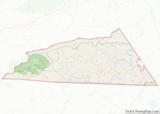
- Grayson
- Greene
- Greensville
- Halifax
- Hampton
- Hanover
- Harrisonburg
- Henrico
- Henry
- Highland
- Hopewell
- Isle of Wight
- James City
- King and Queen
- King George
- King William
- Lancaster
- Lee
- Lexington
- Loudoun
- Louisa
- Lunenburg
- Lynchburg
- Madison
- Manassas
- Manassas Park
- Martinsville
- Mathews
- Mecklenburg
- Middlesex
- Montgomery
- Nelson
- New Kent
- Newport News
- Norfolk
- Northampton
- Northumberland
- Norton
- Nottoway
- Orange
- Page
- Patrick
- Petersburg
- Pittsylvania
- Poquoson
- Portsmouth
- Powhatan
- Prince Edward
- Prince George
- Prince William
- Pulaski
- Radford
- Rappahannock
- Richmond
- Roanoke
- Roanoke City
- Rockbridge
- Rockingham
- Russell
- Salem
- Scott
- Shenandoah
- Smyth
- Southampton
- Spotsylvania
- Stafford
- Staunton
- Suffolk
- Surry
- Sussex
- Tazewell
- Virginia Beach
- Warren
- Washington
- Waynesboro
- Westmoreland
- Williamsburg
- Winchester
- Wise
- Wythe
- York
- Alabama
- Alaska
- Arizona
- Arkansas
- California
- Colorado
- Connecticut
- Delaware
- District of Columbia
- Florida
- Georgia
- Hawaii
- Idaho
- Illinois
- Indiana
- Iowa
- Kansas
- Kentucky
- Louisiana
- Maine
- Maryland
- Massachusetts
- Michigan
- Minnesota
- Mississippi
- Missouri
- Montana
- Nebraska
- Nevada
- New Hampshire
- New Jersey
- New Mexico
- New York
- North Carolina
- North Dakota
- Ohio
- Oklahoma
- Oregon
- Pennsylvania
- Rhode Island
- South Carolina
- South Dakota
- Tennessee
- Texas
- Utah
- Vermont
- Virginia
- Washington
- West Virginia
- Wisconsin
- Wyoming