Metcalfe County is a county located in the U.S. state of Kentucky. Its county seat and only municipality is Edmonton. The county was founded in May 1860 and named for Thomas Metcalfe, Governor of Kentucky from 1828 to 1832. Metcalfe County is part of the Glasgow, KY Micropolitan Statistical Area, which is also included in the Bowling Green–Glasgow, KY Combined Statistical Area.
| Name: | Metcalfe County |
|---|---|
| FIPS code: | 21-169 |
| State: | Kentucky |
| Founded: | 1860 |
| Named for: | Thomas Metcalfe |
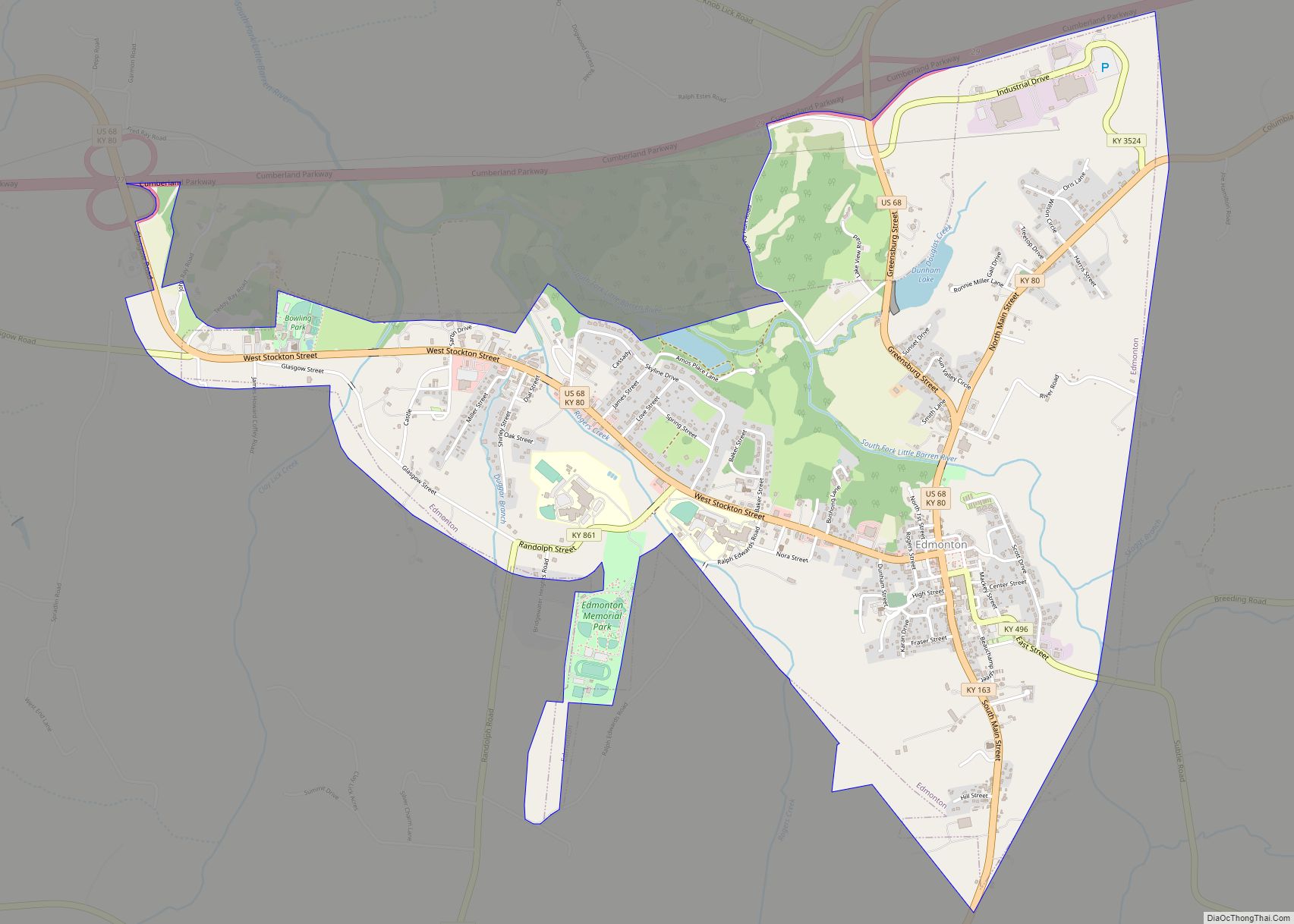
| Seat: | Edmonton |
| Largest city: | Edmonton |
| Total Area: | 291 sq mi (750 km²) |
| Land Area: | 290 sq mi (800 km²) |
| Total Population: | 10,286 |
| Population Density: | 35/sq mi (14/km²) |
| Time zone: | UTC−6 (Central) |
| Summer Time Zone (DST): | UTC−5 (CDT) |
| Website: | www.metcalfecounty.com |
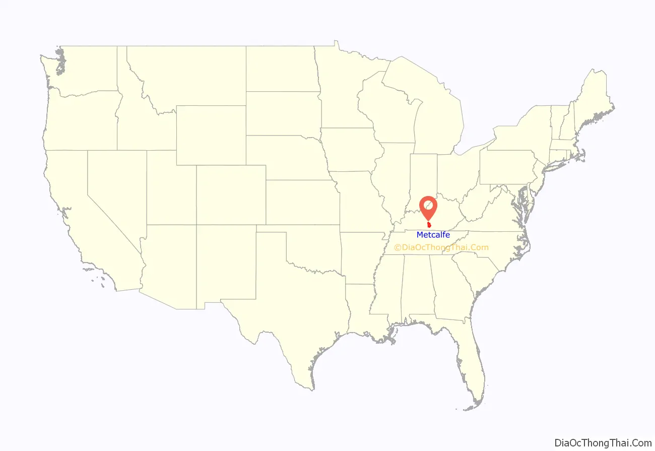
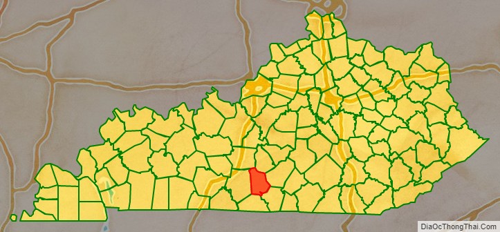
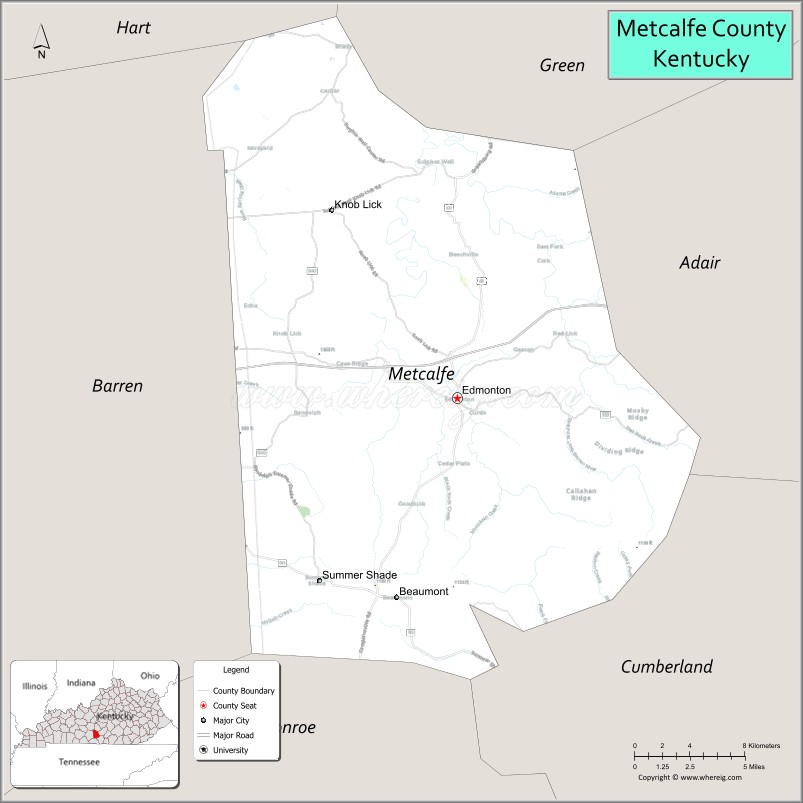
Metcalfe County location map. Where is Metcalfe County?
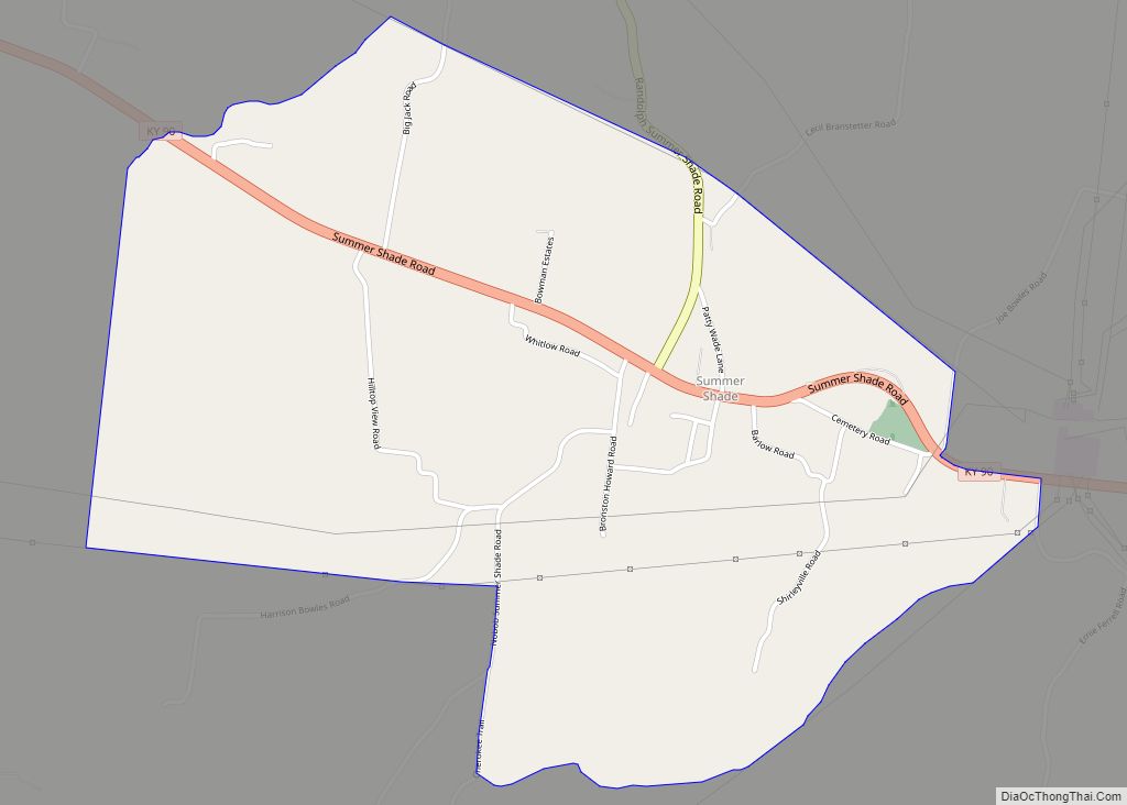
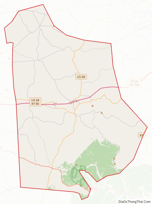
Metcalfe County Road Map
Geography
According to the U.S. Census Bureau, the county has a total area of 291 square miles (750 km), of which 290 square miles (750 km) is land and 1.5 square miles (3.9 km) (0.5%) is water.
Adjacent counties
- Hart County (northwest)
- Green County (northeast)
- Adair County (east)
- Cumberland County (southeast)
- Monroe County (south)
- Barren County (west)
Metcalfe County Topographic Map
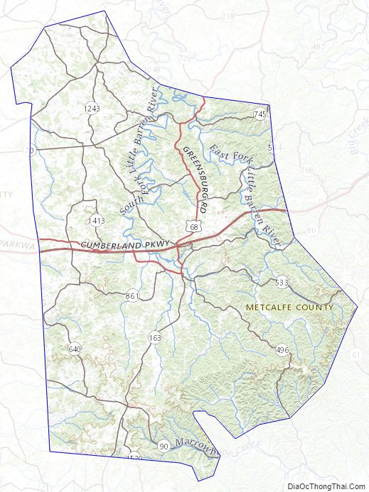
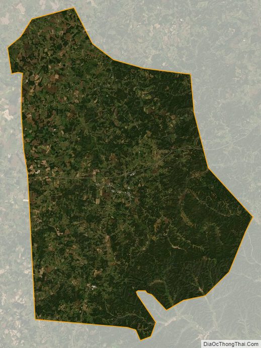
Metcalfe County Satellite Map
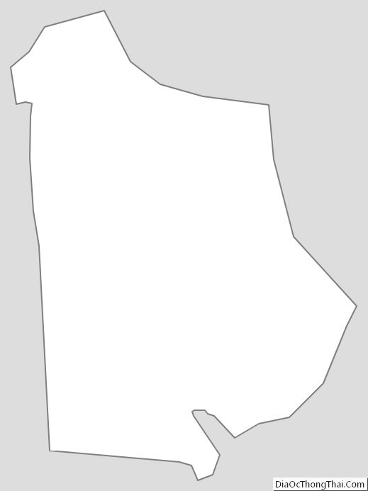
Metcalfe County Outline Map