Green County is a county located in the U.S. state of Wisconsin. As of the 2020 census, the population was 37,093. Its county seat is Monroe. Green County is included in the Madison, WI Metropolitan Statistical Area.
| Name: | Green County |
|---|---|
| FIPS code: | 55-045 |
| State: | Wisconsin |
| Founded: | 1837 |
| Named for: | Nathanael Greene |
| Seat: | Monroe |
| Largest city: | Monroe |
| Total Area: | 584 sq mi (1,510 km²) |
| Land Area: | 584 sq mi (1,510 km²) |
| Total Population: | 37,093 |
| Population Density: | 63.5/sq mi (24.5/km²) |
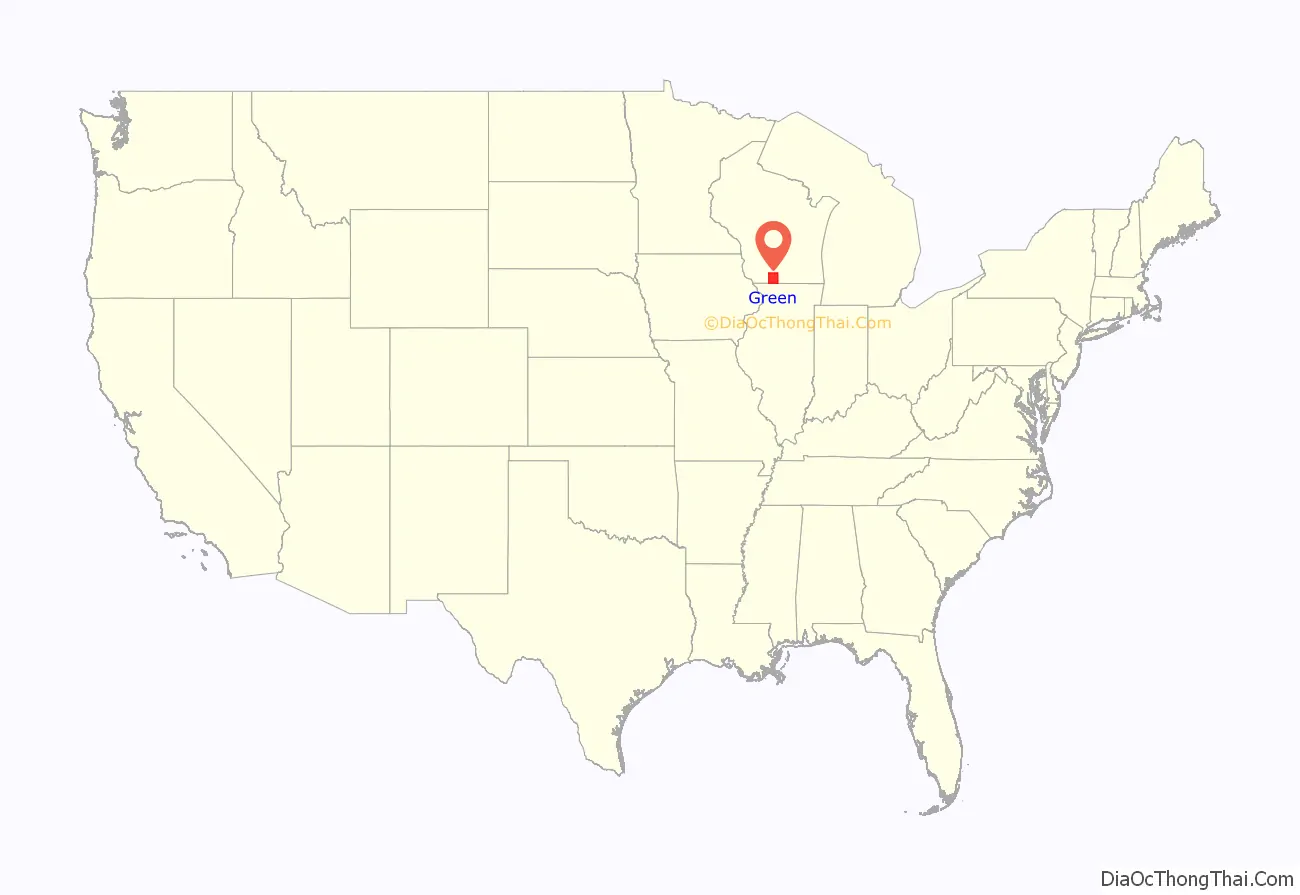
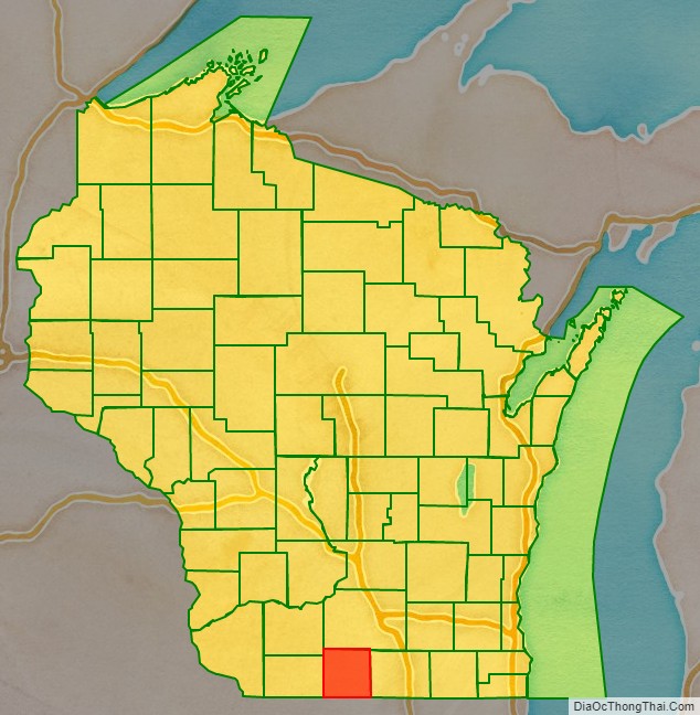
Green County location map. Where is Green County?
History
The county was created in 1837 from the Wisconsin Territory. When in December 1837, a new county was to be split off from the over-large Iowa County, William Boyles of Monroe, as the Representative of the area, was allowed to choose a name. He chose Green County, after the verdant color of the vegetation there. Another member suggested that it be modified to “Greene” after General Nathanael Greene, who commanded the Southern Campaign in the American Revolutionary War but Boyles insisted on his original choice.The story that it was named for General Greene still persists in some circles.
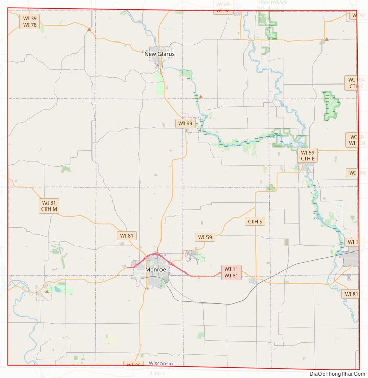
Green County Road Map
Geography
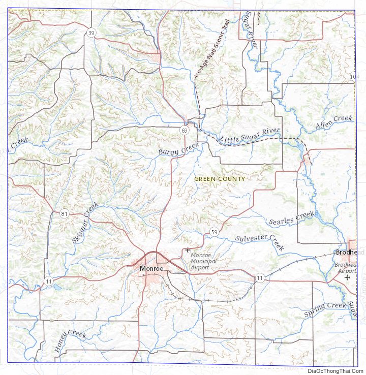
According to the U.S. Census Bureau, the county has a total area of 584 square miles (1,510 km), of which 584 square miles (1,510 km) is land and 0.5 square miles (1.3 km) (0.09%) is water.
Major highways
- Highway 11 (Wisconsin)
- Highway 39 (Wisconsin)
- Highway 59 (Wisconsin)
- Highway 69 (Wisconsin)
- Highway 78 (Wisconsin)
- Highway 81 (Wisconsin)
- Highway 92 (Wisconsin)
- Highway 104 (Wisconsin)
Railroads
- Wisconsin and Southern Railroad
Buses
- List of intercity bus stops in Wisconsin
Airport
Monroe Municipal Airport (KEFT) serves the county and surrounding communities.
Adjacent counties
- Dane County – north
- Rock County – east
- Winnebago County, Illinois – southeast
- Stephenson County, Illinois – south
- Lafayette County – west
- Iowa County – northwest
Green County Topographic Map
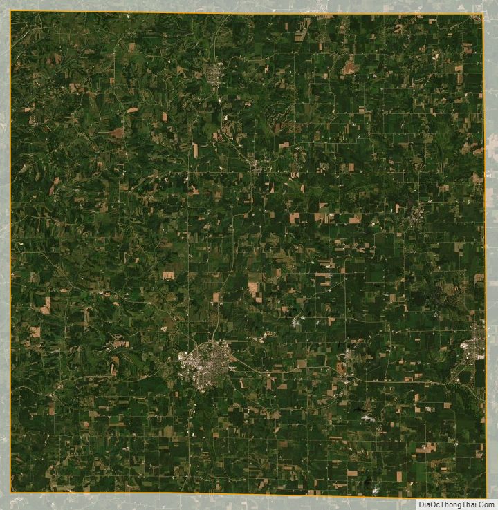
Green County Satellite Map
Green County Outline Map