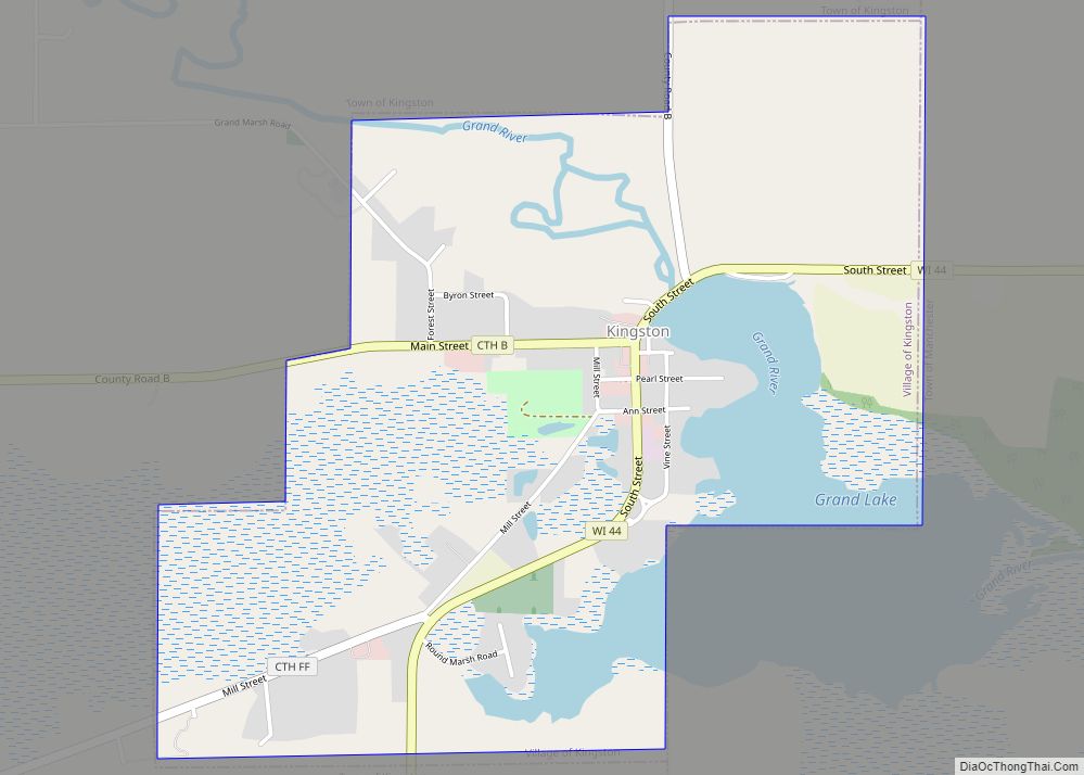
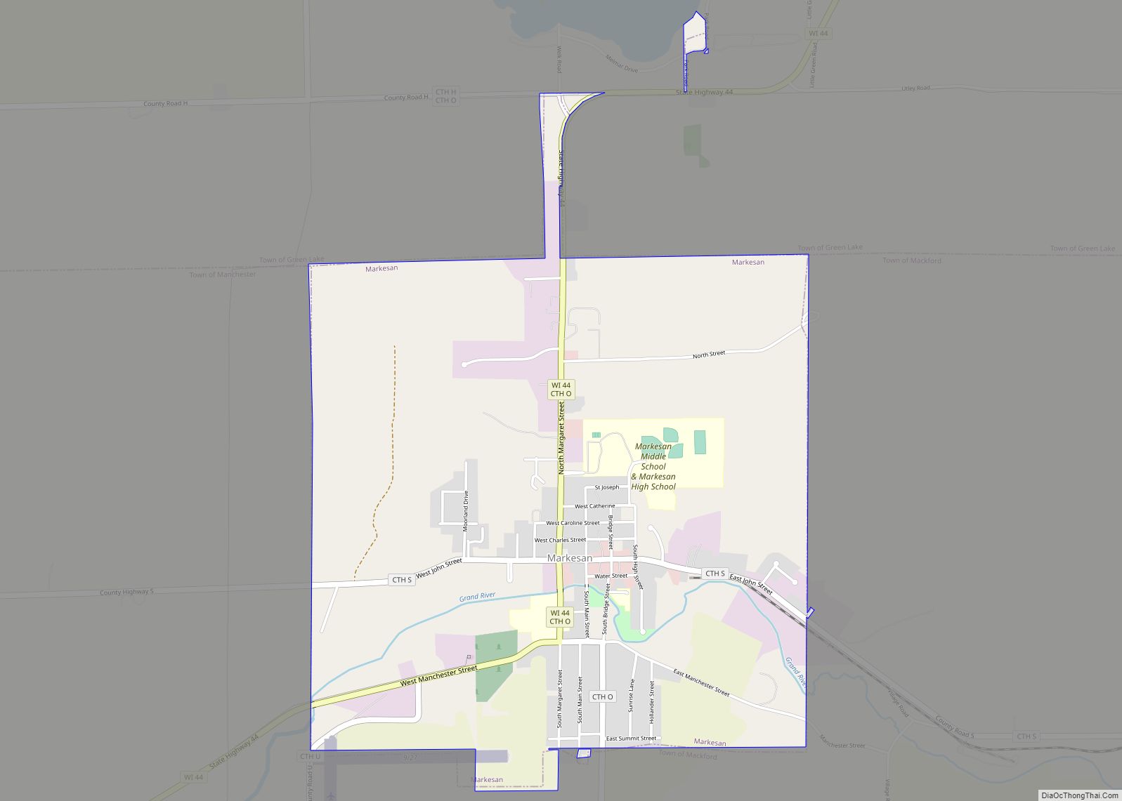
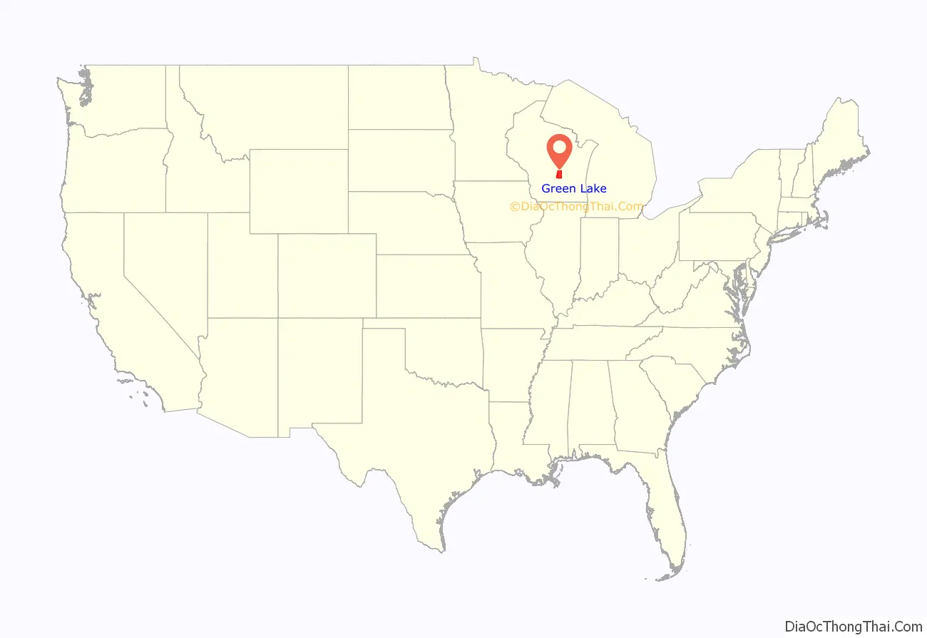
Green Lake County is a county located in the U.S. state of Wisconsin. As of the 2020 census, the population was 19,018. Its county seat is Green Lake. In 2020, the center of population of Wisconsin was located in Green Lake County, near the city of Markesan.
| Name: | Green Lake County |
|---|---|
| FIPS code: | 55-047 |
| State: | Wisconsin |
| Founded: | 1858 |
| Named for: | Green Lake |
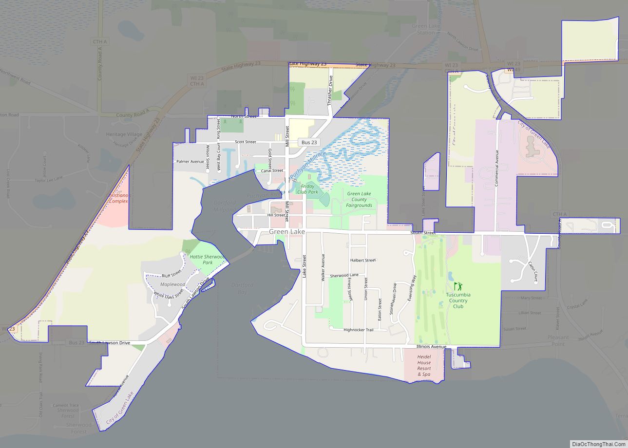
| Seat: | Green Lake |
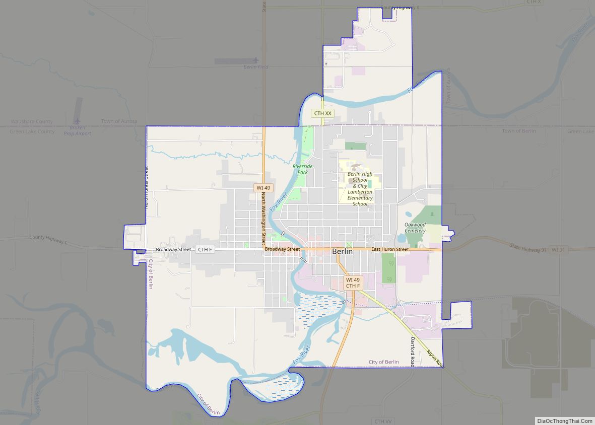
| Largest city: | Berlin |
| Total Area: | 380 sq mi (1,000 km²) |
| Land Area: | 349 sq mi (900 km²) |
| Total Population: | 19,018 |
| Population Density: | 54.4/sq mi (21.0/km²) |
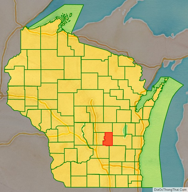
Green Lake County location map. Where is Green Lake County?
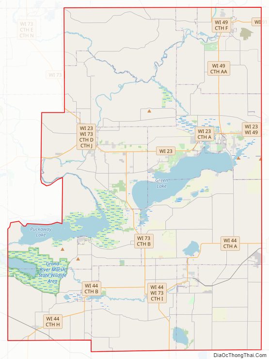
Green Lake County Road Map
Geography
According to the U.S. Census Bureau, the county has a total area of 380 square miles (980 km), of which 349 square miles (900 km) are land and 31 square miles (80 km) (8.1%) are covered by water. It is the third-smallest county in Wisconsin by total area.
Major highways
- Highway 23 (Wisconsin)
- Highway 44 (Wisconsin)
- Highway 49 (Wisconsin)
- Highway 73 (Wisconsin)
- Highway 91 (Wisconsin)
Railroads
- Union Pacific
- Wisconsin and Southern Railroad
Buses
- List of intercity bus stops in Wisconsin
Adjacent counties
- Waushara County – north
- Winnebago County – northeast
- Fond du Lac County – east
- Dodge County – southeast
- Columbia County – southwest
- Marquette County – west
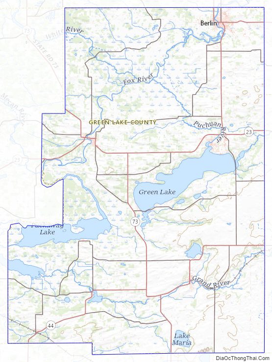
Green Lake County Topographic Map
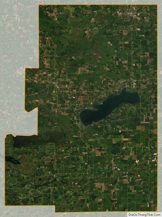
Green Lake County Satellite Map
Green Lake County Outline Map