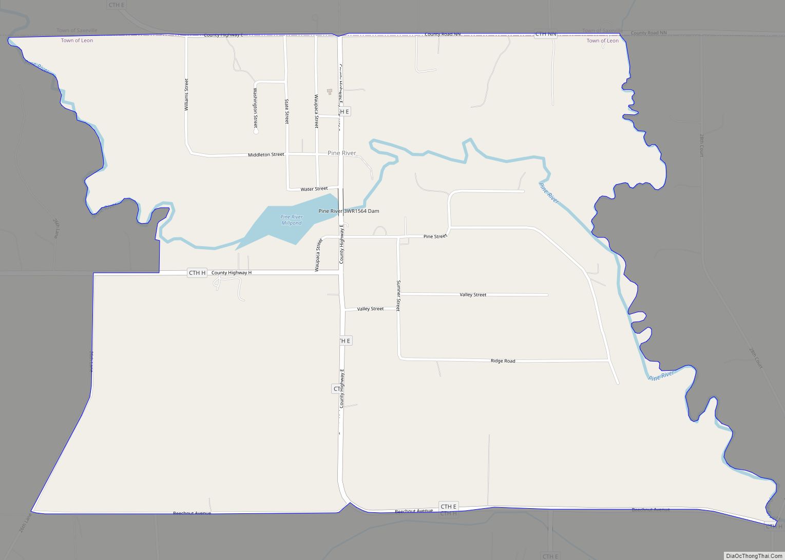
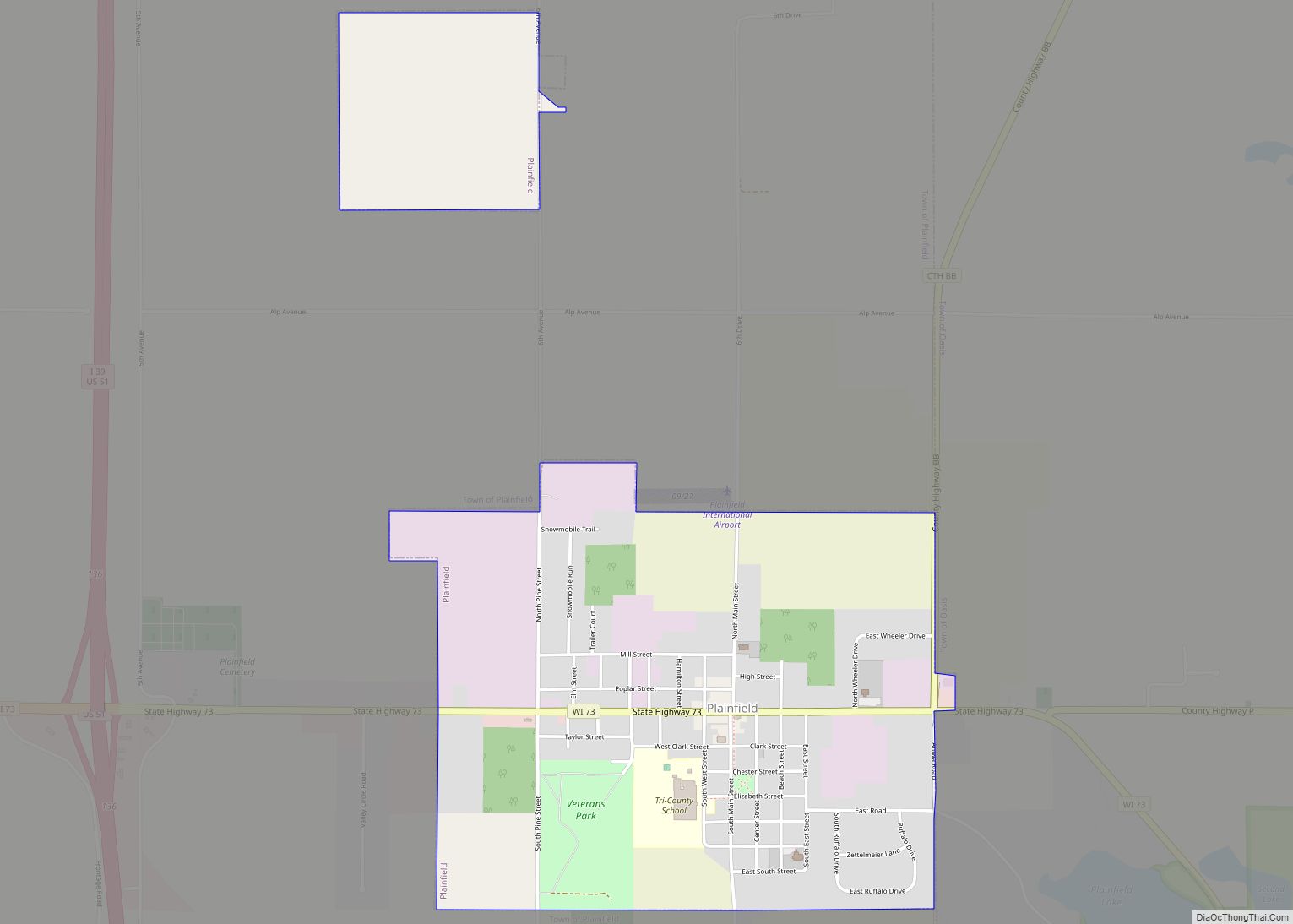
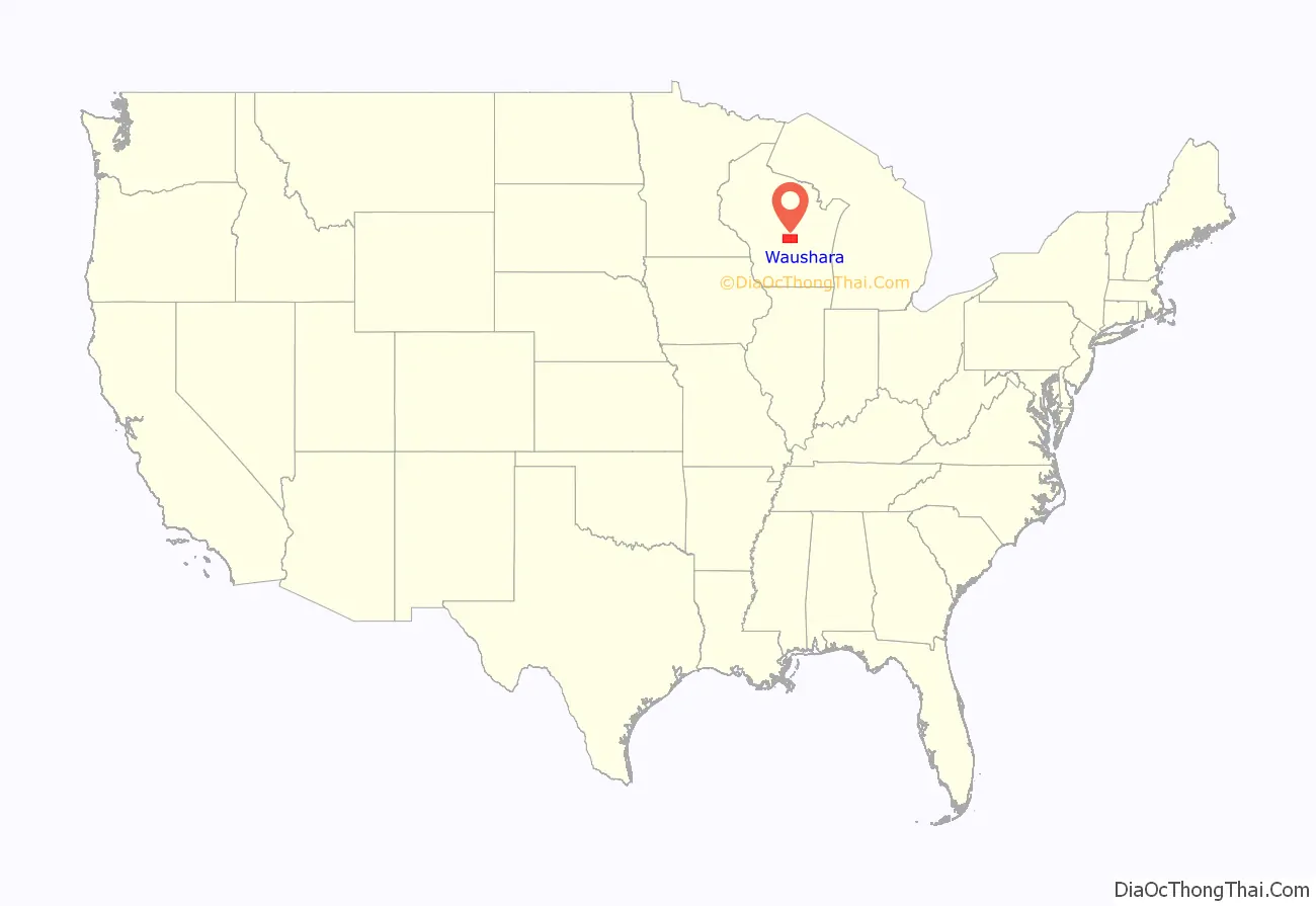
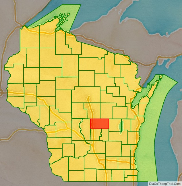
Waushara County is a county located in the U.S. state of Wisconsin. As of the 2020 census, the population was 24,520. Its county seat is Wautoma.
Waushara County is located in central Wisconsin, about 80 miles (130 km) north of Madison.
| Name: | Waushara County |
|---|---|
| FIPS code: | 55-137 |
| State: | Wisconsin |
| Founded: | 1852 |
| Named for: | Ho-Chunk term meaning “good earth” |
| Seat: | Wautoma |
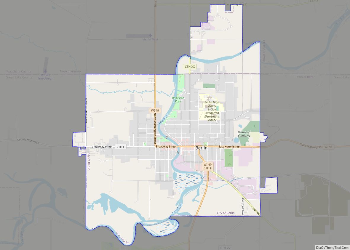
| Largest city: | Berlin |
| Total Area: | 637 sq mi (1,650 km²) |
| Land Area: | 626 sq mi (1,620 km²) |
| Total Population: | 24,520 |
| Population Density: | 39.2/sq mi (15.1/km²) |
Waushara County location map. Where is Waushara County?
History
Waushara County was established by an act of the Wisconsin Legislature on February 15, 1851. It originally consisted of a single organized Town of Waushara. In 1852 the county achieved full organization. The county seat was first located at Sacramento and was relocated to Wautoma in 1854 after a bitter fight between proponents of the two places. The name is of Ho-Chunk origin and is believed to mean “good land”.
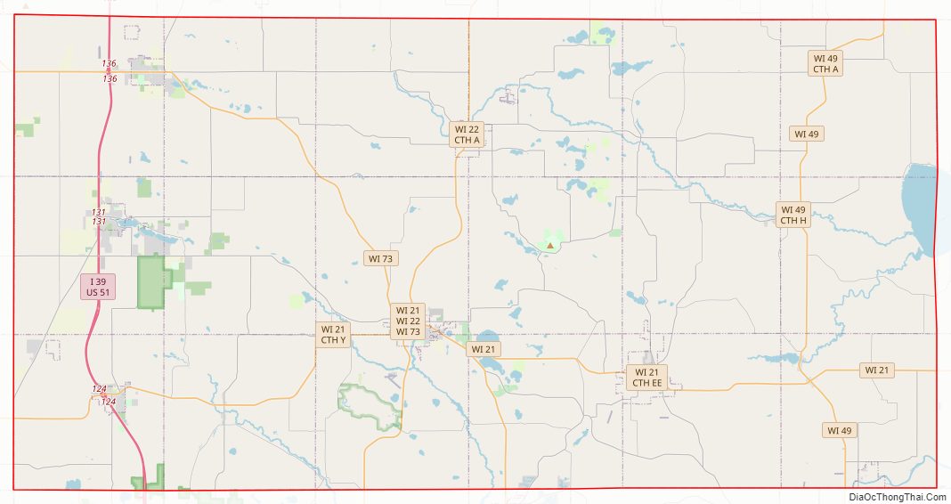
Waushara County Road Map
Geography
According to the U.S. Census Bureau, the county has a total area of 637 square miles (1,650 km), of which 626 square miles (1,620 km) is land and 11 square miles (28 km) (1.8%) is water.
Major highways
- Interstate 39
- U.S. Highway 51
- Highway 21 (Wisconsin)
- Highway 22 (Wisconsin)
- Highway 49 (Wisconsin)
- Highway 73 (Wisconsin)
Buses
- List of intercity bus stops in Wisconsin
Airports
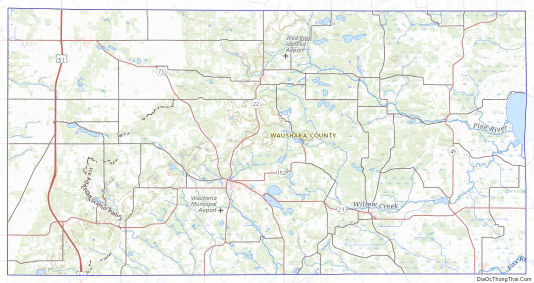
- Wautoma Municipal Airport (FAA LID: Y50) serves Waushara County and the surrounding communities
- Wild Rose Idlewild Airport (FAA LID: W23) also serves Waushara County and the surrounding communities
Adjacent counties
- Portage County – north
- Waupaca County – northeast
- Winnebago County – east
- Green Lake County – south
- Marquette County – south
- Adams County – west
Waushara County Topographic Map
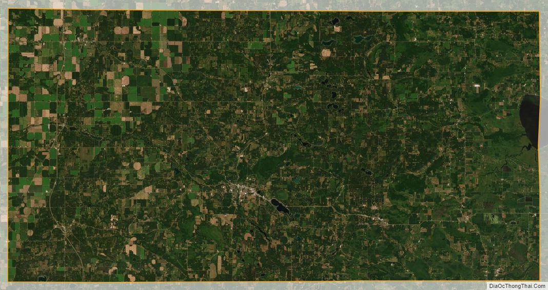
Waushara County Satellite Map
Waushara County Outline Map