Dodge County is a county located in the U.S. state of Wisconsin. As of the 2020 census, the population was 89,396. Its county seat is Juneau. The county was created from the Wisconsin Territory in 1836 and organized in 1844.
Dodge County comprises the Beaver Dam, WI Micropolitan Statistical Area, which is included in the Milwaukee–Racine–Waukesha, WI Combined Statistical Area.
| Name: | Dodge County |
|---|---|
| FIPS code: | 55-027 |
| State: | Wisconsin |
| Founded: | 1844 |
| Named for: | Henry Dodge |
| Seat: | Juneau |
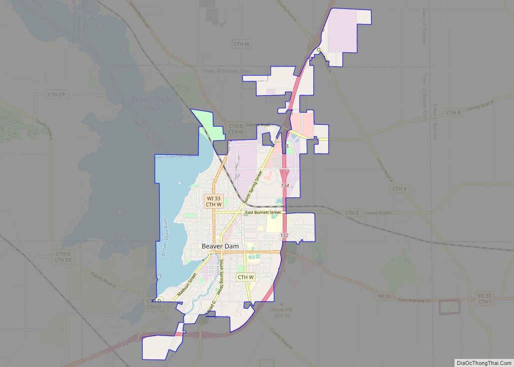
| Largest city: | Beaver Dam |
| Total Area: | 907 sq mi (2,350 km²) |
| Land Area: | 876 sq mi (2,270 km²) |
| Total Population: | 89,396 |
| Population Density: | 102.1/sq mi (39.4/km²) |
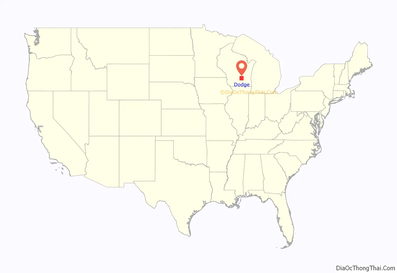
Dodge County location map. Where is Dodge County?
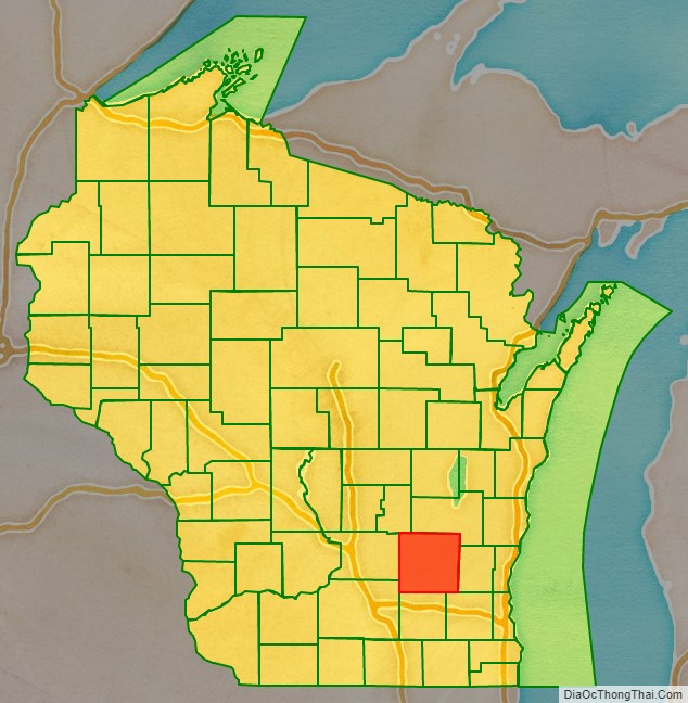
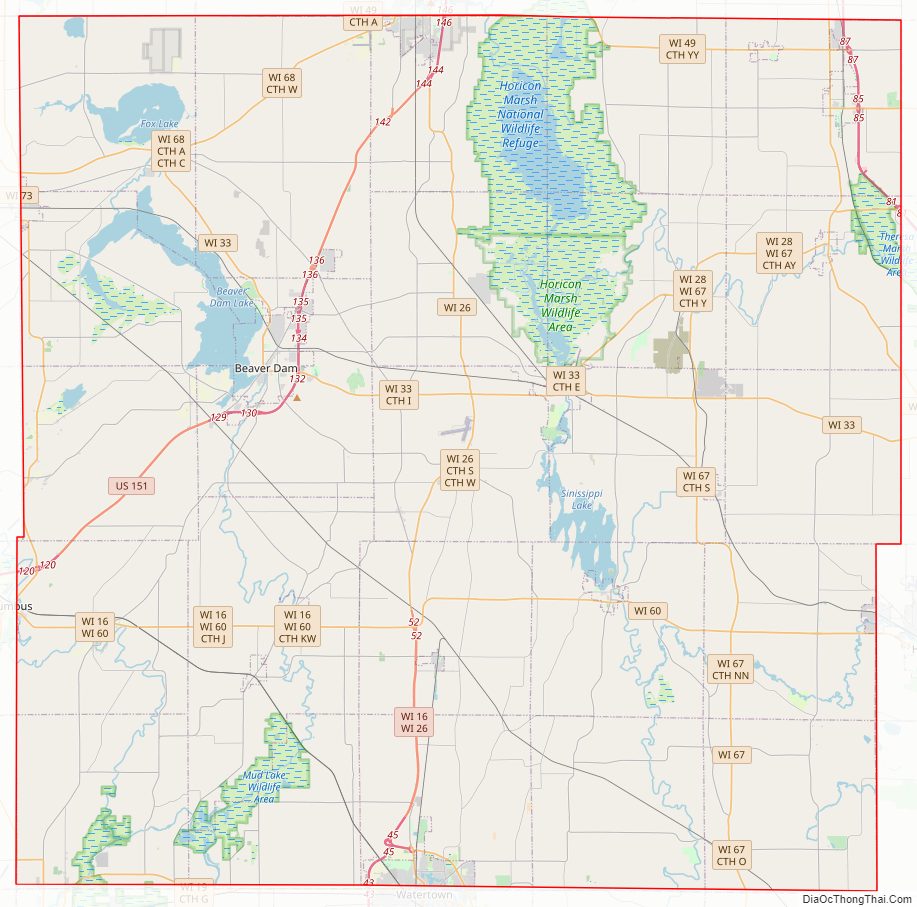
Dodge County Road Map
Geography
According to the U.S. Census Bureau, the county has a total area of 907 square miles (2,350 km), of which 876 square miles (2,270 km) is land and 31 square miles (80 km) (3.5%) is water.
The 6,718 acre Beaver Dam Lake and the 2,713 acre Fox Lake are found within the county.
Adjacent counties
- Fond du Lac County – northeast
- Washington County – east
- Waukesha County – southeast
- Jefferson County – south
- Dane County – southwest
- Columbia County – west
- Green Lake County – northwest
National protected area
- Horicon National Wildlife Refuge (part)
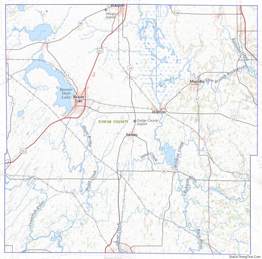
Dodge County Topographic Map
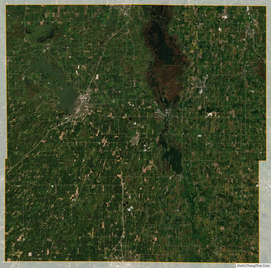
Dodge County Satellite Map
Dodge County Outline Map