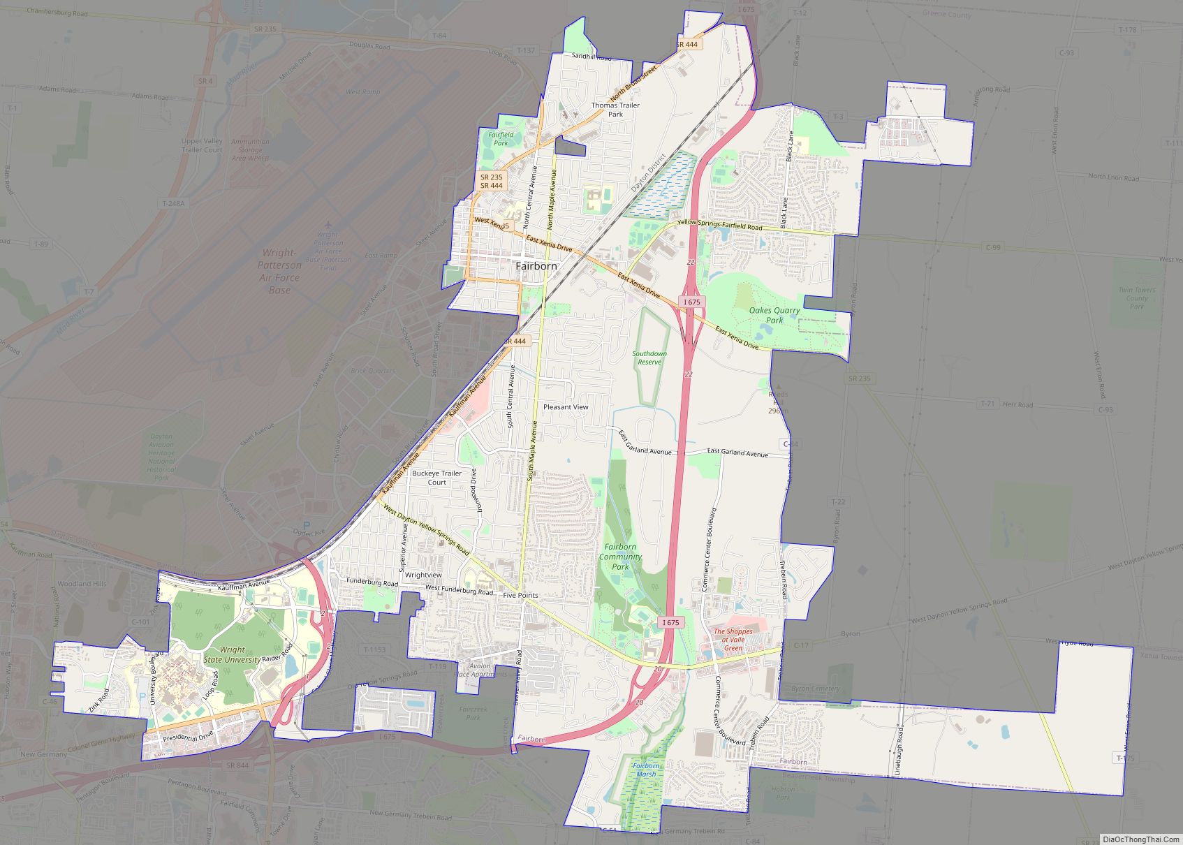
Fairborn is a city in Greene County, Ohio, United States. The population was 34,620 at the 2020 census. Fairborn is a suburb of Dayton, and part of the Dayton Metropolitan Statistical Area.
It is the only city in the world named Fairborn, a portmanteau created from the names Fairfield and Osborn. After the Great Dayton Flood of 1913, the region and state created a conservation district here and, in the 1920s, began building Huffman Dam to control the Mad River. Residents of Osborn were moved with their houses to an area alongside Fairfield. In 1950, the two villages merged into the new city of Fairborn.
The city is home to Wright State University, which serves nearly 12,000 undergraduate and graduate students. The city also hosts the disaster training facility known informally as Calamityville.
| Name: | Fairborn city |
|---|---|
| LSAD Code: | 25 |
| LSAD Description: | city (suffix) |
| State: | Ohio |
| County: | Greene County |
| Incorporated: | 1950 |
| Elevation: | 837 ft (255 m) |
| Total Area: | 14.58 sq mi (37.77 km²) |
| Land Area: | 14.57 sq mi (37.74 km²) |
| Water Area: | 0.01 sq mi (0.03 km²) |
| Total Population: | 34,620 |
| Population Density: | 2,368.57/sq mi (914.50/km²) |
| ZIP code: | 45324 |
| Area code: | 937, 326 |
| FIPS code: | 3925914 |
| GNISfeature ID: | 1077584 |
| Website: | https://www.fairbornoh.gov |
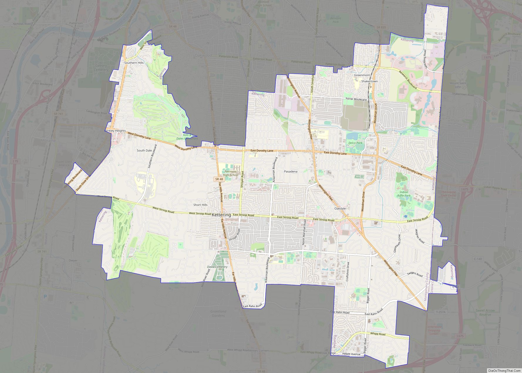
Online Interactive Map
Click on ![]() to view map in "full screen" mode.
to view map in "full screen" mode.
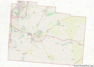
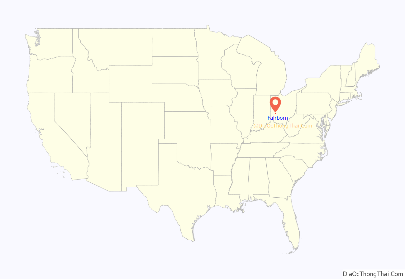
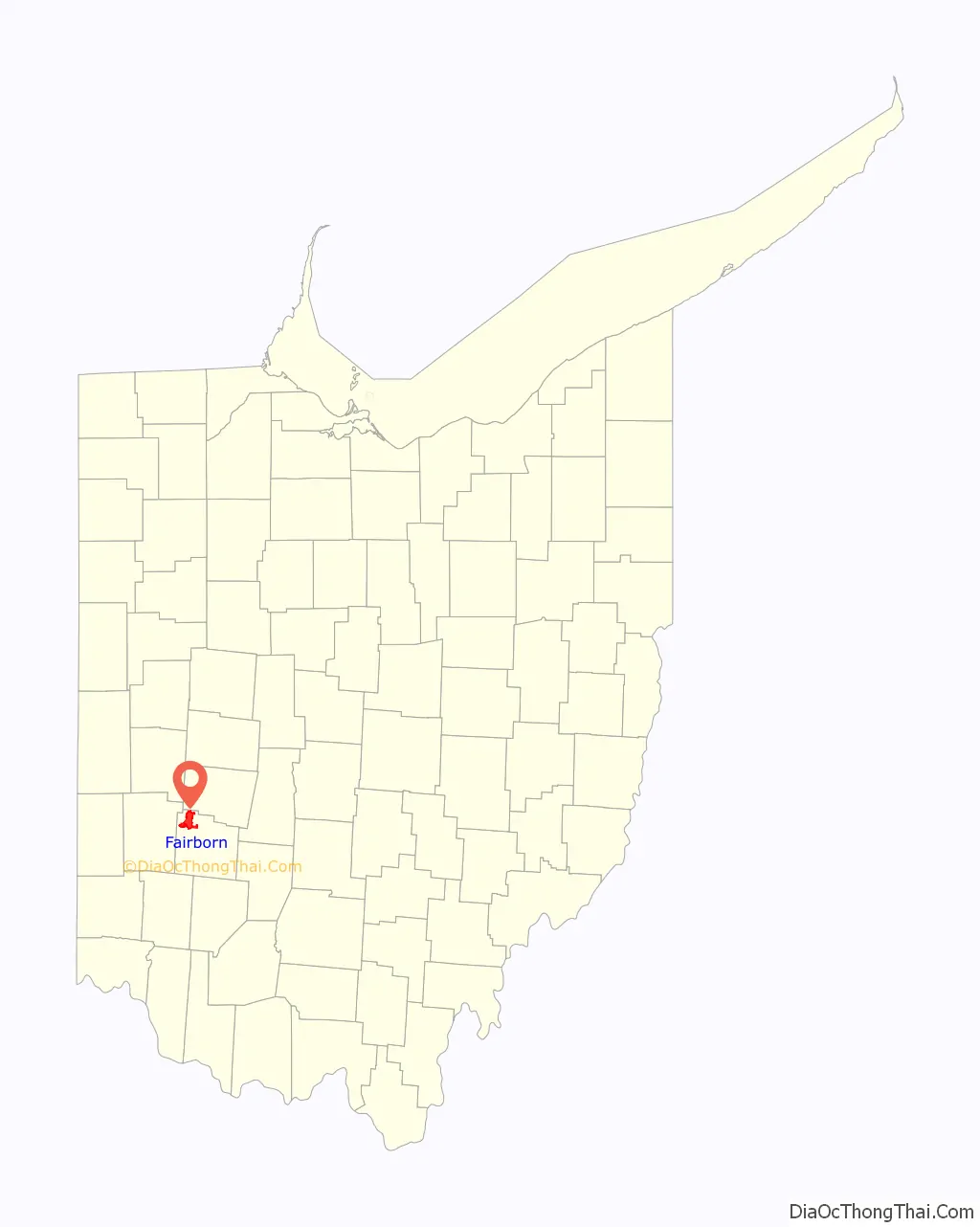
Fairborn location map. Where is Fairborn city?
History
Fairborn was formed from the union in 1950 of the two villages of Fairfield and Osborn. Fairfield was founded by European Americans in 1816 and Osborn in 1850.
The area of the village of Fairfield was settled by European Americans before Ohio was admitted as a state. The first log cabin was built in 1799 by George Greiner. Pioneers migrating northward and westward from Kentucky and Virginia considered this area near the Mad River desirable for settlement. They were encroaching on territory of the native Shawnee, who sometimes raided the village. Settlers retaliated. No massacres were recorded but both sides engaged in taking prisoners.
Two local accounts relate to the origin of the name “Fairfield”. A local Native American chief, possibly a Shawnee, made peace and exchanged prisoners with leaders of the settlement. He said to William Cozad that, when he looked out from Reed’s Hill over the town,
The other possible source for the name is after a Fairfield in England.
Nearby Osborn was named after the superintendent of the railroad named E.F. Osborn. The settlement allowed the railroad to be built through it after the nearby town of Fairfield had refused such construction. Many of the original houses of old Osborn can be found in Fairborn’s Historic Osborn District, where they were moved during the early 1920s.
From 1950–1970, the city grew to six times its former population, surpassing Xenia (the county seat) as the most populous city in the county, due largely to development and expansion of the nearby US Air Force Base. Southwestern Portland Cement, another major employer in the region, operated the largest factory in the city during this period, mining the locally exposed Brassfield Formation.
Until the mid-1960s, the city of Fairborn prohibited African Americans from living there and declared it was a sundown town. Officials at Wright-Patterson Air Force Base are credited with working with the city residents to end such policies, especially as the United States military was integrated beginning in 1948.
The development of Interstate 675 began in the 1960s to serve as an eastern bypass of Dayton. In the early 1970s, construction began on the northernmost part of I-675, just east of Fairborn. The first segment terminated at N. Fairfield Road (exit 17). No further construction was done for over a decade. This section was jokingly referred to by some as “Fairborn’s private Interstate”. Dayton Mayor James H. McGee opposed the highway, contending (accurately) that it would draw economic development out of the city into the suburbs, a pattern that took place in many other cities. I-675 was eventually completed by 1987.
Fairborn’s growth slowed in the 1970s. It has resumed at a moderate pace since the late 1980s. It has since been surpassed by neighboring Beavercreek in population.
In 2007, many residents of Fairborn continue to work at nearby Wright-Patterson Air Force Base, the home of the Air Force Materiel Command. It has been described as the largest, most diverse and organizationally complex base in the Air Force.
Many also work at or attend Wright State University, a university that became independent in 1967. From a small cluster of buildings, it has grown into a major campus with almost 20,000 students. Though Wright State has a Dayton address, it is legally within Fairborn jurisdiction. Wright State University has its own Police officers, who are fully sworn through the State of Ohio.
Fairborn is the home of the largest elementary school in Ohio, Fairborn Primary School. Its students included children of military assigned to the Air Force base.
Fairborn hosts an annual Sweet Corn Festival every August and the USAF marathon every September. It also has an annual 4th of July Parade. The Fairborn Wee Hawks Pee Wee Football teams are based here.
Fairborn Road Map

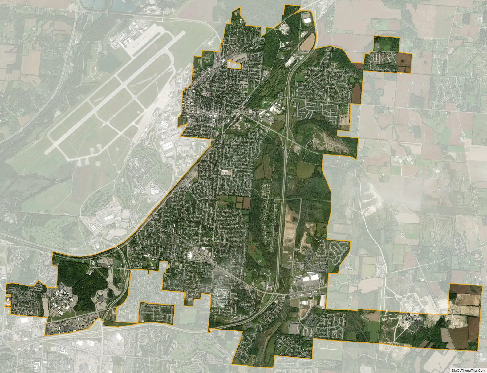
Fairborn city Satellite Map
Geography
According to the United States Census Bureau, the city has a total area of 13.17 square miles (34.11 km), of which, 13.16 square miles (34.08 km) is land and 0.01 square miles (0.03 km) is water.
See also
Map of Ohio State and its subdivision:- Adams
- Allen
- Ashland
- Ashtabula
- Athens
- Auglaize
- Belmont
- Brown
- Butler
- Carroll
- Champaign
- Clark
- Clermont
- Clinton
- Columbiana
- Coshocton
- Crawford
- Cuyahoga
- Darke
- Defiance
- Delaware
- Erie
- Fairfield
- Fayette
- Franklin
- Fulton
- Gallia
- Geauga
- Greene
- Guernsey
- Hamilton
- Hancock
- Hardin
- Harrison
- Henry
- Highland
- Hocking
- Holmes
- Huron
- Jackson
- Jefferson
- Knox
- Lake
- Lake Erie
- Lawrence
- Licking
- Logan
- Lorain
- Lucas
- Madison
- Mahoning
- Marion
- Medina
- Meigs
- Mercer
- Miami
- Monroe
- Montgomery
- Morgan
- Morrow
- Muskingum
- Noble
- Ottawa
- Paulding
- Perry
- Pickaway
- Pike
- Portage
- Preble
- Putnam
- Richland
- Ross
- Sandusky
- Scioto
- Seneca
- Shelby
- Stark
- Summit
- Trumbull
- Tuscarawas
- Union
- Van Wert
- Vinton
- Warren
- Washington
- Wayne
- Williams
- Wood
- Wyandot
- Alabama
- Alaska
- Arizona
- Arkansas
- California
- Colorado
- Connecticut
- Delaware
- District of Columbia
- Florida
- Georgia
- Hawaii
- Idaho
- Illinois
- Indiana
- Iowa
- Kansas
- Kentucky
- Louisiana
- Maine
- Maryland
- Massachusetts
- Michigan
- Minnesota
- Mississippi
- Missouri
- Montana
- Nebraska
- Nevada
- New Hampshire
- New Jersey
- New Mexico
- New York
- North Carolina
- North Dakota
- Ohio
- Oklahoma
- Oregon
- Pennsylvania
- Rhode Island
- South Carolina
- South Dakota
- Tennessee
- Texas
- Utah
- Vermont
- Virginia
- Washington
- West Virginia
- Wisconsin
- Wyoming