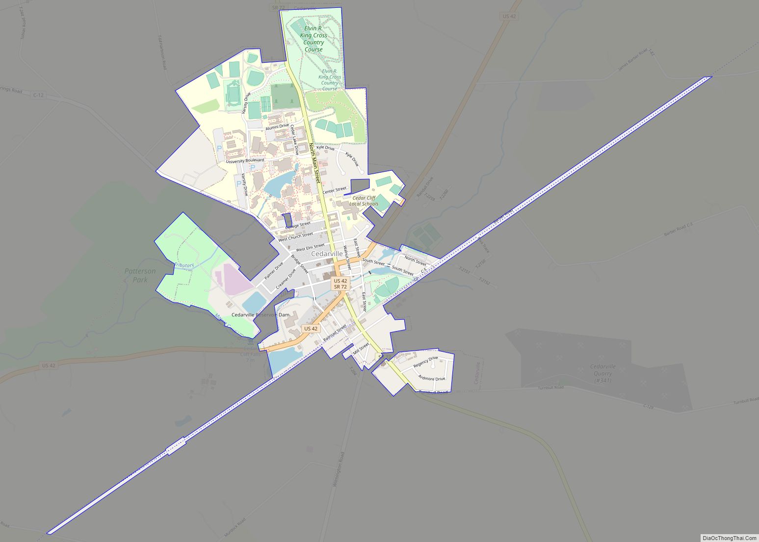
Cedarville is a village in Greene County, Ohio, United States. The village is within the Dayton Metropolitan Statistical Area. The population was 4,019 at the 2010 census.
| Name: | Cedarville village |
|---|---|
| LSAD Code: | 47 |
| LSAD Description: | village (suffix) |
| State: | Ohio |
| County: | Greene County |
| Elevation: | 1,050 ft (320 m) |
| Total Area: | 1.35 sq mi (3.51 km²) |
| Land Area: | 1.31 sq mi (3.39 km²) |
| Water Area: | 0.04 sq mi (0.12 km²) |
| Total Population: | 4,257 |
| Population Density: | 3,252.10/sq mi (1,255.79/km²) |
| ZIP code: | 45314 |
| Area code: | 937, 326 |
| FIPS code: | 3912784 |
| GNISfeature ID: | 1056780 |
| Website: | cedarville.us |
Online Interactive Map
Click on ![]() to view map in "full screen" mode.
to view map in "full screen" mode.
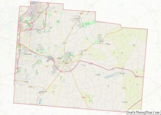
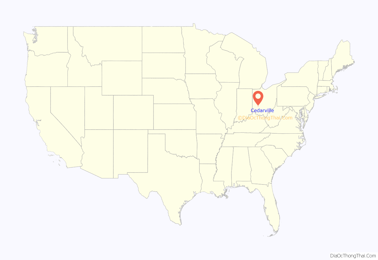
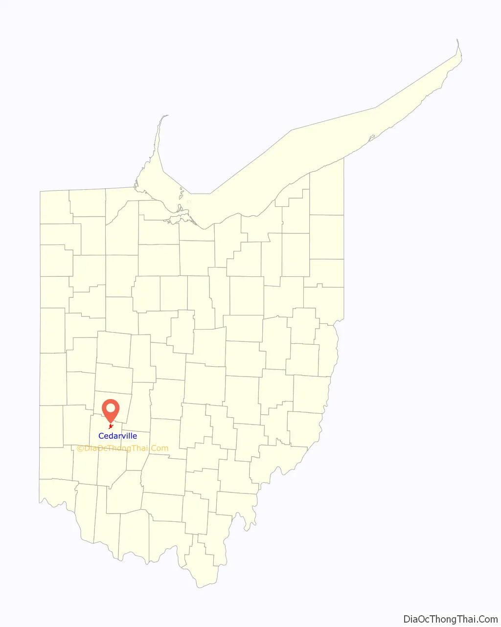
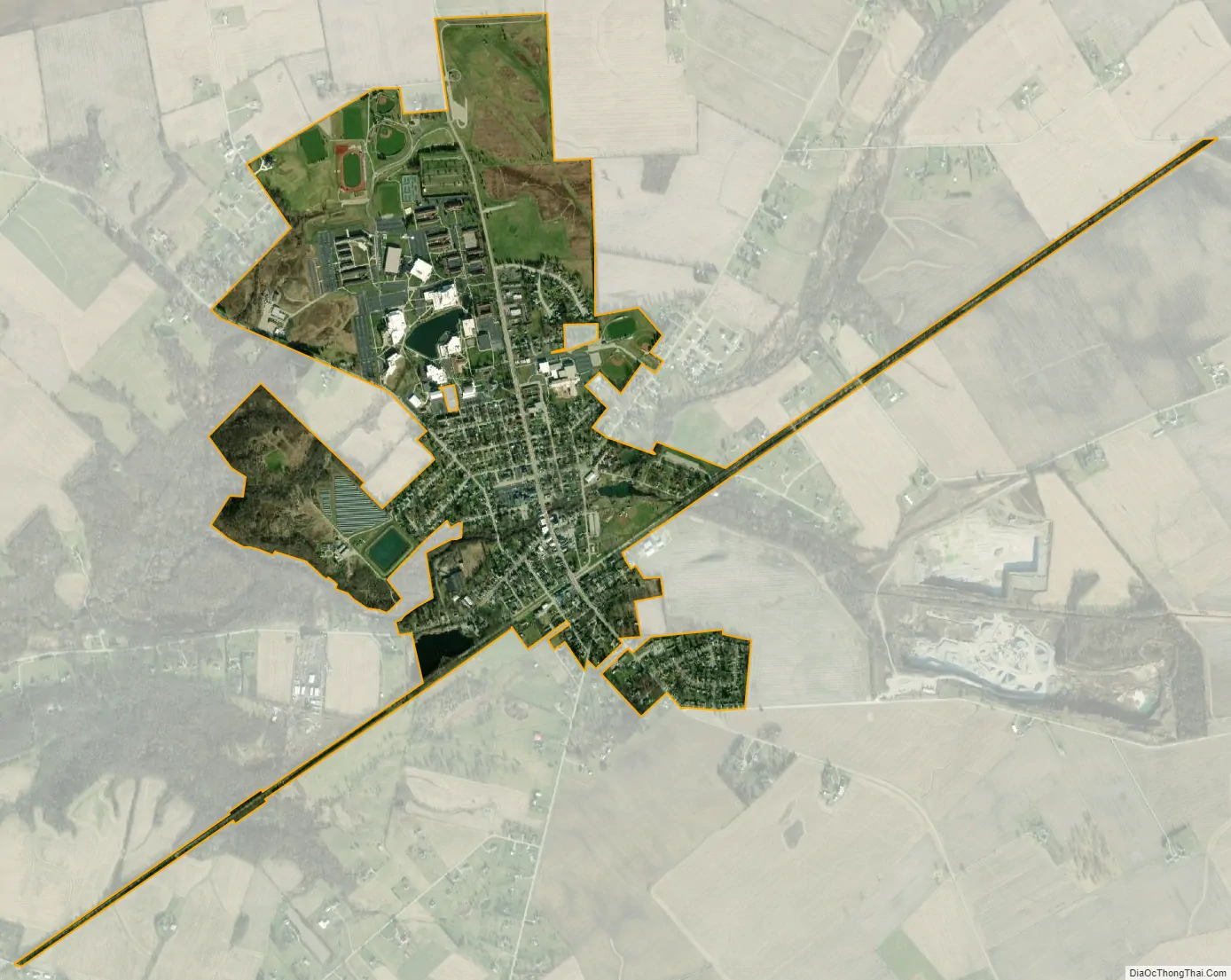
Cedarville location map. Where is Cedarville village?
History
Cedarville was originally known as Milford, and under the latter name was platted in 1816. A post office called Massies Creek was established in 1837, and the name was changed to Cedarville in 1843. The present name is for cedar trees near the original town site.
For many years beginning in the 1880s, public life in Cedarville centered around the downtown Cedarville Opera House; it survives to the present day, and is listed on the National Register of Historic Places.
Cedarville Road Map
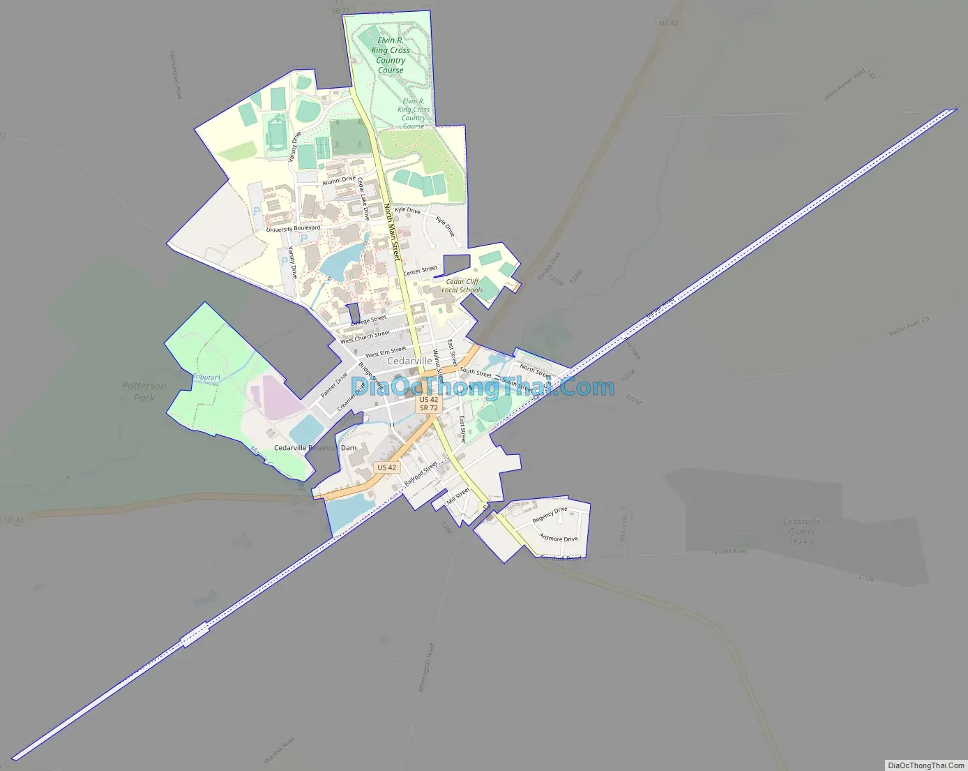
Cedarville city Satellite Map
Geography
Cedarville is located at 39°44′34″N 83°48′26″W / 39.74278°N 83.80722°W / 39.74278; -83.80722 (39.742796, -83.807084). According to the United States Census Bureau, the village has a total area of 1.32 square miles (3.42 km), of which 1.28 square miles (3.32 km) is land and 0.04 square miles (0.10 km) is water.
See also
Map of Ohio State and its subdivision:- Adams
- Allen
- Ashland
- Ashtabula
- Athens
- Auglaize
- Belmont
- Brown
- Butler
- Carroll
- Champaign
- Clark
- Clermont
- Clinton
- Columbiana
- Coshocton
- Crawford
- Cuyahoga
- Darke
- Defiance
- Delaware
- Erie
- Fairfield
- Fayette
- Franklin
- Fulton
- Gallia
- Geauga
- Greene
- Guernsey
- Hamilton
- Hancock
- Hardin
- Harrison
- Henry
- Highland
- Hocking
- Holmes
- Huron
- Jackson
- Jefferson
- Knox
- Lake
- Lake Erie
- Lawrence
- Licking
- Logan
- Lorain
- Lucas
- Madison
- Mahoning
- Marion
- Medina
- Meigs
- Mercer
- Miami
- Monroe
- Montgomery
- Morgan
- Morrow
- Muskingum
- Noble
- Ottawa
- Paulding
- Perry
- Pickaway
- Pike
- Portage
- Preble
- Putnam
- Richland
- Ross
- Sandusky
- Scioto
- Seneca
- Shelby
- Stark
- Summit
- Trumbull
- Tuscarawas
- Union
- Van Wert
- Vinton
- Warren
- Washington
- Wayne
- Williams
- Wood
- Wyandot
- Alabama
- Alaska
- Arizona
- Arkansas
- California
- Colorado
- Connecticut
- Delaware
- District of Columbia
- Florida
- Georgia
- Hawaii
- Idaho
- Illinois
- Indiana
- Iowa
- Kansas
- Kentucky
- Louisiana
- Maine
- Maryland
- Massachusetts
- Michigan
- Minnesota
- Mississippi
- Missouri
- Montana
- Nebraska
- Nevada
- New Hampshire
- New Jersey
- New Mexico
- New York
- North Carolina
- North Dakota
- Ohio
- Oklahoma
- Oregon
- Pennsylvania
- Rhode Island
- South Carolina
- South Dakota
- Tennessee
- Texas
- Utah
- Vermont
- Virginia
- Washington
- West Virginia
- Wisconsin
- Wyoming