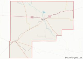
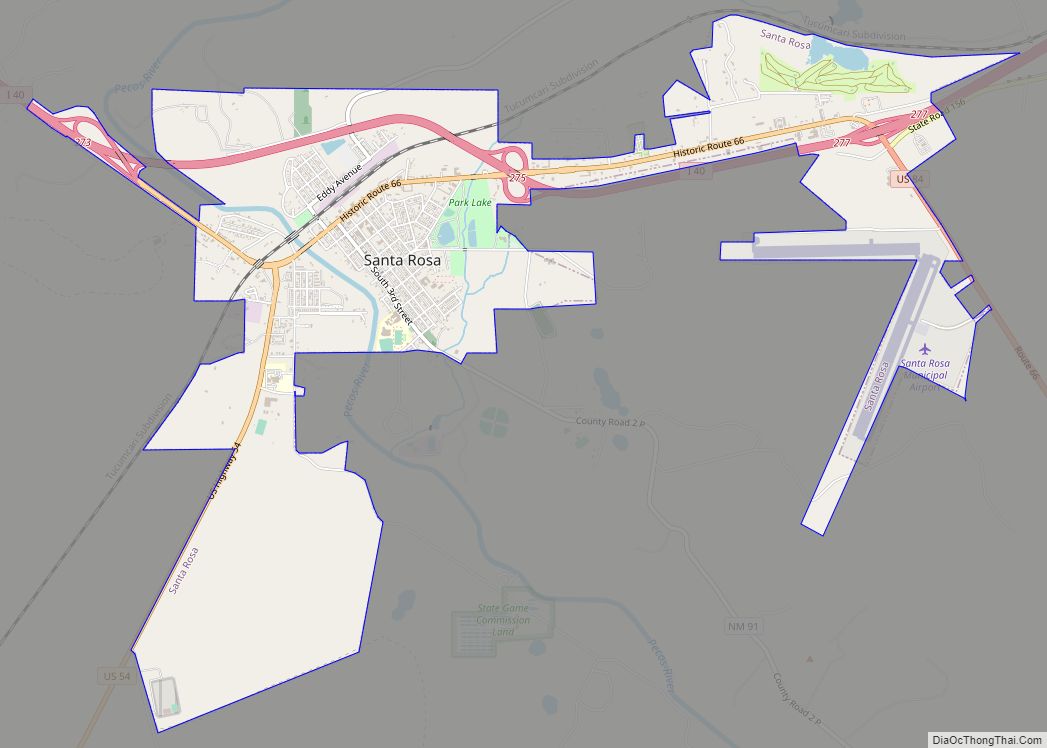
Santa Rosa is a city in and the county seat of Guadalupe County, New Mexico, United States. The population was 2,848 at the 2010 census. It lies between Albuquerque and Tucumcari, situated on the Pecos River at the intersection of Interstate 40 and U.S. Route 54 and 84. The city is located on the western edge of the Llano Estacado or “staked plains” of eastern New Mexico and west Texas.
| Name: | Santa Rosa city |
|---|---|
| LSAD Code: | 25 |
| LSAD Description: | city (suffix) |
| State: | New Mexico |
| County: | Guadalupe County |
| Elevation: | 4,616 ft (1,407 m) |
| Total Area: | 5.02 sq mi (13.01 km²) |
| Land Area: | 5.00 sq mi (12.95 km²) |
| Water Area: | 0.03 sq mi (0.06 km²) |
| Total Population: | 2,850 |
| Population Density: | 570.11/sq mi (220.13/km²) |
| ZIP code: | 88435 |
| Area code: | 575 |
| FIPS code: | 3570670 |
| GNISfeature ID: | 0918353 |
| Website: | santarosanm.org |
Online Interactive Map
Click on ![]() to view map in "full screen" mode.
to view map in "full screen" mode.
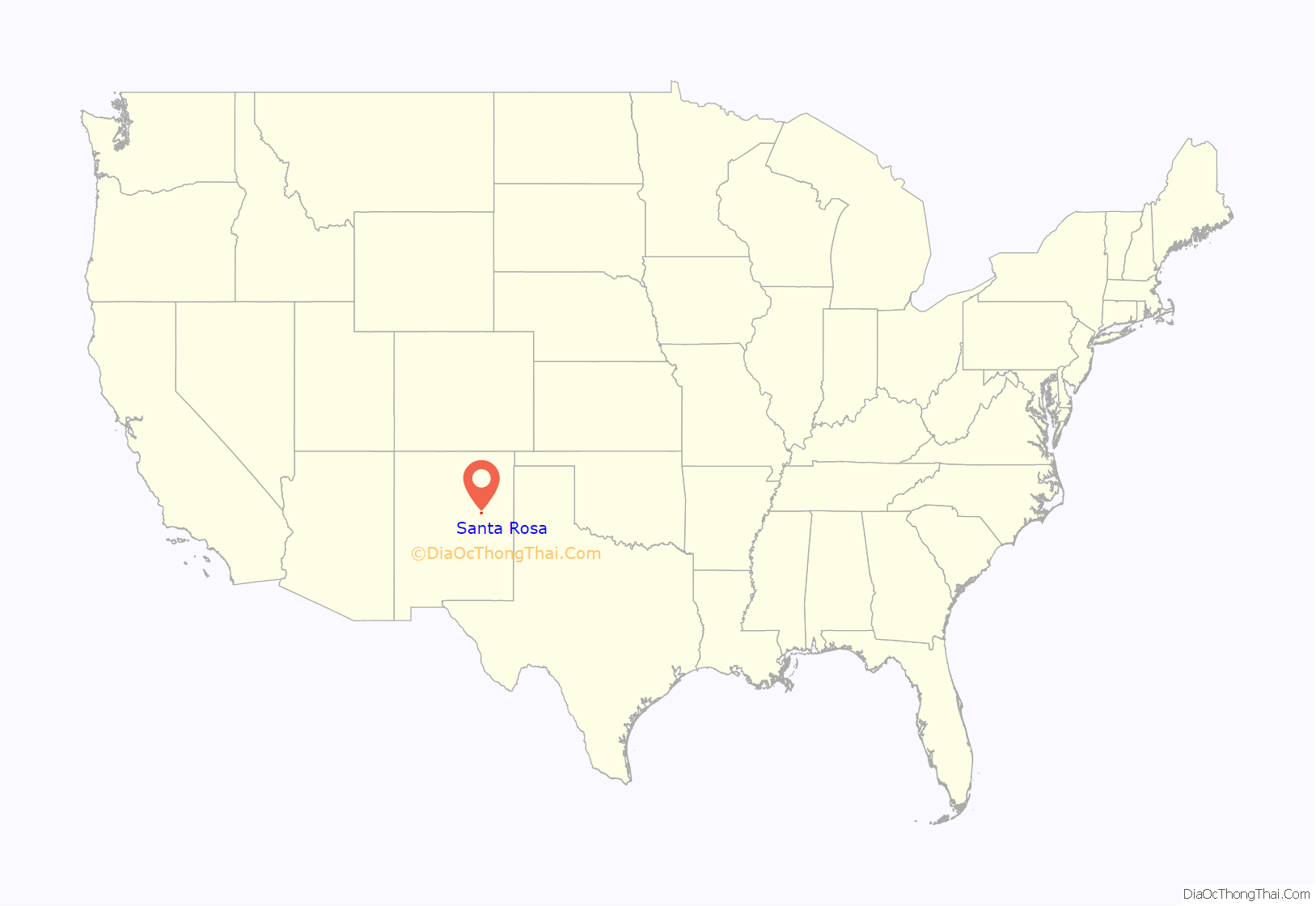
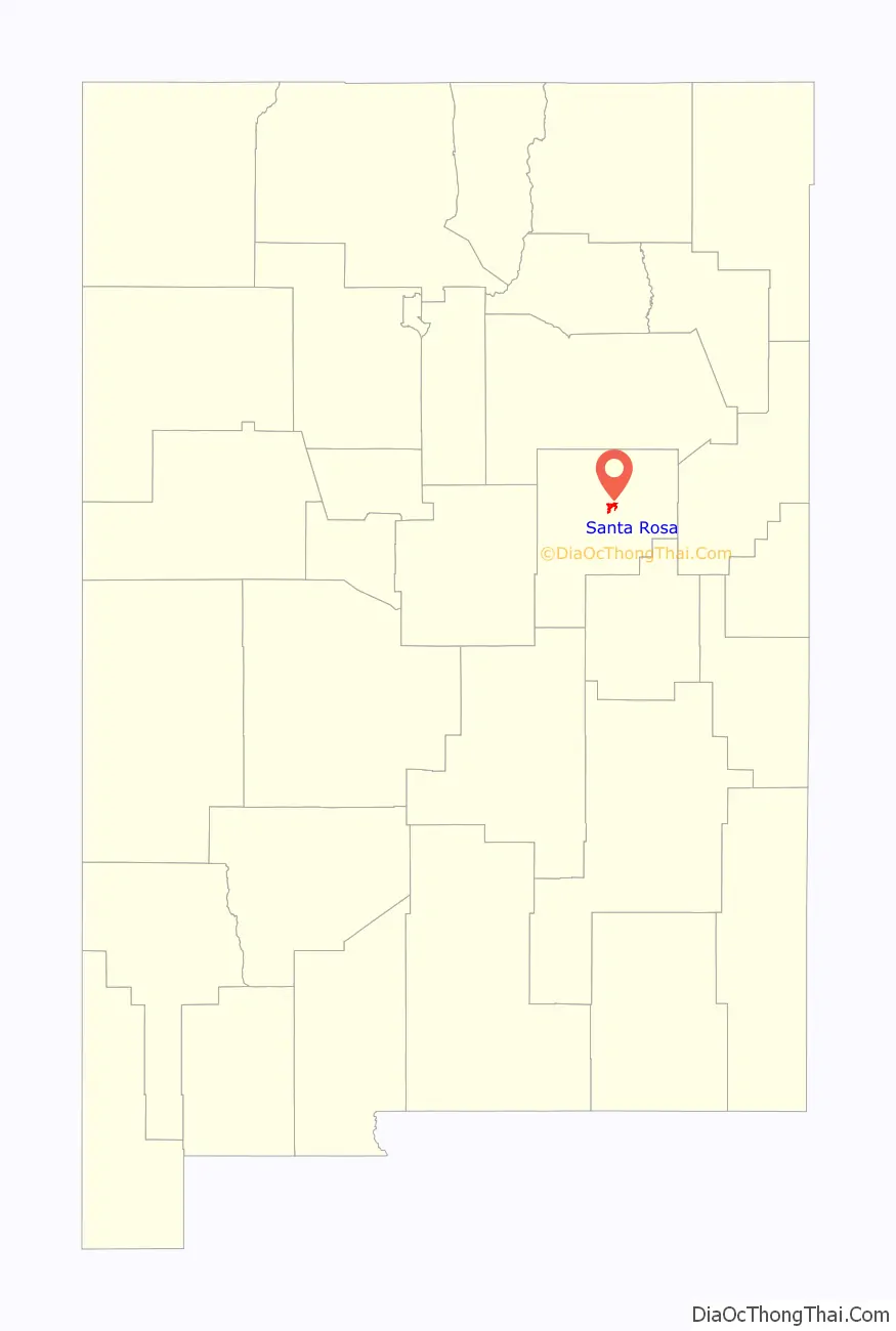
Santa Rosa location map. Where is Santa Rosa city?
History
The first Euro-American settlement in the area was Agua Negra Chiquita, “Little Black Water” in Spanish, in 1865. The name was changed in 1890 to Santa Rosa (Spanish for “Saint Rose”), referring to a chapel that Don Celso Baca (the founder of the city) built and named after both his mother Rosa and Saint Rose of Lima. The “Rosa” may also refer to the roses in the story of Our Lady of Guadalupe and is indicative of the Catholicism of the Spanish colonizers who settled in the area.
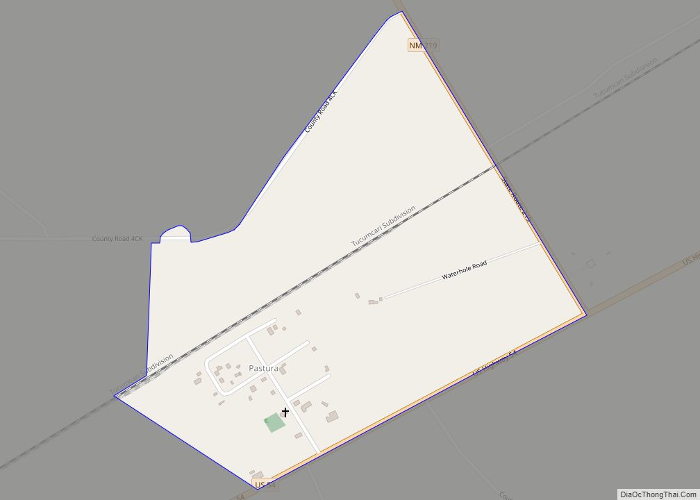
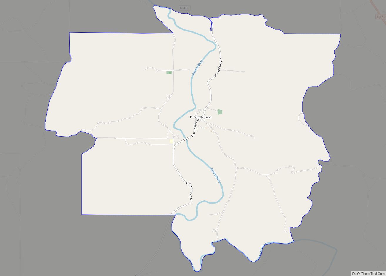
At the turn of the twentieth century, Santa Rosa was not the largest settlement within the region. Puerto de Luna, approximately ten miles south, held the county seat for Guadalupe County. Santa Rosa was smaller than Puerto de Luna until 1901 when the Chicago, Rock Island & Pacific Railroad was built into Santa Rosa from the east, quickly followed by arrival of the El Paso and Northeastern Railway in February 1902, from the southwest, thereby creating a transcontinental connection. As the terminus and interchange point of the two railroads, a thriving community quickly developed (The interchange was moved to Tucumcari after 1907). The county seat was moved to Santa Rosa from PDL in 1903.
The east-west highway through the town was designated as U.S. Route 66 in 1926, and the increase in traffic made the community a popular rest stop with motels and cafes. Santa Rosa’s stretch of Route 66 is part of film history. When John Steinbeck’s epic novel, The Grapes of Wrath, was made into a movie, director John Ford used Santa Rosa for the memorable train scene. Tom Joad (Henry Fonda) watches a freight train steam over the Pecos River railroad bridge, into the sunset. It was also one of the shooting scenes for Bobbie Jo and the Outlaw starring Lynda Carter in the role of Bobbi Jo.
Santa Rosa was the childhood home of author Rudolfo Anaya, and is the basis for the fictional town of Guadalupe in his autobiographical novel Bless Me, Ultima.
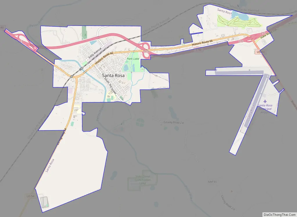
Santa Rosa Road Map
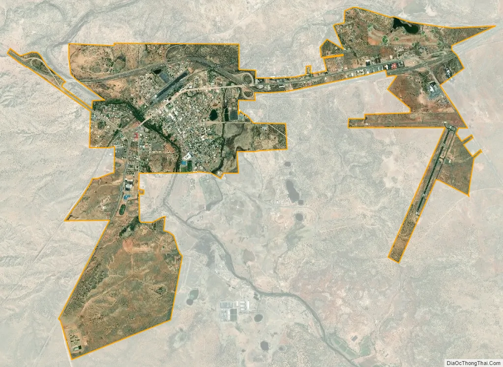
Santa Rosa city Satellite Map
Geography
Santa Rosa has many natural lakes, an anomaly in the dry desert climate surrounding it. These are sinkholes that form in the limestone bedrock of the area and fill with water, and thus the lakes are connected by a network of underground, water-filled tunnels. The most famous of these is Blue Hole, a popular spot for diving, where cool 61 °F (16 °C) water forms a lake over 81 feet (25 m) deep.
Santa Rosa is located near the center of Guadalupe County at 34°56′32″N 104°41′2″W / 34.94222°N 104.68389°W / 34.94222; -104.68389 (34.942166, -104.683981).
According to the United States Census Bureau, the city has a total area of 5.0 square miles (12.9 km), of which 0.03 square miles (0.07 km), or 0.52%, is water.
Climate
Santa Rosa experiences a semi-arid climate (Köppen climate classification BSk).
See also
Map of New Mexico State and its subdivision: Map of other states:- Alabama
- Alaska
- Arizona
- Arkansas
- California
- Colorado
- Connecticut
- Delaware
- District of Columbia
- Florida
- Georgia
- Hawaii
- Idaho
- Illinois
- Indiana
- Iowa
- Kansas
- Kentucky
- Louisiana
- Maine
- Maryland
- Massachusetts
- Michigan
- Minnesota
- Mississippi
- Missouri
- Montana
- Nebraska
- Nevada
- New Hampshire
- New Jersey
- New Mexico
- New York
- North Carolina
- North Dakota
- Ohio
- Oklahoma
- Oregon
- Pennsylvania
- Rhode Island
- South Carolina
- South Dakota
- Tennessee
- Texas
- Utah
- Vermont
- Virginia
- Washington
- West Virginia
- Wisconsin
- Wyoming