Hamilton County is a county located in the U.S. state of Illinois. At the 2020 census, its population was 7,993. Its county seat is McLeansboro. It is located in the southern portion of the state known locally as “Little Egypt”.
| Name: | Hamilton County |
|---|---|
| FIPS code: | 17-065 |
| State: | Illinois |
| Founded: | 1821 |
| Named for: | Alexander Hamilton |
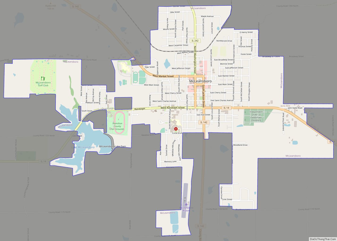
| Seat: | McLeansboro |
| Largest city: | McLeansboro |
| Total Area: | 436 sq mi (1,130 km²) |
| Land Area: | 435 sq mi (1,130 km²) |
| Total Population: | 7,993 |
| Population Density: | 18/sq mi (7.1/km²) |
| Time zone: | UTC−6 (Central) |
| Summer Time Zone (DST): | UTC−5 (CDT) |
| Website: | www.hamiltoncountyillinois.com |
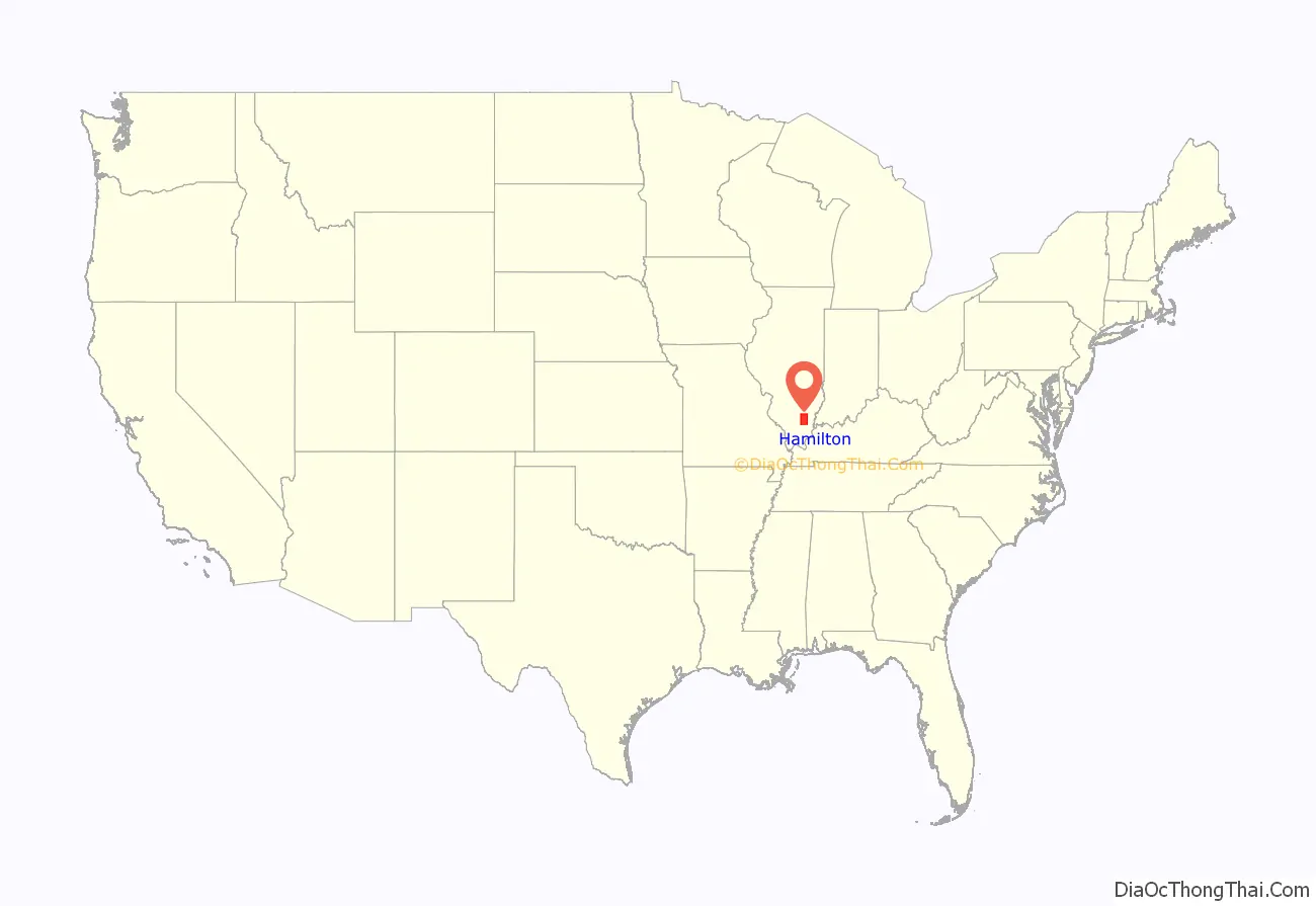
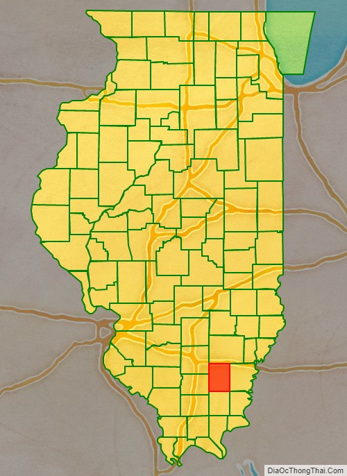
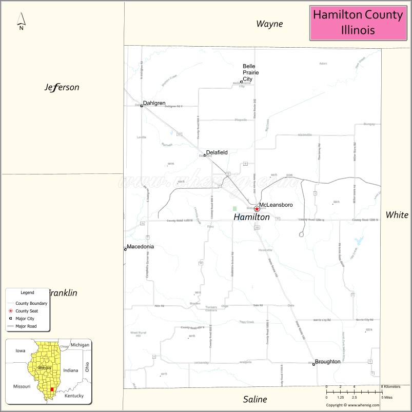
Hamilton County location map. Where is Hamilton County?
History
Hamilton County was formed out of White County in 1821. It is named for Alexander Hamilton, Revolutionary War hero and the first United States Secretary of the Treasury.
Hamilton County at the time of its creation in 1821
On March 18, 1925, the infamous Tri-State Tornado tore across the county, destroying dozens of homes and farms in Flannigan, Twigg, Mayberry and Crook townships, and killing 37 people.
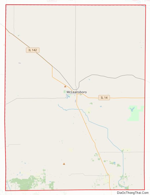
Hamilton County Road Map
Geography
According to the U.S. Census Bureau, the county has a total area of 436 square miles (1,130 km), of which 435 square miles (1,130 km) is land and 1.2 square miles (3.1 km) (0.3%) is water.
Climate and weather
In recent years, average temperatures in the county seat of McLeansboro have ranged from a low of 20 °F (−7 °C) in January to a high of 89 °F (32 °C) in July, although a record low of −23 °F (−31 °C) was recorded in January 1930 and a record high of 113 °F (45 °C) was recorded in July 1936. Average monthly precipitation ranged from 2.76 inches (70 mm) in February to 4.67 inches (119 mm) in May.
Major highways
- Illinois Route 14
- Illinois Route 142
- Illinois Route 242
Adjacent counties
- Wayne County – north
- White County – east
- Gallatin County – southeast
- Saline County – south
- Franklin County – west
- Jefferson County – northwest
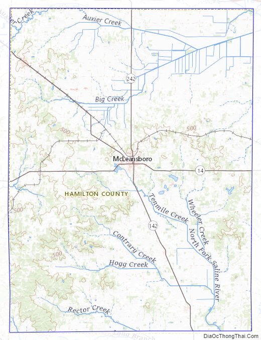
Hamilton County Topographic Map
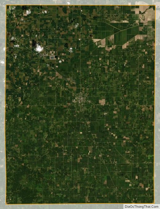
Hamilton County Satellite Map
Hamilton County Outline Map