McLeansboro (/məkˈleɪnzbəroʊ/) is a city in Hamilton County, Illinois, United States. The population was 2,675 at the 2020 census. The estimated population as of 2018 was 2,773. It is the county seat of Hamilton County.
McLeansboro is part of the Mount Vernon, Illinois micropolitan area.
| Name: | McLeansboro city |
|---|---|
| LSAD Code: | 25 |
| LSAD Description: | city (suffix) |
| State: | Illinois |
| County: | Hamilton County |
| Elevation: | 453 ft (138 m) |
| Total Area: | 2.87 sq mi (7.45 km²) |
| Land Area: | 2.74 sq mi (7.11 km²) |
| Water Area: | 0.13 sq mi (0.34 km²) |
| Total Population: | 2,675 |
| Population Density: | 974.85/sq mi (376.37/km²) |
| Area code: | 618 |
| FIPS code: | 1745824 |
| GNISfeature ID: | 2395074 |
| Website: | mcleansboro.us |
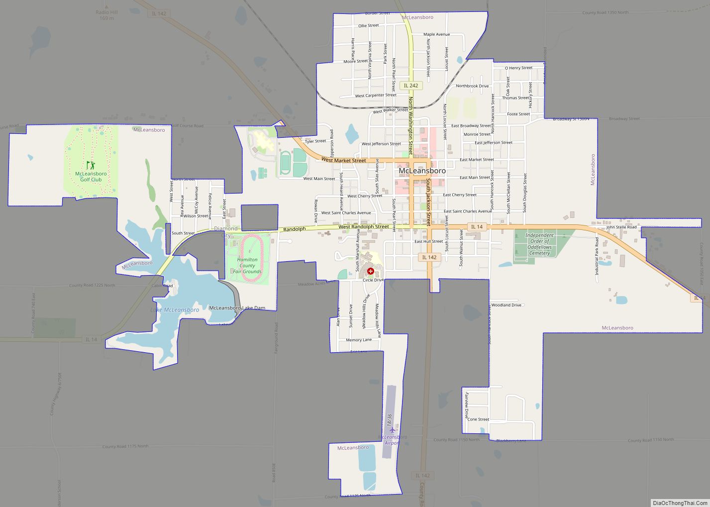
Online Interactive Map
Click on ![]() to view map in "full screen" mode.
to view map in "full screen" mode.
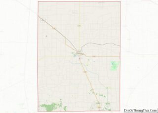
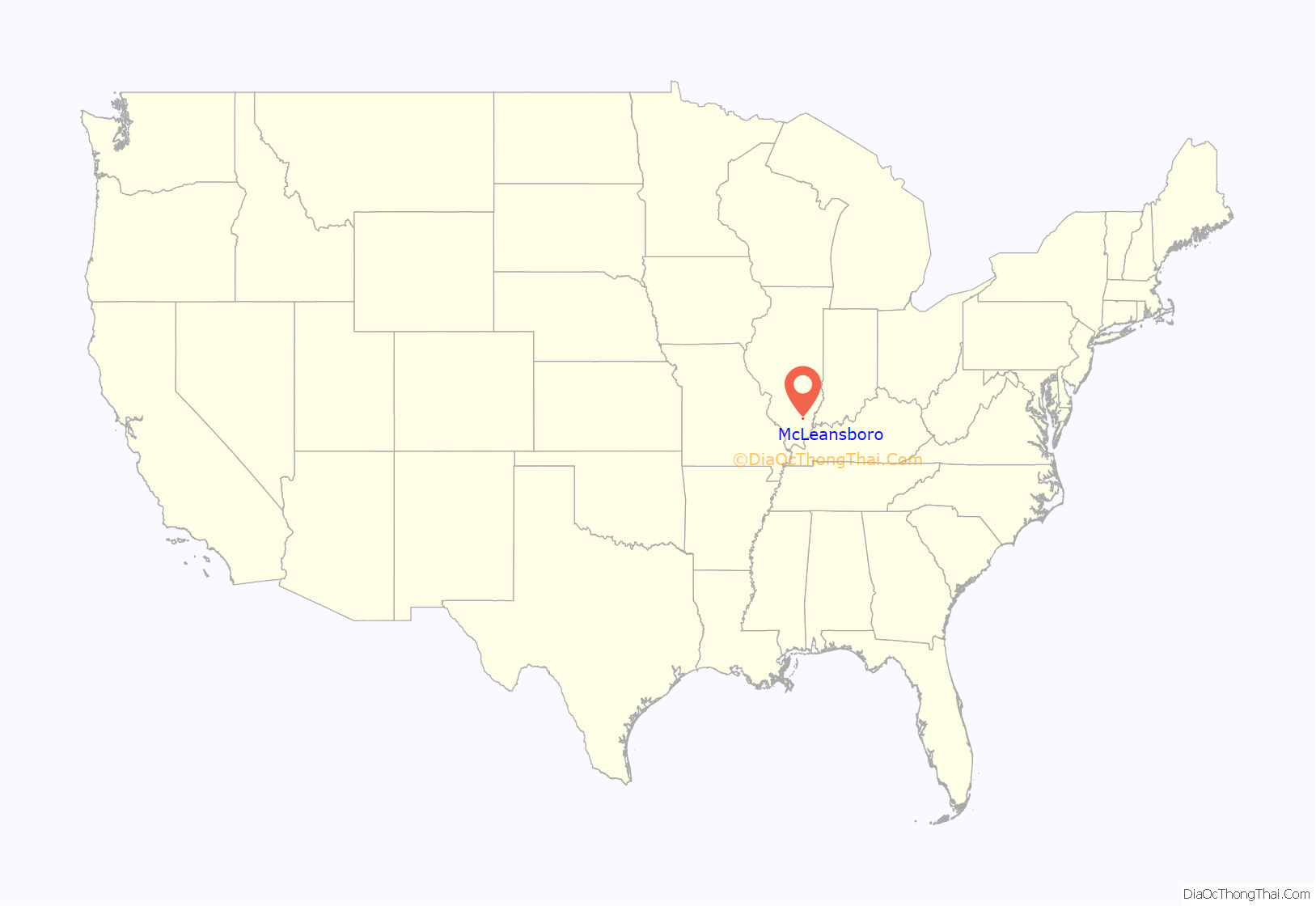
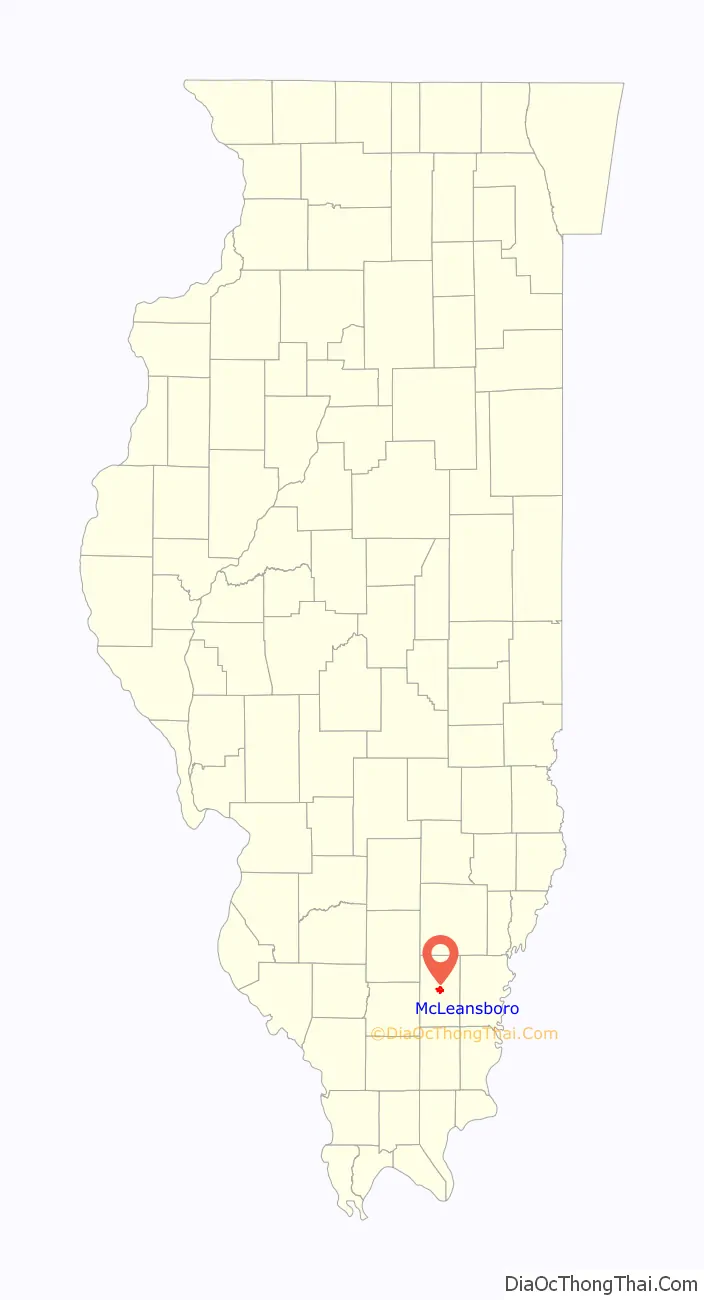
McLeansboro location map. Where is McLeansboro city?
History
The city was named for Dr. William McLean, an early settler who had resided there in 1821.
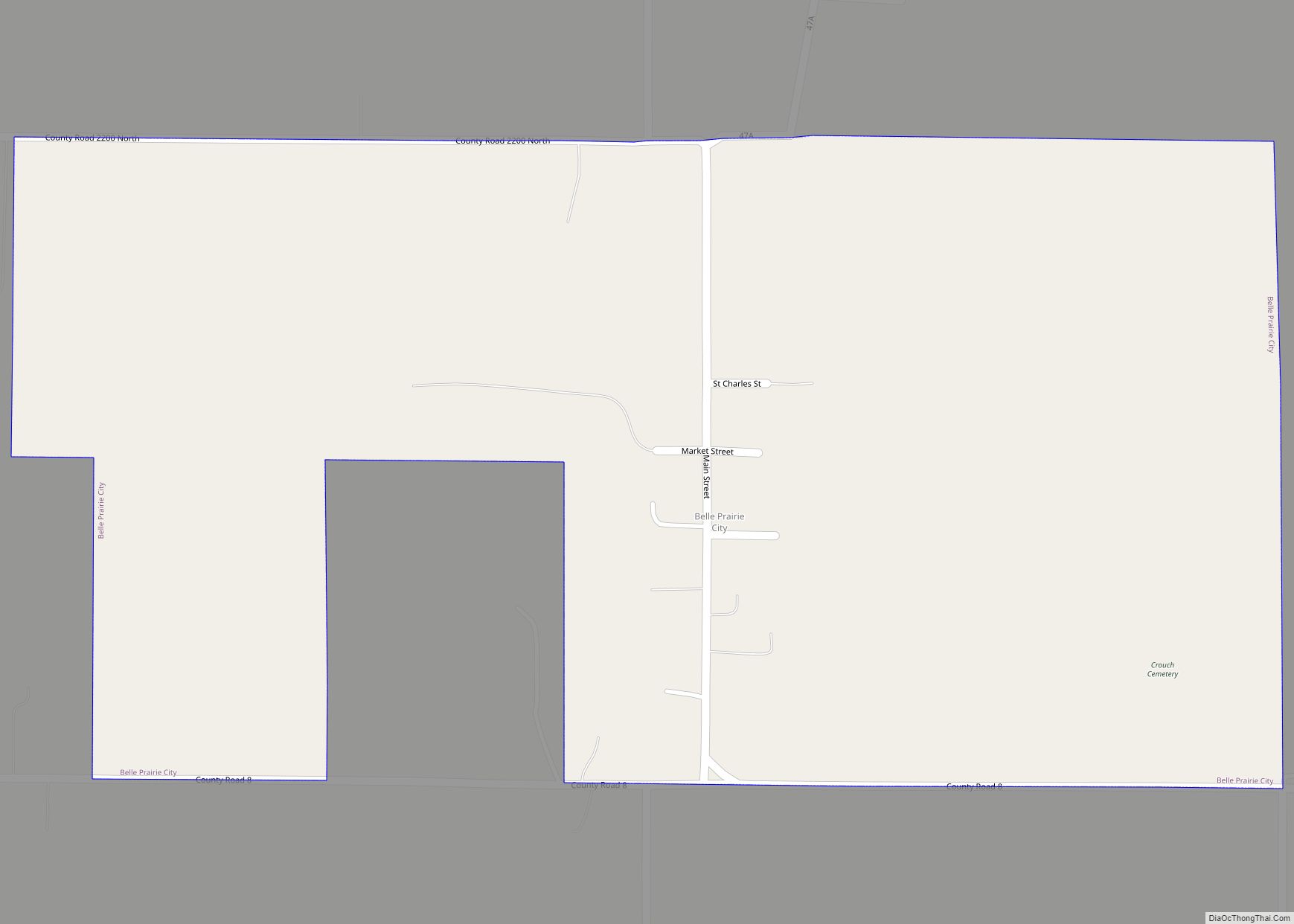
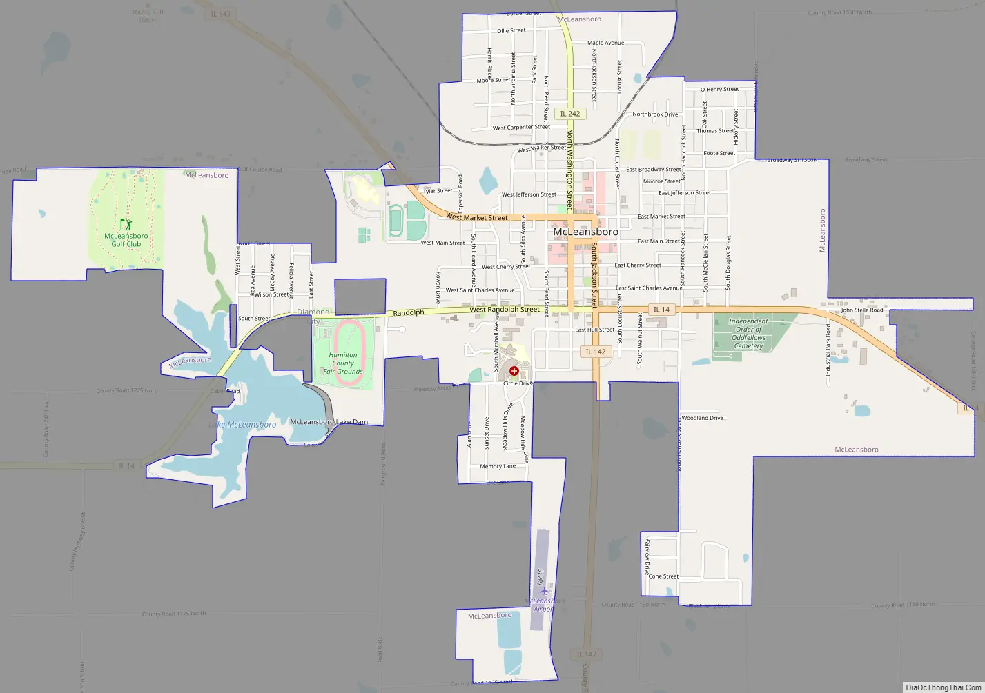
McLeansboro Road Map
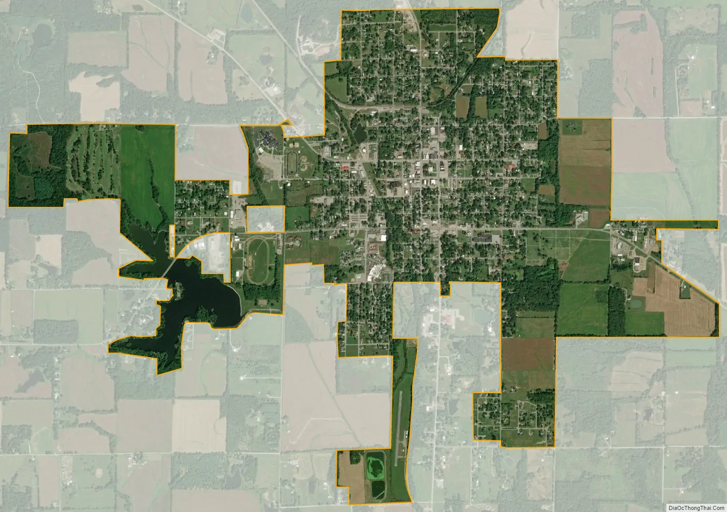
McLeansboro city Satellite Map
Geography
According to the 2010 census, McLeansboro has a total area of 2.741 square miles (7.10 km), of which 2.61 square miles (6.76 km) (or 95.22%) is land and 0.131 square miles (0.34 km) (or 4.78%) is water.
See also
Map of Illinois State and its subdivision:- Adams
- Alexander
- Bond
- Boone
- Brown
- Bureau
- Calhoun
- Carroll
- Cass
- Champaign
- Christian
- Clark
- Clay
- Clinton
- Coles
- Cook
- Crawford
- Cumberland
- De Kalb
- De Witt
- Douglas
- Dupage
- Edgar
- Edwards
- Effingham
- Fayette
- Ford
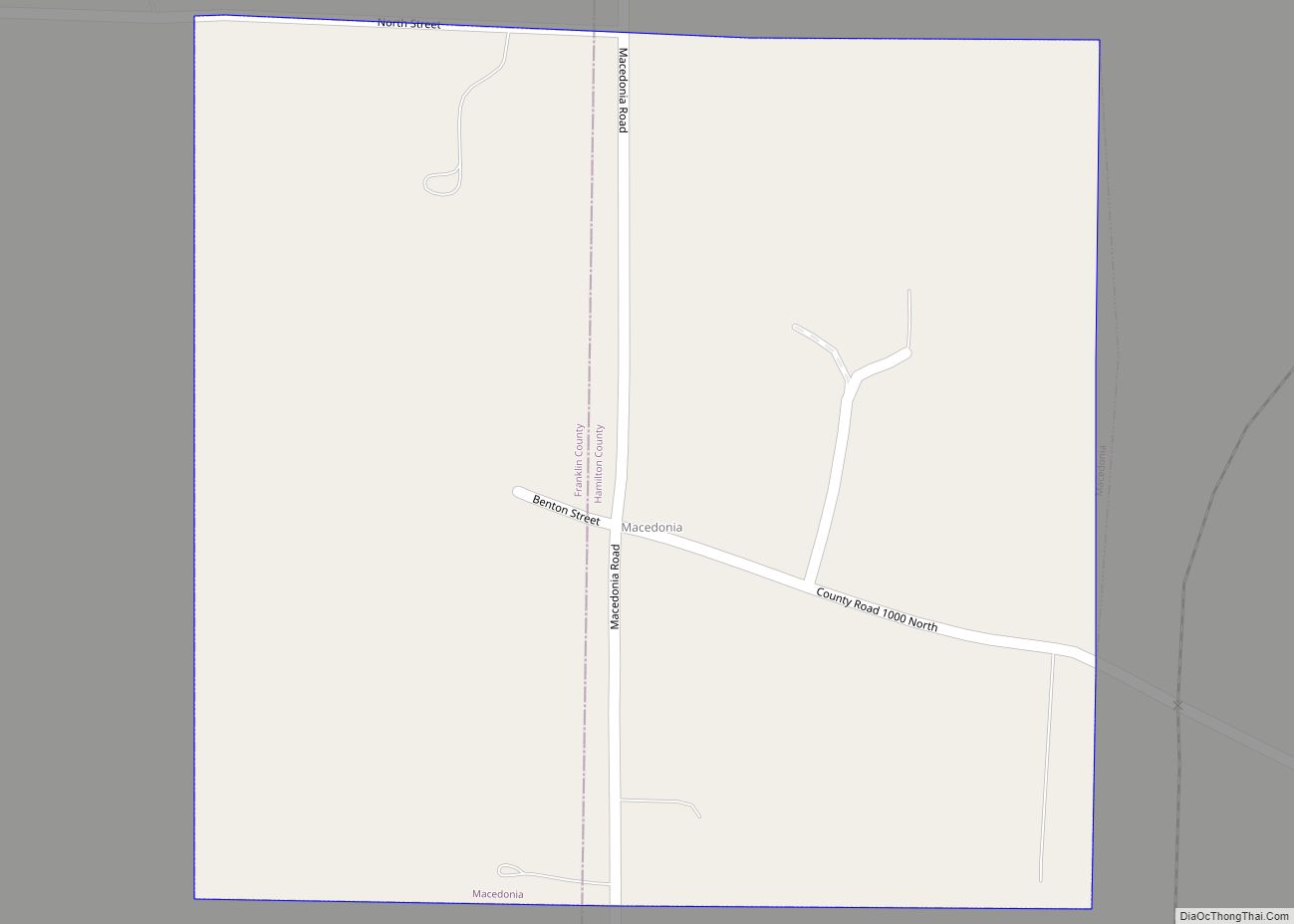
- Franklin
- Fulton
- Gallatin
- Greene
- Grundy
- Hamilton
- Hancock
- Hardin
- Henderson
- Henry
- Iroquois
- Jackson
- Jasper
- Jefferson
- Jersey
- Jo Daviess
- Johnson
- Kane
- Kankakee
- Kendall
- Knox
- La Salle
- Lake
- Lake Michigan
- Lawrence
- Lee
- Livingston
- Logan
- Macon
- Macoupin
- Madison
- Marion
- Marshall
- Mason
- Massac
- McDonough
- McHenry
- McLean
- Menard
- Mercer
- Monroe
- Montgomery
- Morgan
- Moultrie
- Ogle
- Peoria
- Perry
- Piatt
- Pike
- Pope
- Pulaski
- Putnam
- Randolph
- Richland
- Rock Island
- Saint Clair
- Saline
- Sangamon
- Schuyler
- Scott
- Shelby
- Stark
- Stephenson
- Tazewell
- Union
- Vermilion
- Wabash
- Warren
- Washington
- Wayne
- White
- Whiteside
- Will
- Williamson
- Winnebago
- Woodford
- Alabama
- Alaska
- Arizona
- Arkansas
- California
- Colorado
- Connecticut
- Delaware
- District of Columbia
- Florida
- Georgia
- Hawaii
- Idaho
- Illinois
- Indiana
- Iowa
- Kansas
- Kentucky
- Louisiana
- Maine
- Maryland
- Massachusetts
- Michigan
- Minnesota
- Mississippi
- Missouri
- Montana
- Nebraska
- Nevada
- New Hampshire
- New Jersey
- New Mexico
- New York
- North Carolina
- North Dakota
- Ohio
- Oklahoma
- Oregon
- Pennsylvania
- Rhode Island
- South Carolina
- South Dakota
- Tennessee
- Texas
- Utah
- Vermont
- Virginia
- Washington
- West Virginia
- Wisconsin
- Wyoming