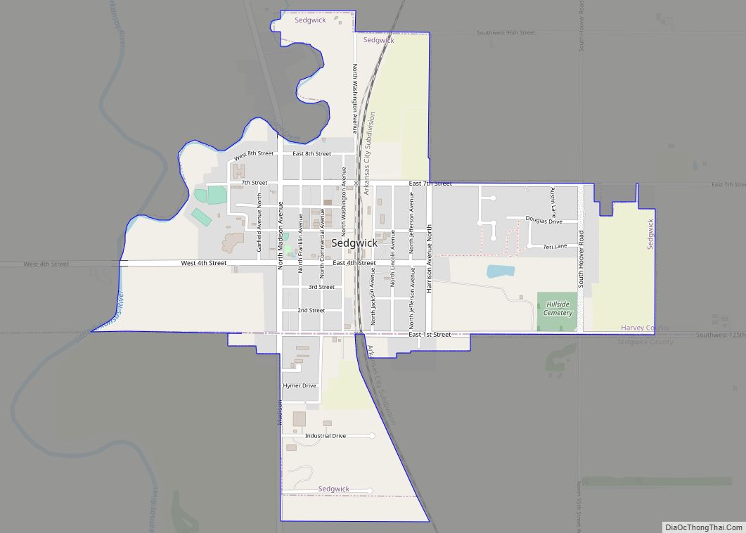
Harvey County (county code HV) is a county located in the U.S. state of Kansas. As of the 2020 census, the county population was 34,024. Its county seat and most populous city is Newton.
| Name: | Harvey County |
|---|---|
| FIPS code: | 20-079 |
| State: | Kansas |
| Founded: | March 7, 1872 |
| Named for: | James Harvey |
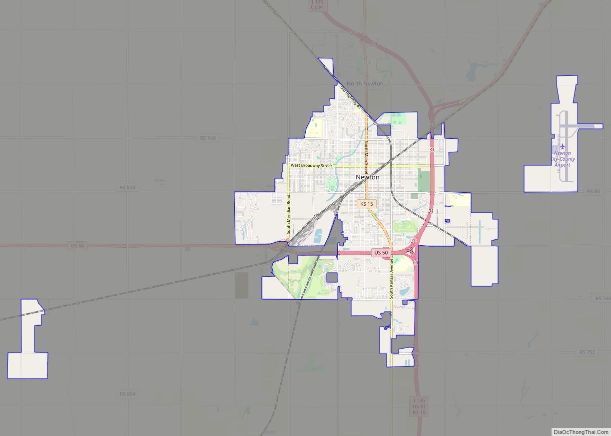
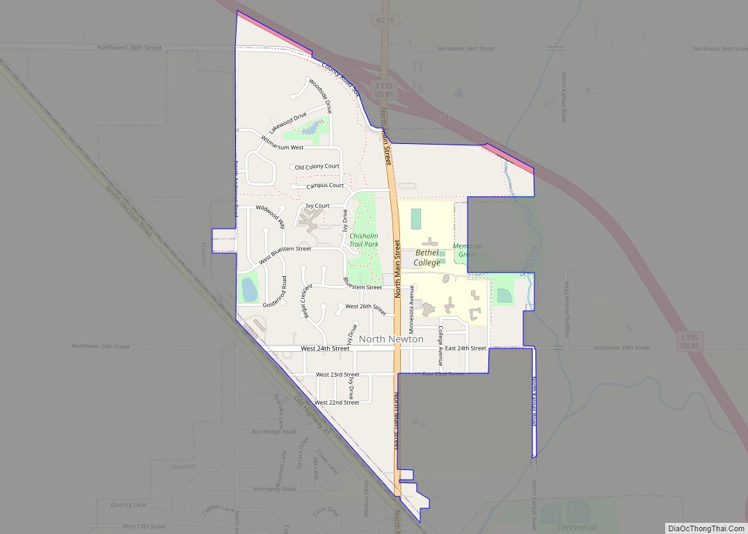
| Seat: | Newton |
| Largest city: | Newton |
| Total Area: | 541 sq mi (1,400 km²) |
| Land Area: | 540 sq mi (1,400 km²) |
| Total Population: | 34,024 |
| Population Density: | 63.0/sq mi (24.3/km²) |
| Time zone: | UTC−6 (Central) |
| Summer Time Zone (DST): | UTC−5 (CDT) |
| Website: | harveycounty.com |
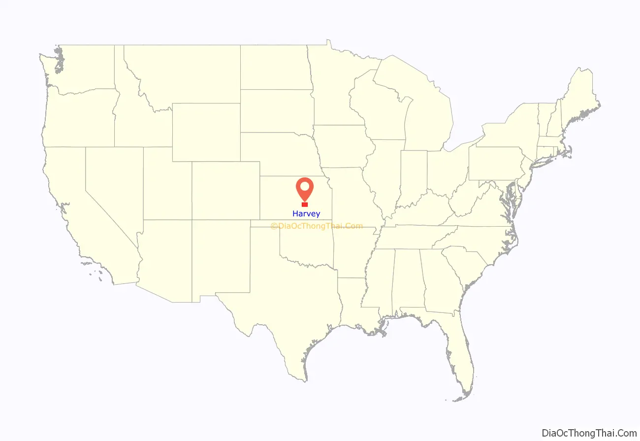
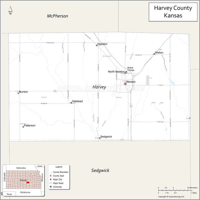
Harvey County location map. Where is Harvey County?
History
In 1854, the Kansas Territory was organized, then in 1861 Kansas became the 34th U.S. state.
In 1871, the Atchison, Topeka and Santa Fe Railway extended a main line from Emporia to Newton.
In 1872, Harvey County was founded, and named in honor of the fifth Governor of Kansas James M. Harvey.
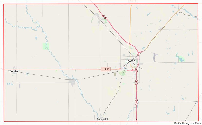
Harvey County Road Map
Geography
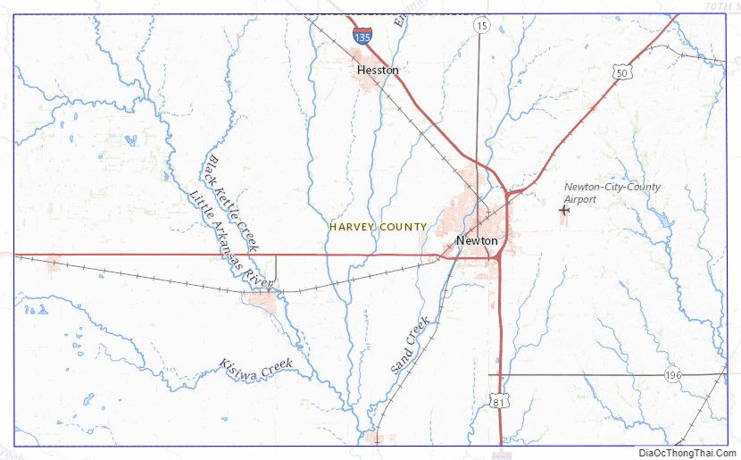
According to the U.S. Census Bureau, the county has a total area of 541 square miles (1,400 km), of which 540 square miles (1,400 km) is land and 1.0 square mile (2.6 km) (0.2%) is water. The Little Arkansas River flows through the county.
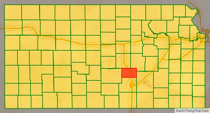
Adjacent counties
- Marion County (northeast)
- Butler County (east)
- Sedgwick County (south)
- Reno County (west)
- McPherson County (northwest)
Harvey County Topographic Map
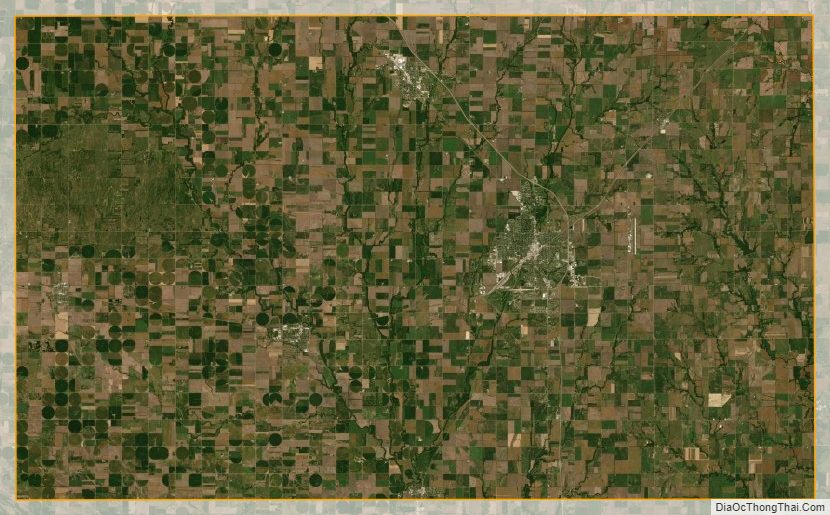
Harvey County Satellite Map
Harvey County Outline Map