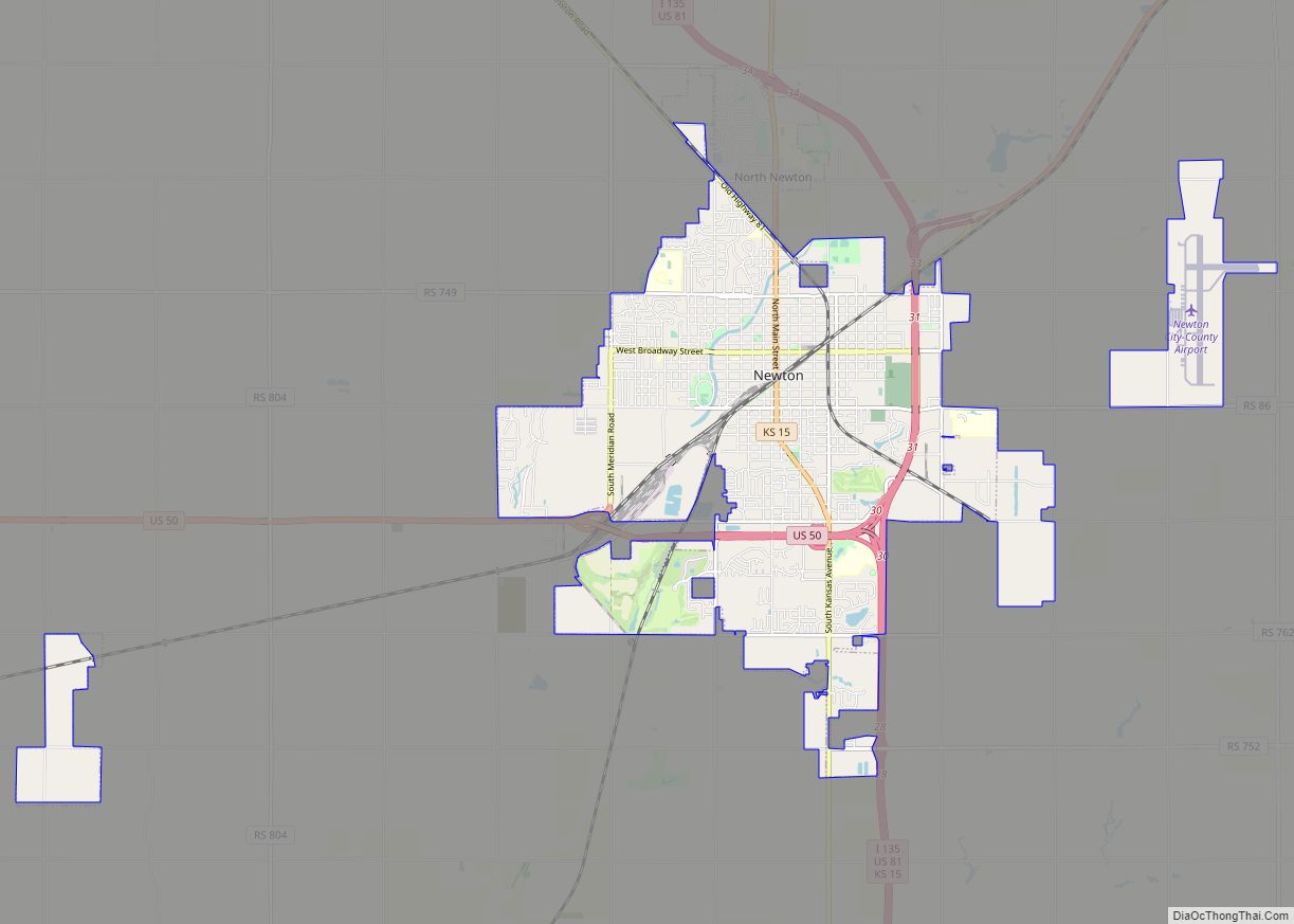
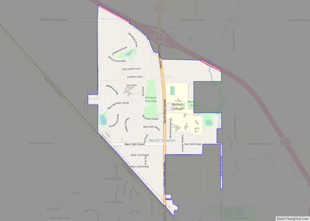
Newton is a city in and the county seat of Harvey County, Kansas, United States. As of the 2020 census, the population of the city was 18,602. Newton is located 25 miles (40 km) north of Wichita. The city of North Newton is located immediately north and exists as a separate political entity. Newton is located at the intersection of Interstate 135, U.S. Route 50, and U.S. Route 81 highways.
| Name: | Newton city |
|---|---|
| LSAD Code: | 25 |
| LSAD Description: | city (suffix) |
| State: | Kansas |
| County: | Harvey County |
| Founded: | 1871 |
| Incorporated: | 1872, 1880 |
| Elevation: | 1,447 ft (441 m) |
| Total Area: | 14.57 sq mi (37.73 km²) |
| Land Area: | 14.57 sq mi (37.73 km²) |
| Water Area: | 0.00 sq mi (0.00 km²) |
| Total Population: | 18,602 |
| Population Density: | 1,300/sq mi (490/km²) |
| ZIP code: | 67114 |
| Area code: | 316 |
| FIPS code: | 2050475 |
| Website: | newtonkansas.com |
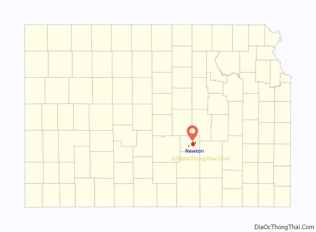
Online Interactive Map
Click on ![]() to view map in "full screen" mode.
to view map in "full screen" mode.
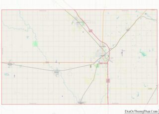
Newton location map. Where is Newton city?

History
19th century
For millennia, the land now known as Kansas was inhabited by Native Americans. In 1803, most of modern Kansas was secured by the United States as part of the Louisiana Purchase. In 1854, the Kansas Territory was organized, then in 1861 Kansas became the 34th U.S. state. In 1872, Harvey County was founded.
In 1871, the Atchison, Topeka and Santa Fe Railway extended a main line from Emporia westward to Newton by July 1871. The town soon became an important railroad shipping point of Texas cattle.
The city was founded in 1871 and named after Newton, Massachusetts, home of some of the Santa Fe stockholders.
In August 1871, there was a Gunfight at Hide Park, in which a total of eight men were killed. The incident began with an argument between two local lawmen, Billy Bailey and Mike McCluskie. Because of this incident, Newton became known as “bloody and lawless—the wickedest city in the west.”.
In 1872, the western terminal for the Atchison, Topeka and Santa Fe Railway and the railhead for the Chisholm Trail were established here. Shortly after incorporation of the city in 1872, the Newton city council passed an ordinance prohibiting the running at large of buffalo and other wild animals.
20th century
During World War II, the Newton airport was taken over by the US Navy as a secondary Naval Air Station, and the main runway was extended to over 7,000 feet (2,100 m).
Newton served as the Middle Division dispatching headquarters for the “Santa Fe” until the mid-1980s, when all dispatching for the Chicago to Los Angeles system was centralized in the Chicago area. In 1995, the Santa Fe merged with the Burlington Northern Railroad, and is now known as the BNSF Railway. The BNSF continues to be a large industrial taxpayer although its impact as an employer has decreased in the past decade. Most locals still refer to this railroad as the “Santa Fe”.
21st century
On February 25, 2016, Newton was the site of the first of several related shooting incidents, which culminated in a mass shooting at an Excel Industries building in nearby Hesston that left three people dead and twelve others injured. The shooter, identified as Excel employee Cedric Larry Ford, was then killed by responding police officers.
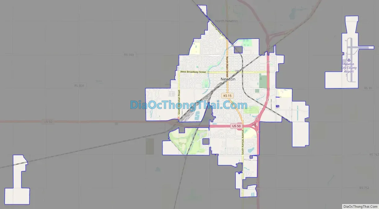
Newton Road Map
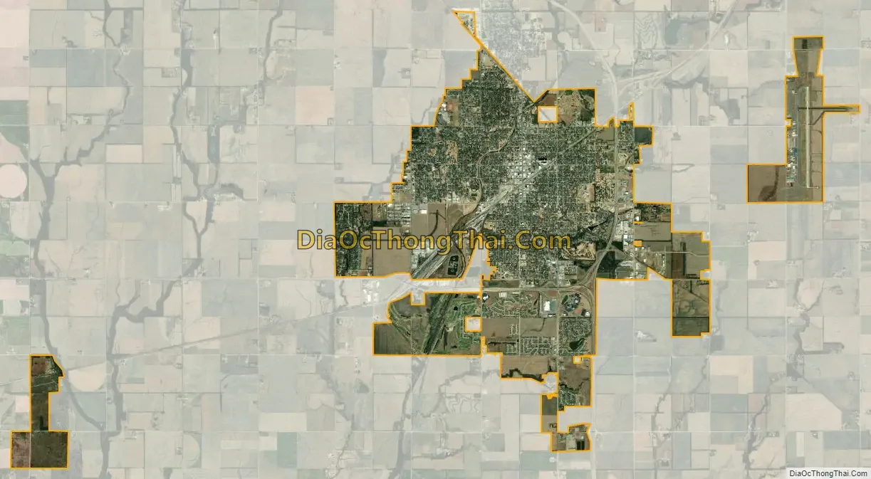
Newton city Satellite Map
Geography
Newton is located at coordinates 38.0466779, -97.3450365 in the state of Kansas. According to the United States Census Bureau, the city has a total area of 12.60 square miles (32.63 km), all of it land.
The city is in the central portion of the continental United States. U.S. Highway 81, also known as the Meridian Highway, stretches from Winnipeg, Manitoba, Canada to Mexico City, Mexico through Central and South America. It passes through Newton, Kansas and is known as “Main Street.” U.S. Highway 50 runs past the White House in Washington, DC through Newton, Kansas and continues on to Sacramento, California.
Climate
The climate in this area is characterized by hot, humid summers and generally mild to cool winters. According to the Köppen Climate Classification system, Newton has a humid subtropical climate, abbreviated “Cfa” on climate maps.
See also
Map of Kansas State and its subdivision:- Allen
- Anderson
- Atchison
- Barber
- Barton
- Bourbon
- Brown
- Butler
- Chase
- Chautauqua
- Cherokee
- Cheyenne
- Clark
- Clay
- Cloud
- Coffey
- Comanche
- Cowley
- Crawford
- Decatur
- Dickinson
- Doniphan
- Douglas
- Edwards
- Elk
- Ellis
- Ellsworth
- Finney
- Ford
- Franklin
- Geary
- Gove
- Graham
- Grant
- Gray
- Greeley
- Greenwood
- Hamilton
- Harper
- Harvey
- Haskell
- Hodgeman
- Jackson
- Jefferson
- Jewell
- Johnson
- Kearny
- Kingman
- Kiowa
- Labette
- Lane
- Leavenworth
- Lincoln
- Linn
- Logan
- Lyon
- Marion
- Marshall
- McPherson
- Meade
- Miami
- Mitchell
- Montgomery
- Morris
- Morton
- Nemaha
- Neosho
- Ness
- Norton
- Osage
- Osborne
- Ottawa
- Pawnee
- Phillips
- Pottawatomie
- Pratt
- Rawlins
- Reno
- Republic
- Rice
- Riley
- Rooks
- Rush
- Russell
- Saline
- Scott
- Sedgwick
- Seward
- Shawnee
- Sheridan
- Sherman
- Smith
- Stafford
- Stanton
- Stevens
- Sumner
- Thomas
- Trego
- Wabaunsee
- Wallace
- Washington
- Wichita
- Wilson
- Woodson
- Wyandotte
- Alabama
- Alaska
- Arizona
- Arkansas
- California
- Colorado
- Connecticut
- Delaware
- District of Columbia
- Florida
- Georgia
- Hawaii
- Idaho
- Illinois
- Indiana
- Iowa
- Kansas
- Kentucky
- Louisiana
- Maine
- Maryland
- Massachusetts
- Michigan
- Minnesota
- Mississippi
- Missouri
- Montana
- Nebraska
- Nevada
- New Hampshire
- New Jersey
- New Mexico
- New York
- North Carolina
- North Dakota
- Ohio
- Oklahoma
- Oregon
- Pennsylvania
- Rhode Island
- South Carolina
- South Dakota
- Tennessee
- Texas
- Utah
- Vermont
- Virginia
- Washington
- West Virginia
- Wisconsin
- Wyoming