Sedgwick County (county code: SG) is located in the U.S. state of Kansas. As of the 2020 census, the population was 523,824, making it the second-most populous county in Kansas. Its county seat is Wichita, the most populous city in the state.
| Name: | Sedgwick County |
|---|---|
| FIPS code: | 20-173 |
| State: | Kansas |
| Founded: | February 26, 1867 |
| Named for: | John Sedgwick |
| Seat: | Wichita |
| Largest city: | Wichita |
| Total Area: | 1,009 sq mi (2,610 km²) |
| Land Area: | 998 sq mi (2,580 km²) |
| Total Population: | 523,824 |
| Population Density: | 524.9/sq mi (202.7/km²) |
| Time zone: | UTC−6 (Central) |
| Summer Time Zone (DST): | UTC−5 (CDT) |
| Website: | sedgwickcounty.org |
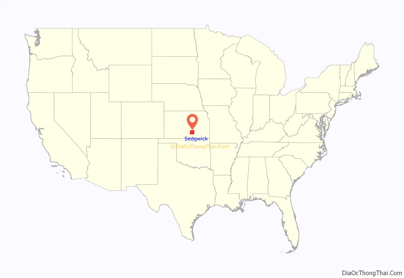
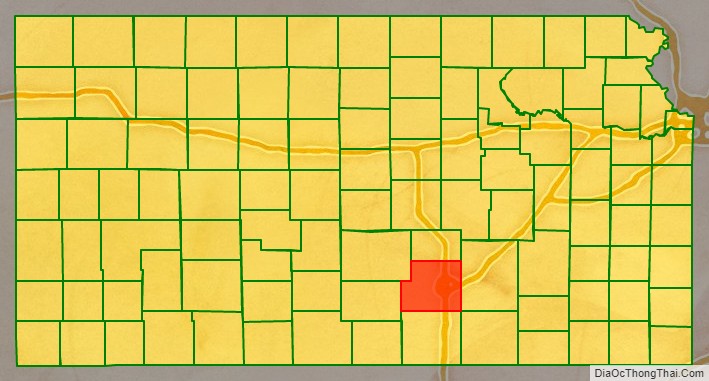
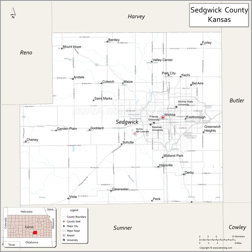
Sedgwick County location map. Where is Sedgwick County?
History
Early history
For many millennia, the Great Plains of North America was inhabited by nomadic Native Americans. From the 16th century to 18th century, the Kingdom of France claimed ownership of large parts of North America. In 1762, after the French and Indian War, France secretly ceded New France to Spain, per the Treaty of Fontainebleau. In 1802, Spain returned most of the land to France.
In 1803, most of the land for modern day Kansas was acquired by the United States from France as part of the 828,000 square mile Louisiana Purchase for 2.83 cents per acre. In 1848, after the Mexican–American War, the Treaty of Guadalupe Hidalgo with Spain brought into the United States all or part of land for ten future states, including southwest Kansas. In 1854, the Kansas Territory was organized, and in 1861 Kansas became the 34th U.S. state.
19th century
Sedgwick County was founded in 1867, and named after John Sedgwick, who was a major general in the Union Army during the American Civil War.
In 1887, the Chicago, Kansas and Nebraska Railway built a branch line north–south from Herington to Caldwell. This branch line connected Herington, Lost Springs, Lincolnville, Antelope, Marion, Aulne, Peabody, Elbing, Whitewater, Furley, Kechi, Wichita, Peck, Corbin, Wellington, Caldwell. By 1893, this branch line was incrementally built to Fort Worth, Texas. This line is called the “OKT”. The Chicago, Kansas and Nebraska Railway was foreclosed in 1891 and was taken over by Chicago, Rock Island and Pacific Railway, which shut down in 1980 and reorganized as Oklahoma, Kansas and Texas Railroad, merged in 1988 with Missouri Pacific Railroad, and finally merged in 1997 with Union Pacific Railroad. Most locals still refer to this railroad as the “Rock Island”.
20th century
Sedgwick County was the setting for the murders committed by the BTK strangler from 1974 until 1991. Dennis Rader, an employee of the Sedgwick County city of Park City was arrested in early 2005 after he began sending incriminating letters taunting the police in 2004. He had not been heard from since 1979. Ken Landwehr of the Wichita Police Department led the task force which captured Rader, setting a new standard of serial crime detection in the process, which is still studied by police departments across the world. Rader is serving 10 life sentences at the El Dorado Correctional Facility in El Dorado.
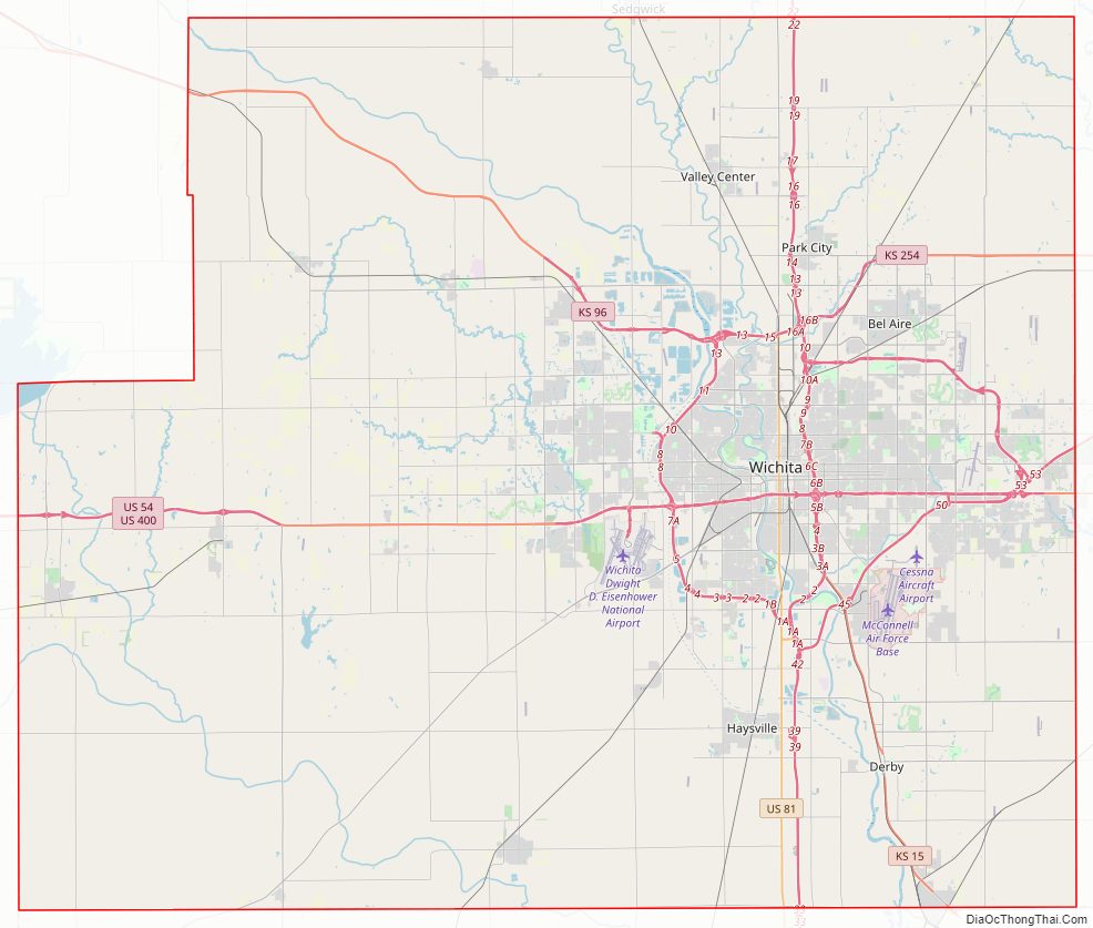
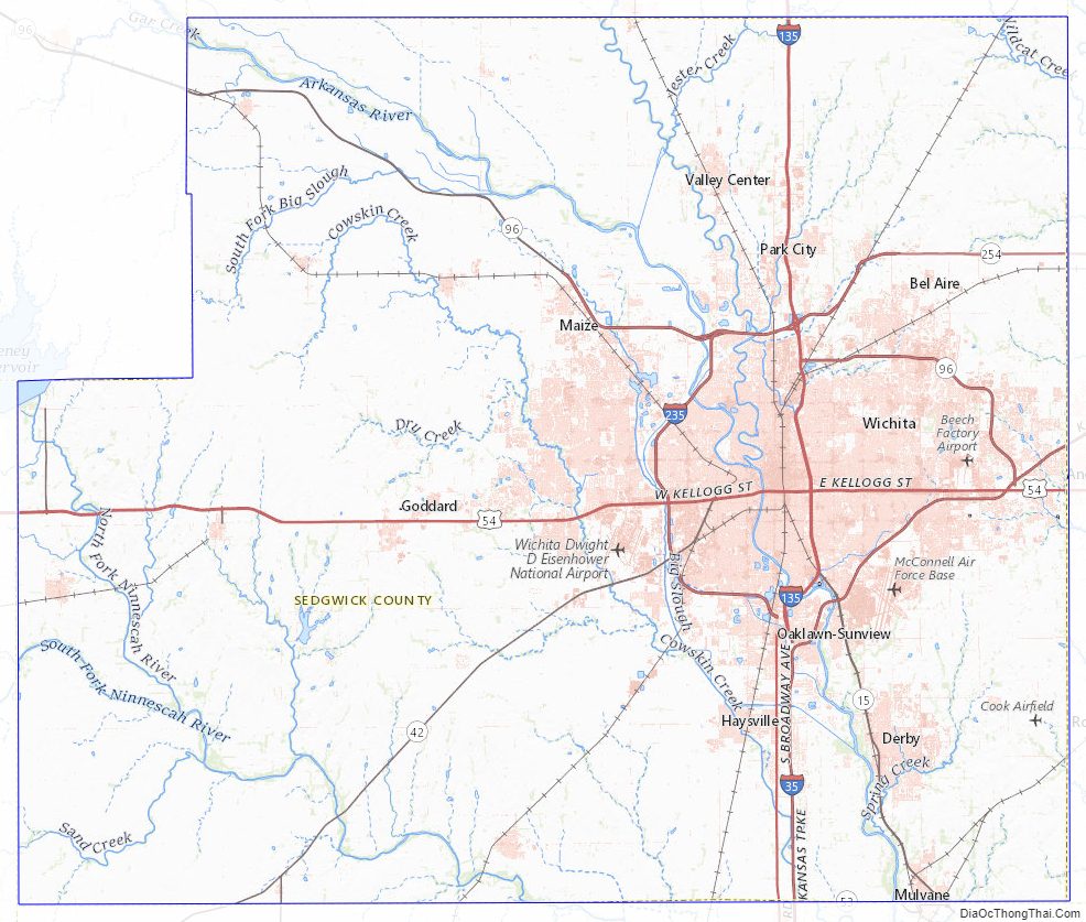
Sedgwick County Road Map
Geography
According to the United States Census Bureau, the county has a total area of 1,009 square miles (2,610 km), of which 998 square miles (2,580 km) is land and 12 square miles (31 km) (1.2%) is water.
Adjacent counties
- Harvey County (north)
- Butler County (east)
- Cowley County (southeast)
- Sumner County (south)
- Kingman County (west)
- Reno County (northwest)
Sedgwick County Topographic Map
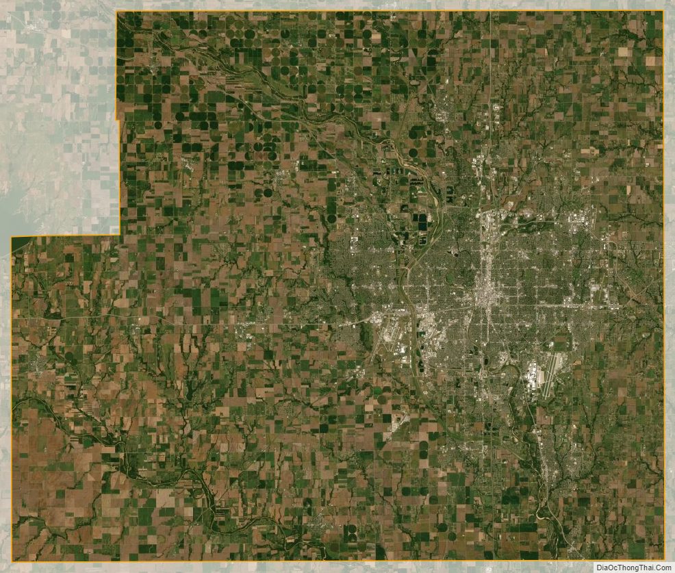
Sedgwick County Satellite Map
Sedgwick County Outline Map