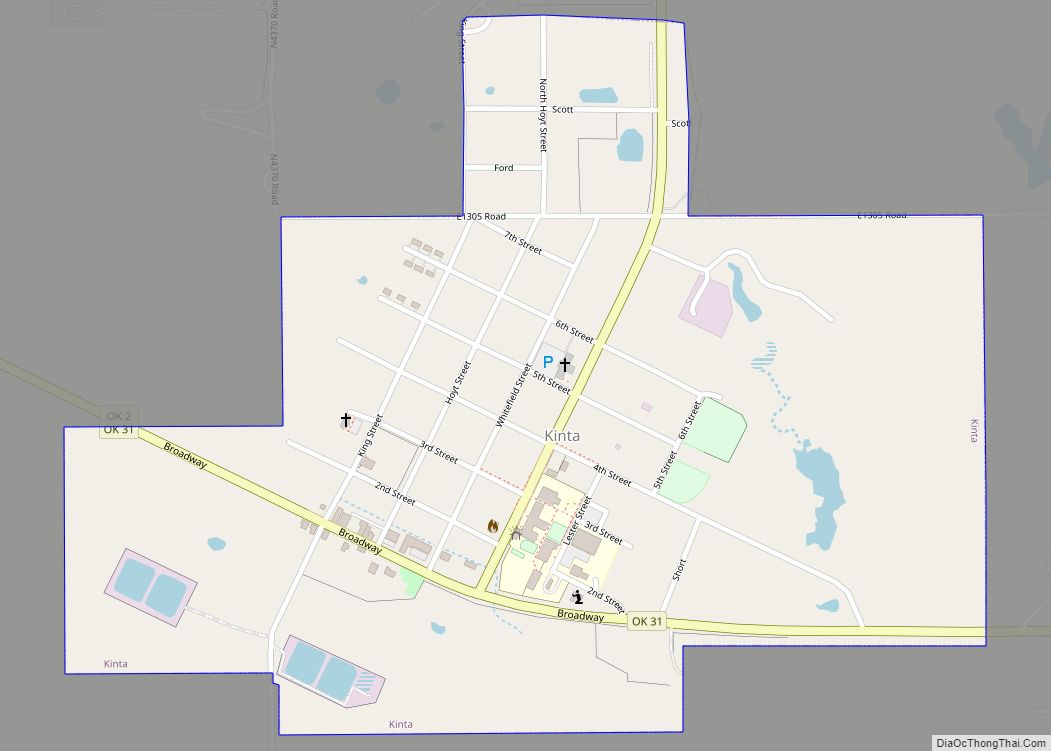
Kinta is a town in Haskell County, Oklahoma, United States. The population was 297 at the 2010 census, an increase of 22.2 percent over the figure of 243 recorded in 2000.
| Name: | Kinta town |
|---|---|
| LSAD Code: | 43 |
| LSAD Description: | town (suffix) |
| State: | Oklahoma |
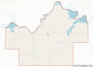
| County: | Haskell County |
| Elevation: | 548 ft (167 m) |
| Total Area: | 0.64 sq mi (1.65 km²) |
| Land Area: | 0.63 sq mi (1.63 km²) |
| Water Area: | 0.01 sq mi (0.03 km²) |
| Total Population: | 285 |
| Population Density: | 453.82/sq mi (175.09/km²) |
| ZIP code: | 74552 |
| Area code: | 539/918 |
| FIPS code: | 4039950 |
| GNISfeature ID: | 1094397 |
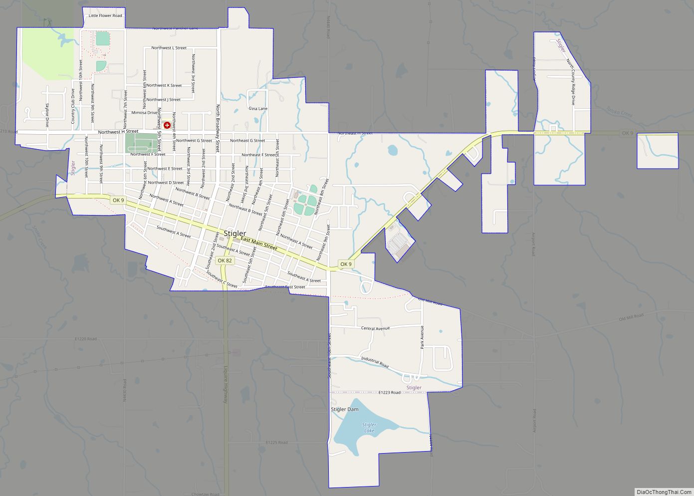
Online Interactive Map
Click on ![]() to view map in "full screen" mode.
to view map in "full screen" mode.
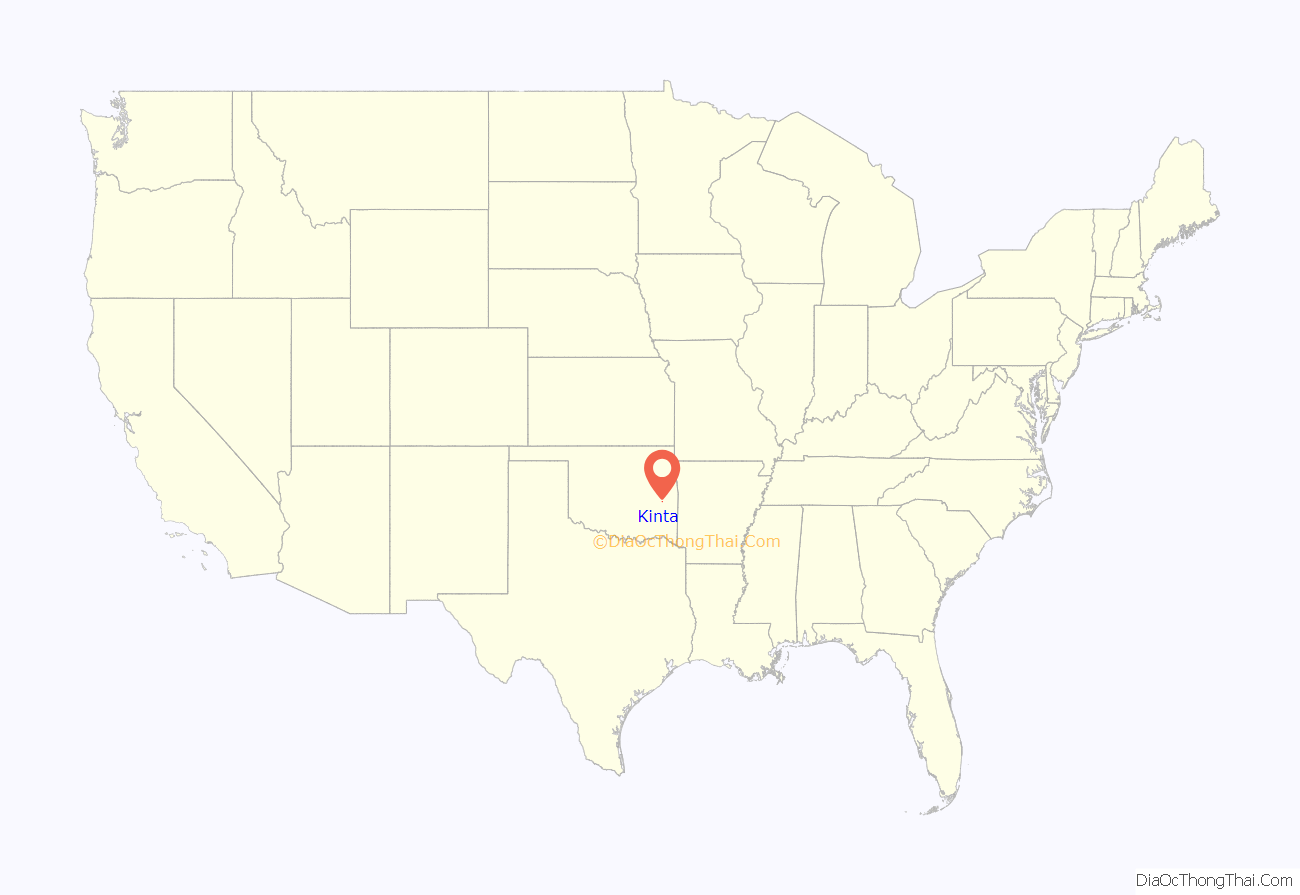
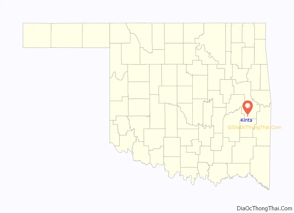
Kinta location map. Where is Kinta town?
History
Kinta was founded in 1901 by George W. Scott, son-in-law of Greenwood McCurtain, the last chief of the Choctaw Nation before Oklahoma became a state. Scott named the town for nearby Beaver Creek, the name Kinta being the Choctaw word for “beaver.” He moved his store to Kinta from San Bois, established a post office in his store, and built the first permanent building in town in 1903. San Bois was then the Choctaw capital, but had been bypassed by the Fort Smith and Western Railroad.
At the time of its founding, Kinta was located in the Moshulatubbee District of the Choctaw Nation.
During the first three decades of the 20th century, the town economy was supported by coal mining and the production of wood products. When these two industries declined sharply in the 1930s, the railroad ceased operations. The town nearly failed with them. The town survived somehow, and by the start of the 21st century, the major employer was the Kinta Public School System.
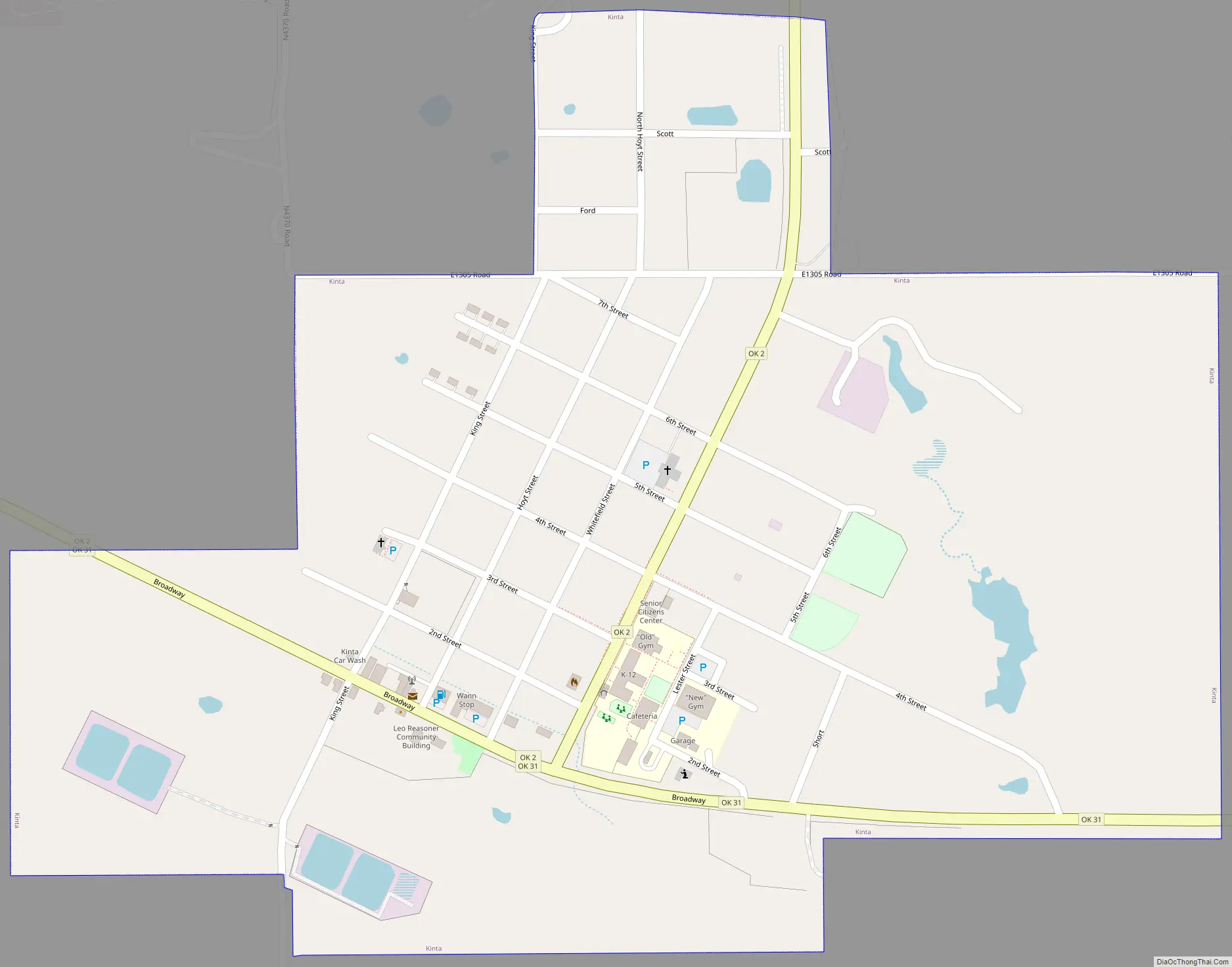
Kinta Road Map
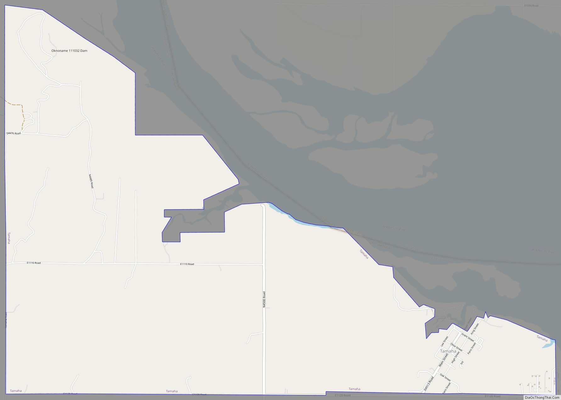
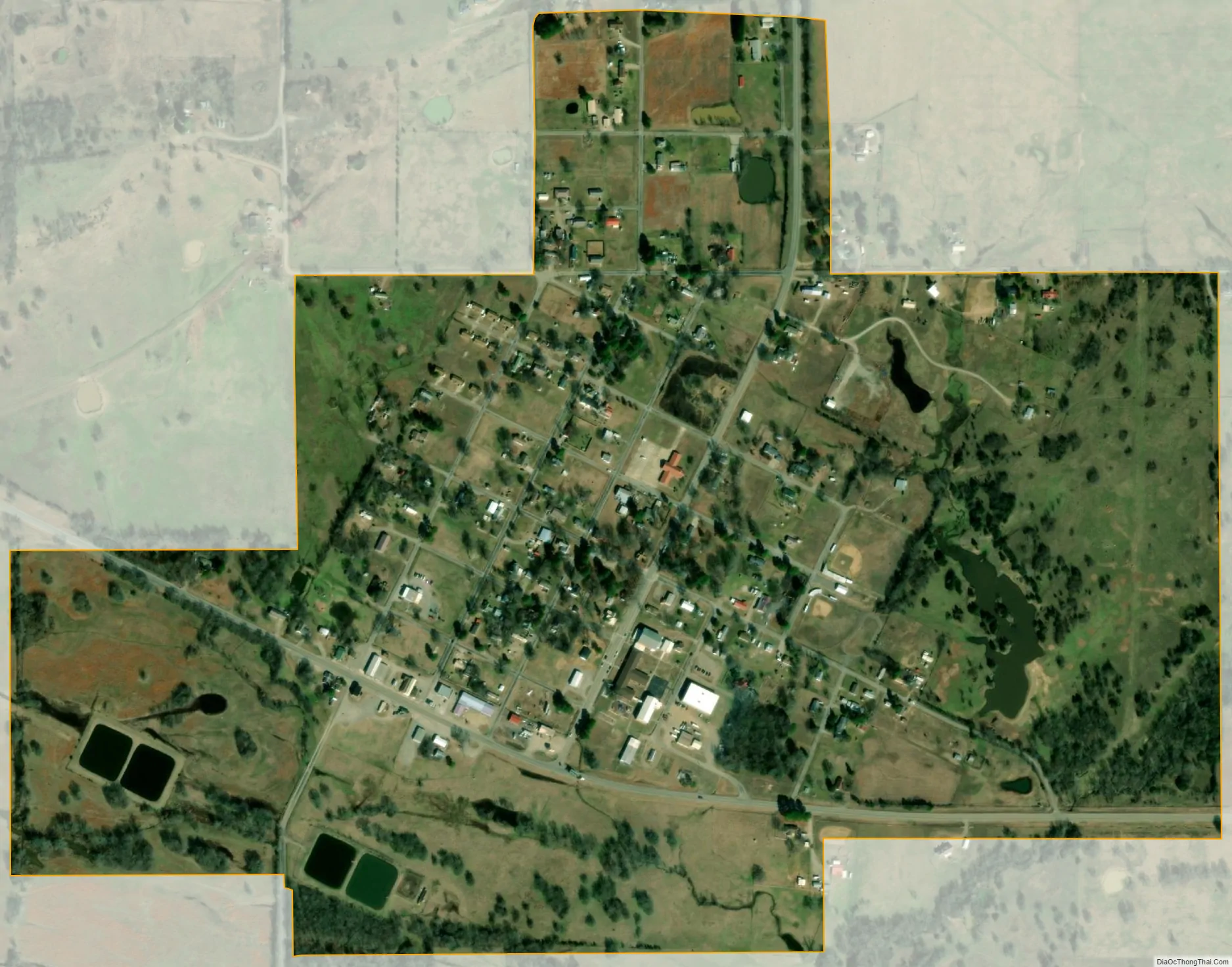
Kinta city Satellite Map
Geography
Kinta is located at 35°7′15″N 95°14′19″W / 35.12083°N 95.23861°W / 35.12083; -95.23861 (35.120875, -95.238683). It is 40 miles (64 km) east of McAlester and 56 miles (90 km) south of Muskogee.
According to the United States Census Bureau, the town has a total area of 0.6 square miles (1.6 km), all land.
See also
Map of Oklahoma State and its subdivision:- Adair
- Alfalfa
- Atoka
- Beaver
- Beckham
- Blaine
- Bryan
- Caddo
- Canadian
- Carter
- Cherokee
- Choctaw
- Cimarron
- Cleveland
- Coal
- Comanche
- Cotton
- Craig
- Creek
- Custer
- Delaware
- Dewey
- Ellis
- Garfield
- Garvin
- Grady
- Grant
- Greer
- Harmon
- Harper
- Haskell
- Hughes
- Jackson
- Jefferson
- Johnston
- Kay
- Kingfisher
- Kiowa
- Latimer
- Le Flore
- Lincoln
- Logan
- Love
- Major
- Marshall
- Mayes
- McClain
- McCurtain
- McIntosh
- Murray
- Muskogee
- Noble
- Nowata
- Okfuskee
- Oklahoma
- Okmulgee
- Osage
- Ottawa
- Pawnee
- Payne
- Pittsburg
- Pontotoc
- Pottawatomie
- Pushmataha
- Roger Mills
- Rogers
- Seminole
- Sequoyah
- Stephens
- Texas
- Tillman
- Tulsa
- Wagoner
- Washington
- Washita
- Woods
- Woodward
- Alabama
- Alaska
- Arizona
- Arkansas
- California
- Colorado
- Connecticut
- Delaware
- District of Columbia
- Florida
- Georgia
- Hawaii
- Idaho
- Illinois
- Indiana
- Iowa
- Kansas
- Kentucky
- Louisiana
- Maine
- Maryland
- Massachusetts
- Michigan
- Minnesota
- Mississippi
- Missouri
- Montana
- Nebraska
- Nevada
- New Hampshire
- New Jersey
- New Mexico
- New York
- North Carolina
- North Dakota
- Ohio
- Oklahoma
- Oregon
- Pennsylvania
- Rhode Island
- South Carolina
- South Dakota
- Tennessee
- Texas
- Utah
- Vermont
- Virginia
- Washington
- West Virginia
- Wisconsin
- Wyoming