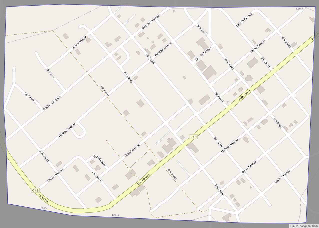
Keota is a town in northeastern Haskell County, Oklahoma, United States. The population was 438 at the 2020 census, a 22.3 percent decrease over the figure of 564 recorded in 2010.
| Name: | Keota town |
|---|---|
| LSAD Code: | 43 |
| LSAD Description: | town (suffix) |
| State: | Oklahoma |
| County: | Haskell County |
| Elevation: | 502 ft (153 m) |
| Total Area: | 0.38 sq mi (0.98 km²) |
| Land Area: | 0.38 sq mi (0.97 km²) |
| Water Area: | 0.00 sq mi (0.00 km²) |
| Total Population: | 437 |
| Population Density: | 1,162.23/sq mi (448.31/km²) |
| ZIP code: | 74941 |
| Area code: | 539/918 |
| FIPS code: | 4039500 |
| GNISfeature ID: | 1094338 |
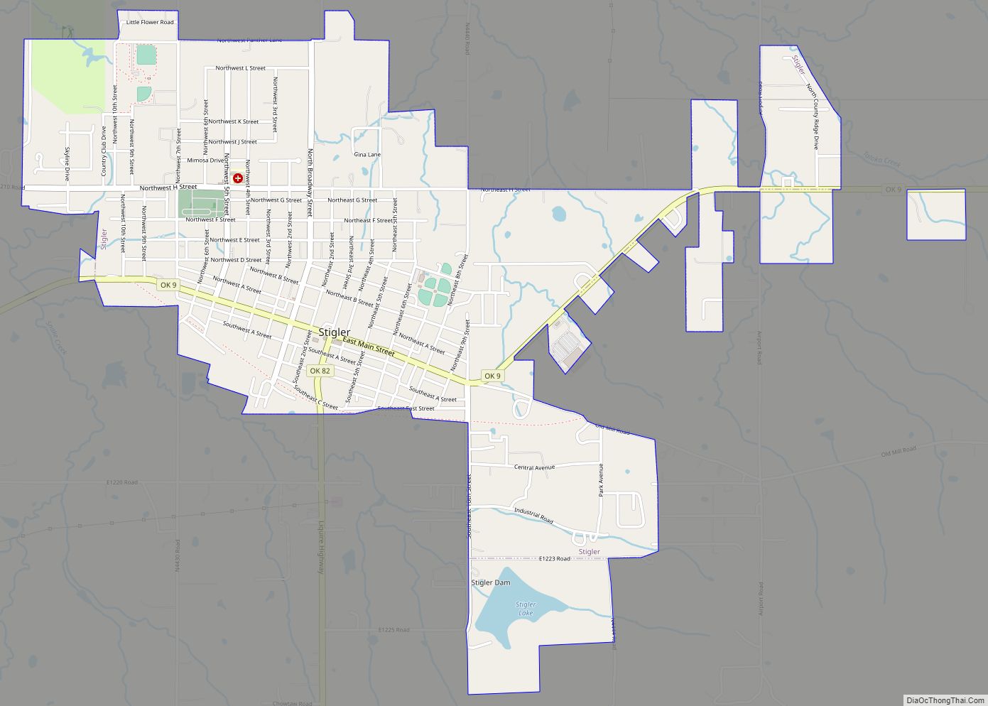
Online Interactive Map
Click on ![]() to view map in "full screen" mode.
to view map in "full screen" mode.
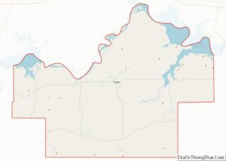
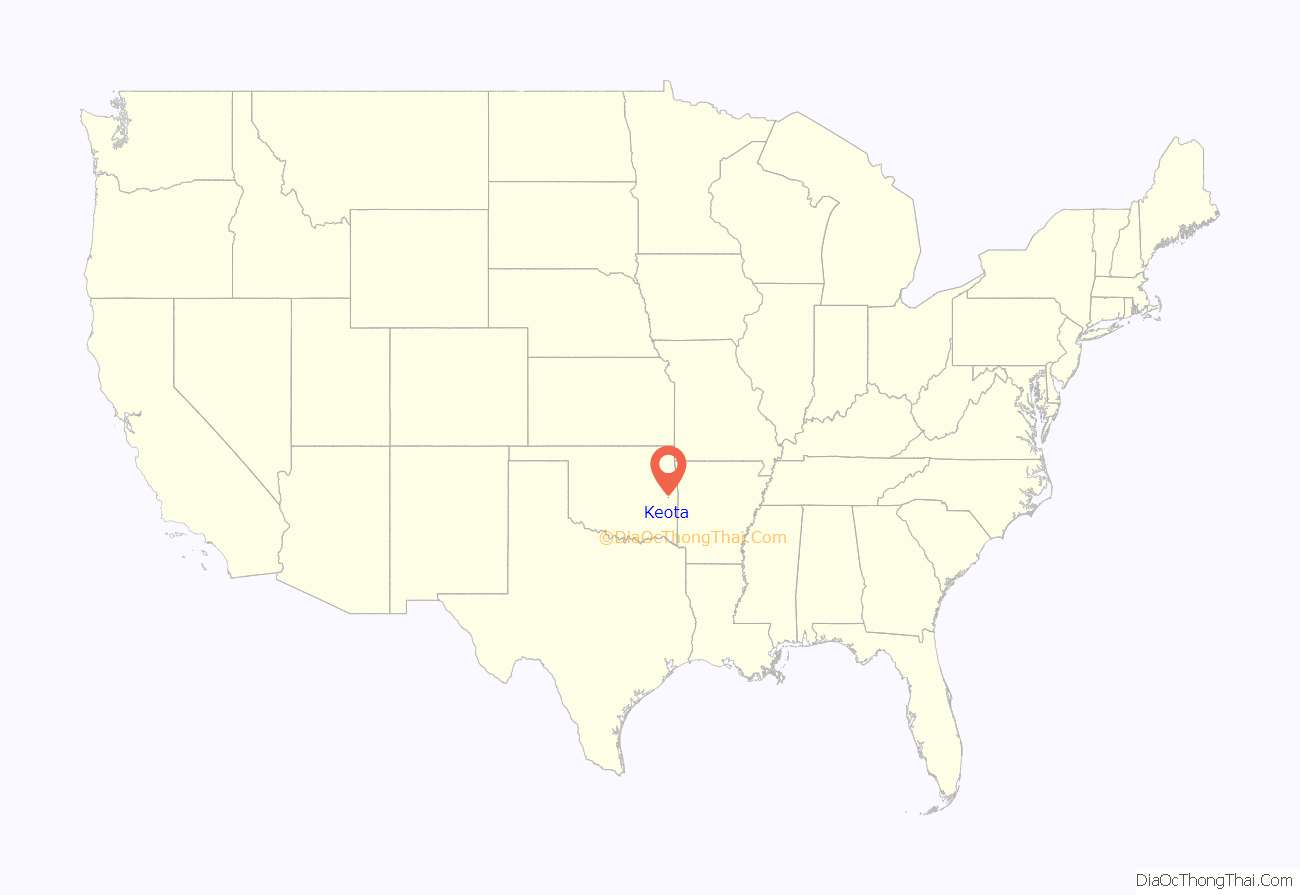
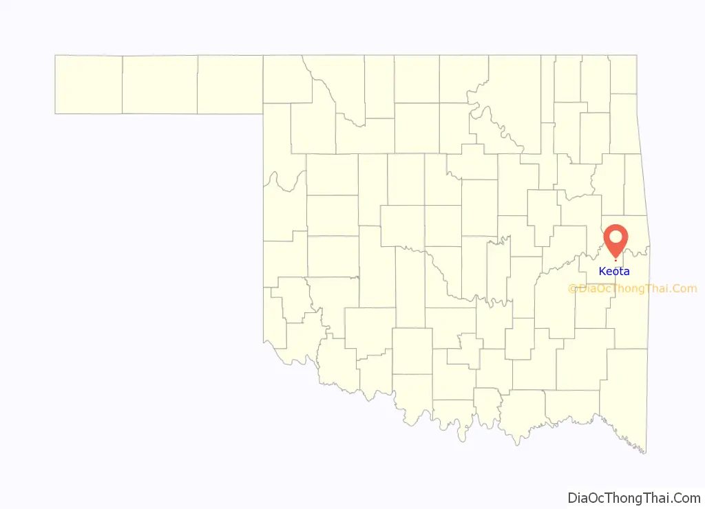
Keota location map. Where is Keota town?
History
The town was first called “KeeOtter”, which was later changed to “Keota”. The town’s name may come from a Choctaw word meaning “the fire gone out”, referring to an entire tribe being destroyed by disease, or may be derived from “Jim Keese”, a rancher who owned the land where the townsite was located, and “Otter,” for Otter Creek, a tributary of the Sans Bois Creek which winds its way through town.
Keota was founded in 1904 by the Midland Valley Railroad’s land company, and a post office was established in 1905.
By 1911, the town supported several businesses, a hotel, and a lumberyard. The town supported local cotton growers, and was a railroad shipping point for their product.
The Great Depression caused Keota’s population to fall from 494 in 1920 to 470 in 1930, though it rebounded to 619 by 1970.
In 1971, the McClellan–Kerr Arkansas River Navigation System was established on the Arkansas River, about 10 miles north of Keota. A dam on the river created the Robert S. Kerr Reservoir, which reaches to Keota. This enabled the Port of Keota to be established. Light industry was beginning to be drawn to the town at the end of the twentieth century, though by 2013, little remained of the port but a boatlaunch The railway had long been abandoned.
On December 31, 1974, the nearby Otter Creek Archaeological Site (NR 74001661) was listed on the National Register of Historic Places.
At the time of its founding, Keota was located in Moshulatubbee District, Choctaw Nation.
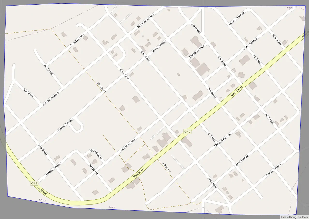
Keota Road Map
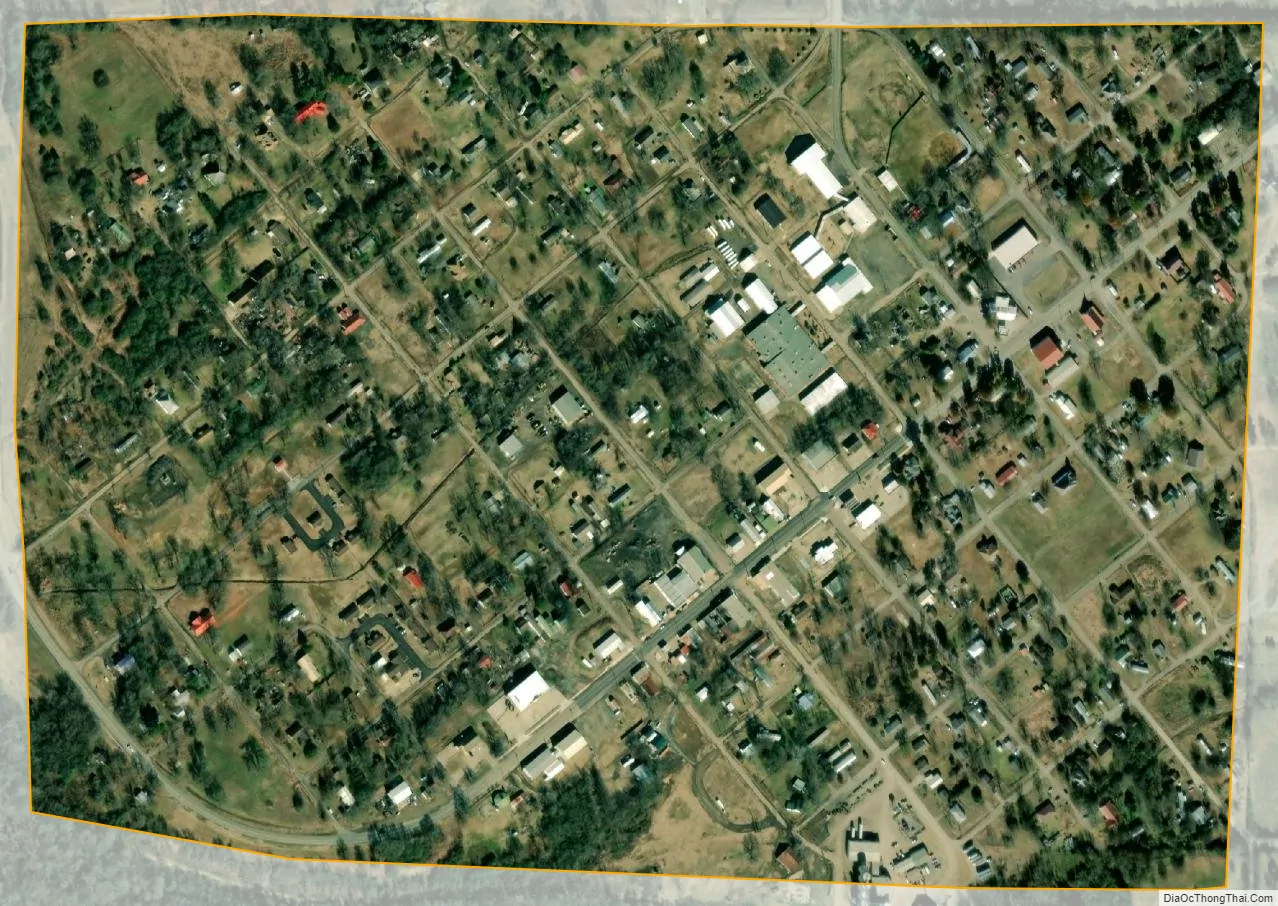
Keota city Satellite Map
Geography
Keota is located 38 miles (61 km) west of Fort Smith, Arkansas and 28 miles (45 km) south southwest of Sallisaw.
According to the United States Census Bureau, the town has a total area of 0.4 square miles (1.0 km), all land.
See also
Map of Oklahoma State and its subdivision:- Adair
- Alfalfa
- Atoka
- Beaver
- Beckham
- Blaine
- Bryan
- Caddo
- Canadian
- Carter
- Cherokee
- Choctaw
- Cimarron
- Cleveland
- Coal
- Comanche
- Cotton
- Craig
- Creek
- Custer
- Delaware
- Dewey
- Ellis
- Garfield
- Garvin
- Grady
- Grant
- Greer
- Harmon
- Harper
- Haskell
- Hughes
- Jackson
- Jefferson
- Johnston
- Kay
- Kingfisher
- Kiowa
- Latimer
- Le Flore
- Lincoln
- Logan
- Love
- Major
- Marshall
- Mayes
- McClain
- McCurtain
- McIntosh
- Murray
- Muskogee
- Noble
- Nowata
- Okfuskee
- Oklahoma
- Okmulgee
- Osage
- Ottawa
- Pawnee
- Payne
- Pittsburg
- Pontotoc
- Pottawatomie
- Pushmataha
- Roger Mills
- Rogers
- Seminole
- Sequoyah
- Stephens
- Texas
- Tillman
- Tulsa
- Wagoner
- Washington
- Washita
- Woods
- Woodward
- Alabama
- Alaska
- Arizona
- Arkansas
- California
- Colorado
- Connecticut
- Delaware
- District of Columbia
- Florida
- Georgia
- Hawaii
- Idaho
- Illinois
- Indiana
- Iowa
- Kansas
- Kentucky
- Louisiana
- Maine
- Maryland
- Massachusetts
- Michigan
- Minnesota
- Mississippi
- Missouri
- Montana
- Nebraska
- Nevada
- New Hampshire
- New Jersey
- New Mexico
- New York
- North Carolina
- North Dakota
- Ohio
- Oklahoma
- Oregon
- Pennsylvania
- Rhode Island
- South Carolina
- South Dakota
- Tennessee
- Texas
- Utah
- Vermont
- Virginia
- Washington
- West Virginia
- Wisconsin
- Wyoming