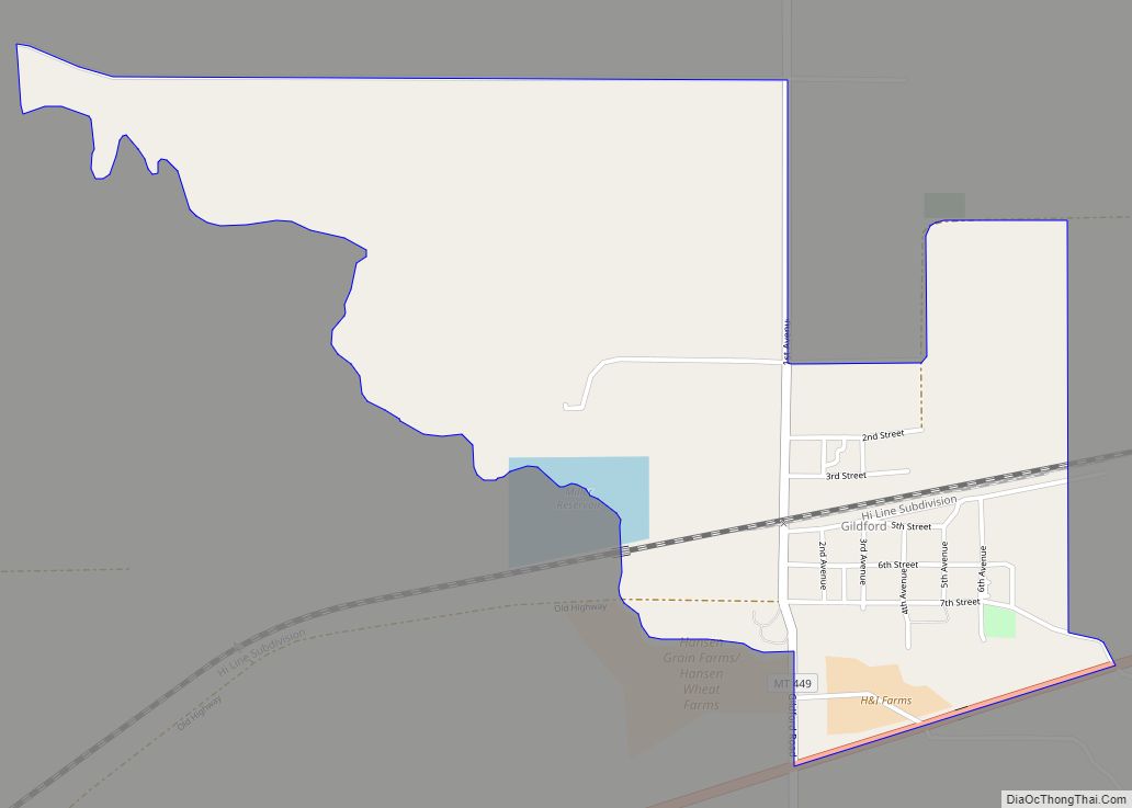
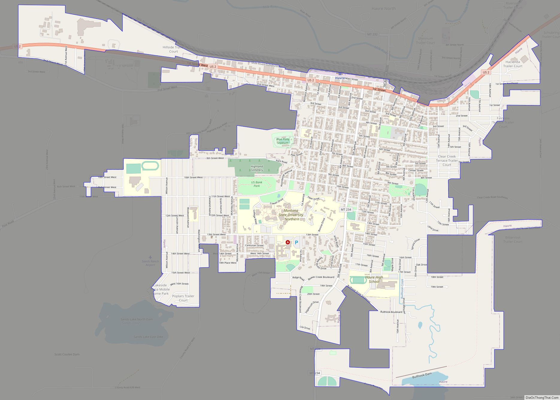
Rudyard is an unincorporated community and census-designated place (CDP) in Hill County, Montana, United States. The population was 258 at the 2010 census.
The community was established as a switching station on the Great Northern Railway. The post office opened in 1910. It is named after author Rudyard Kipling.
| Name: | Rudyard CDP |
|---|---|
| LSAD Code: | 57 |
| LSAD Description: | CDP (suffix) |
| State: | Montana |
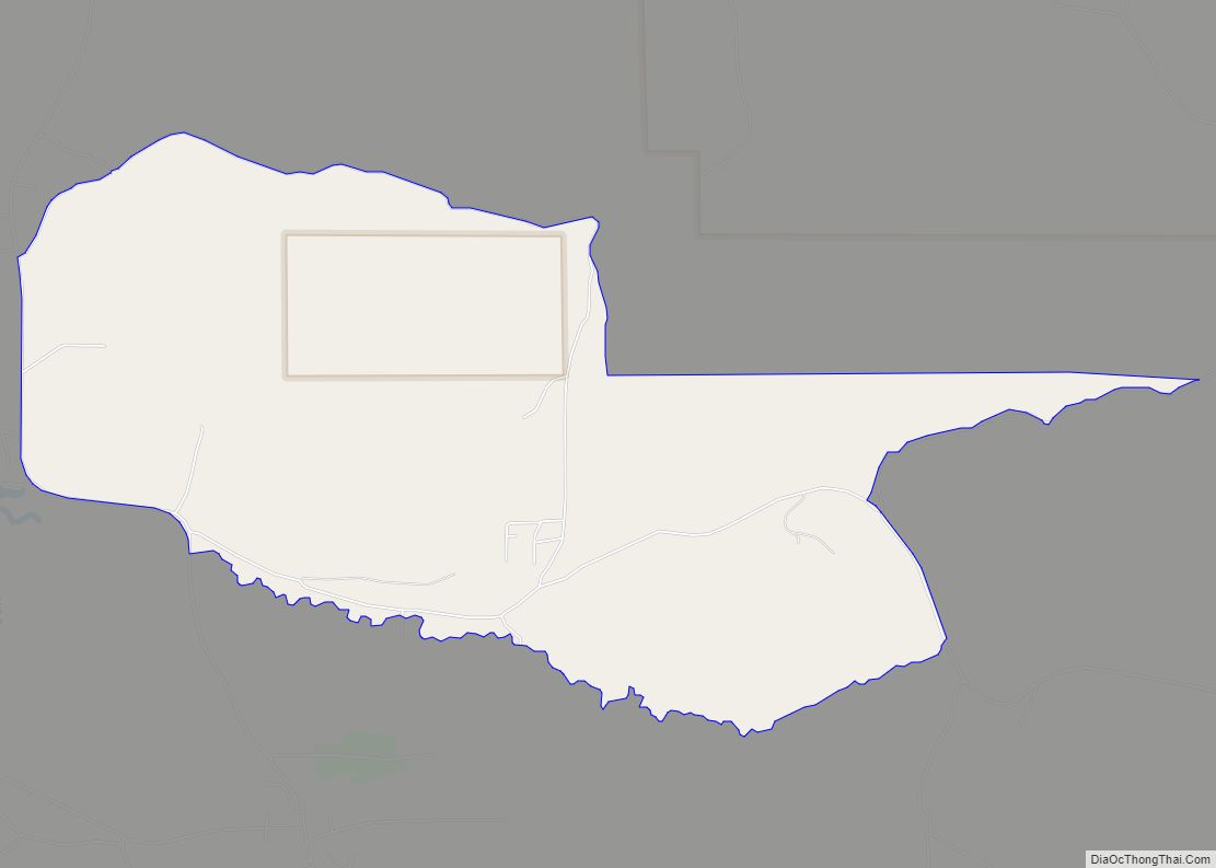
| County: | Hill County |
| Elevation: | 3,114 ft (949 m) |
| Total Area: | 0.92 sq mi (2.37 km²) |
| Land Area: | 0.92 sq mi (2.37 km²) |
| Water Area: | 0.00 sq mi (0.00 km²) |
| Total Population: | 270 |
| Population Density: | 294.76/sq mi (113.77/km²) |
| ZIP code: | 59540 |
| Area code: | 406 |
| FIPS code: | 3064900 |
| GNISfeature ID: | 0776006 |
Online Interactive Map
Click on ![]() to view map in "full screen" mode.
to view map in "full screen" mode.
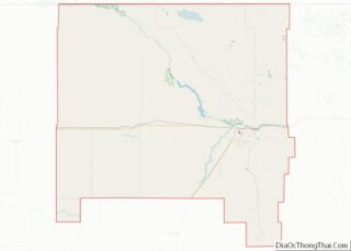
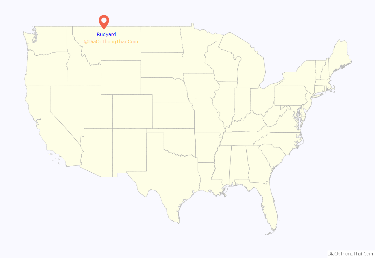
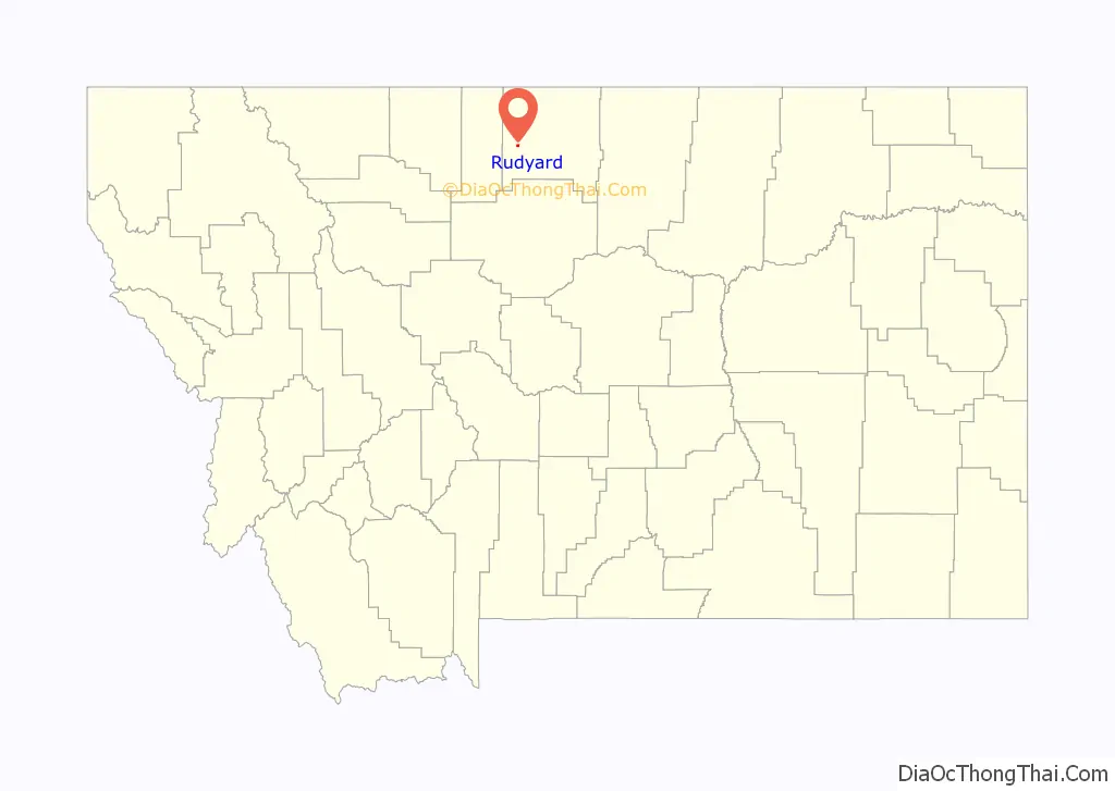
Rudyard location map. Where is Rudyard CDP?
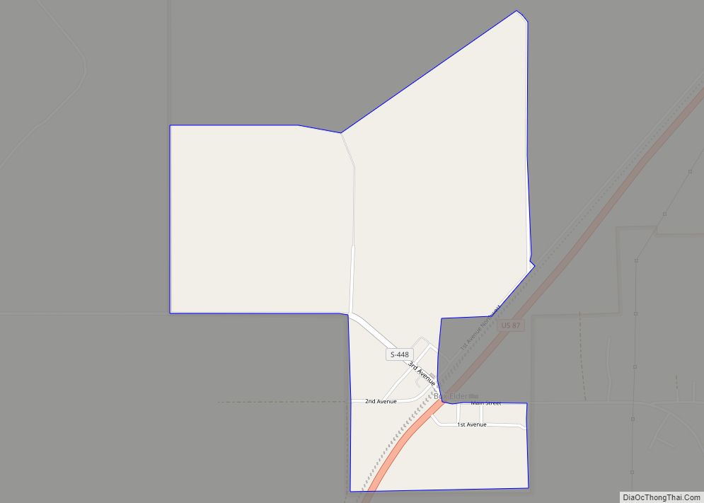
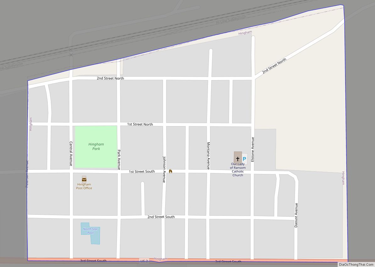
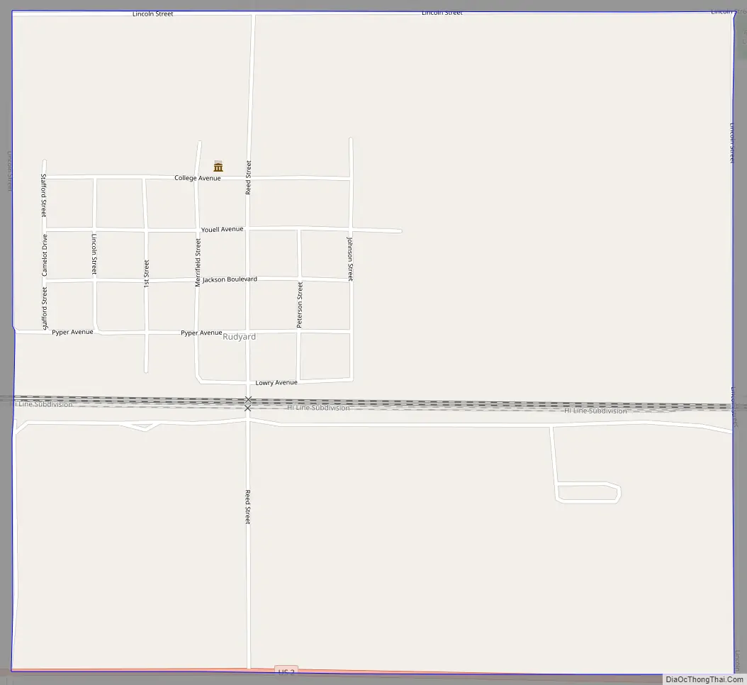
Rudyard Road Map
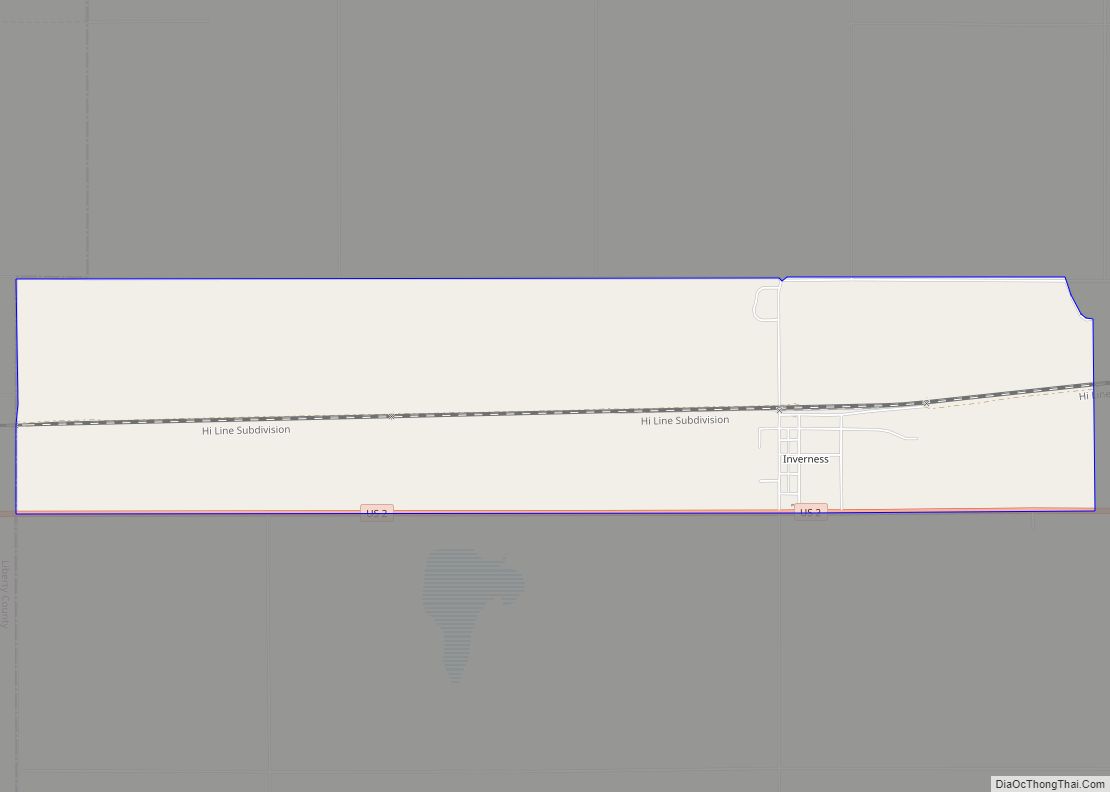
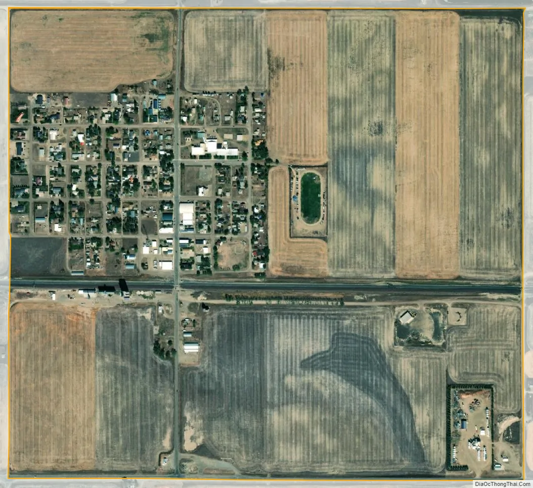
Rudyard city Satellite Map
Geography
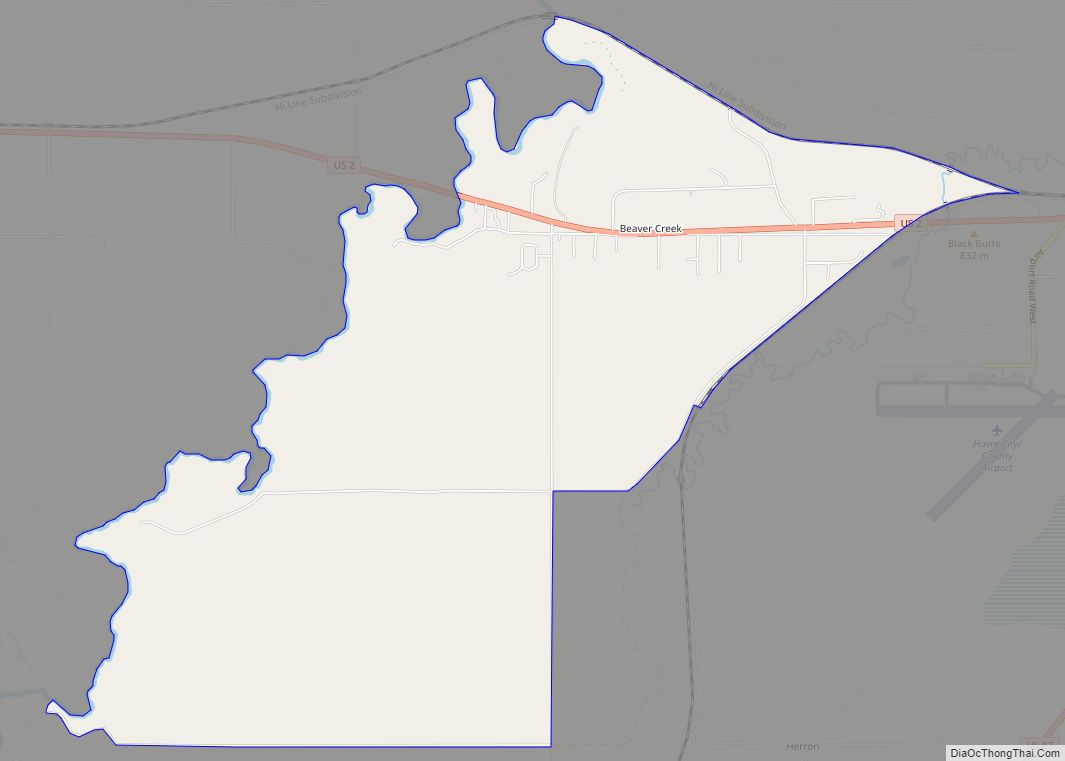
Rudyard is located western Hill County at 48°33′38″N 110°33′17″W / 48.56056°N 110.55472°W / 48.56056; -110.55472 (48.560633, -110.554737). U.S. Route 2 runs along the southern edge of the community, leading east 41 miles (66 km) to Havre, the county seat, and west 62 miles (100 km) to Shelby.
According to the United States Census Bureau, the CDP has a total area of 0.93 square miles (2.4 km), all land.
Antipodes
Rudyard has the distinction of being the only community in the contiguous United States that sits atop a non-oceanic antipode, that being one of the Kerguelen Islands.
See also
Map of Montana State and its subdivision:- Beaverhead
- Big Horn
- Blaine
- Broadwater
- Carbon
- Carter
- Cascade
- Chouteau
- Custer
- Daniels
- Dawson
- Deer Lodge
- Fallon
- Fergus
- Flathead
- Gallatin
- Garfield
- Glacier
- Golden Valley
- Granite
- Hill
- Jefferson
- Judith Basin
- Lake
- Lewis and Clark
- Liberty
- Lincoln
- Madison
- McCone
- Meagher
- Mineral
- Missoula
- Musselshell
- Park
- Petroleum
- Phillips
- Pondera
- Powder River
- Powell
- Prairie
- Ravalli
- Richland
- Roosevelt
- Rosebud
- Sanders
- Sheridan
- Silver Bow
- Stillwater
- Sweet Grass
- Teton
- Toole
- Treasure
- Valley
- Wheatland
- Wibaux
- Yellowstone
- Alabama
- Alaska
- Arizona
- Arkansas
- California
- Colorado
- Connecticut
- Delaware
- District of Columbia
- Florida
- Georgia
- Hawaii
- Idaho
- Illinois
- Indiana
- Iowa
- Kansas
- Kentucky
- Louisiana
- Maine
- Maryland
- Massachusetts
- Michigan
- Minnesota
- Mississippi
- Missouri
- Montana
- Nebraska
- Nevada
- New Hampshire
- New Jersey
- New Mexico
- New York
- North Carolina
- North Dakota
- Ohio
- Oklahoma
- Oregon
- Pennsylvania
- Rhode Island
- South Carolina
- South Dakota
- Tennessee
- Texas
- Utah
- Vermont
- Virginia
- Washington
- West Virginia
- Wisconsin
- Wyoming