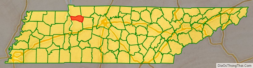
Houston County is a county located in the U.S. state of Tennessee. As of the 2020 census, the population was 8,283. Its county seat is Erin. The county was founded in 1871. It was named for Sam Houston.
| Name: | Houston County |
|---|---|
| FIPS code: | 47-083 |
| State: | Tennessee |
| Founded: | 1871 |
| Named for: | Sam Houston |
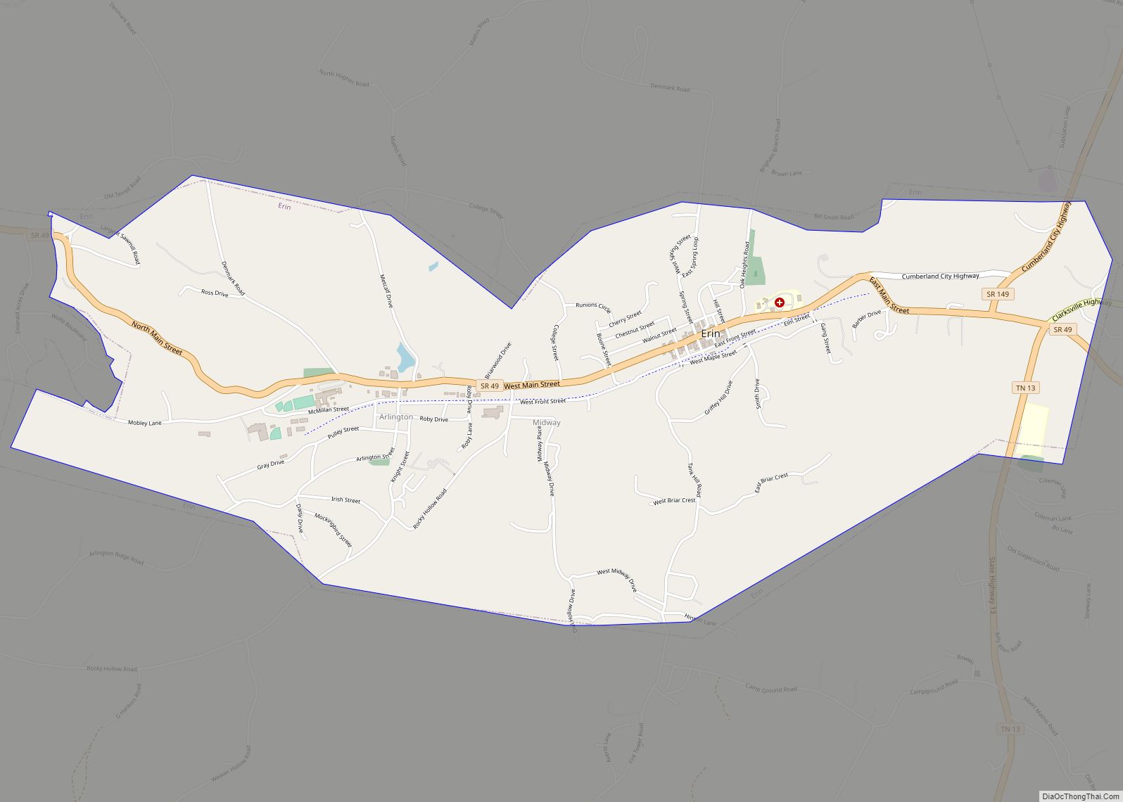
| Seat: | Erin |
| Largest city: | Erin |
| Total Area: | 207 sq mi (540 km²) |
| Land Area: | 200 sq mi (500 km²) |
| Total Population: | 8,283 |
| Population Density: | 42/sq mi (16/km²) |
| Time zone: | UTC−6 (Central) |
| Summer Time Zone (DST): | UTC−5 (CDT) |
| Website: | www.houstoncochamber.com |
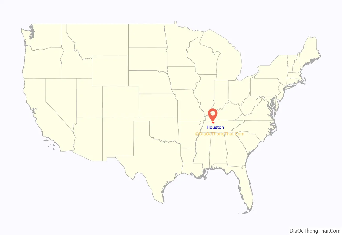
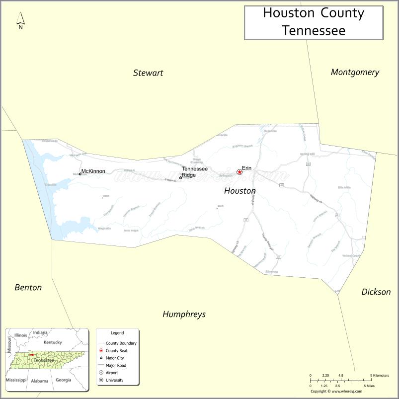
Houston County location map. Where is Houston County?
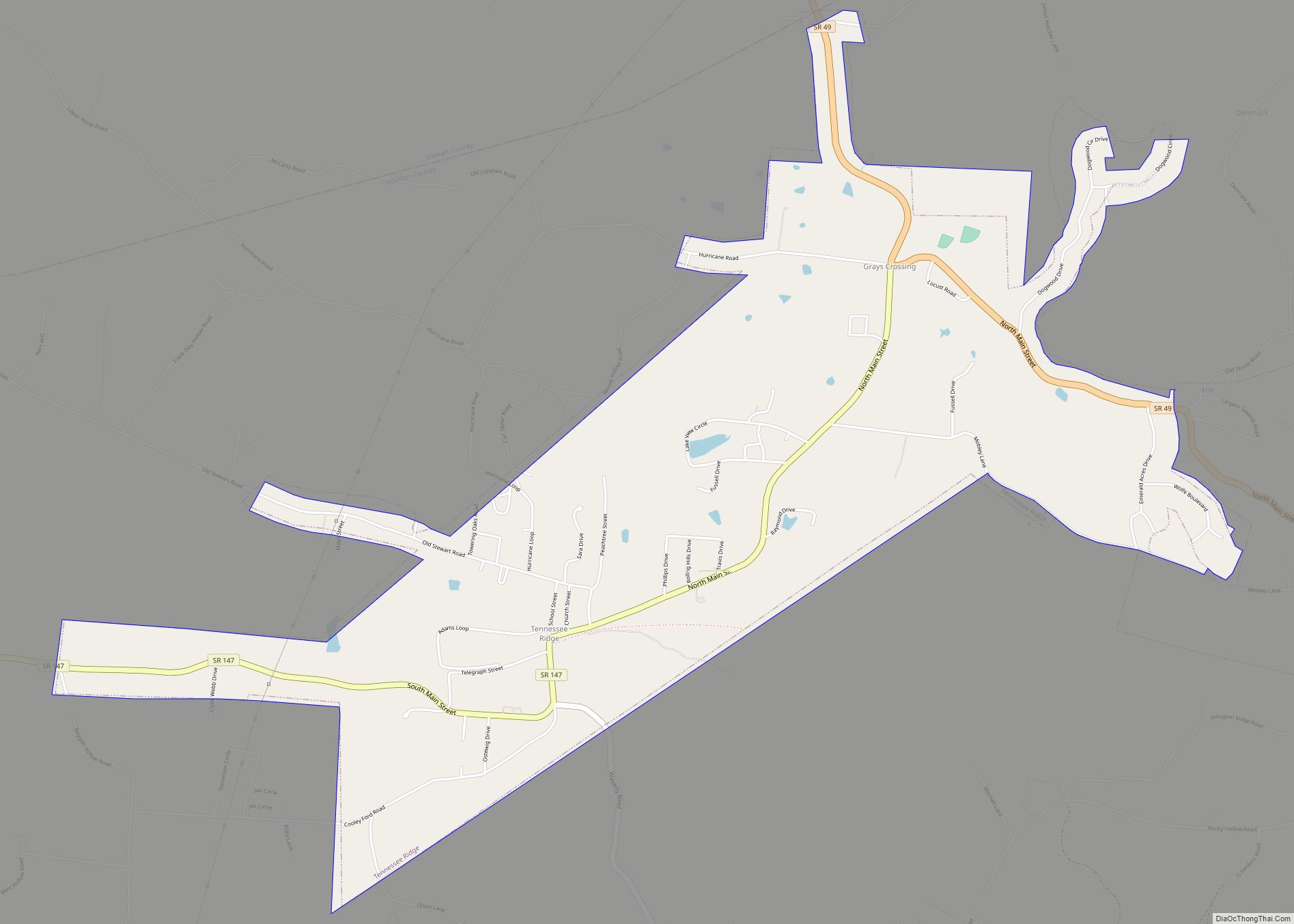
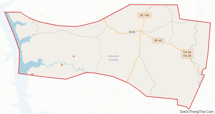
Houston County Road Map
Geography
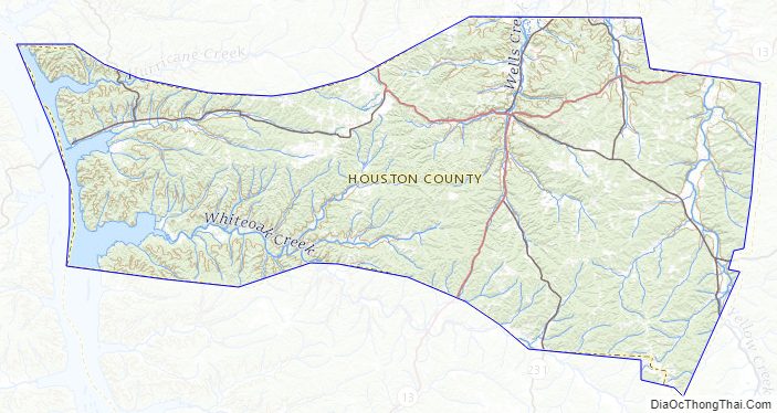
According to the U.S. Census Bureau, the county has a total area of 207 square miles (540 km), of which 200 square miles (520 km) is land and 6.7 square miles (17 km) (3.2%) is water.
Adjacent counties
- Stewart County – north
- Montgomery County – northeast
- Dickson County – east
- Humphreys County – south
- Benton County – west
Major highways
- State Route 13
- State Route 46
- State Route 49
- State Route 147
- State Route 149
- State Route 231
- State Route 232
Houston County Topographic Map
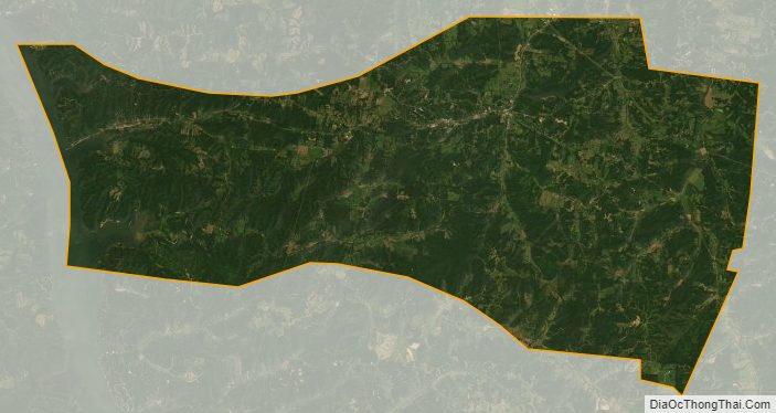
Houston County Satellite Map
Houston County Outline Map