Erin is a city in and the county seat of Houston County, Tennessee. The population was 1,224 at the time of the 2020 census and 1,324 at the time of the 2010 census.
| Name: | Erin city |
|---|---|
| LSAD Code: | 25 |
| LSAD Description: | city (suffix) |
| State: | Tennessee |
| County: | Houston County |
| Elevation: | 480 ft (146 m) |
| Total Area: | 3.90 sq mi (10.10 km²) |
| Land Area: | 3.90 sq mi (10.09 km²) |
| Water Area: | 0.00 sq mi (0.01 km²) |
| Total Population: | 1,224 |
| Population Density: | 314.17/sq mi (121.29/km²) |
| ZIP code: | 37061 |
| Area code: | 931 |
| FIPS code: | 4724320 |
| GNISfeature ID: | 1283839 |
| Website: | www.erintn.org |
Online Interactive Map
Click on ![]() to view map in "full screen" mode.
to view map in "full screen" mode.
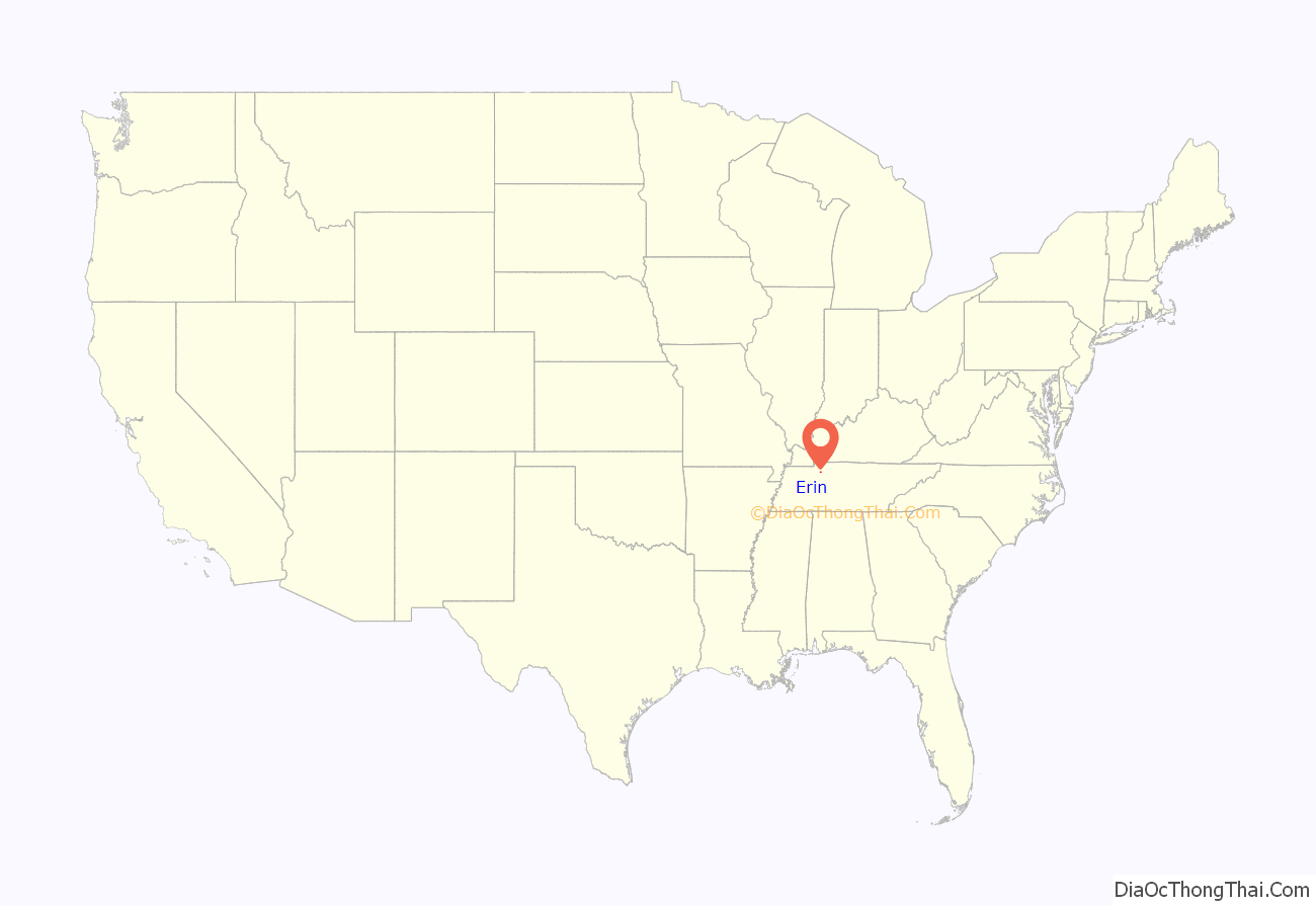
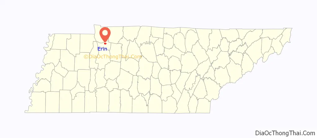
Erin location map. Where is Erin city?
History
The city was perhaps named for Erin, a poetic name for Ireland.
Each year in March,beginning in 1962 (61 years ago as of 2023) the town has held a weeklong Irish festival, one of the top ten celebrations in the U.S., with a parade, banquets, pageants, arts and crafts, and other events celebrating Erin’s Irish heritage and honoring the sacrifice of Irish railroad workers who helped link Erin to the rest of the world.
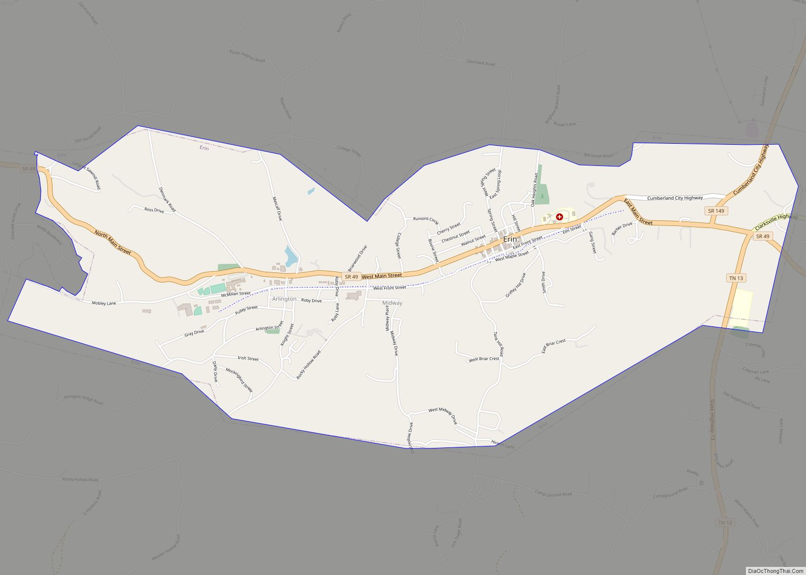
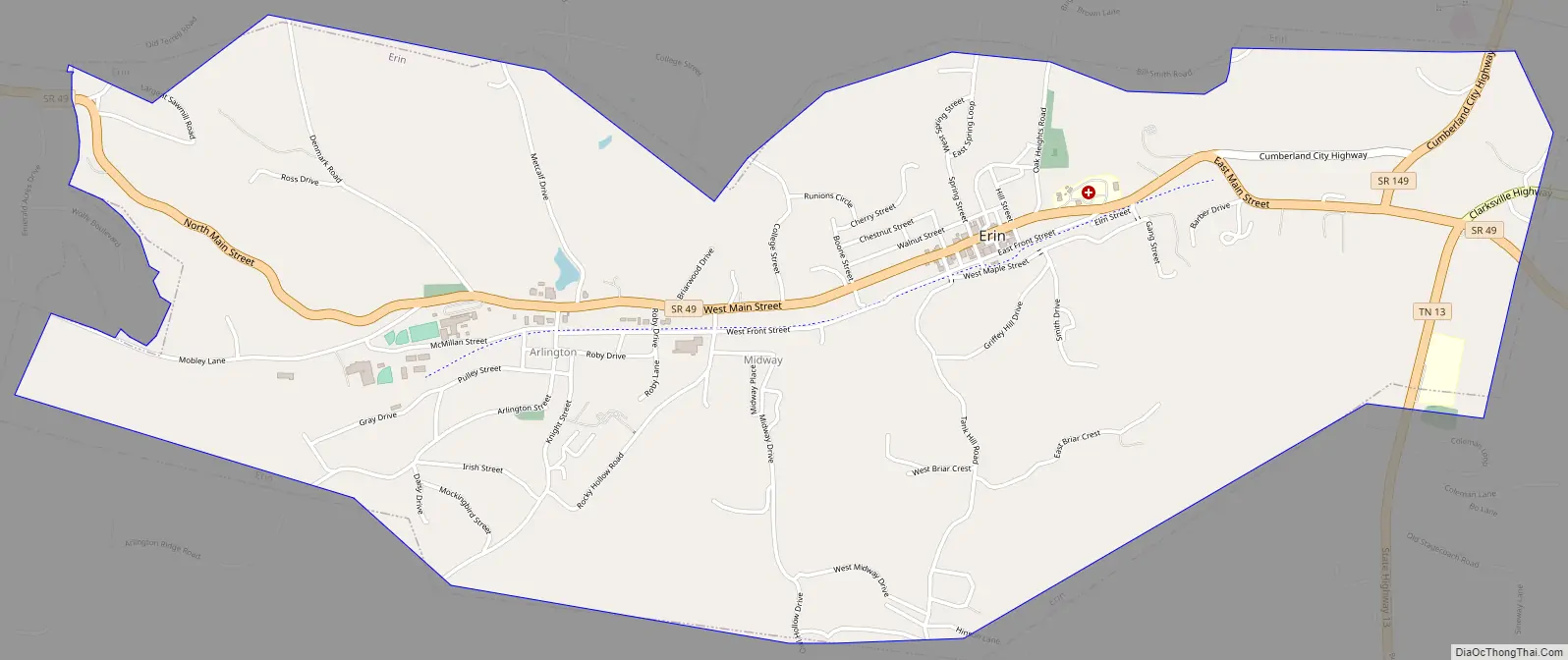
Erin Road Map
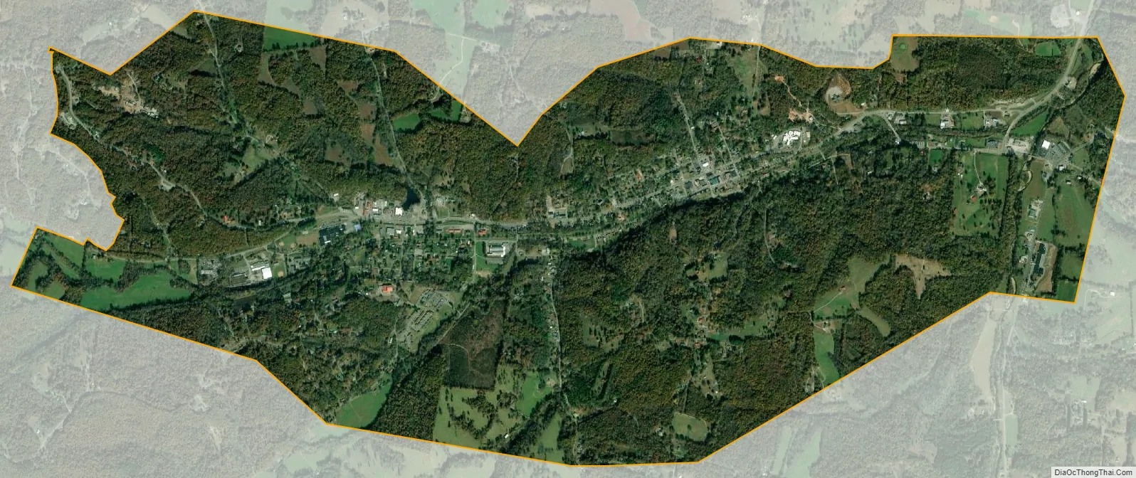
Erin city Satellite Map
Geography
Erin is located at 36°19′1″N 87°41′53″W / 36.31694°N 87.69806°W / 36.31694; -87.69806 (36.316998, -87.697946). The elevation is 480 feet above sea level.
According to the United States Census Bureau, the city has a total area of 4.1 square miles (11 km), all land.
Major roads and highways
- State Route 13
- State Route 49 (Main Street)
- State Route 149
ZIP code
The ZIP code used in the Erin area is 37061.
Area code
Erin uses the area code 931.
See also
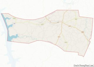
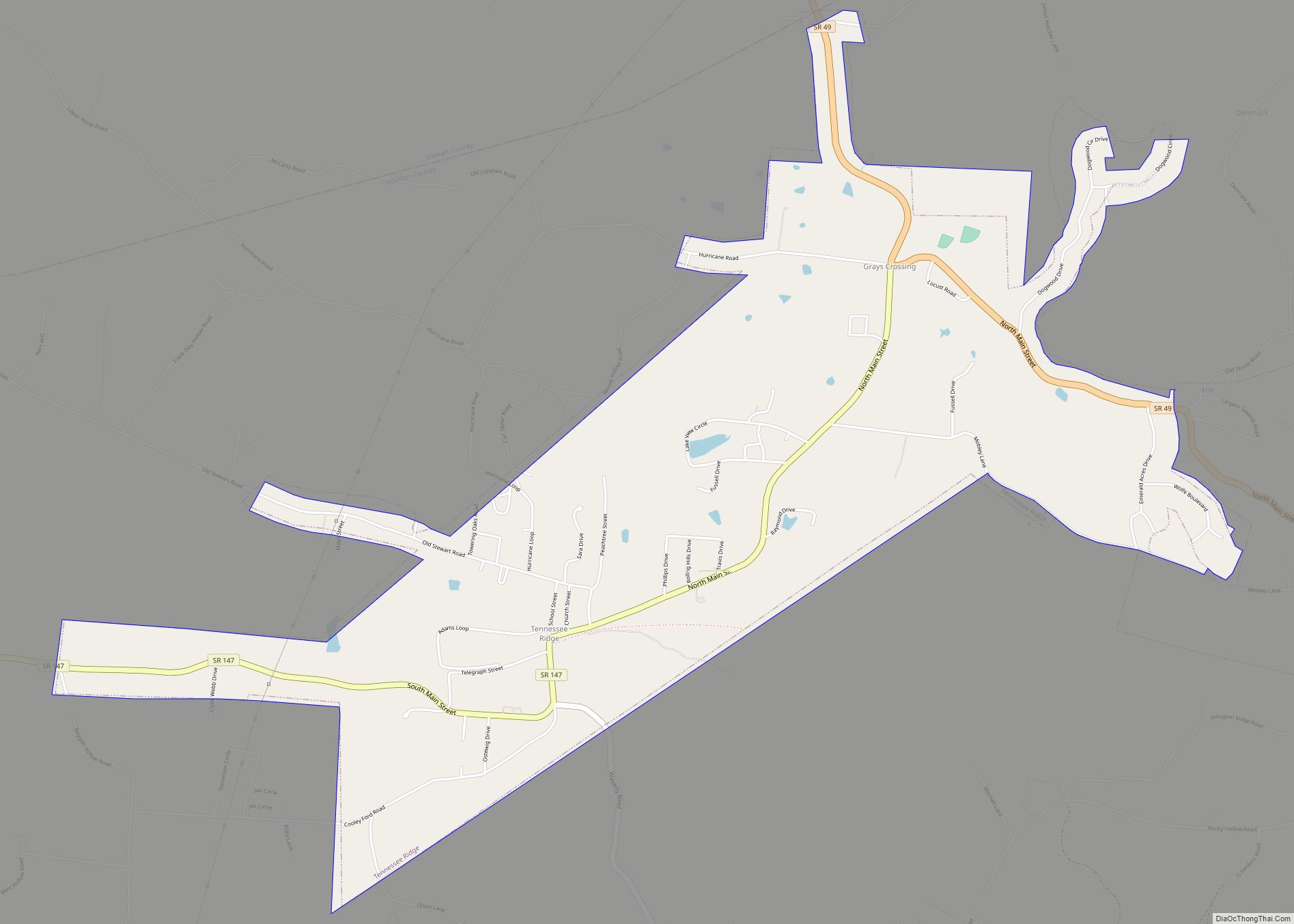
Map of Tennessee State and its subdivision:- Anderson
- Bedford
- Benton
- Bledsoe
- Blount
- Bradley
- Campbell
- Cannon
- Carroll
- Carter
- Cheatham
- Chester
- Claiborne
- Clay
- Cocke
- Coffee
- Crockett
- Cumberland
- Davidson
- Decatur
- DeKalb
- Dickson
- Dyer
- Fayette
- Fentress
- Franklin
- Gibson
- Giles
- Grainger
- Greene
- Grundy
- Hamblen
- Hamilton
- Hancock
- Hardeman
- Hardin
- Hawkins
- Haywood
- Henderson
- Henry
- Hickman
- Houston
- Humphreys
- Jackson
- Jefferson
- Johnson
- Knox
- Lake
- Lauderdale
- Lawrence
- Lewis
- Lincoln
- Loudon
- Macon
- Madison
- Marion
- Marshall
- Maury
- McMinn
- McNairy
- Meigs
- Monroe
- Montgomery
- Moore
- Morgan
- Obion
- Overton
- Perry
- Pickett
- Polk
- Putnam
- Rhea
- Roane
- Robertson
- Rutherford
- Scott
- Sequatchie
- Sevier
- Shelby
- Smith
- Stewart
- Sullivan
- Sumner
- Tipton
- Trousdale
- Unicoi
- Union
- Van Buren
- Warren
- Washington
- Wayne
- Weakley
- White
- Williamson
- Wilson
- Alabama
- Alaska
- Arizona
- Arkansas
- California
- Colorado
- Connecticut
- Delaware
- District of Columbia
- Florida
- Georgia
- Hawaii
- Idaho
- Illinois
- Indiana
- Iowa
- Kansas
- Kentucky
- Louisiana
- Maine
- Maryland
- Massachusetts
- Michigan
- Minnesota
- Mississippi
- Missouri
- Montana
- Nebraska
- Nevada
- New Hampshire
- New Jersey
- New Mexico
- New York
- North Carolina
- North Dakota
- Ohio
- Oklahoma
- Oregon
- Pennsylvania
- Rhode Island
- South Carolina
- South Dakota
- Tennessee
- Texas
- Utah
- Vermont
- Virginia
- Washington
- West Virginia
- Wisconsin
- Wyoming