Overton County is a county located in the U.S. state of Tennessee. As of the 2020 census, the population was 22,511. Its county seat is Livingston. Overton County is part of the Cookeville, TN Micropolitan Statistical Area.
| Name: | Overton County |
|---|---|
| FIPS code: | 47-133 |
| State: | Tennessee |
| Founded: | September 1806 |
| Named for: | John Overton |
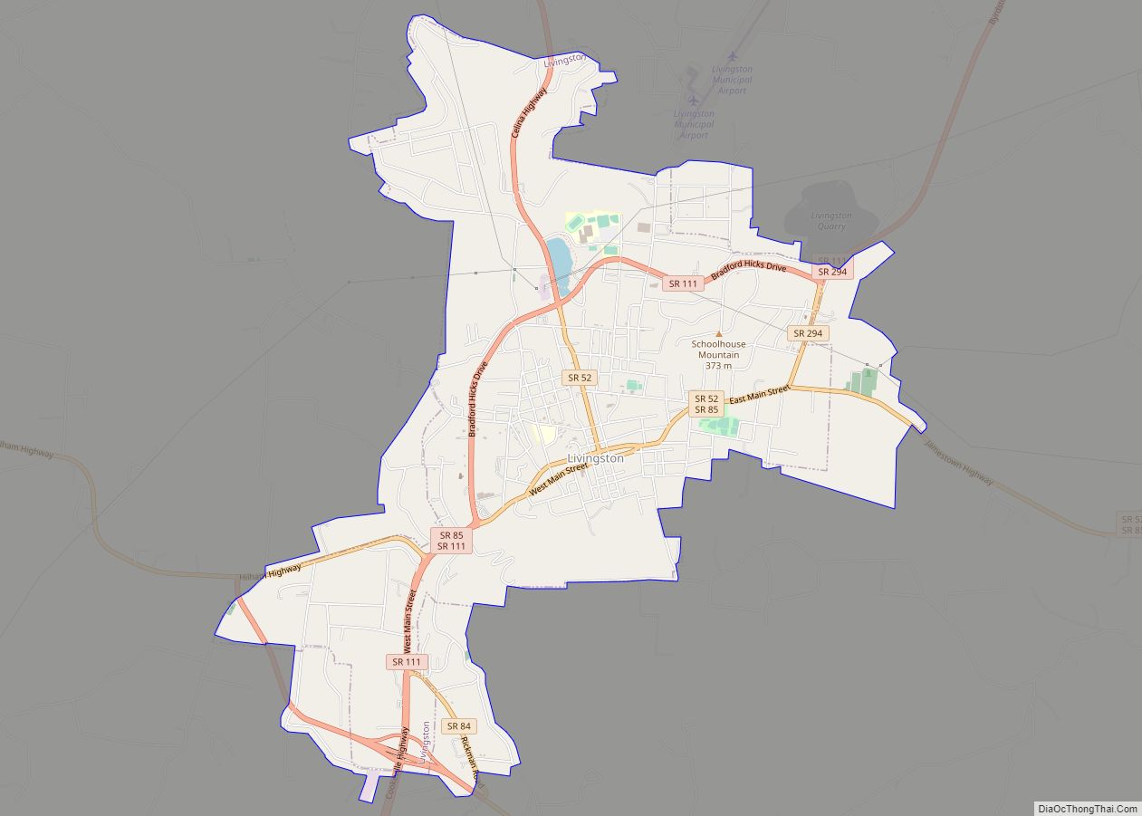
| Seat: | Livingston |
| Largest town: | Livingston |
| Total Area: | 435 sq mi (1,130 km²) |
| Land Area: | 433 sq mi (1,120 km²) |
| Total Population: | 22,511 |
| Population Density: | 51/sq mi (20/km²) |
| Time zone: | UTC−6 (Central) |
| Summer Time Zone (DST): | UTC−5 (CDT) |
| Website: | www.overtoncountytn.com |
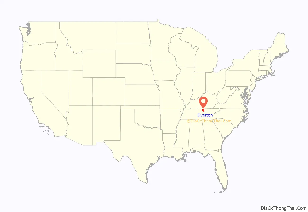
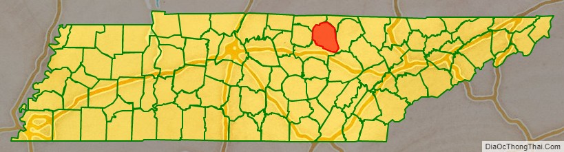
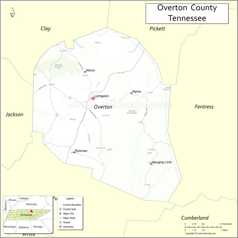
Overton County location map. Where is Overton County?
History
On May 10, 1933, a half-mile wide F4 tornado struck the small community of Beatty Swamps (also referred to as Bethsadia). The tornado destroyed every structure in the town and either killed or injured nearly every inhabitant, with 33 of the 35 deaths occurring in the area. Much of the area was swept clean of debris, a reaper-binder was thrown 500 yards (460 m), and cars were moved hundreds of feet.
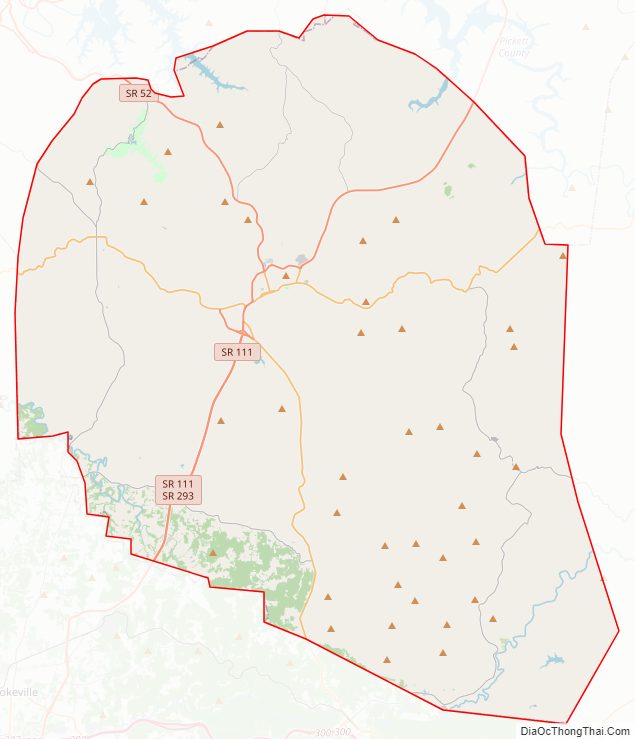
Overton County Road Map
Geography
According to the U.S. Census Bureau, the county has a total area of 435 square miles (1,130 km), of which 433 square miles (1,120 km) is land and 1.4 square miles (3.6 km) (0.3%) is water.
Overton County straddles the Eastern Highland Rim, and generally consists of low, rolling hills divided by narrow creek valleys. The backwaters of Dale Hollow Lake, namely the Mitchell Creek and Big Eagle Creek sections, spill over into the northern part of the county. The County is located on the Cumberland Plateau.
Adjacent counties
- Pickett County (northeast)
- Fentress County (east)
- Putnam County (south)
- Jackson County (west)
- Clay County (northwest)
State protected areas
- Alpine Mountain Wildlife Management Area
- Jackson Swamp Wildlife Management Area
- Standing Stone State Forest (part)
- Standing Stone State Park
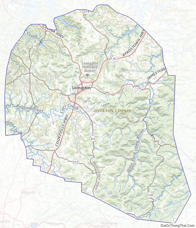
Overton County Topographic Map
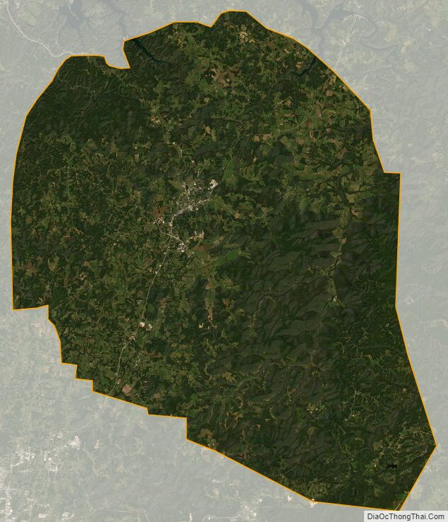
Overton County Satellite Map
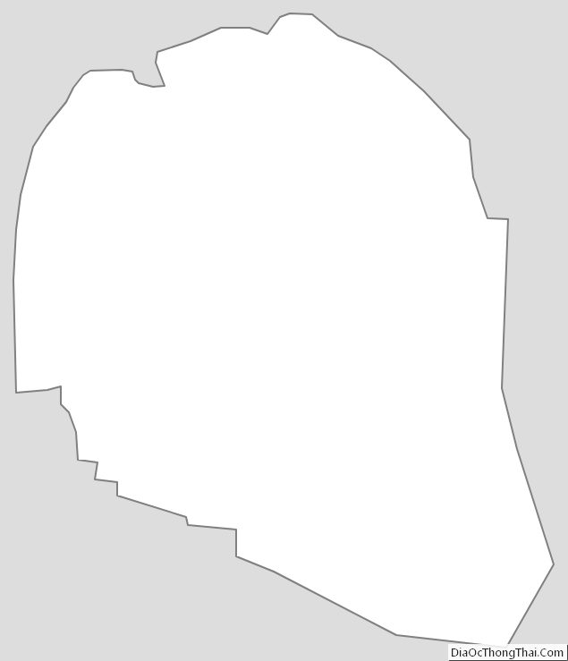
Overton County Outline Map