Jackson County is a county located in the U.S. state of Wisconsin. As of the 2020 census, the population was 21,145. Its county seat is Black River Falls. Jackson County was formed from Crawford County in 1853. It was named for President Andrew Jackson.
| Name: | Jackson County |
|---|---|
| FIPS code: | 55-053 |
| State: | Wisconsin |
| Founded: | 1853 |
| Named for: | Andrew Jackson |
| Seat: | Black River Falls |
| Largest city: | Black River Falls |
| Total Area: | 1,000 sq mi (3,000 km²) |
| Land Area: | 988 sq mi (2,560 km²) |
| Total Population: | 21,145 |
| Population Density: | 21.4/sq mi (8.3/km²) |
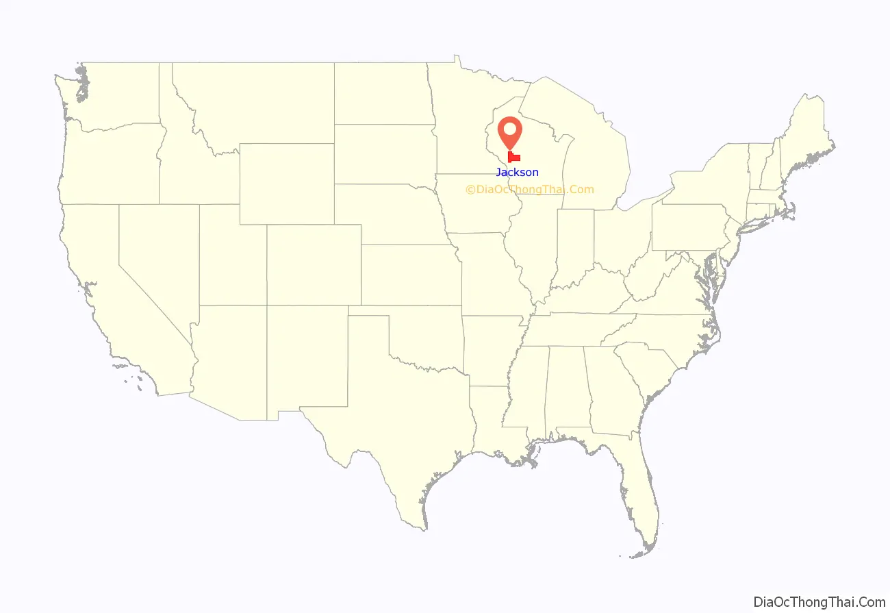
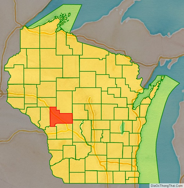
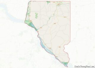
Jackson County location map. Where is Jackson County?
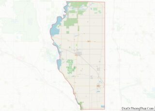
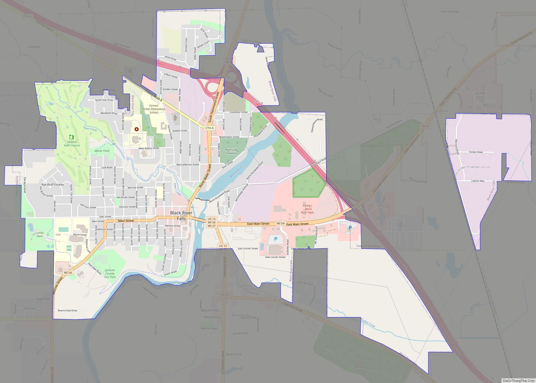
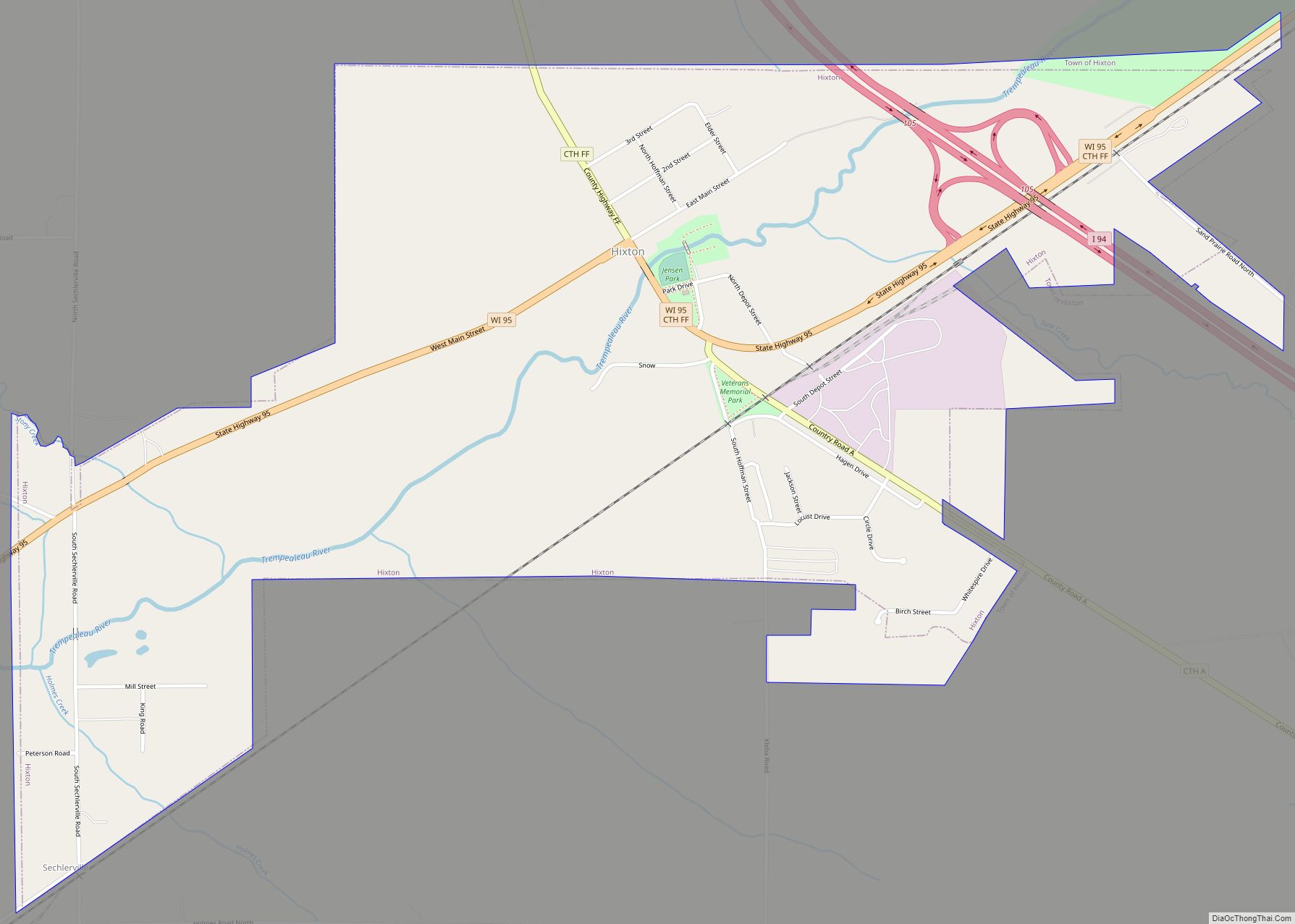
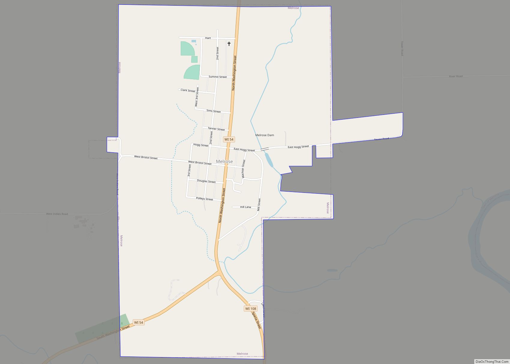
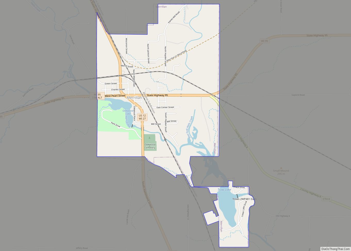
Jackson County Road Map
Geography
According to the U.S. Census Bureau, the county has a total area of 1,000 square miles (2,600 km), of which 988 square miles (2,560 km) is land and 13 square miles (34 km) (1.3%) is water.
Adjacent counties
- Clark County – north
- Wood County – east
- Juneau County – southeast
- Monroe County – south
- La Crosse County – southwest
- Trempealeau County – west
- Eau Claire County – northwest
Major highways
Railroads
- Canadian National
- Union Pacific
Buses
- List of intercity bus stops in Wisconsin
