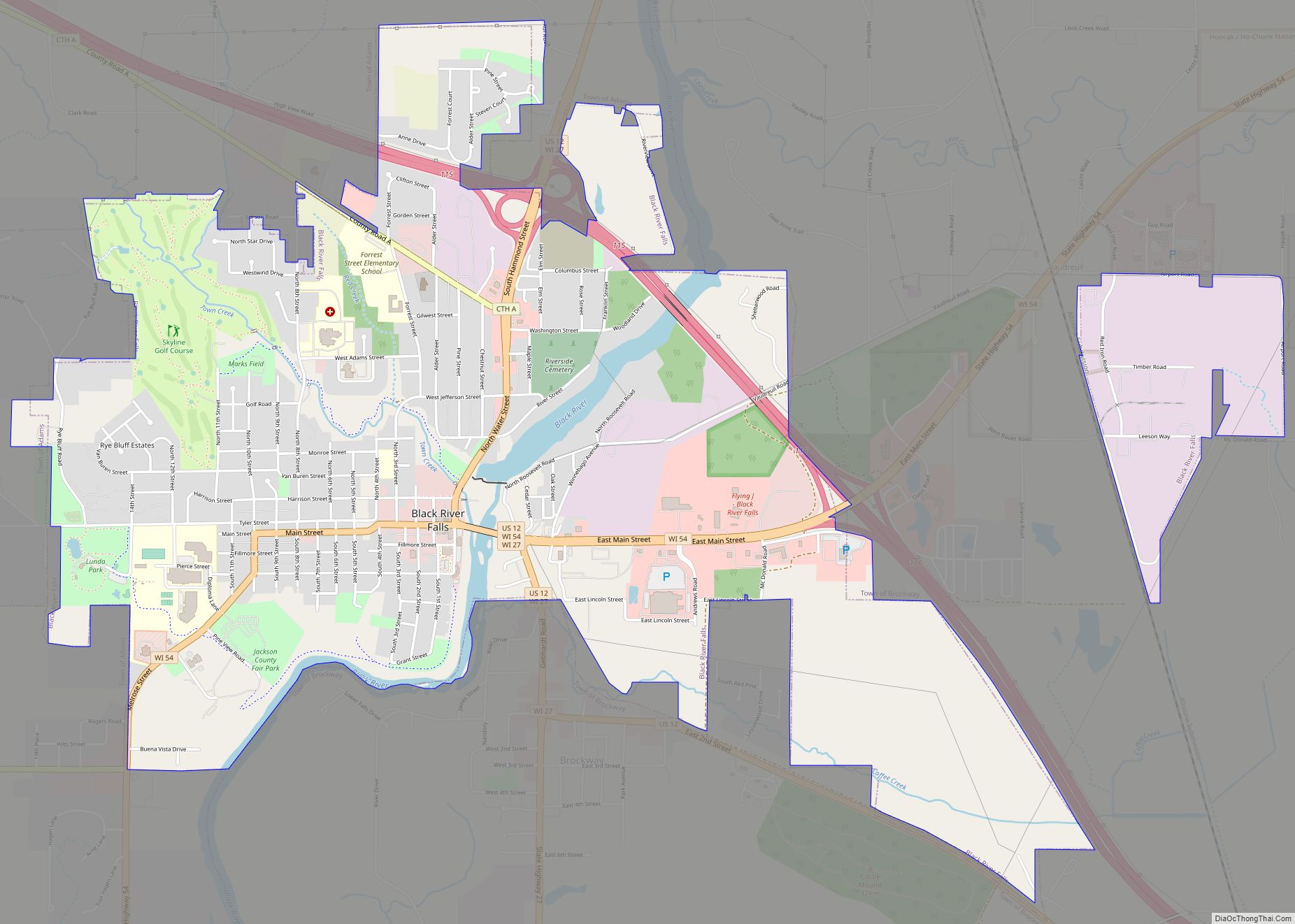
Black River Falls is a city in and the county seat of Jackson County, Wisconsin, United States. The population was 3,523 at the 2020 census. It is home to the administrative center of the Ho-Chunk Nation.
| Name: | Black River Falls city |
|---|---|
| LSAD Code: | 25 |
| LSAD Description: | city (suffix) |
| State: | Wisconsin |
| County: | Jackson County |
| Elevation: | 794 ft (242 m) |
| Total Area: | 4.23 sq mi (10.95 km²) |
| Land Area: | 4.19 sq mi (10.84 km²) |
| Water Area: | 0.04 sq mi (0.10 km²) |
| Total Population: | 3,523 |
| Population Density: | 841.8/sq mi (325/km²) |
| ZIP code: | 54615 |
| FIPS code: | 5507900 |
| GNISfeature ID: | 1561883 |
| Website: | blackriverfalls.us |
Online Interactive Map
Click on ![]() to view map in "full screen" mode.
to view map in "full screen" mode.
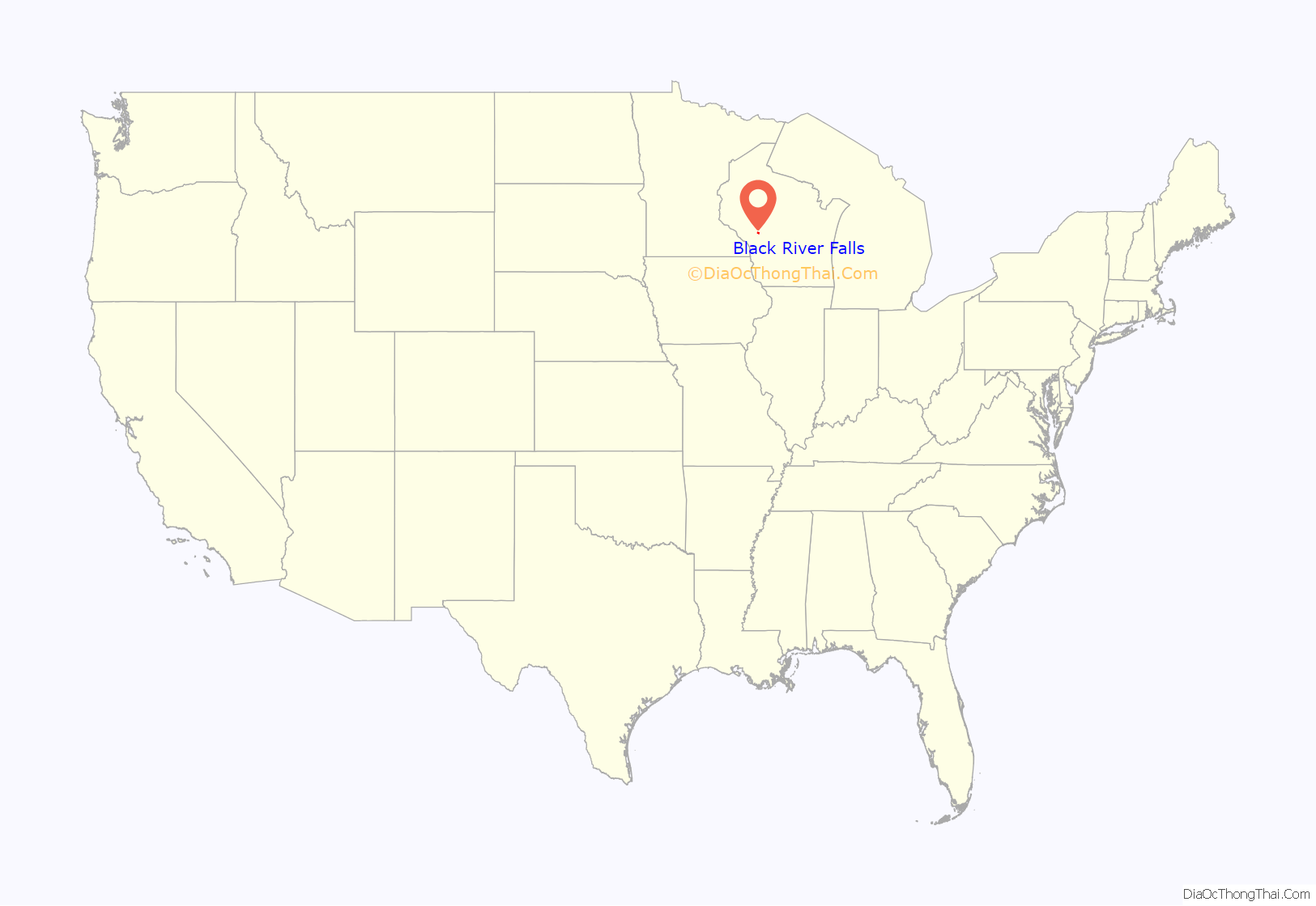
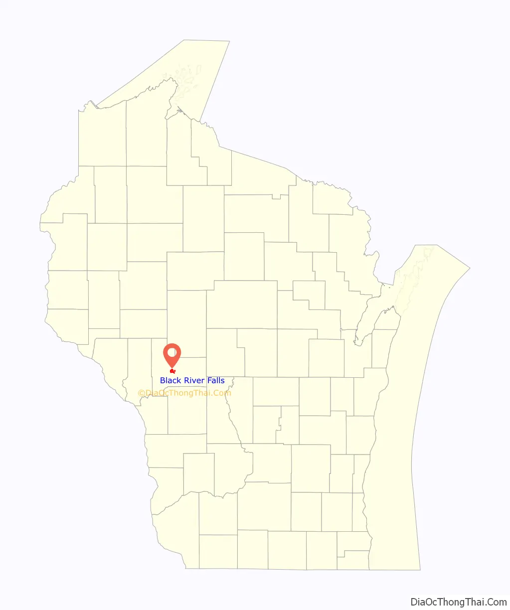
Black River Falls location map. Where is Black River Falls city?
History
Black River Falls was founded to utilize the waterpower of the Black River. As the area was predominantly forest at the time, its primary use was in operating sawmills.
A large monument to Black River Falls’ veterans of World War I, World War II, the Korean War, and the Vietnam War, as well as to local Medal of Honor recipient Mitchell Red Cloud, Jr., was erected near the Chamber of Commerce Building at 101 S. 2nd Street. Named the “Field of Honor”, the attached plaques provide accounts of the veterans’ services. This site is also the start of the four-mile (6.5 km) Foundation Trail, a signed hiking and bike path that circles the eastern part of the community.
Black River Falls is the focus of Michael Lesy’s book Wisconsin Death Trip (1973), which used photographs and newspaper cuttings to highlight the harshness of life in the community during the late nineteenth century and the effects it had on the psychology of the inhabitants.
Black River Falls Road Map
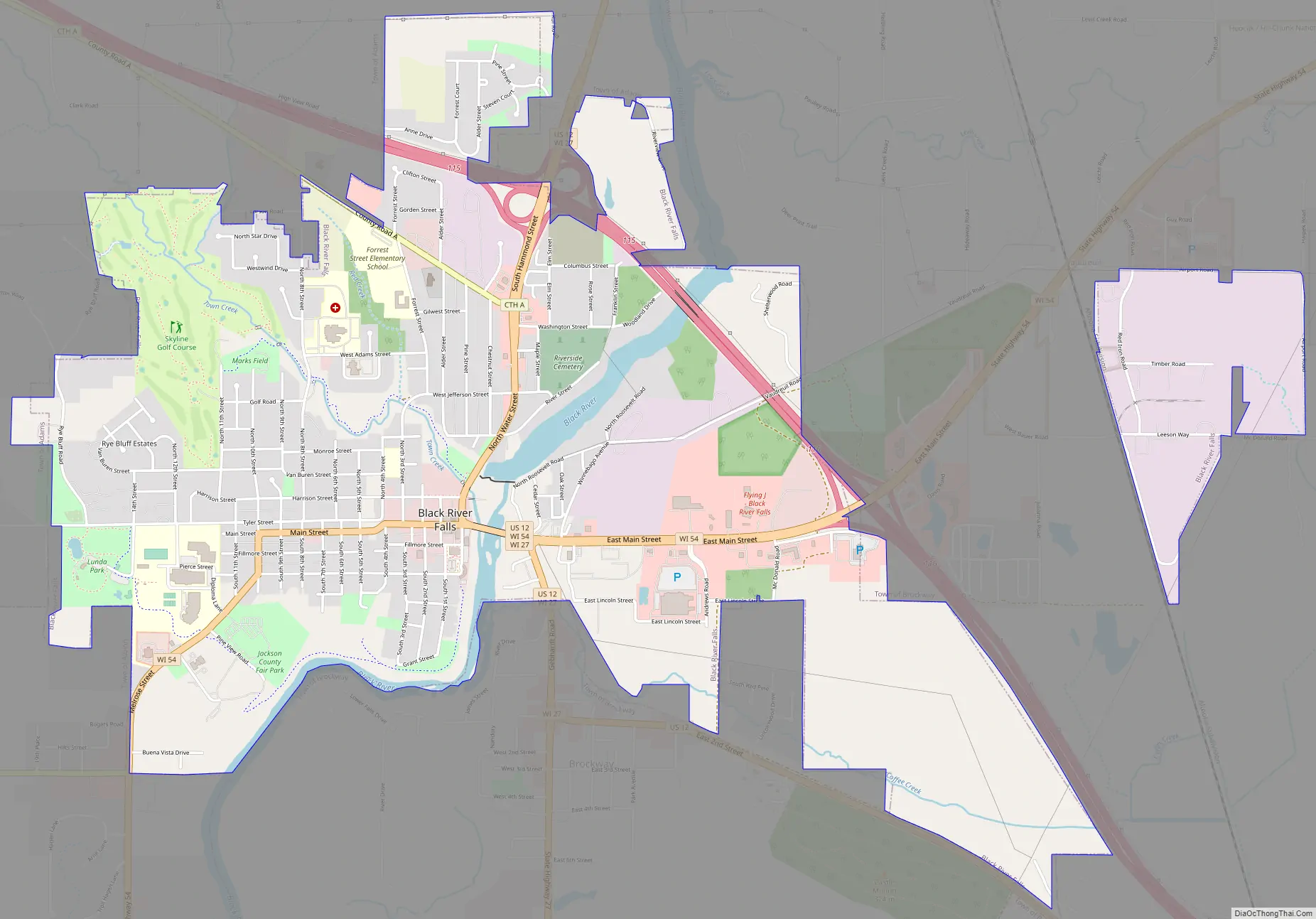
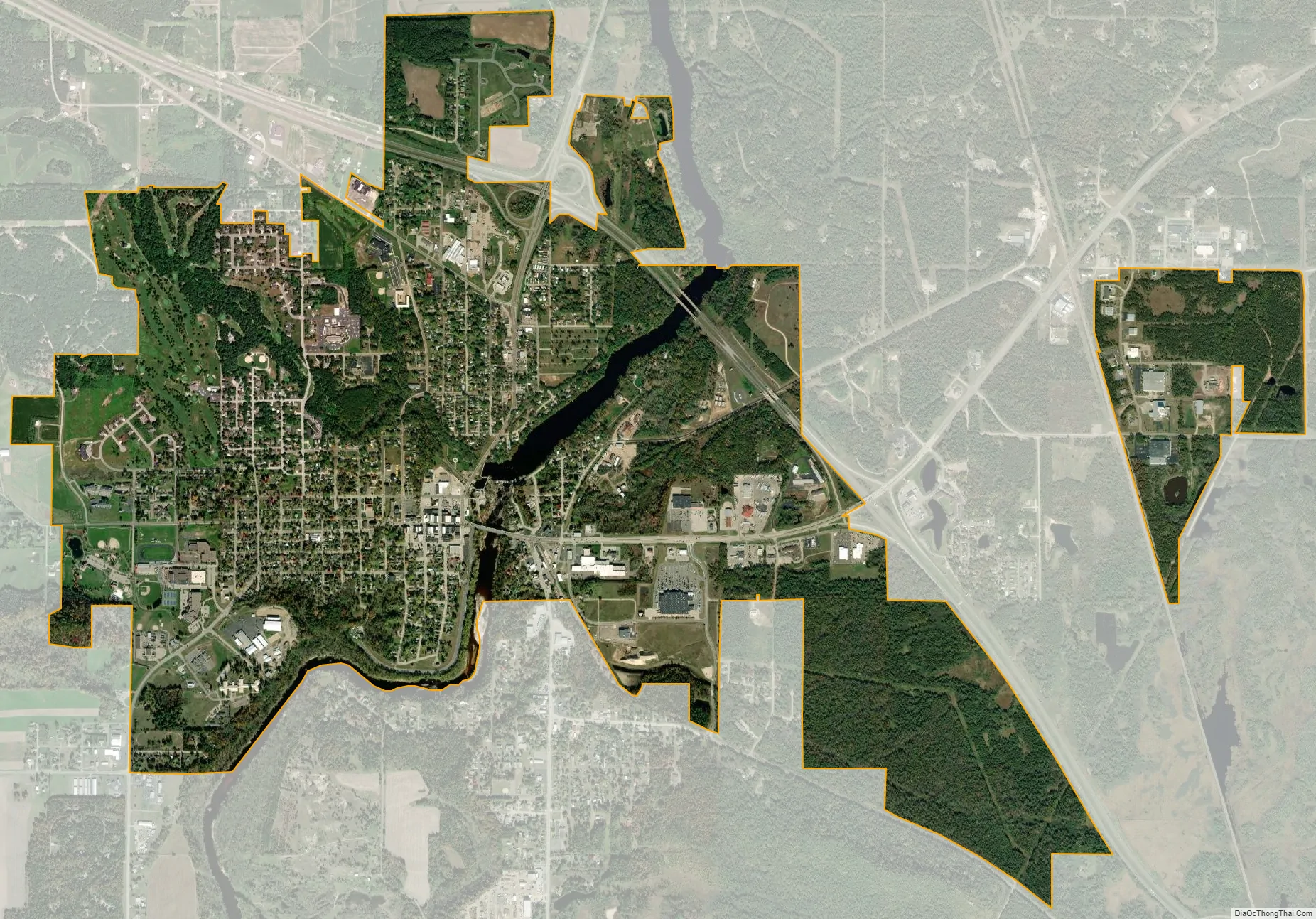
Black River Falls city Satellite Map
Geography
Black River Falls is located at 44°17′50″N 90°50′57″W / 44.29722°N 90.84917°W / 44.29722; -90.84917 (44.297166, -90.849263). According to the United States Census Bureau, the city has a total area of 4.20 square miles (10.88 km), of which, 4.10 square miles (10.62 km) is land and 0.10 square miles (0.26 km) is water.
The city is located on the falls of the Black River at the northeast edge of the Driftless Area, where the river cuts through a region of granite. The falls are covered by a hydroelectric dam, forming the 200-acre (0.81 km) Black River Flowage.
See also
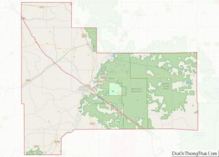
Map of Wisconsin State and its subdivision:- Adams
- Ashland
- Barron
- Bayfield
- Brown
- Buffalo
- Burnett
- Calumet
- Chippewa
- Clark
- Columbia
- Crawford
- Dane
- Dodge
- Door
- Douglas
- Dunn
- Eau Claire
- Florence
- Fond du Lac
- Forest
- Grant
- Green
- Green Lake
- Iowa
- Iron
- Jackson
- Jefferson
- Juneau
- Kenosha
- Kewaunee
- La Crosse
- Lafayette
- Lake Michigan
- Lake Superior
- Langlade
- Lincoln
- Manitowoc
- Marathon
- Marinette
- Marquette
- Menominee
- Milwaukee
- Monroe
- Oconto
- Oneida
- Outagamie
- Ozaukee
- Pepin
- Pierce
- Polk
- Portage
- Price
- Racine
- Richland
- Rock
- Rusk
- Saint Croix
- Sauk
- Sawyer
- Shawano
- Sheboygan
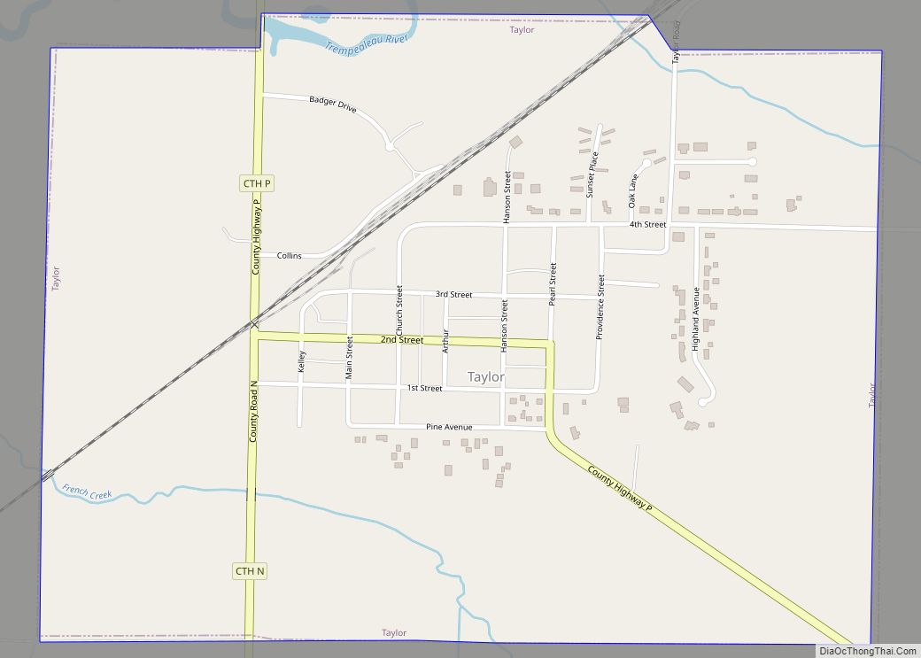
- Taylor
- Trempealeau
- Vernon
- Vilas
- Walworth
- Washburn
- Washington
- Waukesha
- Waupaca
- Waushara
- Winnebago
- Wood
- Alabama
- Alaska
- Arizona
- Arkansas
- California
- Colorado
- Connecticut
- Delaware
- District of Columbia
- Florida
- Georgia
- Hawaii
- Idaho
- Illinois
- Indiana
- Iowa
- Kansas
- Kentucky
- Louisiana
- Maine
- Maryland
- Massachusetts
- Michigan
- Minnesota
- Mississippi
- Missouri
- Montana
- Nebraska
- Nevada
- New Hampshire
- New Jersey
- New Mexico
- New York
- North Carolina
- North Dakota
- Ohio
- Oklahoma
- Oregon
- Pennsylvania
- Rhode Island
- South Carolina
- South Dakota
- Tennessee
- Texas
- Utah
- Vermont
- Virginia
- Washington
- West Virginia
- Wisconsin
- Wyoming