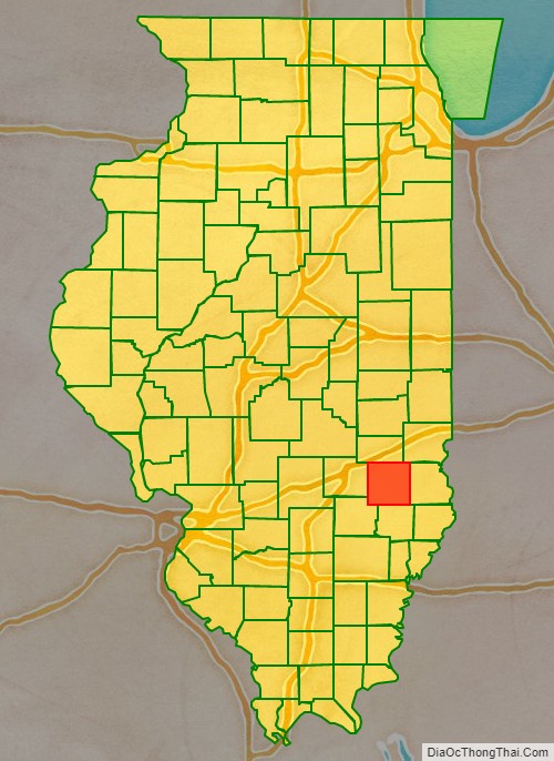
Jasper County is a county located in the U.S. state of Illinois. According to the 2010 census, it has a population of 9,698. Its county seat is Newton.
| Name: | Jasper County |
|---|---|
| FIPS code: | 17-079 |
| State: | Illinois |
| Founded: | 1831 |
| Named for: | William Jasper |
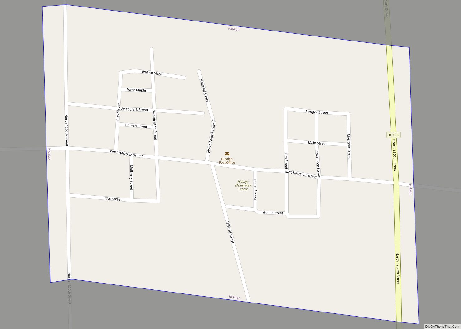
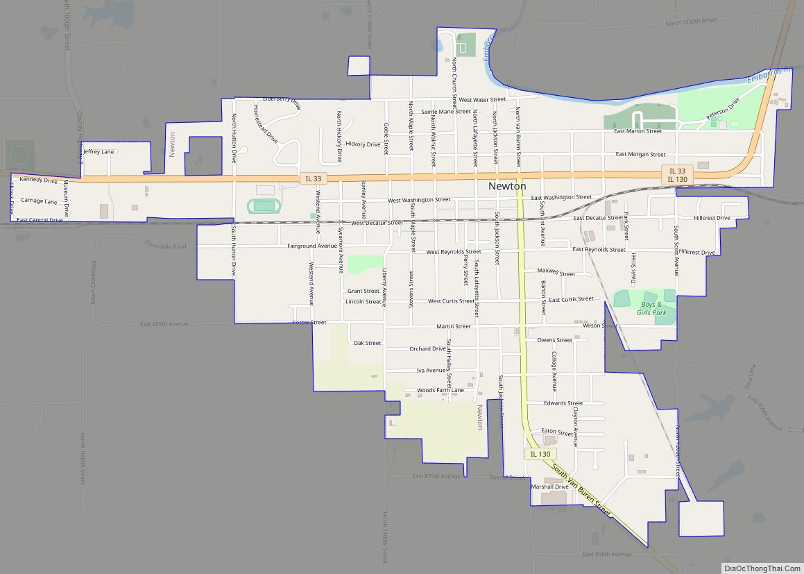
| Seat: | Newton |
| Largest city: | Newton |
| Total Area: | 498 sq mi (1,290 km²) |
| Land Area: | 495 sq mi (1,280 km²) |
| Total Population: | 9,698 |
| Population Density: | 19/sq mi (7.5/km²) |
| Time zone: | UTC−6 (Central) |
| Summer Time Zone (DST): | UTC−5 (CDT) |
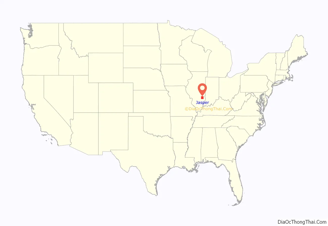
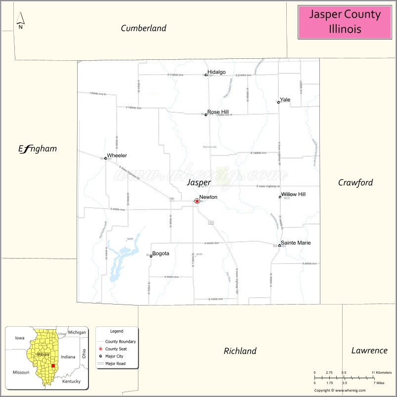
Jasper County location map. Where is Jasper County?
History
Jasper County was formed in 1831 out of Clay and Crawford Counties. It was named for Sgt. William Jasper, a Revolutionary War hero from South Carolina. During the defense of Fort Moultrie in 1776, the staff of the American flag was shot away. Sgt. Jasper attached the flag to a pole and stood on the wall waving the flag at the British until a new staff was erected.
Jasper County at the time of its creation in 1831
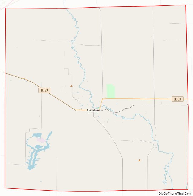
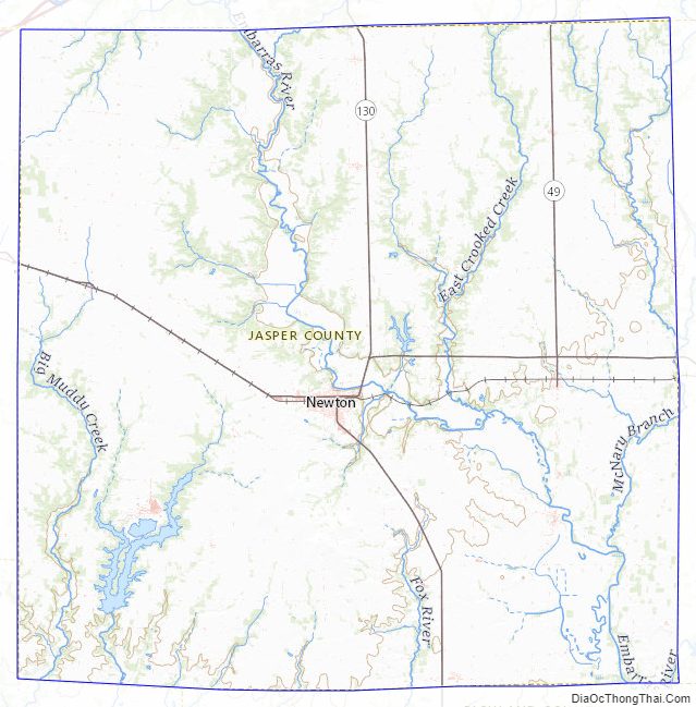
Jasper County Road Map
Geography
According to the U.S. Census Bureau, the county has a total area of 498 square miles (1,290 km), of which 495 square miles (1,280 km) is land and 3.6 square miles (9.3 km) (0.7%) is water.
Climate and weather
In recent years, average temperatures in the county seat of Newton have ranged from a low of 18 °F (−8 °C) in January to a high of 85 °F (29 °C) in July, although a record low of −28 °F (−33 °C) was recorded in January 1994 and a record high of 112 °F (44 °C) was recorded in July 1954. Average monthly precipitation ranged from 2.38 inches (60 mm) in January to 4.39 inches (112 mm) in May.
Adjacent counties
- Cumberland County – north
- Clark County – northeast
- Crawford County – east
- Richland County – south
- Clay County – southwest
- Effingham County – west
Jasper County Topographic Map
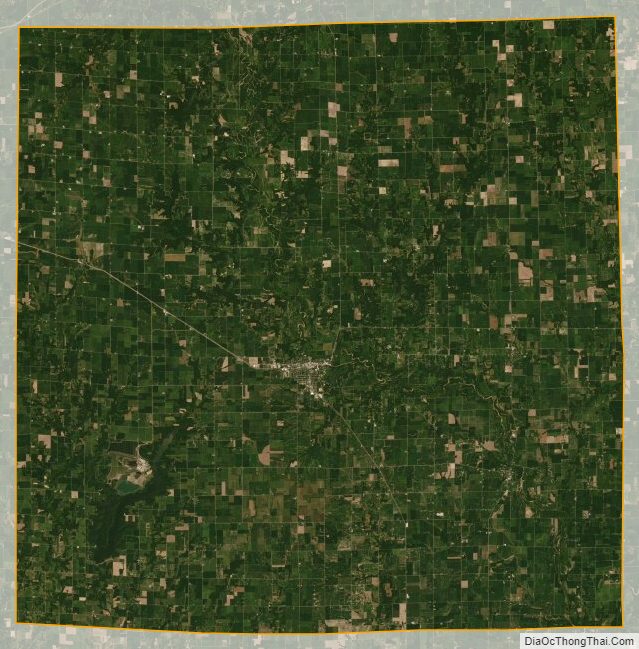
Jasper County Satellite Map
Jasper County Outline Map