Crawford County is a county located in the U.S. state of Illinois. As of the 2010 census, the population was 19,817. Its county seat is Robinson.
| Name: | Crawford County |
|---|---|
| FIPS code: | 17-033 |
| State: | Illinois |
| Founded: | 1816 |
| Named for: | William H. Crawford |
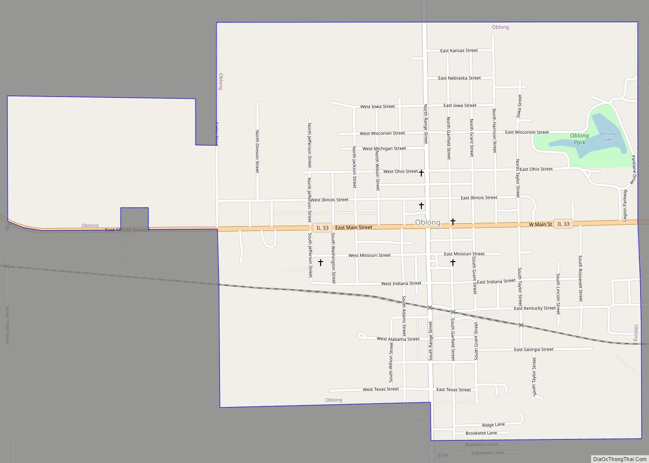
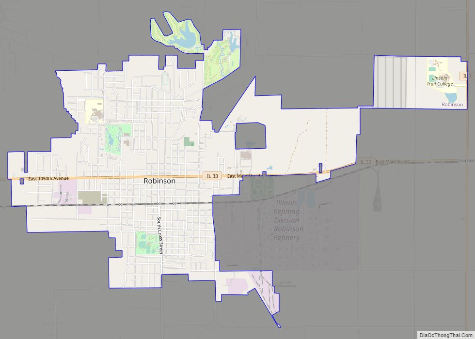
| Seat: | Robinson |
| Largest city: | Robinson |
| Total Area: | 446 sq mi (1,160 km²) |
| Land Area: | 444 sq mi (1,150 km²) |
| Total Population: | 19,817 |
| Population Density: | 44/sq mi (17/km²) |
| Time zone: | UTC−6 (Central) |
| Summer Time Zone (DST): | UTC−5 (CDT) |
| Website: | crawfordcountyil.org |
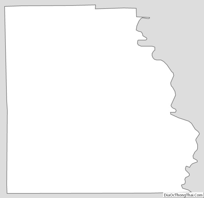
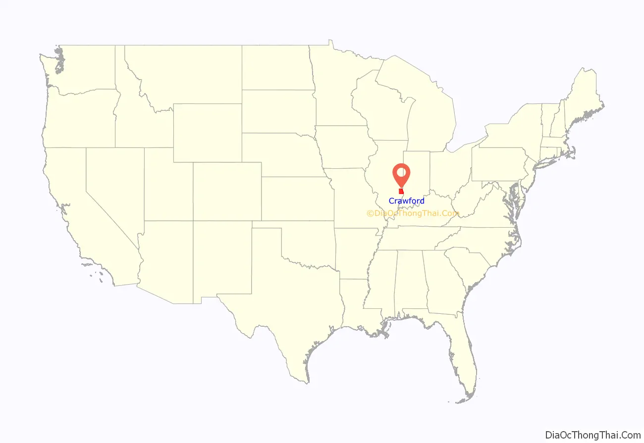
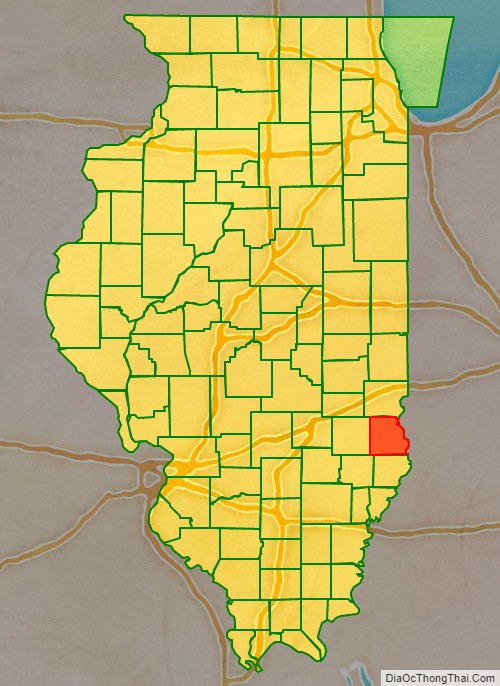
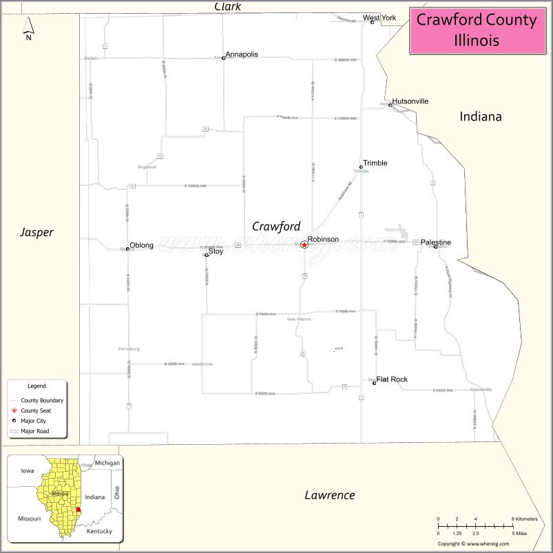
Crawford County location map. Where is Crawford County?
History
Crawford County was formed in the Illinois Territory on December 31, 1816, out of Edwards County. At the time of its formation, it encompassed about one third of the territory, but it was reduced to its present borders by 1831 as it spawned new counties. It was named in honor of William H. Crawford, from Georgia, who was serving as Secretary of War and Secretary of the Treasury at the time. Crawford County was home to several battles between the settlers and Indians, and also the location of the only woman ever hanged in Illinois.
Crawford County when it was created in 1816, extending north to Lake Superior.
Crawford County between 1819 and 1821
Crawford between 1821 and 1824
Crawford between 1824 and 1831
In 1831, the creation of Jasper and Effingham Counties reduced Crawford to its current size.
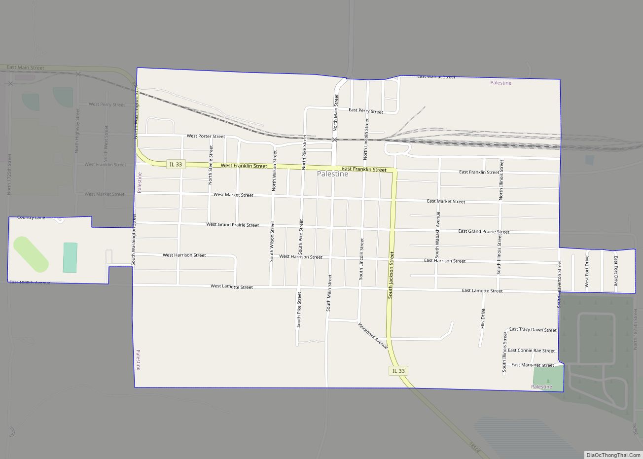
In 1818, the town of Palestine was designated as the county seat. After elections in 1843, a new site was chosen, which would become the town of Robinson.
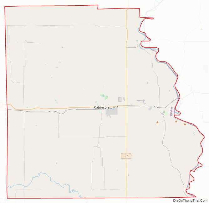
Crawford County Road Map
Geography
According to the U.S. Census Bureau, the county has a total area of 446 square miles (1,160 km), of which 444 square miles (1,150 km) is land and 2.2 square miles (5.7 km) (0.5%) is water. Some of the county’s eastern border is defined by the Wabash River.
Climate and weather
In recent years, average temperatures in the county seat of Robinson have ranged from a low of 21 °F (−6 °C) in January to a high of 89 °F (32 °C) in July, although a record low of −23 °F (−31 °C) was recorded in December 1989 and a record high of 114 °F (46 °C) was recorded in July 1954. Average monthly precipitation ranged from 2.45 inches (62 mm) in January to 4.67 inches (119 mm) in May.
Adjacent counties
- Clark County – north
- Sullivan County, Indiana – east
- Knox County, Indiana – southeast
- Lawrence County – south
- Richland County – southwest
- Jasper County – west
Major highways
- Illinois Route 1
- Illinois Route 33
Crawford County Topographic Map
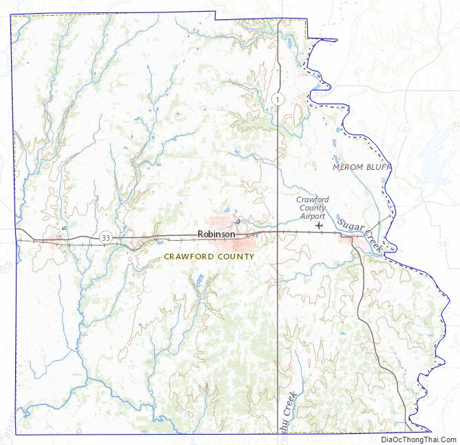
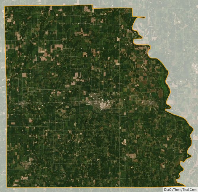
Crawford County Satellite Map
Crawford County Outline Map