Jasper County is a county in the U.S. state of Iowa. As of the 2020 census, the population was 37,813. The county seat is Newton. The county was organized in 1846 and is named after Sergeant William Jasper, a Revolutionary War hero.
Jasper County is part of the Des Moines–West Des Moines, IA Metropolitan Statistical Area.
| Name: | Jasper County |
|---|---|
| FIPS code: | 19-099 |
| State: | Iowa |
| Founded: | 1846 |
| Named for: | William Jasper |
| Seat: | Newton |
| Largest city: | Newton |
| Total Area: | 733 sq mi (1,900 km²) |
| Land Area: | 730 sq mi (1,900 km²) |
| Total Population: | 37,813 |
| Population Density: | 52/sq mi (20/km²) |
| Time zone: | UTC−6 (Central) |
| Summer Time Zone (DST): | UTC−5 (CDT) |
| Website: | www.co.jasper.ia.us |
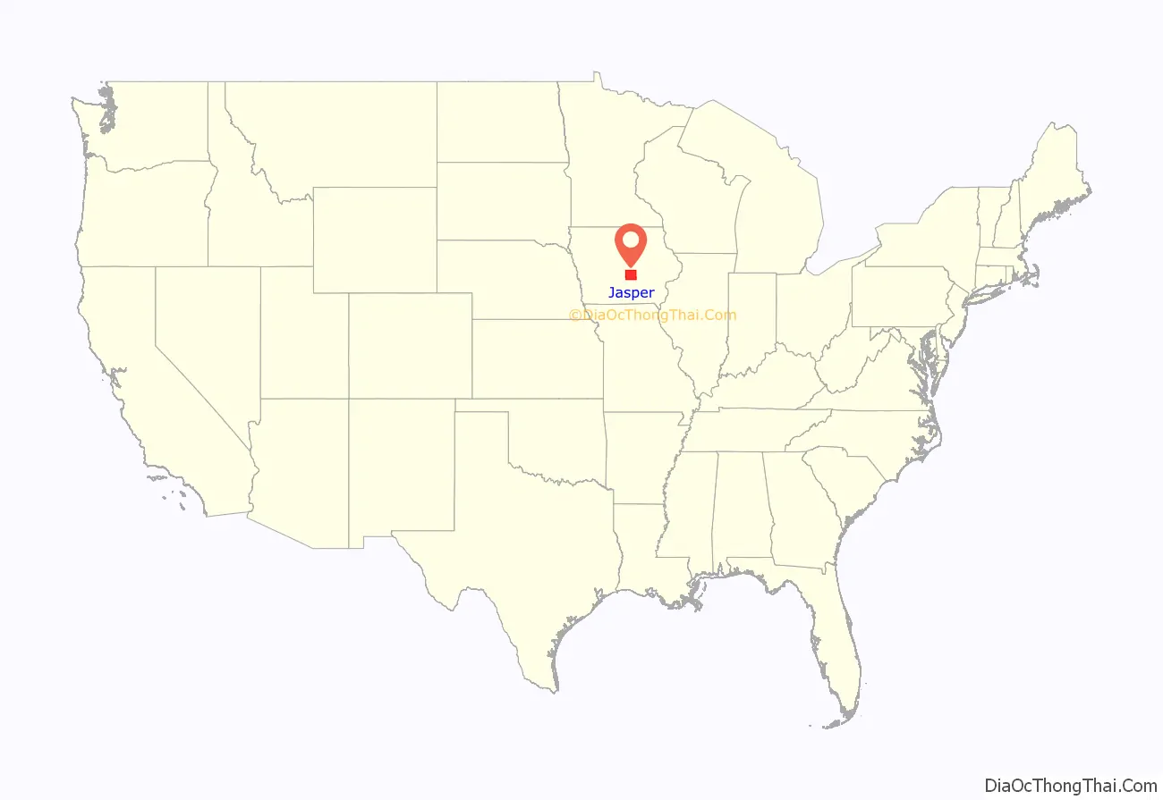
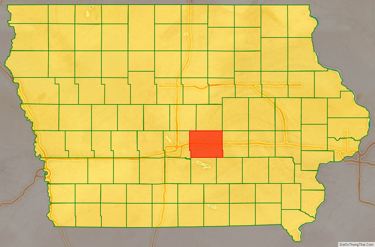
Jasper County location map. Where is Jasper County?
Jasper County Road Map
Geography
According to the U.S. Census Bureau, the county has a total area of 733 square miles (1,900 km), of which 730 square miles (1,900 km) is land and 2.5 square miles (6.5 km) (0.3%) is water. The North and South Skunk River flow through the county. Bodies of water include Lake Mariposa and Rock Creek.
Major highways
- Interstate 80
- U.S. Highway 6
- U.S. Highway 65
- Iowa Highway 14
- Iowa Highway 117
- Iowa Highway 163
- Iowa Highway 224
- Iowa Highway 330
Transit
- List of intercity bus stops in Iowa
Adjacent counties
- Marshall County (north)
- Poweshiek County (east)
- Mahaska County (southeast)
- Marion County (south)
- Polk County (west)
- Story County (northwest)
