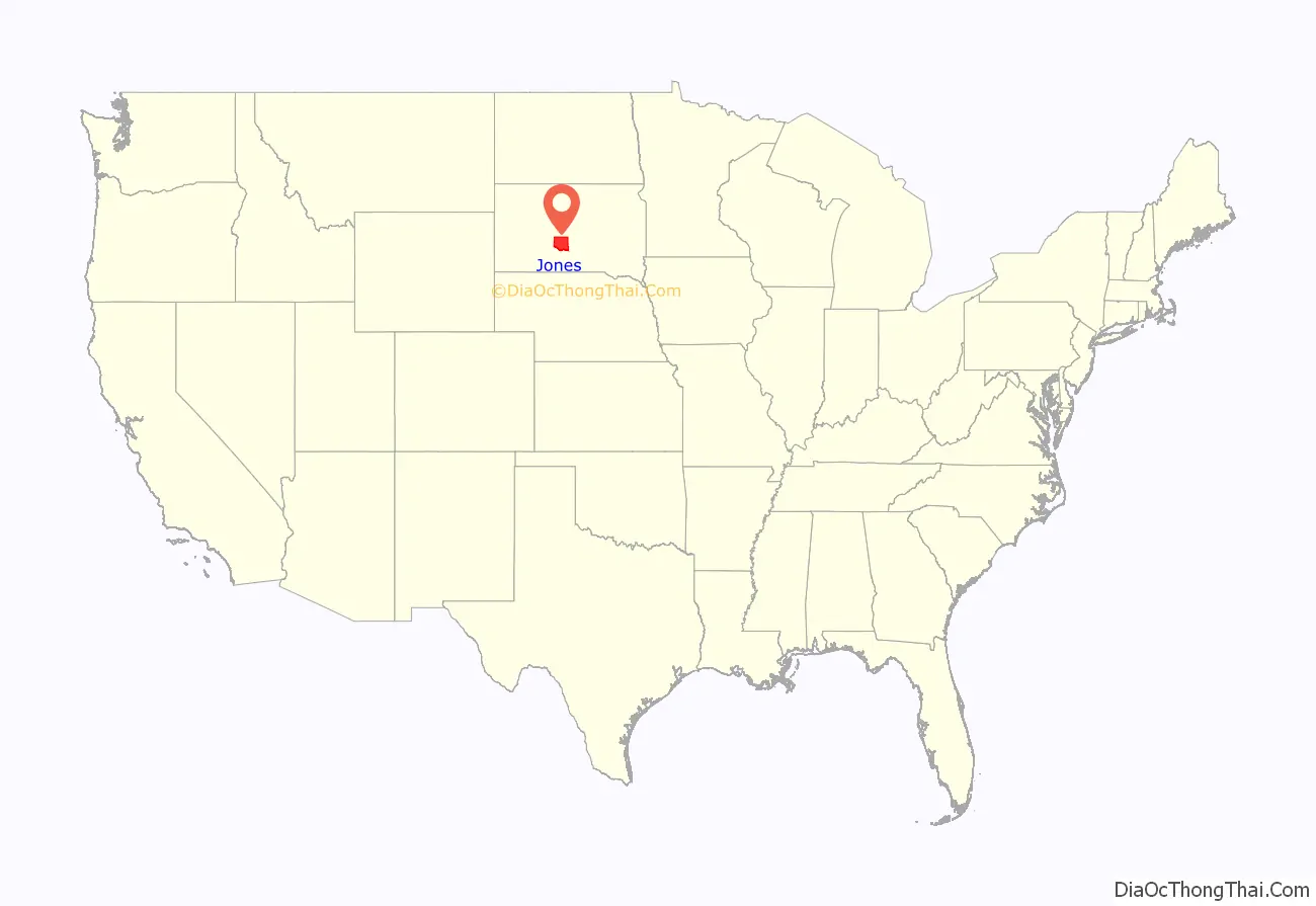
Jones County is a county in the U.S. state of South Dakota. As of the 2020 census, the population was 917, making it the least populous county in South Dakota. Its county seat is Murdo. Created in 1916 and organized in 1917, it is the most recently established county in South Dakota. It was named after Granville Whittington Jones, an Arkansas-born clergyman/lawyer, who moved to Chamberlain, SD and became a noted Chautauqua speaker.
| Name: | Jones County |
|---|---|
| FIPS code: | 46-075 |
| State: | South Dakota |
| Founded: | 1916 |
| Named for: | George Wallace Jones |
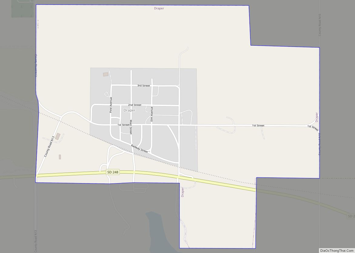
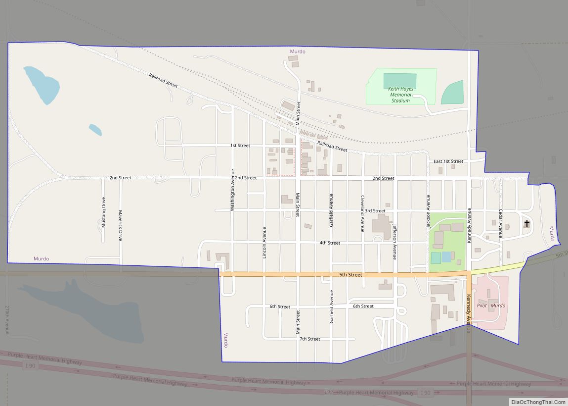
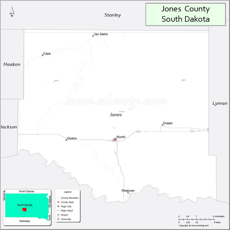
| Seat: | Murdo |
| Largest city: | Murdo |
| Total Area: | 971 sq mi (2,510 km²) |
| Land Area: | 970 sq mi (2,500 km²) |
| Total Population: | 917 |
| Population Density: | 0.94/sq mi (0.36/km²) |
| Time zone: | UTC−6 (Central) |
| Summer Time Zone (DST): | UTC−5 (CDT) |
Jones County location map. Where is Jones County?
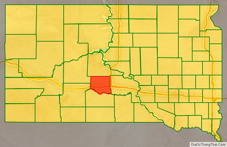
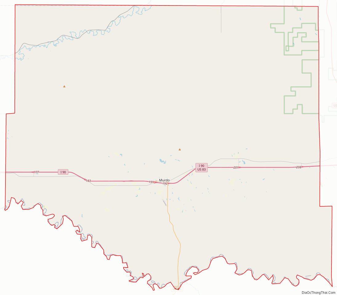
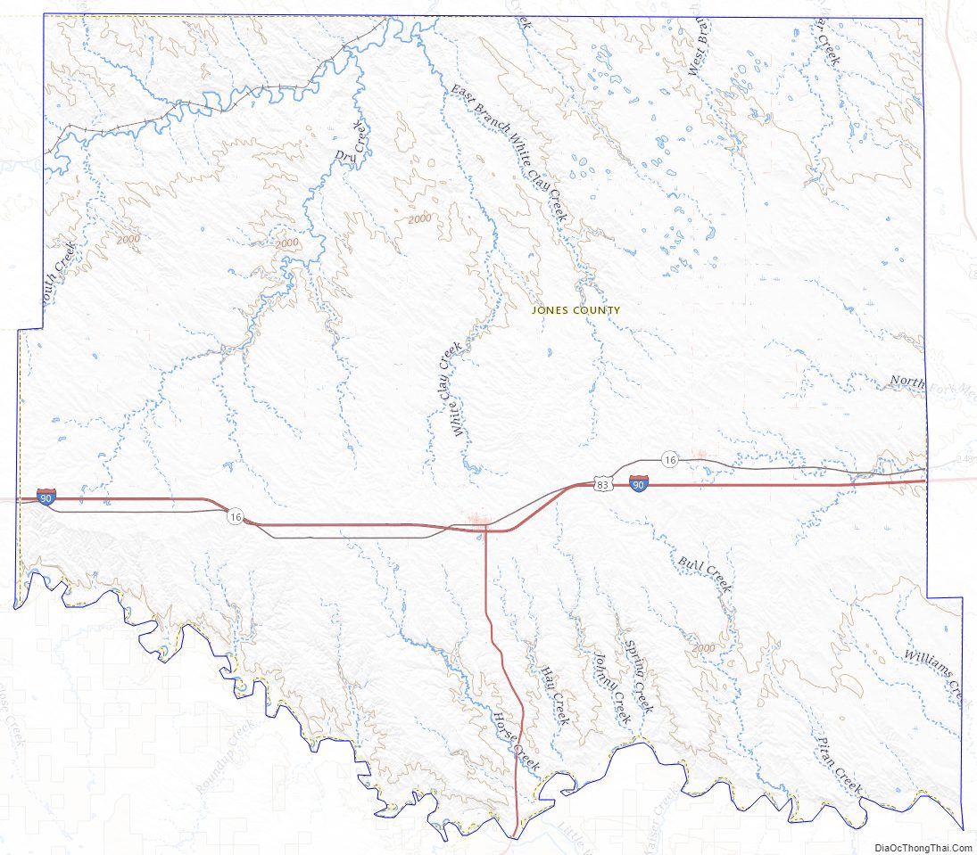
Jones County Road Map
Geography
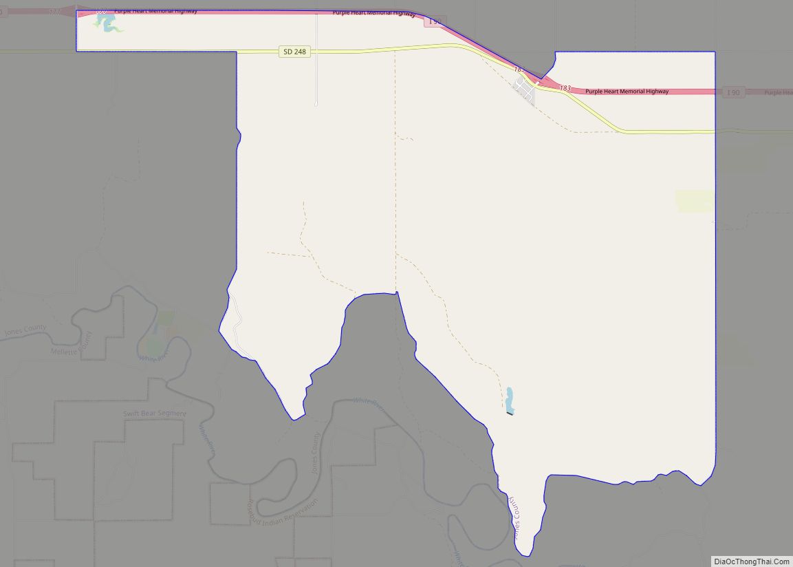
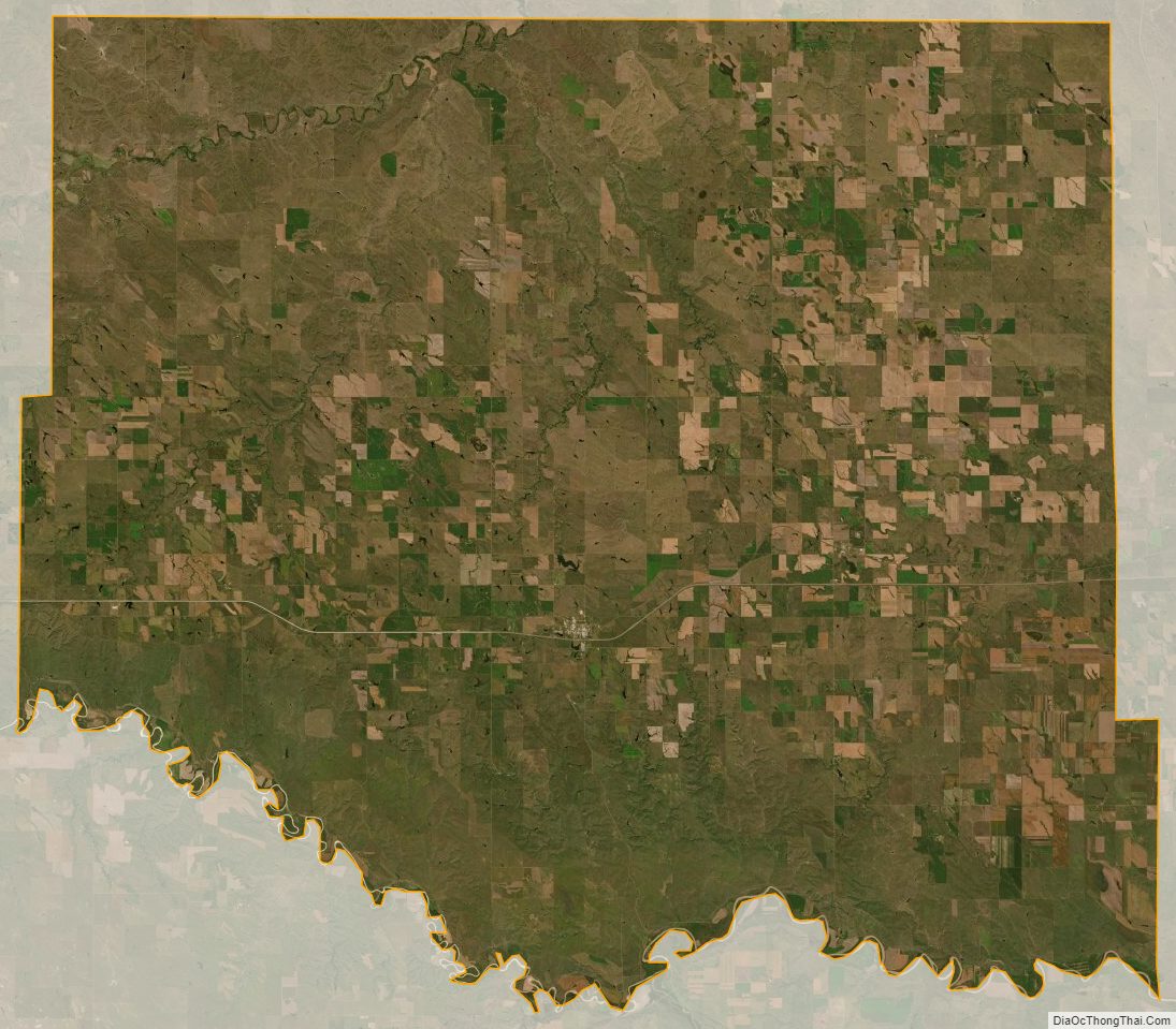
The terrain of Jones County consists of semi-arid rolling hills, partially devoted to agriculture. The Bad River flows north easterly through the northwest corner of the county, and the White River forms the county’s southern boundary. The southern areas of the county are carved with gullies and drainages flowing to the White River. The terrain generally slopes to the northeast, and its highest point is on the lower western boundary, at 2,444′ (745m) ASL. The county has a total area of 971 square miles (2,510 km), of which 970 square miles (2,500 km) is land and 1.2 square miles (3.1 km) (0.1%) is water.
The eastern portion of South Dakota’s counties (48 of 66) observe Central Time; the western counties (18 of 66) observe Mountain Time. Jones County is the westernmost of the SD counties to observe Central Time.
Major highways
- Interstate 90
- U.S. Highway 83
Adjacent counties
- Stanley County – north
- Lyman County – east
- Mellette County – south
- Jackson County – southwest (observes Mountain Time)
- Haakon County – northwest (observes Mountain Time)
Protected area
- Buxcel State Game Production Area
- Fort Pierre National Grassland (part)
Lakes
- Sheriff Reservoir
Jones County Topographic Map
Jones County Satellite Map
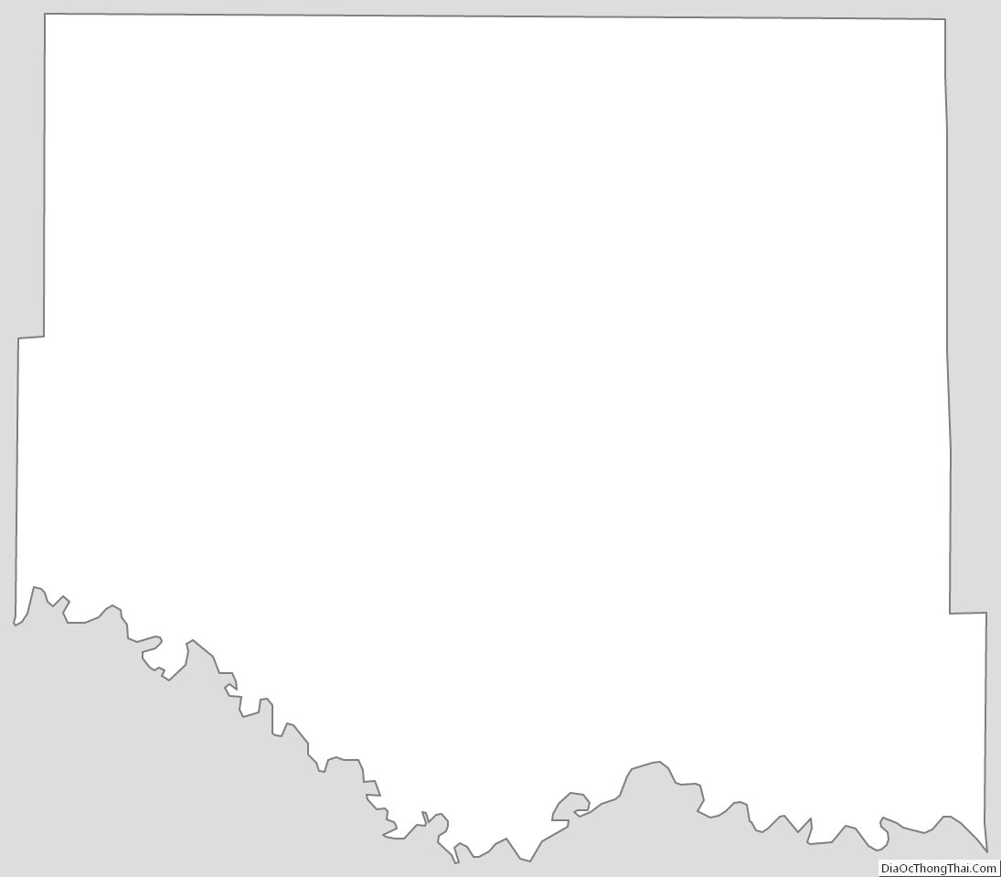
Jones County Outline Map