Haakon County is a county in the U.S. state of South Dakota. As of the 2020 census, the population was 1,872. Its county seat is Philip.
| Name: | Haakon County |
|---|---|
| FIPS code: | 46-055 |
| State: | South Dakota |
| Founded: | 1914 |
| Named for: | Haakon VII of Norway |
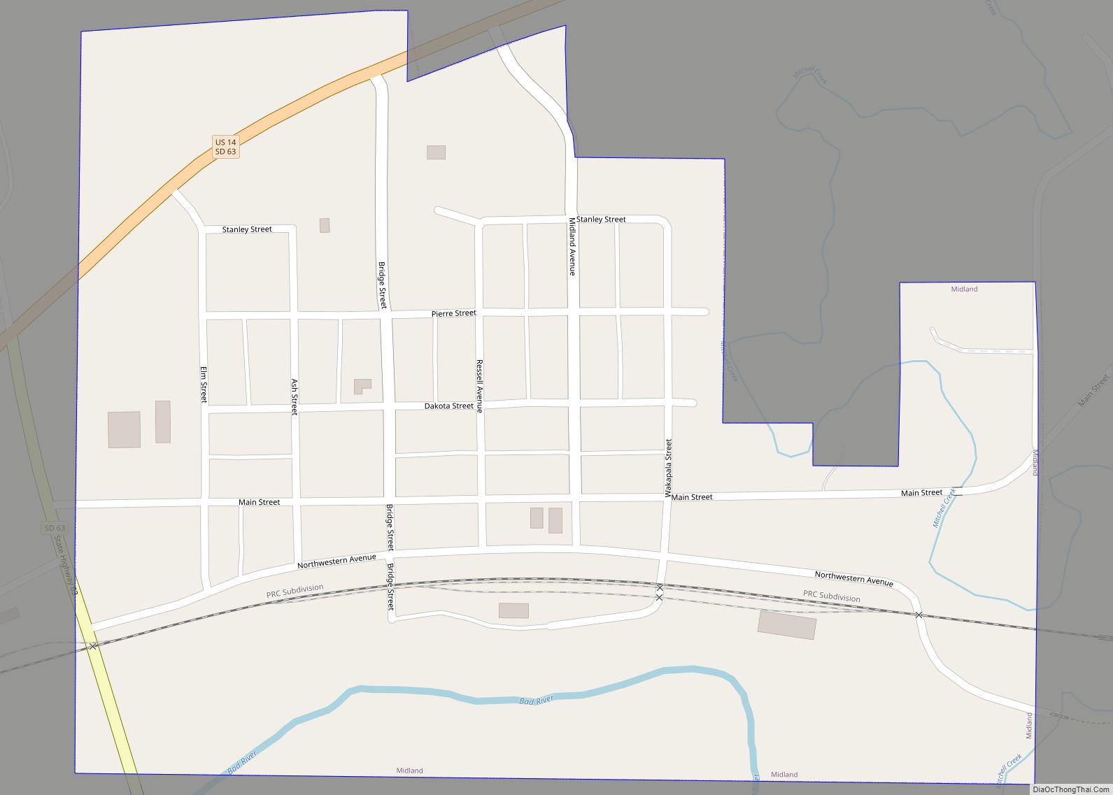
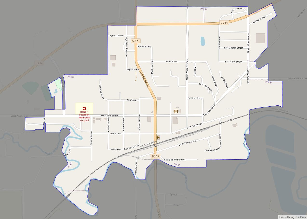
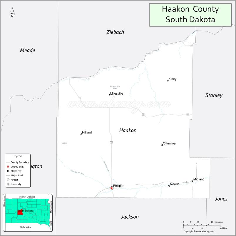
| Seat: | Philip |
| Largest city: | Philip |
| Total Area: | 1,827 sq mi (4,730 km²) |
| Land Area: | 1,811 sq mi (4,690 km²) |
| Total Population: | 1,872 |
| Population Density: | 1.0/sq mi (0.40/km²) |
| Time zone: | UTC−7 (Mountain) |
| Summer Time Zone (DST): | UTC−6 (MDT) |
| Website: | haakon.sdcounties.org |
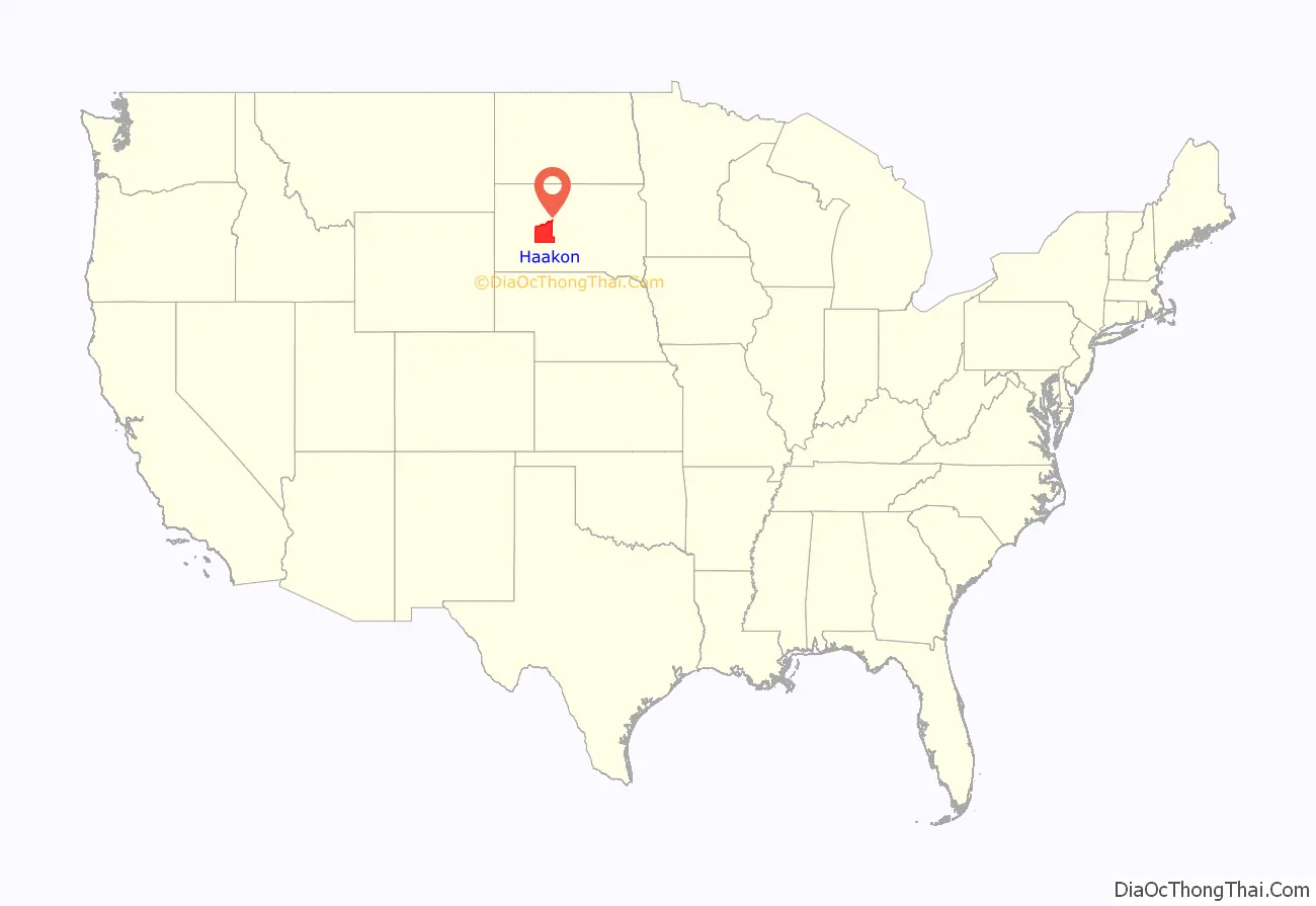
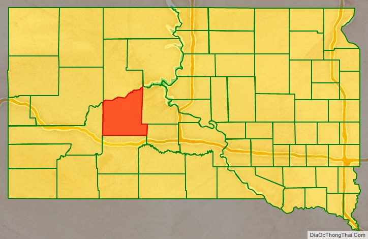
Haakon County location map. Where is Haakon County?
History
The county was created in 1914 and organized in 1915, and was formed from the original counties of Nowlin and most of Sterling, which had previously been absorbed by Stanley County. It is named for Haakon VII, who became king of Norway in 1905. It is the only county in South Dakota named for a non-American person and is one of only nine counties in South Dakota named for persons who did not live in South Dakota. Most of South Dakota’s counties are named for early South Dakota officials or legislators, or for physical features (Fall River and Lake), or are derived from Native American words (Minnehaha and Yankton), or from counties in other states (Jones and Walworth), with one (Aurora) named for a Roman goddess, one for an animal (Buffalo), and one (Union) for a concept.
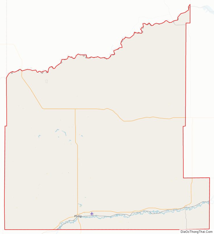
Haakon County Road Map
Geography
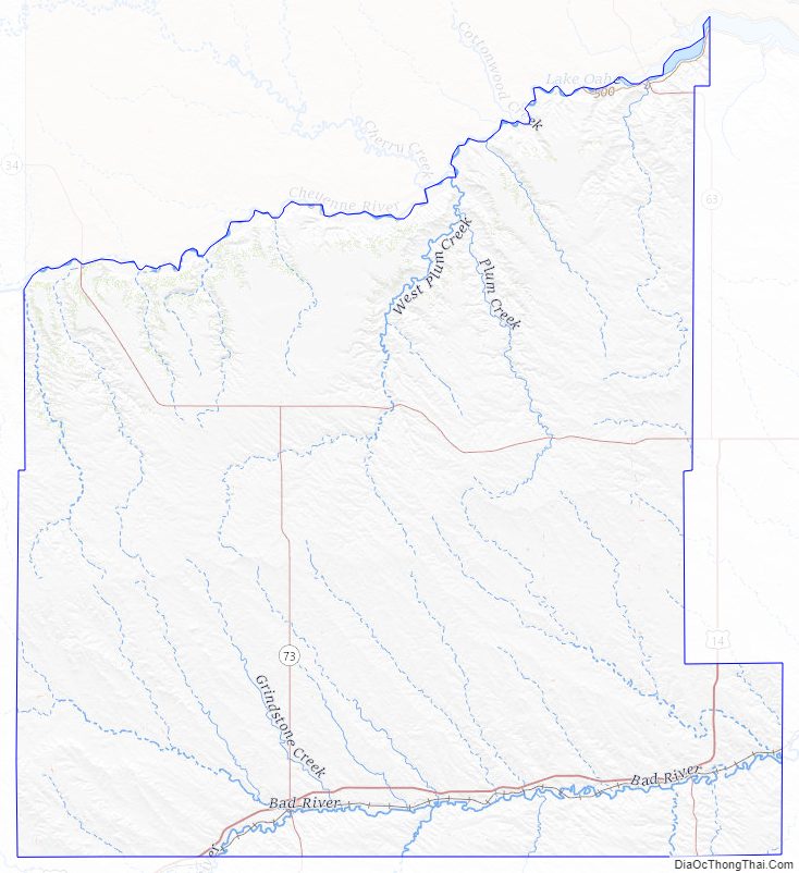
The terrain of Haakon County consists of semi-arid rolling hills, carved with gullies and drainages, partially devoted to agriculture. The Cheyenne River, a tributary of the Missouri River, flows northeastward along the county’s north boundary line, and the Bad River flows east-northeastward through the lower part of the county, both heading for their discharge points into the Missouri. The terrain slopes to the northeast, and its highest point is near the midpoint of its western boundary line, at 2,802′ (854m) ASL.
Haakon County has a total area of 1,827 square miles (4,730 km), of which 1,811 square miles (4,690 km) is land and 16 square miles (41 km) (0.9%) is water.
The eastern portion of South Dakota’s counties (48 of 66) observe Central Time; the western counties (18 of 66) observe Mountain Time. Haakon County is the easternmost of the SD counties to observe Mountain Time.
Major highways
- U.S. Highway 14
- South Dakota Highway 34
- South Dakota Highway 63
- South Dakota Highway 73
Adjacent counties
- Ziebach County – north
- Stanley County – east
- Jones County – southeast (observes Central Time)
- Jackson County – south
- Pennington County – west
Protected areas
- Billsburg State Game Production Area
- Cheyenne State Game Production Area (part)
Lakes
- Waggoner Lake
Haakon County Topographic Map
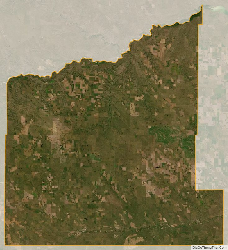
Haakon County Satellite Map
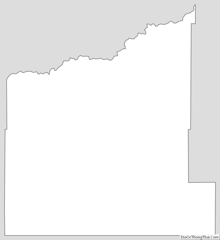
Haakon County Outline Map