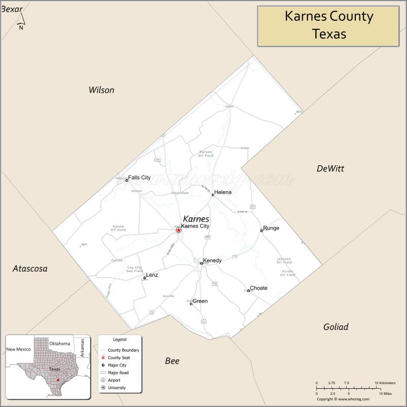
Karnes County is a county in the U.S. state of Texas. As of the 2020 census, the population was 14,710. Its county seat is Karnes City. The county is named for Henry Karnes, a soldier in the Texas Revolution. The former San Antonio and Aransas Pass Railway passed through Karnes County in its connection linking San Antonio with Corpus Christi.
| Name: | Karnes County |
|---|---|
| FIPS code: | 48-255 |
| State: | Texas |
| Founded: | February 4, 1854 |
| Named for: | Henry Karnes |
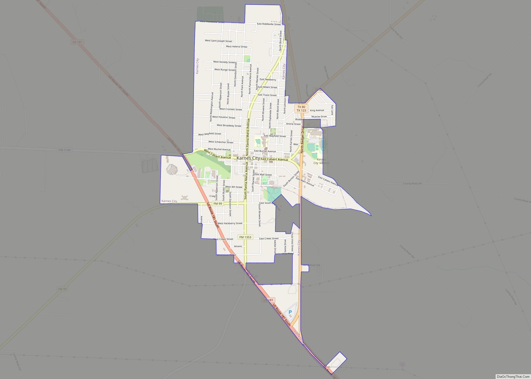
| Seat: | Karnes City |
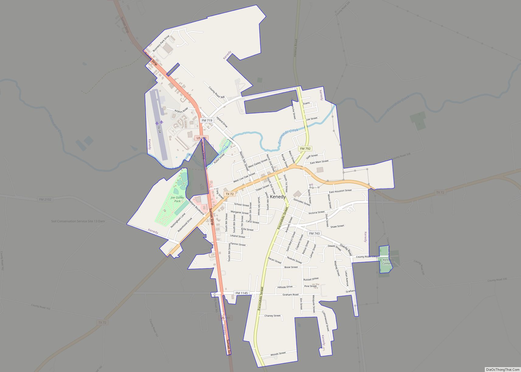
| Largest city: | Kenedy |
| Total Area: | 754 sq mi (1,950 km²) |
| Land Area: | 748 sq mi (1,940 km²) |
| Total Population: | 14,710 |
| Population Density: | 20/sq mi (7.5/km²) |
| Time zone: | UTC−6 (Central) |
| Summer Time Zone (DST): | UTC−5 (CDT) |
| Website: | www.co.karnes.tx.us |
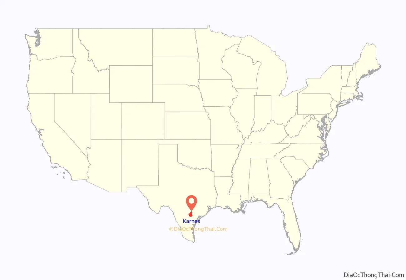
Karnes County location map. Where is Karnes County?
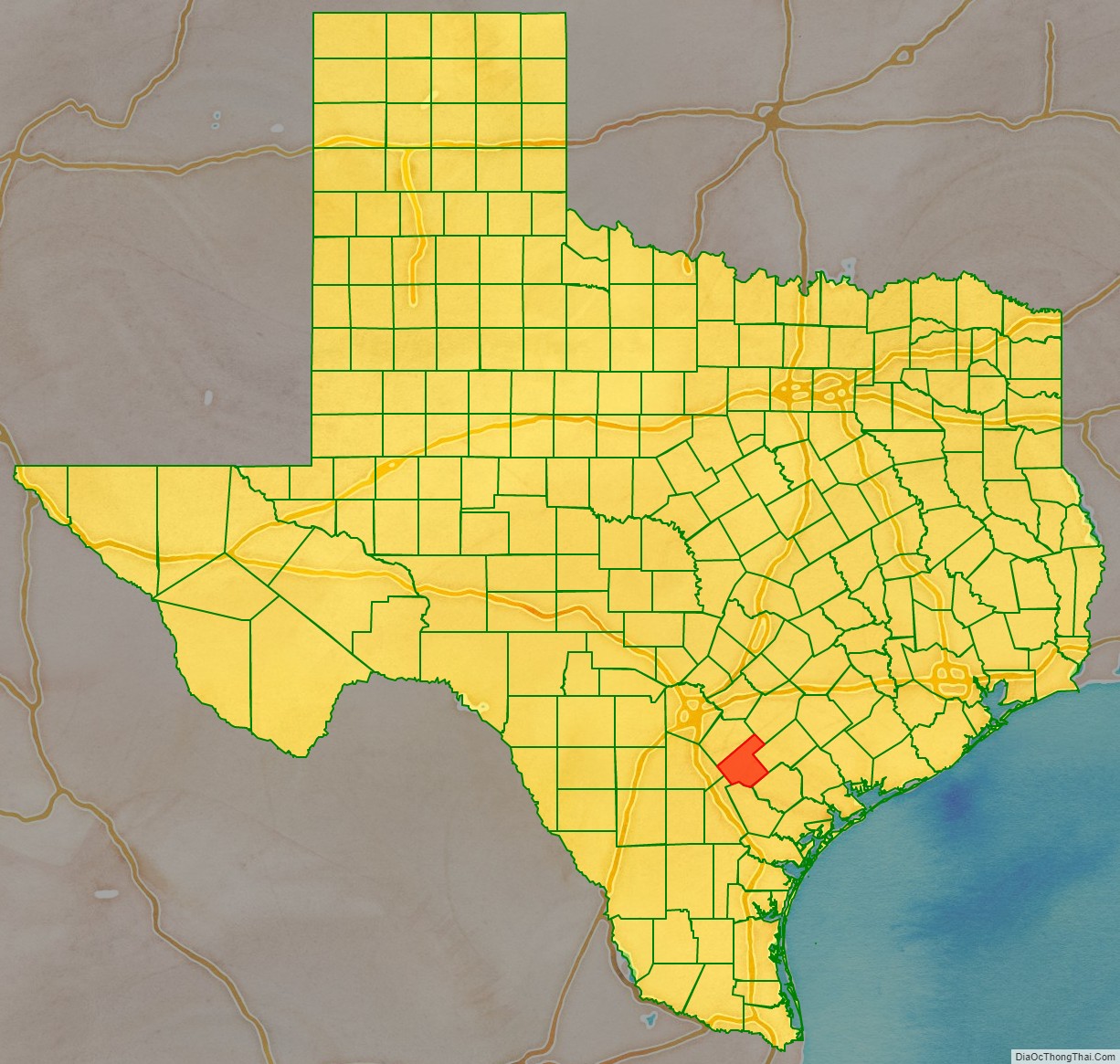
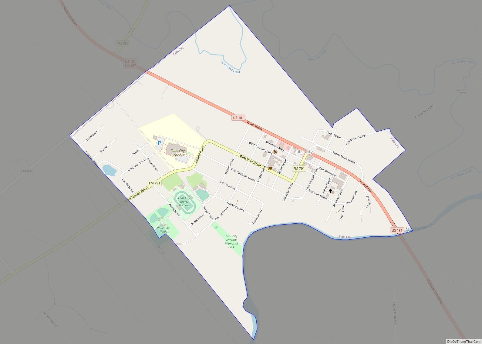
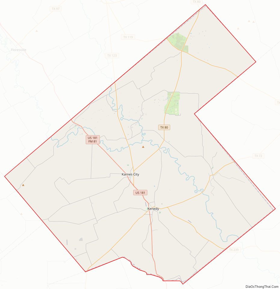
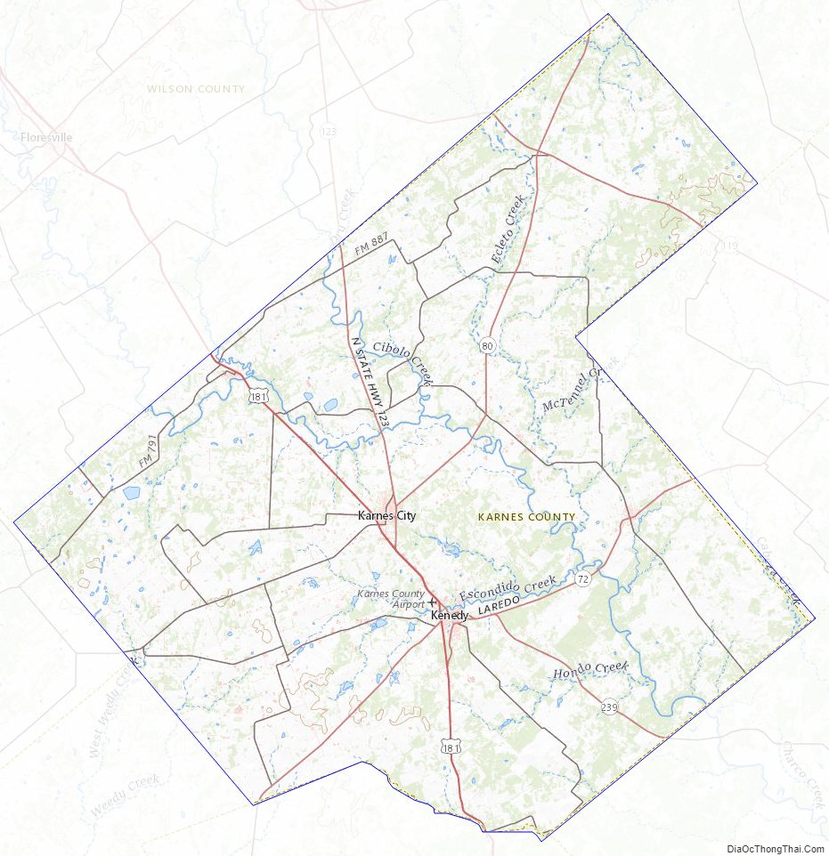
Karnes County Road Map
Geography
According to the U.S. Census Bureau, the county has a total area of 754 square miles (1,950 km), of which 748 square miles (1,940 km) is land and 6.0 square miles (16 km) (0.8%) is water.
Major highways
- U.S. Highway 181
- State Highway 72
- State Highway 80
- State Highway 123
- State Highway 239
Adjacent counties
- Gonzales County (northeast)
- DeWitt County (east)
- Goliad County (southeast)
- Bee County (south)
- Live Oak County (southwest)
- Atascosa County (west)
- Wilson County (northwest)
Karnes County Topographic Map
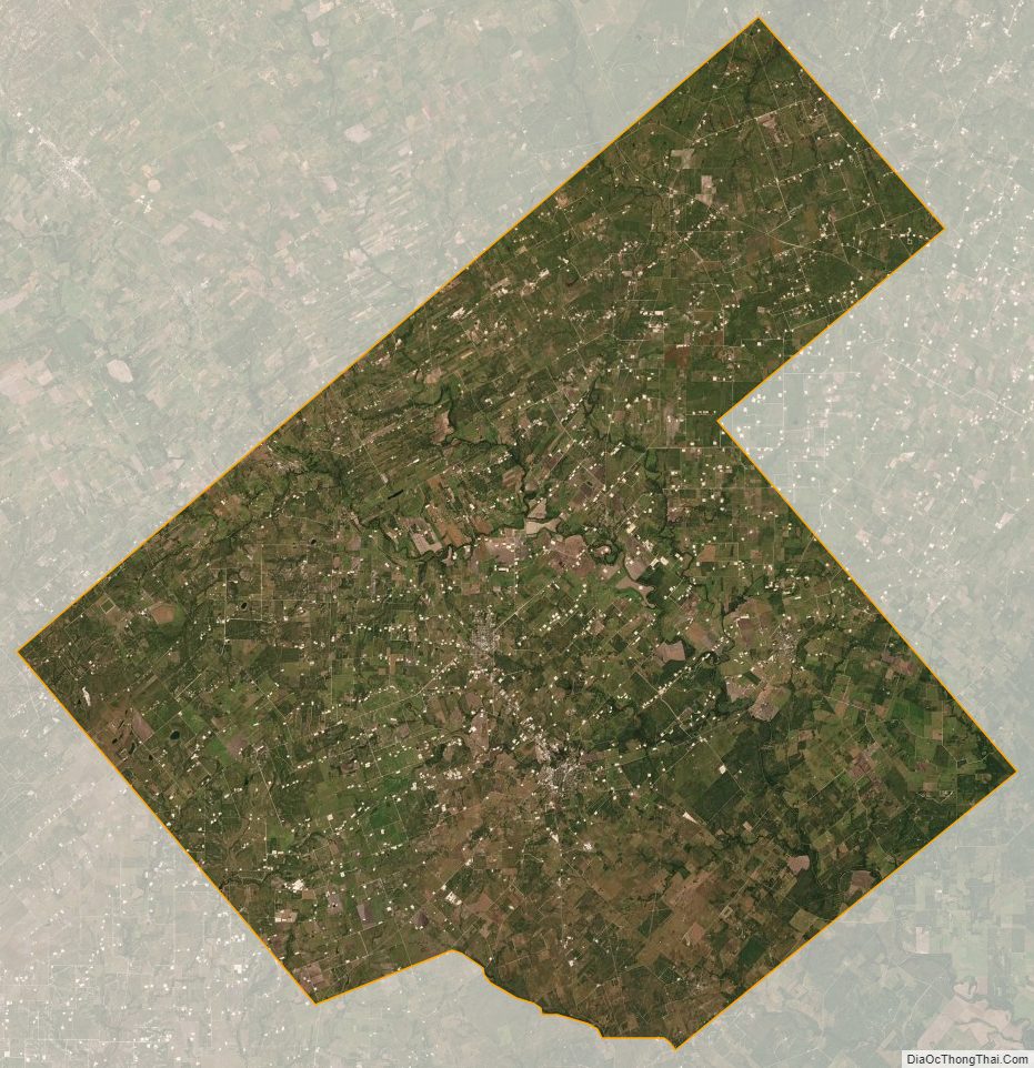
Karnes County Satellite Map
Karnes County Outline Map