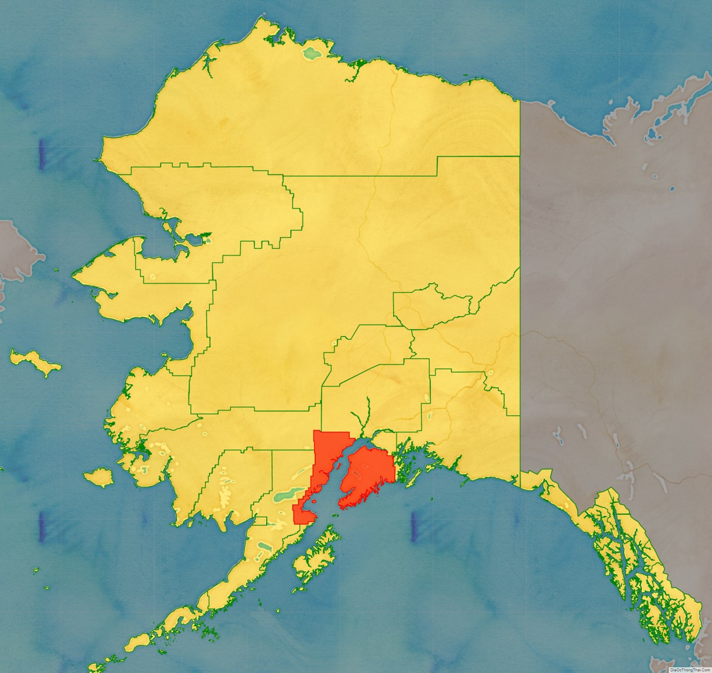
Kenai Peninsula Borough is a borough of the U.S. state of Alaska. As of the 2020 census, the population was 58,799, up from 55,400 in 2010. The borough seat is Soldotna, the largest city is Kenai, and the most populated community is the census-designated place of Kalifornsky.
The borough includes most of the Kenai Peninsula and a large area of the mainland of Alaska on the opposite side of Cook Inlet.
| Name: | Kenai Peninsula Borough |
|---|---|
| FIPS code: | 02-122 |
| State: | Alaska |
| Named for: | Kenai Peninsula |
| Seat: | Soldotna |
| Largest city: | Kenai |
| Total Area: | 24,752 sq mi (64,110 km²) |
| Land Area: | 16,075 sq mi (41,630 km²) |
| Total Population: | 58,799 |
| Population Density: | 2.4/sq mi (0.92/km²) |
Kenai Peninsula Borough location map. Where is Kenai Peninsula Borough?
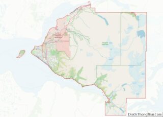
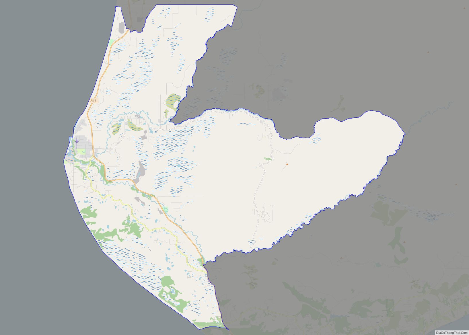
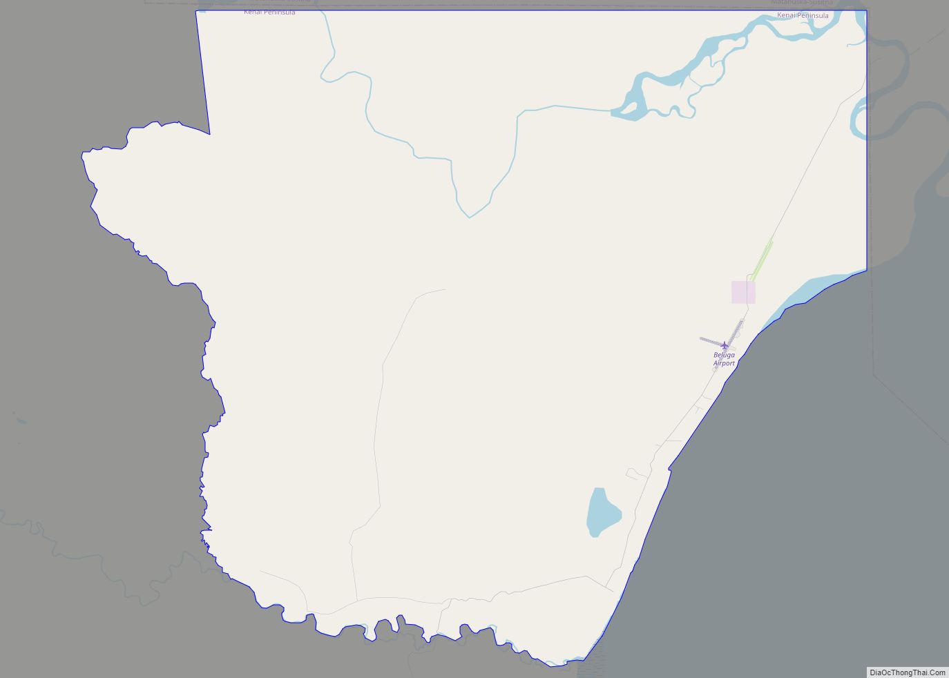
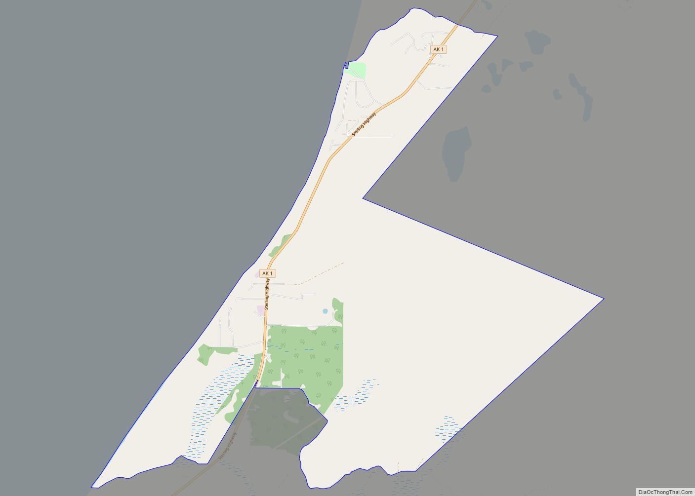
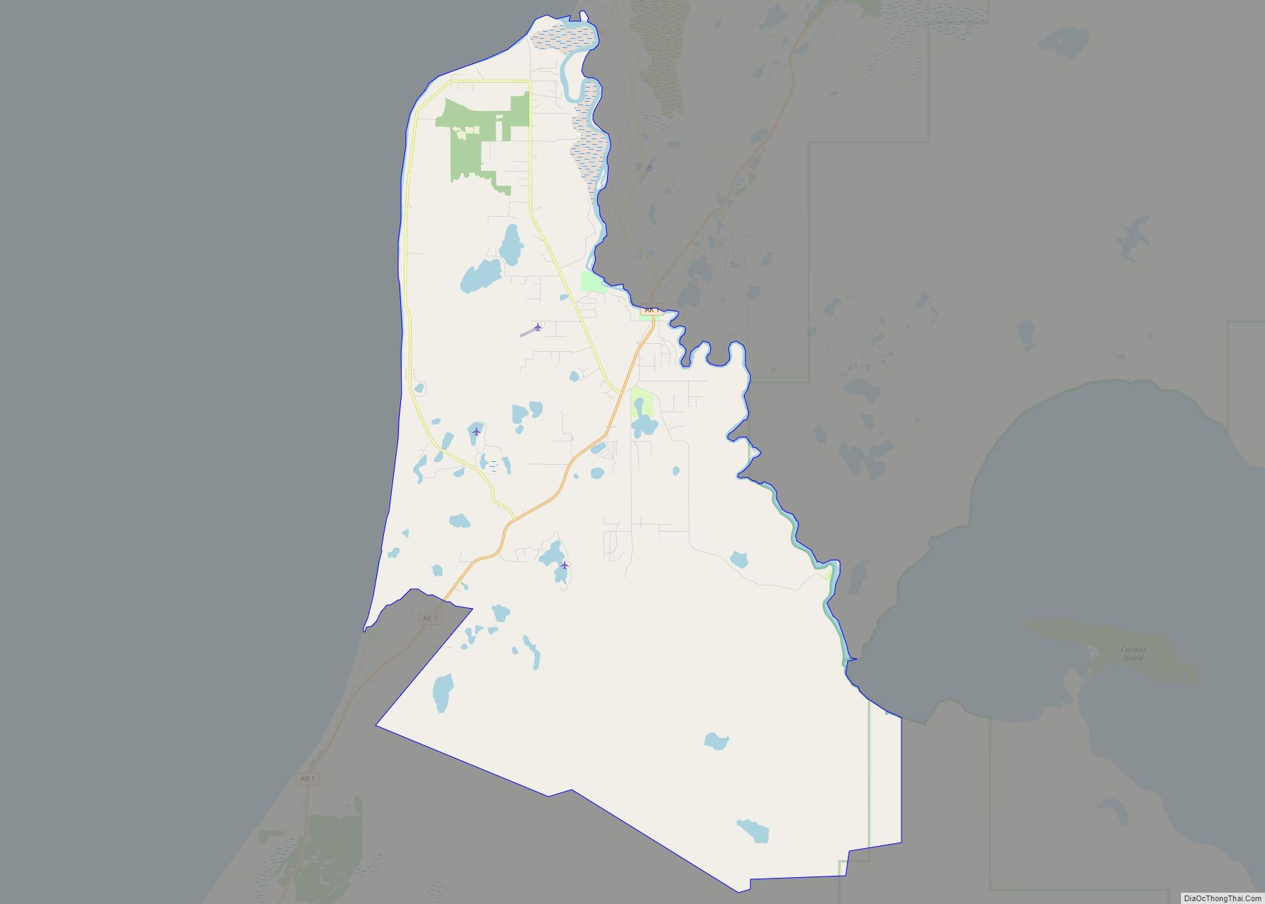
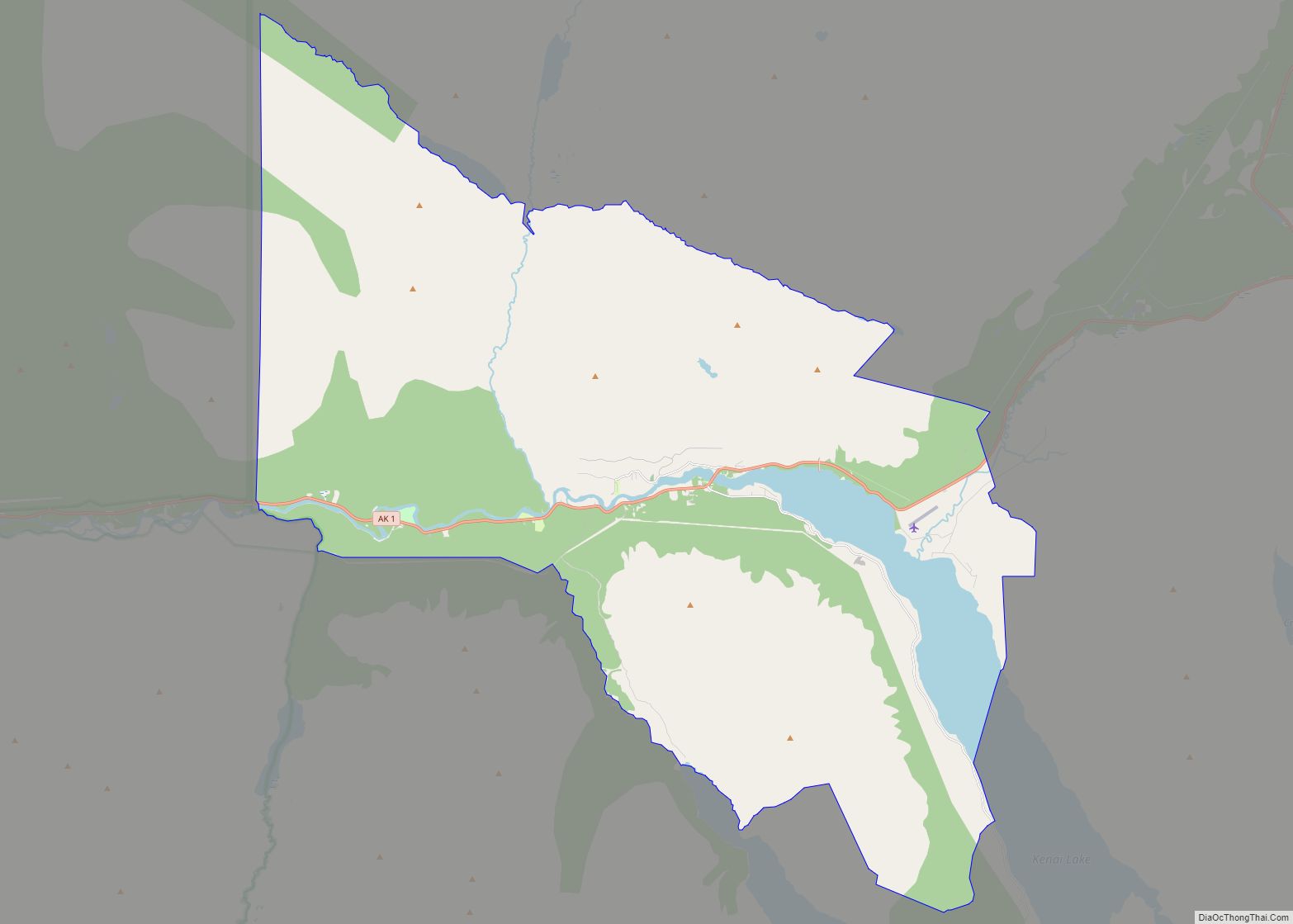
Kenai Peninsula Borough Road Map
Geography
The borough has a total area of 24,752 square miles (64,110 km), of which 16,075 square miles (41,630 km) is land and 8,677 square miles (22,470 km) (3.4%) is water.
Adjacent boroughs and census areas
- Bethel Census Area, Alaska – northwest
- Matanuska-Susitna Borough, Alaska – north
- Municipality of Anchorage, Alaska – north
- Chugach Census Area, Alaska – east
- Lake and Peninsula Borough, Alaska – west
- Kodiak Island Borough, Alaska – south
National protected areas
- Alaska Maritime National Wildlife Refuge (part of Gulf of Alaska unit)
- Chiswell Islands
- Tuxedni Wilderness
- Chugach National Forest (part)
- Katmai National Park and Preserve (part)
- Katmai Wilderness (part)
- Kenai Fjords National Park
- Kenai National Wildlife Refuge
- Kenai Wilderness
- Lake Clark National Park and Preserve (part)
- Lake Clark Wilderness (part)
