Bear Creek is a census-designated place (CDP) in Kenai Peninsula Borough, Alaska, United States. At the 2020 census the population was 2,129 up from 1,956 in 2010. Bear Creek is a few miles north of Seward near the stream of the same name and its source, Bear Lake.
| Name: | Bear Creek CDP |
|---|---|
| LSAD Code: | 57 |
| LSAD Description: | CDP (suffix) |
| State: | Alaska |
| County: | Kenai Peninsula Borough |
| Elevation: | 138 ft (42 m) |
| Total Area: | 39.59 sq mi (102.55 km²) |
| Land Area: | 38.33 sq mi (99.28 km²) |
| Water Area: | 1.26 sq mi (3.26 km²) |
| Total Population: | 2,129 |
| Population Density: | 55.54/sq mi (21.44/km²) |
| Area code: | 907 |
| FIPS code: | 0205585 |
| GNISfeature ID: | 1865547 |
Online Interactive Map
Click on ![]() to view map in "full screen" mode.
to view map in "full screen" mode.
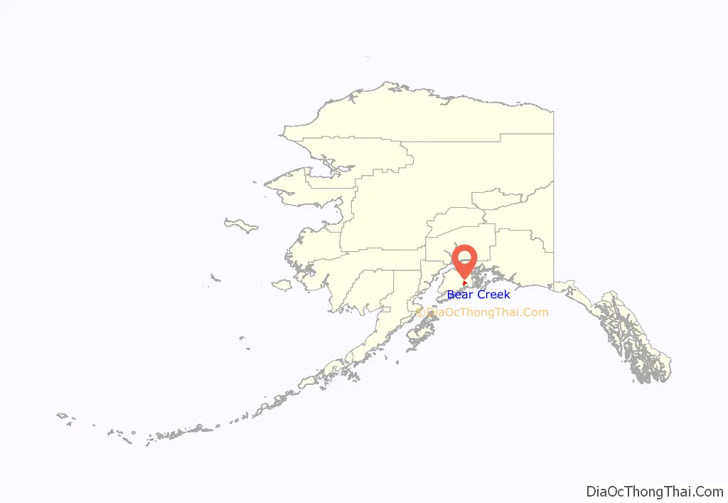
Bear Creek location map. Where is Bear Creek CDP?
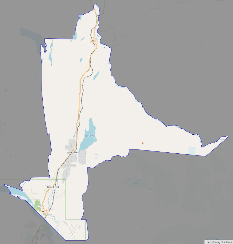
Bear Creek Road Map
Bear Creek city Satellite Map

Geography
Bear Creek is located at 60°10′34″N 149°23′42″W / 60.17611°N 149.39500°W / 60.17611; -149.39500 (60.176060, -149.395066). It is bordered to the south by the city of Seward and to the north by Primrose. The CDP includes the unincorporated community of Woodrow, located at the south end of Bear Lake.
Alaska Route 9, the Seward Highway, runs the length of the Bear Creek community, leading south 4 miles (6 km) to the center of Seward and north 31 miles (50 km) to Alaska Route 1 at Tern Lake. Anchorage is 122 miles (196 km) north of Bear Creek.
According to the United States Census Bureau, the CDP has a total area of 39.5 square miles (102.2 km), of which 38.2 square miles (99.0 km) are land and 1.3 square miles (3.3 km), or 3.21%, are water. The southern border of the CDP is the Resurrection River to its outlet in Resurrection Bay. Bear Lake is in the center, draining south to the Resurrection. The CDP is bordered to the northeast by the South Fork of the Snow River, which flows north to Kenai Lake and is part of the Kenai River watershed flowing west to Cook Inlet.
See also
Map of Alaska State and its subdivision:- Aleutians East
- Aleutians West
- Anchorage
- Bethel
- Bristol Bay
- Denali
- Dillingham
- Fairbanks North Star
- Haines
- Juneau
- Kenai Peninsula
- Ketchikan Gateway
- Kodiak Island
- Lake and Peninsula
- Matanuska-Susitna
- Nome
- North Slope
- Northwest Arctic
- Prince of Wales-Outer Ketchi
- Sitka
- Skagway-Yakutat-Angoon
- Southeast Fairbanks
- Valdez-Cordova
- Wade Hampton
- Wrangell-Petersburg
- Yukon-Koyukuk
- Alabama
- Alaska
- Arizona
- Arkansas
- California
- Colorado
- Connecticut
- Delaware
- District of Columbia
- Florida
- Georgia
- Hawaii
- Idaho
- Illinois
- Indiana
- Iowa
- Kansas
- Kentucky
- Louisiana
- Maine
- Maryland
- Massachusetts
- Michigan
- Minnesota
- Mississippi
- Missouri
- Montana
- Nebraska
- Nevada
- New Hampshire
- New Jersey
- New Mexico
- New York
- North Carolina
- North Dakota
- Ohio
- Oklahoma
- Oregon
- Pennsylvania
- Rhode Island
- South Carolina
- South Dakota
- Tennessee
- Texas
- Utah
- Vermont
- Virginia
- Washington
- West Virginia
- Wisconsin
- Wyoming


