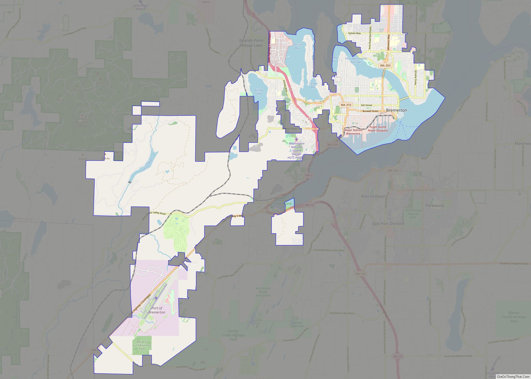
Port Orchard is a city in and the county seat of Kitsap County, Washington, United States. It is located 13 miles (21 km) due west of West Seattle and is connected to Seattle and Vashon Island via the Washington State Ferries run to Southworth. It is named after Port Orchard, the strait that separates Bainbridge Island from the Kitsap Peninsula.
As of the 2010 census the population was 11,144, and in 2019 the population was an estimated 14,597.
| Name: | Port Orchard city |
|---|---|
| LSAD Code: | 25 |
| LSAD Description: | city (suffix) |
| State: | Washington |
| County: | Kitsap County |
| Elevation: | 72 ft (22 m) |
| Total Area: | 11.21 sq mi (29.03 km²) |
| Land Area: | 9.64 sq mi (24.98 km²) |
| Water Area: | 1.56 sq mi (4.05 km²) |
| Total Population: | 16,400 |
| Population Density: | 1,513.58/sq mi (584.40/km²) |
| ZIP code: | 98366-98367 |
| Area code: | 360 |
| FIPS code: | 5355785 |
| GNISfeature ID: | 1512580 |
| Website: | www.cityofportorchard.us |
Online Interactive Map
Click on ![]() to view map in "full screen" mode.
to view map in "full screen" mode.
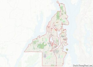
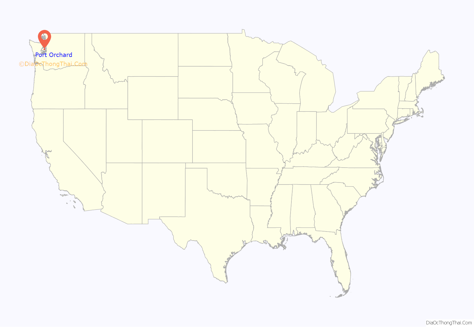
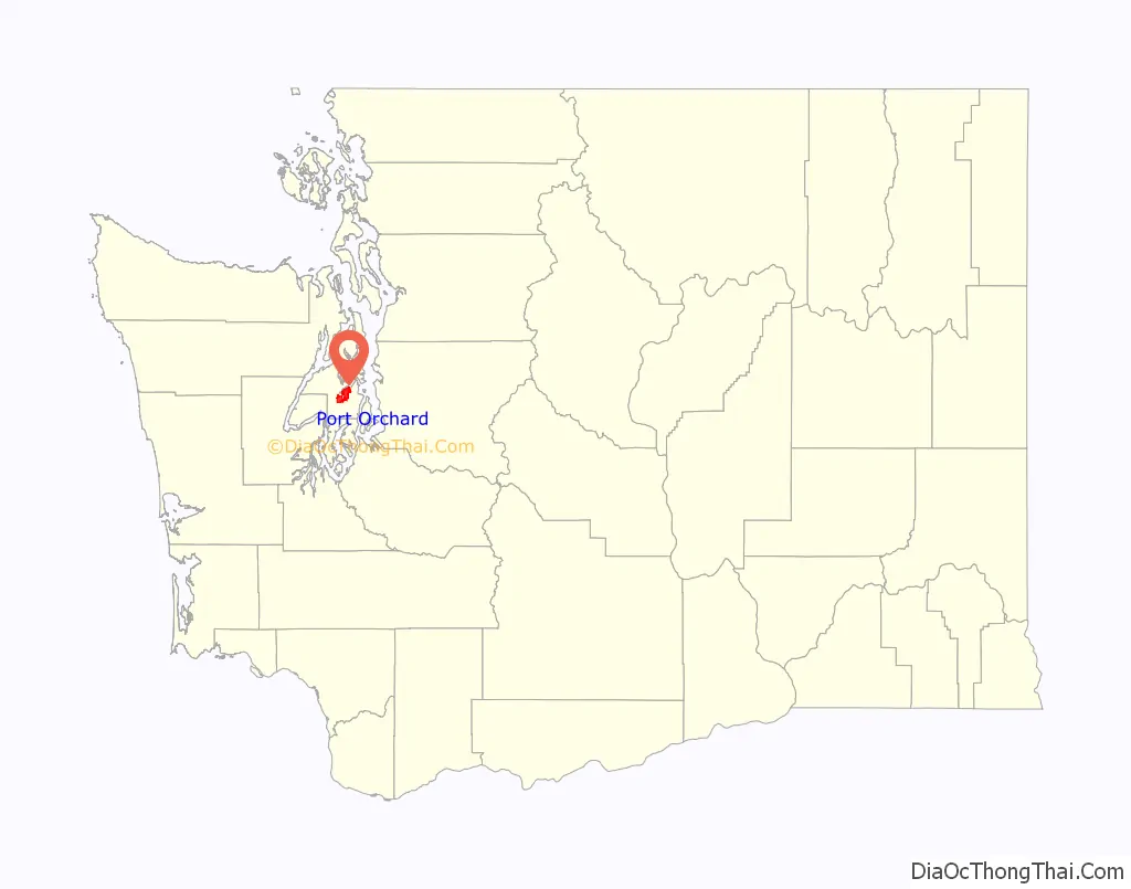
Port Orchard location map. Where is Port Orchard city?
History
The first European-Americans to settle in what is now Port Orchard were William Renton and Daniel Howard, who set up a sawmill there in 1854. The town that was to become Port Orchard was originally platted in 1886 by Frederick Stevens, who named the new location after his father, Sidney. The town of Sidney was incorporated September 15, 1890, and was the first in Kitsap County to be both platted and incorporated. Shortly thereafter, the U.S. Navy sought a suitable location for another installation on the West Coast, and found it with the assistance of Sidney’s residents in Orchard Bay (this installation would later become the Puget Sound Naval Shipyard in Bremerton).
The county seat was originally in Port Madison, but moved to Sidney after a popular vote in 1892. In December of that same year, the residents of Sidney petitioned both the state legislature and the Post Office Department to rename the city “Port Orchard”. The legislature refused, as Charleston (now West Bremerton) had also requested that name. The Post Office Department, however, went through with the name change, and as a result the Port Orchard post office ended up in Sidney, and the Charleston post office ended up in Port Orchard. It wasn’t until 1903 that local politician Will Thompson convinced the state legislature to correct this confusing situation, and relocated the Charleston post office to Charleston, at the same time renaming Sidney “Port Orchard”, as it is known today.
A new city hall was opened in May 1999, replacing a seismically vulnerable building constructed in 1947. It was to be a catalyst for new development in the city’s downtown.
On December 18, 2018, a cul-de-sac in Port Orchard was struck by an EF2 tornado with winds between 120 and 130 miles per hour (190 and 210 km/h), the strongest tornado in Washington since 1986. The tornado uprooted trees and damaged up to 450 homes and businesses, some of which sustained total roof loss. Some neighborhoods were evacuated due to reported gas leaks.
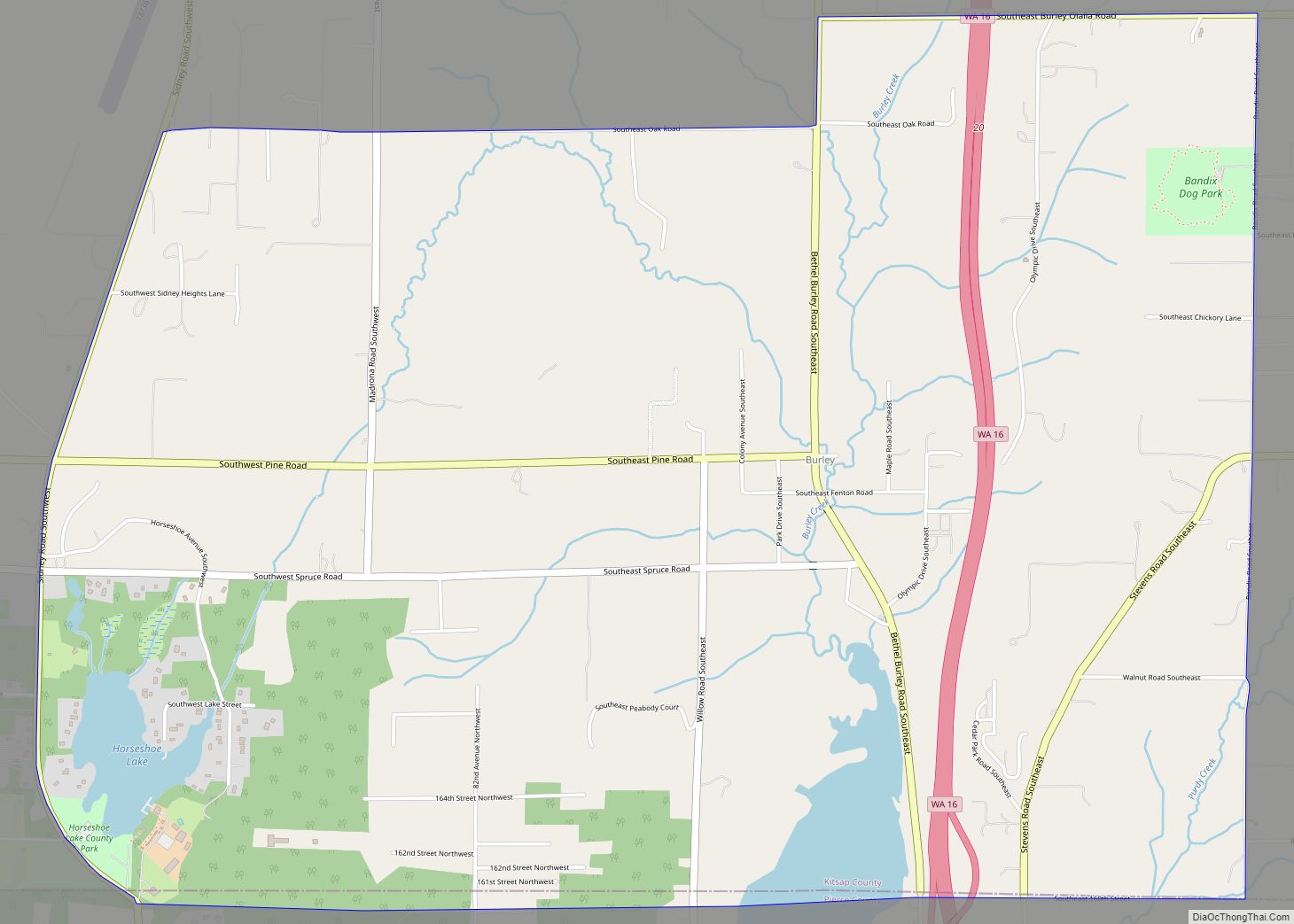
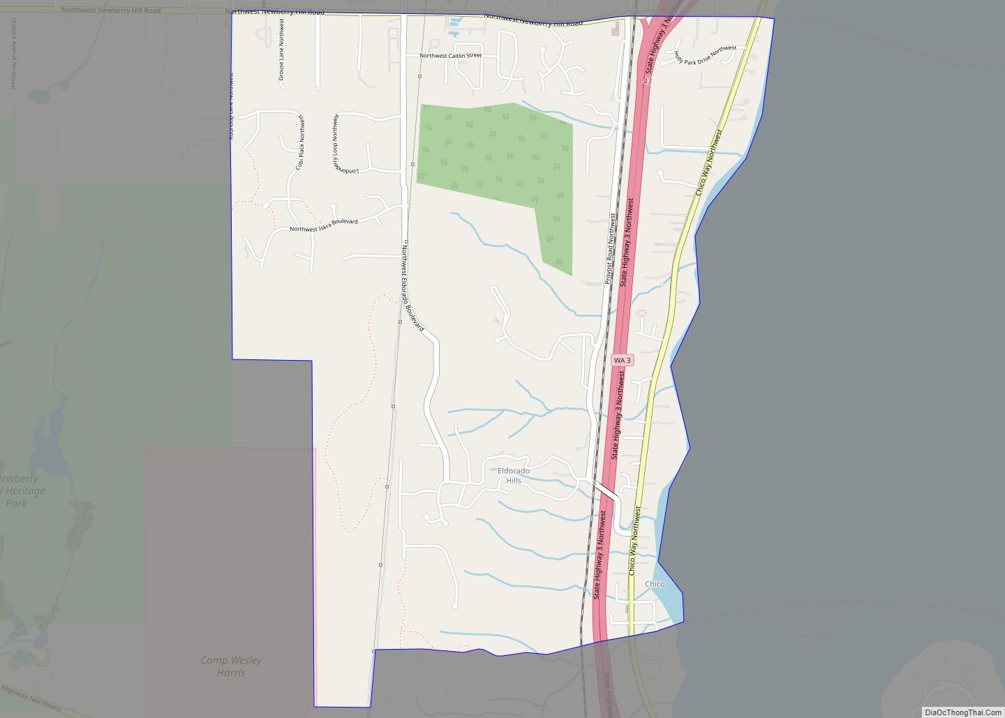
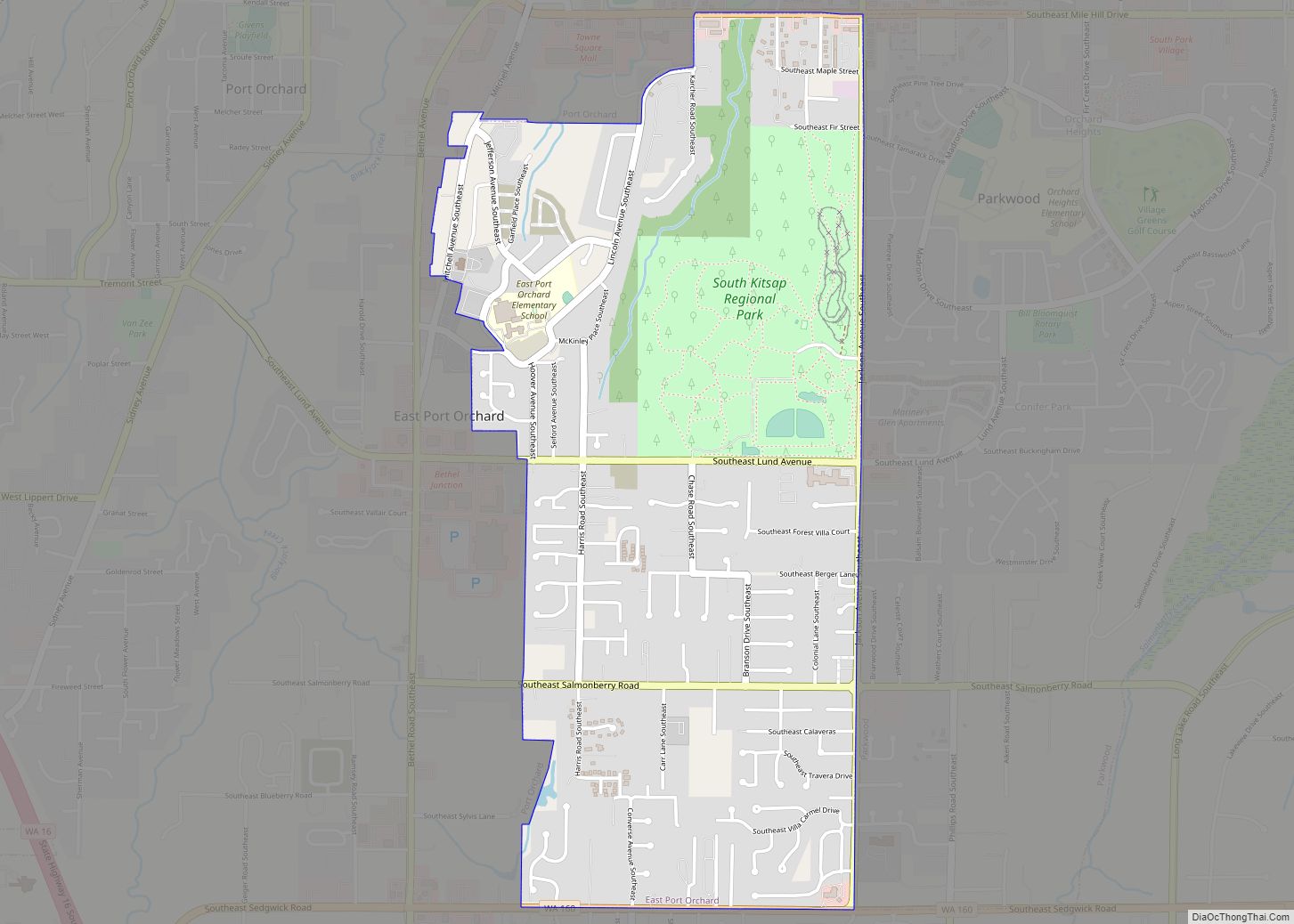
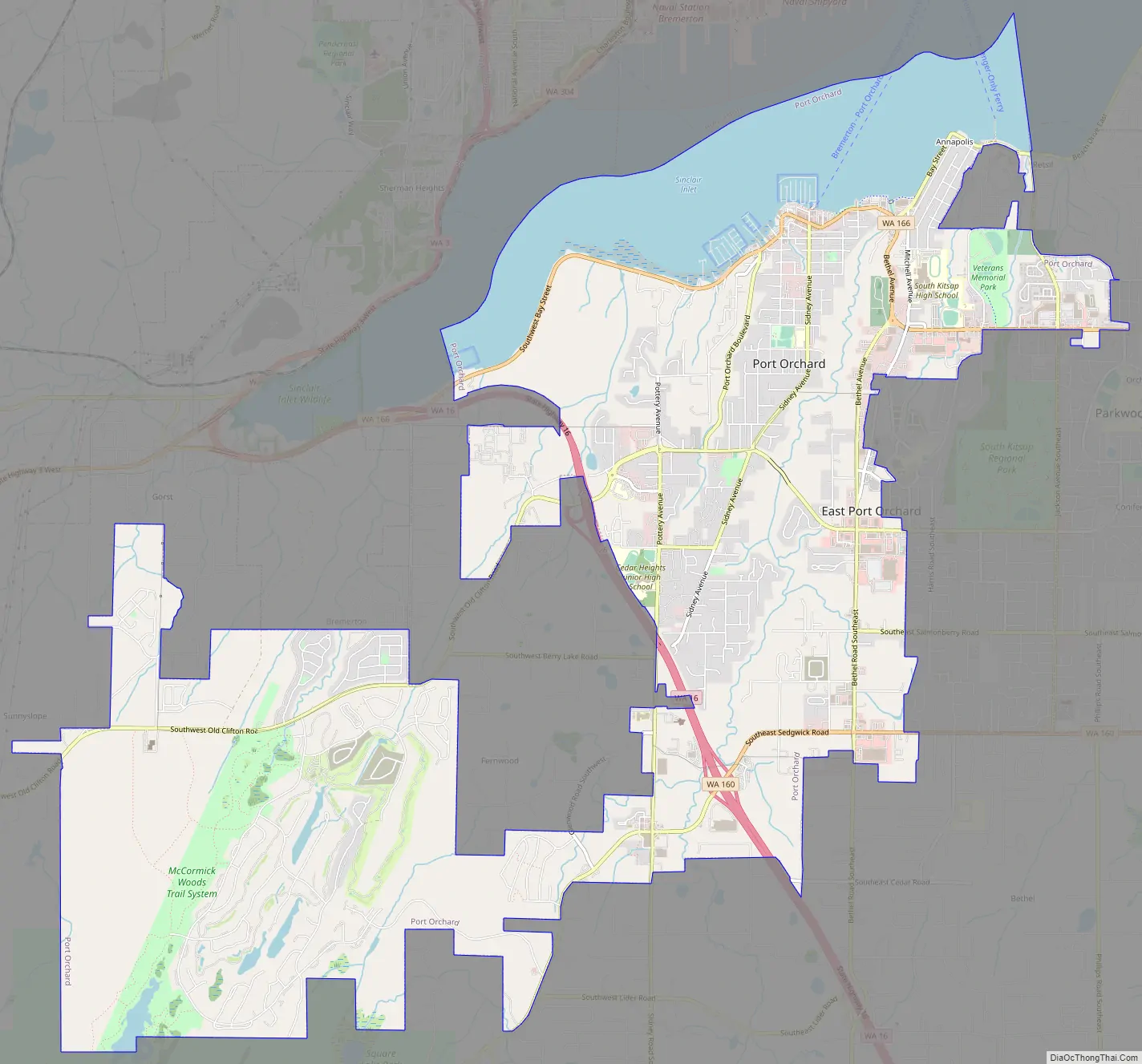
Port Orchard Road Map
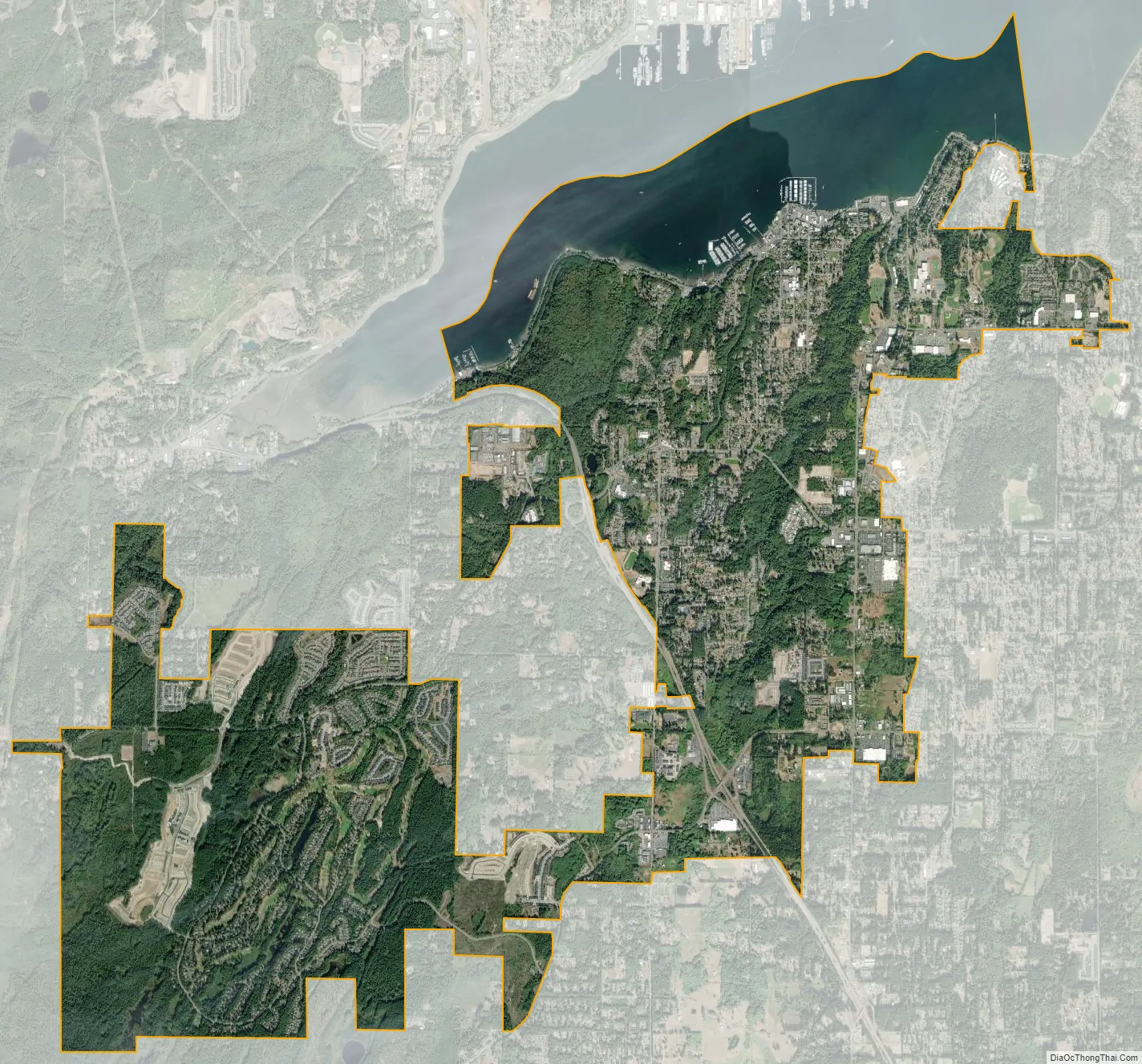
Port Orchard city Satellite Map
Geography
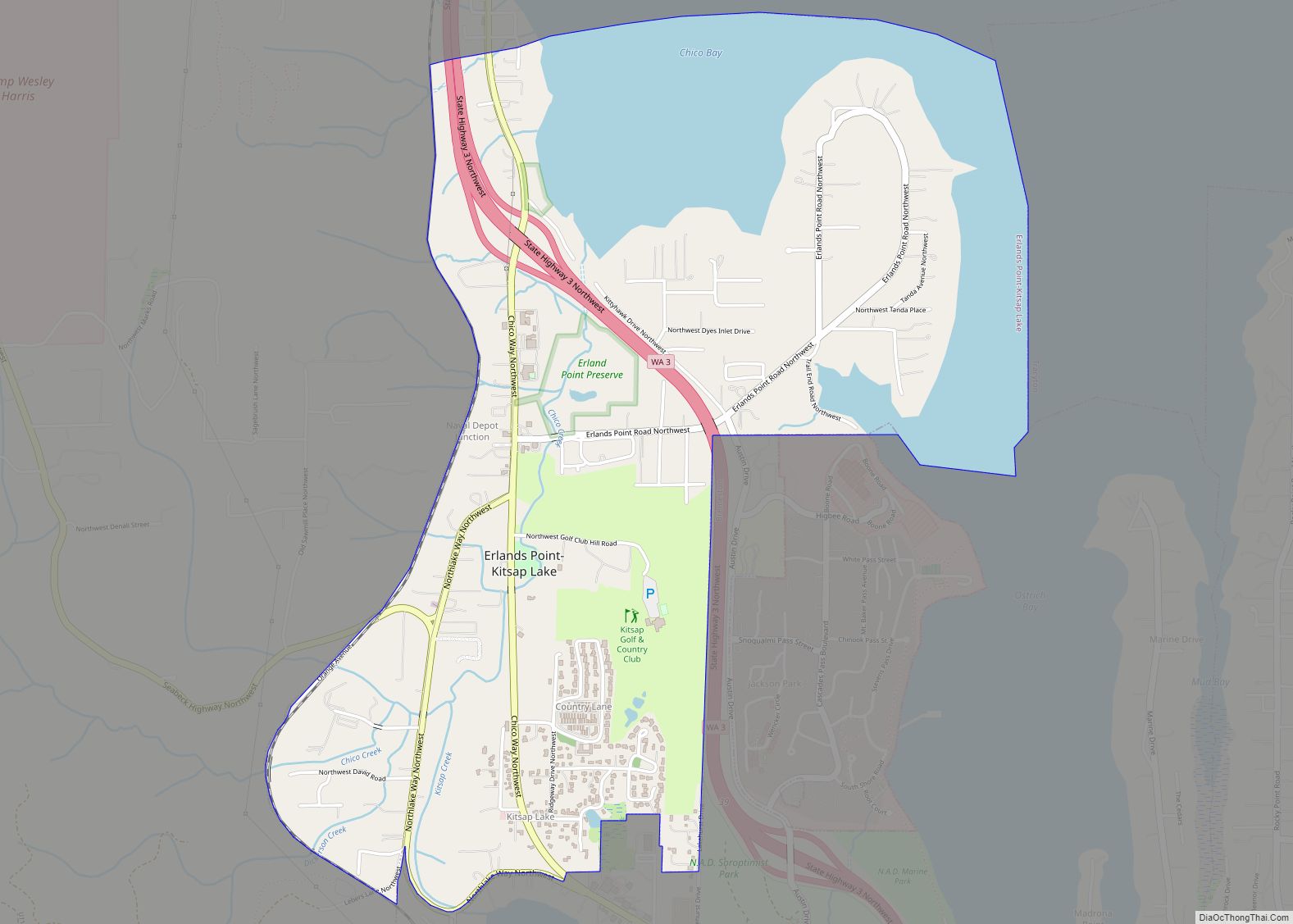
Port Orchard is located in south-central Kitsap County at 47°31′54″N 122°38′18″W / 47.53167°N 122.63833°W / 47.53167; -122.63833 (47.531563, -122.638405), on the south side of Sinclair Inlet, an arm of the Port Orchard strait connecting to Puget Sound. The city is bordered to the north across Sinclair Inlet by the city of Bremerton.
According to the United States Census Bureau, Port Orchard has a total area of 8.5 square miles (22.1 km), of which 7.3 square miles (18.8 km) are land and 1.3 square miles (3.3 km), or 14.98%, are water.
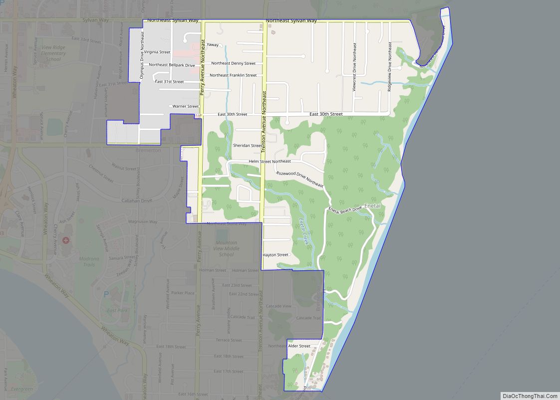
The city is home to South Kitsap Regional Park, a 209-acre public park with multiple fields and installations such as hiking trails, a playground, a skate park, and batting cages.
Port Orchard Airport, located 7 miles (11 km) south of the city, is a private airport with an industrial park.
See also
Map of Washington State and its subdivision:- Adams
- Asotin
- Benton
- Chelan
- Clallam
- Clark
- Columbia
- Cowlitz
- Douglas
- Ferry
- Franklin
- Garfield
- Grant
- Grays Harbor
- Island
- Jefferson
- King
- Kitsap
- Kittitas
- Klickitat
- Lewis
- Lincoln
- Mason
- Okanogan
- Pacific
- Pend Oreille
- Pierce
- San Juan
- Skagit
- Skamania
- Snohomish
- Spokane
- Stevens
- Thurston
- Wahkiakum
- Walla Walla
- Whatcom
- Whitman
- Yakima
- Alabama
- Alaska
- Arizona
- Arkansas
- California
- Colorado
- Connecticut
- Delaware
- District of Columbia
- Florida
- Georgia
- Hawaii
- Idaho
- Illinois
- Indiana
- Iowa
- Kansas
- Kentucky
- Louisiana
- Maine
- Maryland
- Massachusetts
- Michigan
- Minnesota
- Mississippi
- Missouri
- Montana
- Nebraska
- Nevada
- New Hampshire
- New Jersey
- New Mexico
- New York
- North Carolina
- North Dakota
- Ohio
- Oklahoma
- Oregon
- Pennsylvania
- Rhode Island
- South Carolina
- South Dakota
- Tennessee
- Texas
- Utah
- Vermont
- Virginia
- Washington
- West Virginia
- Wisconsin
- Wyoming