Bainbridge Island is a city and island in Kitsap County, Washington. It is located in Puget Sound. The population was 23,025 at the 2010 census and an estimated 25,298 in 2019, making Bainbridge Island the second largest city in Kitsap County.
The island is separated from the Kitsap Peninsula by Port Orchard, with Bremerton lying to the southwest. Bainbridge Island is a suburb of Seattle, connected via the Washington State Ferries system and to Poulsbo and the Suquamish Indian Reservation by State Route 305, which uses the Agate Pass Bridge.
| Name: | Bainbridge Island city |
|---|---|
| LSAD Code: | 25 |
| LSAD Description: | city (suffix) |
| State: | Washington |
| County: | Kitsap County |
| Elevation: | 200 ft (60 m) |
| Total Area: | 65.08 sq mi (168.55 km²) |
| Land Area: | 27.61 sq mi (71.52 km²) |
| Water Area: | 37.46 sq mi (97.03 km²) |
| Total Population: | 23,025 |
| Population Density: | 916.13/sq mi (353.72/km²) |
| ZIP code: | 98110 |
| Area code: | 206 |
| FIPS code: | 5303736 |
| GNISfeature ID: | 1512809 |
| Website: | bainbridgewa.gov |
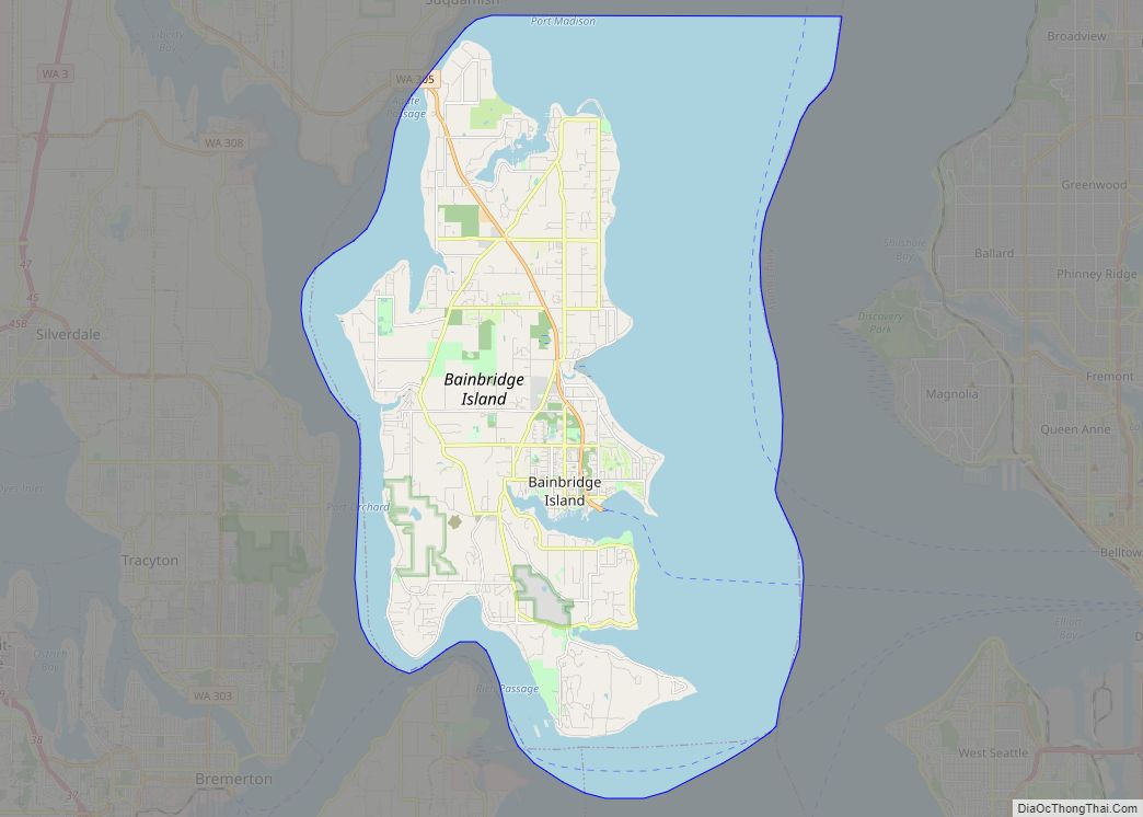
Online Interactive Map
Click on ![]() to view map in "full screen" mode.
to view map in "full screen" mode.
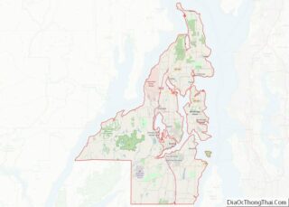
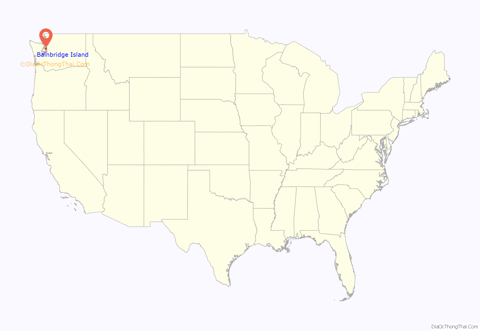
Bainbridge Island location map. Where is Bainbridge Island city?

History
For thousands of years, members of the Suquamish people and their ancestors lived on the land now called Bainbridge Island. There were nine villages on the island; these included winter villages at Port Madison, Battle Point, Point White, Lynwood Center, Port Blakely, and Eagle Harbor, as well as summer villages at Manzanita, Fletcher Bay, and Rolling Bay.
In 1792, English explorer Captain George Vancouver spent several days with his ship HMS Discovery anchored off Restoration Point at the southern end of Bainbridge Island while boat parties surveyed other parts of Puget Sound. Vancouver spent a day exploring Rich Passage, Port Orchard, and Sinclair Inlet. He failed to find Agate Passage, and so his maps show Bainbridge Island as a peninsula. Vancouver named Restoration Point on May 29, the anniversary of the English Restoration, in honor of King Charles II.
In 1841, US Navy Lieutenant Charles Wilkes visited the island while surveying the Pacific Northwest. Lt. Wilkes named the island after Commodore William Bainbridge, commander of the frigate USS Constitution in the War of 1812. Settlers originally used Bainbridge Island as a center for the logging and shipbuilding industries. The island was known for huge and accessible cedars, which were especially in demand for ships’ masts. The original county seat of Kitsap County was at Port Madison on the island’s north end.
In 1855, the Suquamish tribe relinquished their claim to Bainbridge Island by signing the Point Elliott Treaty. The Suquamish agreed to cede all of their territory (which included Bainbridge Island) to the United States in exchange for a reservation at Port Madison and fishing rights to Puget Sound.
The first generation of Japanese immigrants, the Issei, came in 1883. During World War II, Japanese-American residents of Bainbridge Island were the first to be sent to internment camps, an event commemorated by the Bainbridge Island Japanese American Exclusion Memorial, which opened in 2011. They were held by the US government through the duration of the war for fear of espionage. A High-frequency direction finding (HFDF) station was established here by the Navy during the war. These radio intercept sites along the West Coast were used to track Japanese warships and merchant marine vessels as far away as the Western Pacific. The other West Coast stations were in California at Point Arguello, Point Saint George, Farallon Islands and San Diego.
Since the 1960s, Bainbridge Island has become an increasingly affluent bedroom community of Seattle, a 35-minute ride away on the Washington State Ferries.
The city has occupied the entire space of Bainbridge Island since February 28, 1991, when the 1.5-square-mile (3.9 km) city of Winslow (incorporated on August 9, 1947), annexed the rest of the island after a narrowly passed November 1990 referendum. It officially remained the city of Winslow for several months, until November 7, 1991 at which time the city of Winslow was renamed the city of Bainbridge Island.
Bainbridge Island Road Map
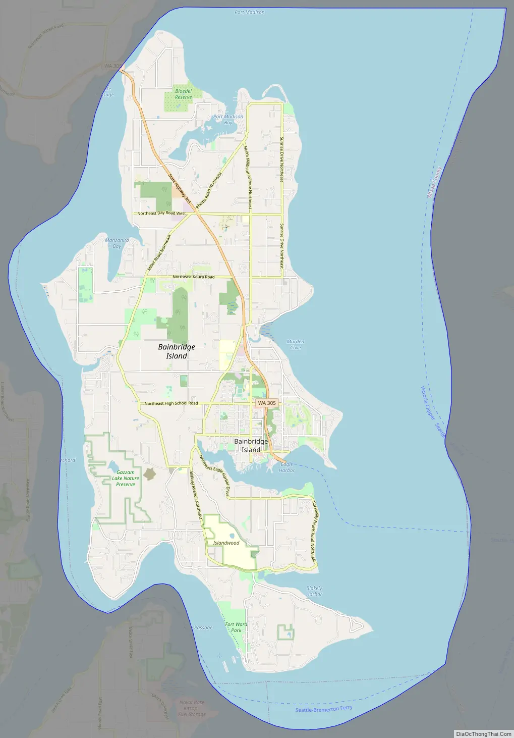
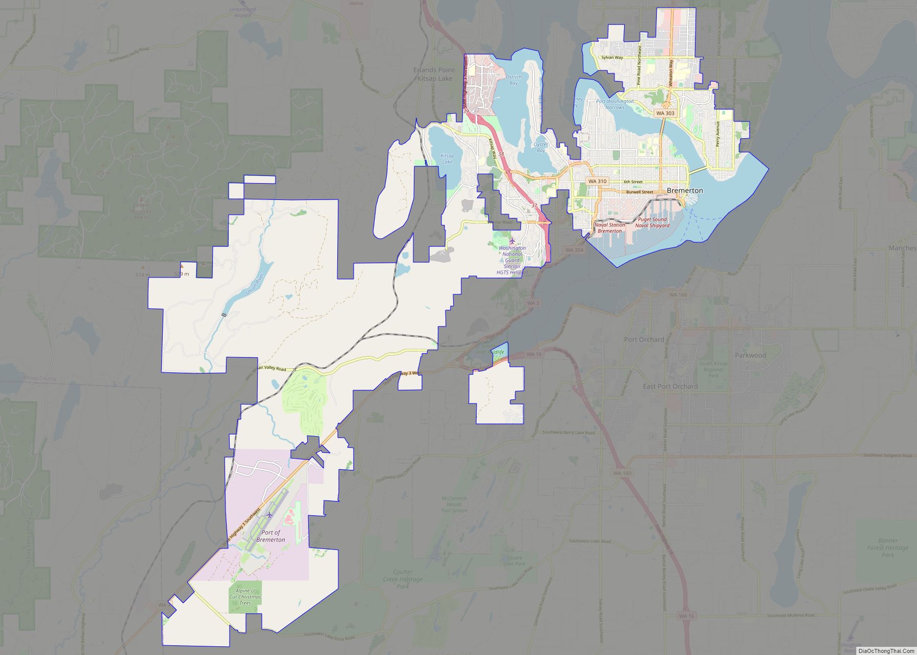
Bainbridge Island city Satellite Map

Geography
Bainbridge Island was formed during the last ice age—13,000 to 15,000 years ago—when the 3,000-foot-thick (910 m) Vashon Glacier scraped out the Puget Sound and Hood Canal basins.
Bainbridge Island is located within the Puget Sound Basin, east of the Kitsap Peninsula, directly east of the Manette Peninsula and west of the city of Seattle. The island is approximately 5 miles (8 km) wide and 10 miles (16 km) long, encompassing nearly 17,778 acres (27.778 sq mi; 71.95 km), and is one of the larger islands in Puget Sound.
Bainbridge Island shorelines border the main body of Puget Sound, as well as Port Orchard Bay, a large protected embayment, and two high-current tidal passages, Rich Passage and Agate Pass. The island is characterized by an irregular coastline of approximately 53 miles (85 km), with numerous bays and inlets and a significant diversity of other coastal land forms, including spits, bluffs, dunes, lagoons, cuspate forelands, tombolos, tide flats, streams and tidal deltas, islands, and rocky outcrops. The high point is 425-foot (130 m) Toe Jam Hill.
On the Kitsap Peninsula, Bremerton and Poulsbo lie across the Port Orchard channel to the west, and the city of Port Orchard lies across Rich Passage to the south.
The island is quite hilly and hosts the Chilly Hilly bicycle ride every February.
Bainbridge Island can be accessed by motor vehicle, bicycle, or foot through two access points, both on Washington State Route 305. Bainbridge Island is connected to the Kitsap Peninsula by the Agate Pass Bridge, carrying SR 305 over Agate Passage at the island’s northwest corner. The only other way off the island is by the Seattle–Bainbridge Island ferry, the Washington State Ferries service from the dock at Winslow in Eagle Harbor to Colman Dock (Pier 52) in Seattle. Numerous public right of way access points to water around the island also exist, officially referred to as Road Ends.
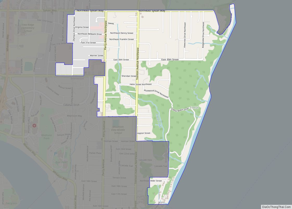
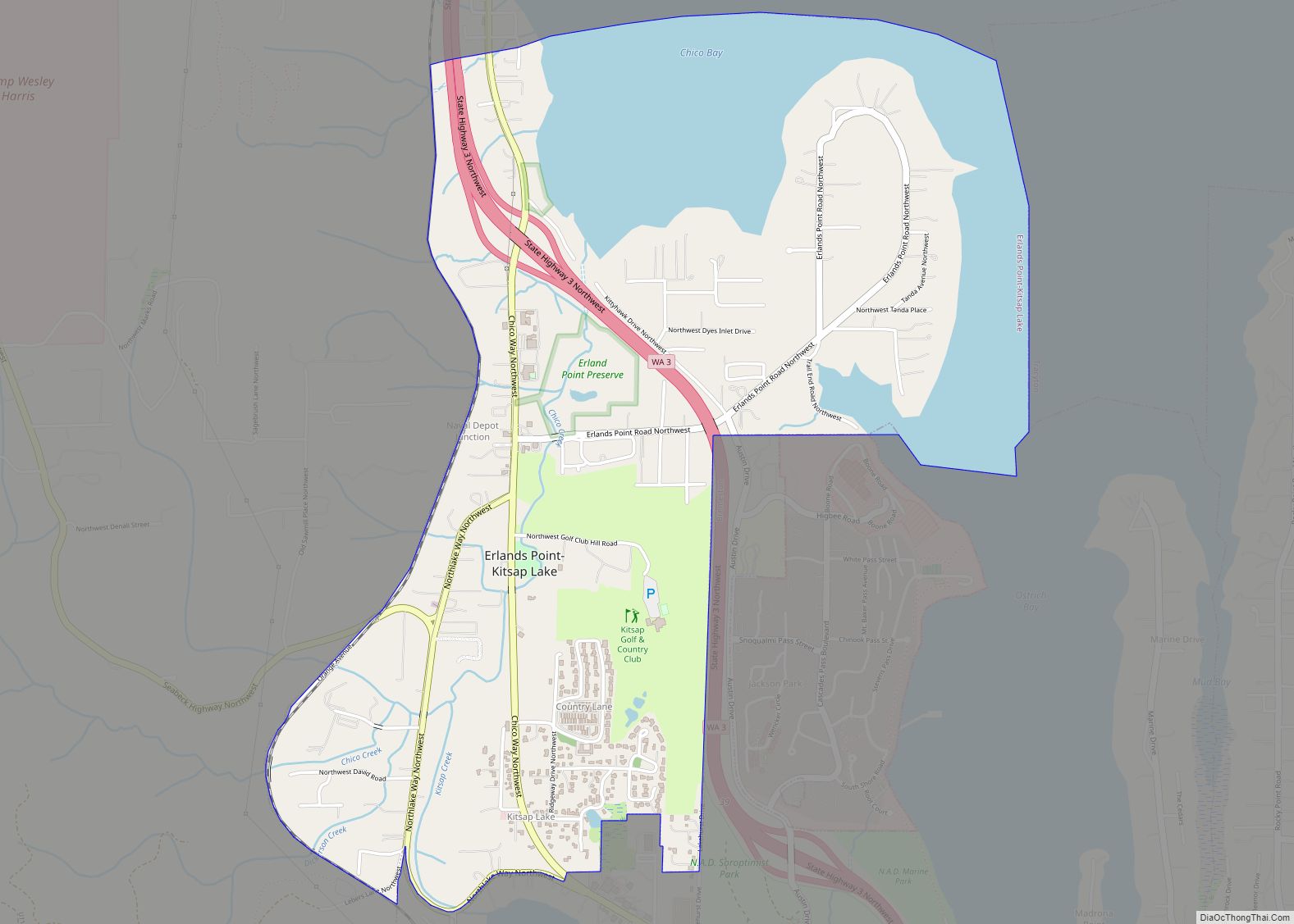
Communities
When the city of Winslow annexed the entirety of Bainbridge Island in 1991, it absorbed numerous named unincorporated communities. Most of these locations are still referred to by name on the island, and maintain their own local character within the city.
See also
Map of Washington State and its subdivision:- Adams
- Asotin
- Benton
- Chelan
- Clallam
- Clark
- Columbia
- Cowlitz
- Douglas
- Ferry
- Franklin
- Garfield
- Grant
- Grays Harbor
- Island
- Jefferson
- King
- Kitsap
- Kittitas
- Klickitat
- Lewis
- Lincoln
- Mason
- Okanogan
- Pacific
- Pend Oreille
- Pierce
- San Juan
- Skagit
- Skamania
- Snohomish
- Spokane
- Stevens
- Thurston
- Wahkiakum
- Walla Walla
- Whatcom
- Whitman
- Yakima
- Alabama
- Alaska
- Arizona
- Arkansas
- California
- Colorado
- Connecticut
- Delaware
- District of Columbia
- Florida
- Georgia
- Hawaii
- Idaho
- Illinois
- Indiana
- Iowa
- Kansas
- Kentucky
- Louisiana
- Maine
- Maryland
- Massachusetts
- Michigan
- Minnesota
- Mississippi
- Missouri
- Montana
- Nebraska
- Nevada
- New Hampshire
- New Jersey
- New Mexico
- New York
- North Carolina
- North Dakota
- Ohio
- Oklahoma
- Oregon
- Pennsylvania
- Rhode Island
- South Carolina
- South Dakota
- Tennessee
- Texas
- Utah
- Vermont
- Virginia
- Washington
- West Virginia
- Wisconsin
- Wyoming