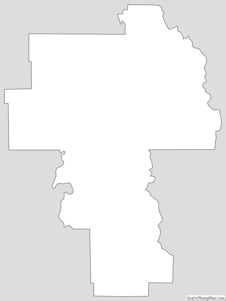
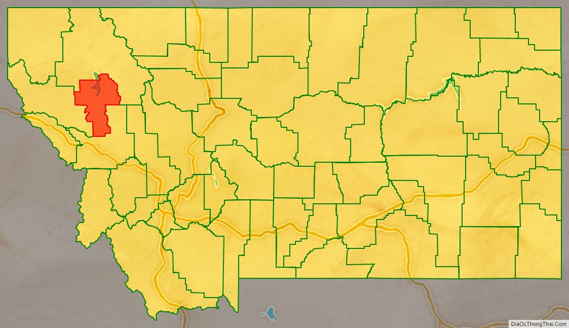
Lake County is a county located in the northwest part of the U.S. state of Montana. As of the 2020 census, the population was 31,134. Its county seat is Polson.
| Name: | Lake County |
|---|---|
| FIPS code: | 30-047 |
| State: | Montana |
| Founded: | 1923 |
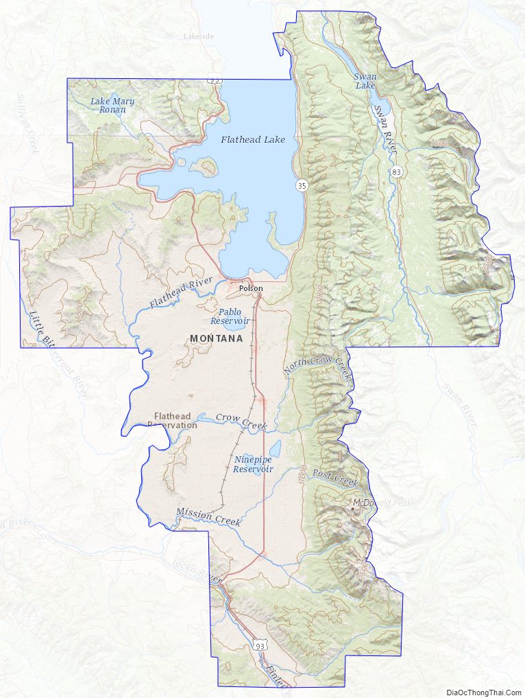
| Named for: | Flathead Lake |
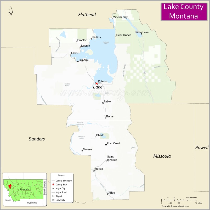
| Seat: | Polson |
| Largest city: | Polson |
| Total Area: | 1,654 sq mi (4,280 km²) |
| Land Area: | 1,490 sq mi (3,900 km²) |
| Total Population: | 31,134 |
| Population Density: | 19/sq mi (7.3/km²) |
| Time zone: | UTC−7 (Mountain) |
| Summer Time Zone (DST): | UTC−6 (MDT) |
| Website: | www.lakemt.gov |
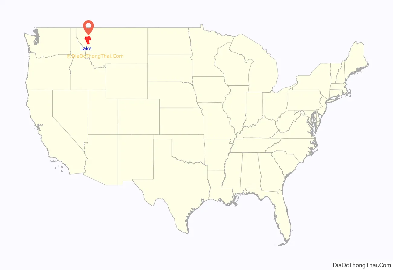
Lake County location map. Where is Lake County?
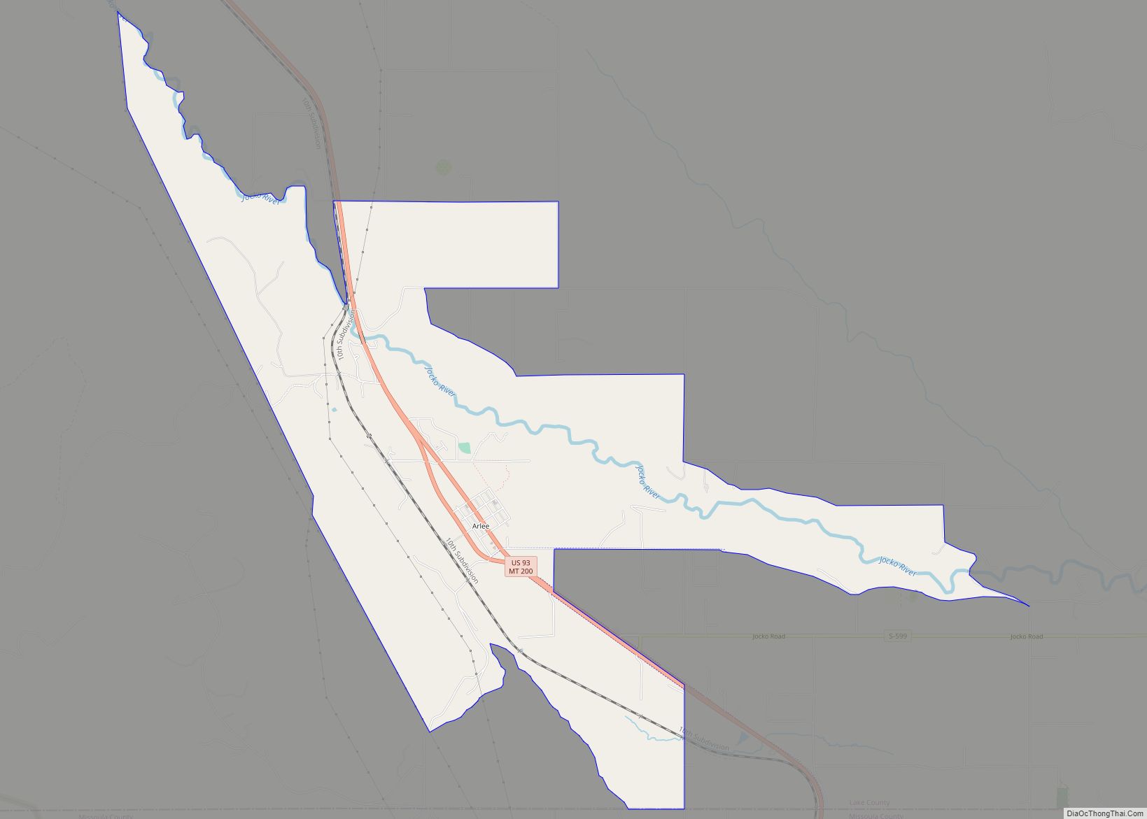
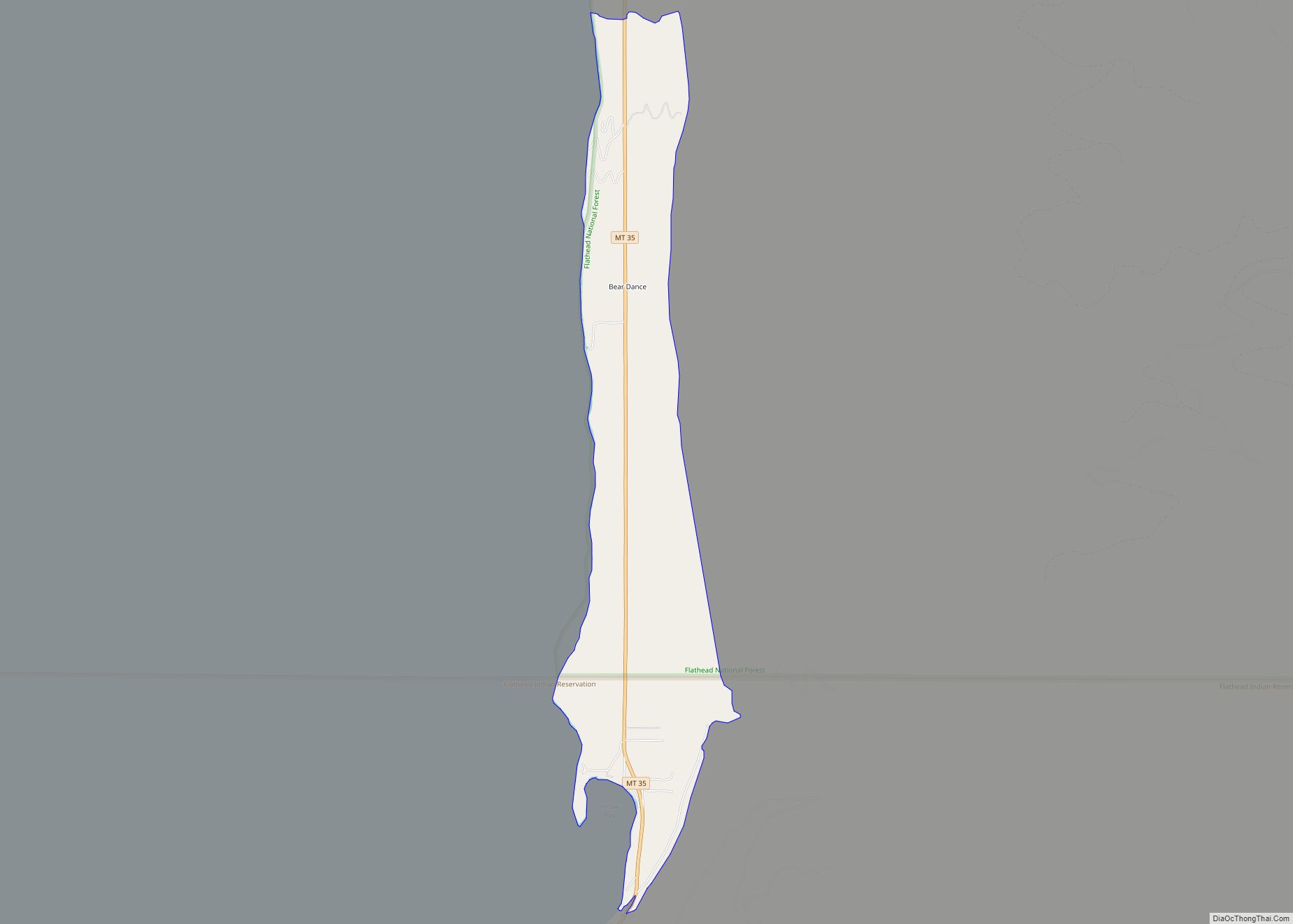
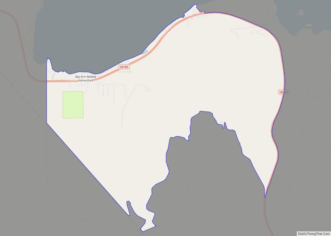
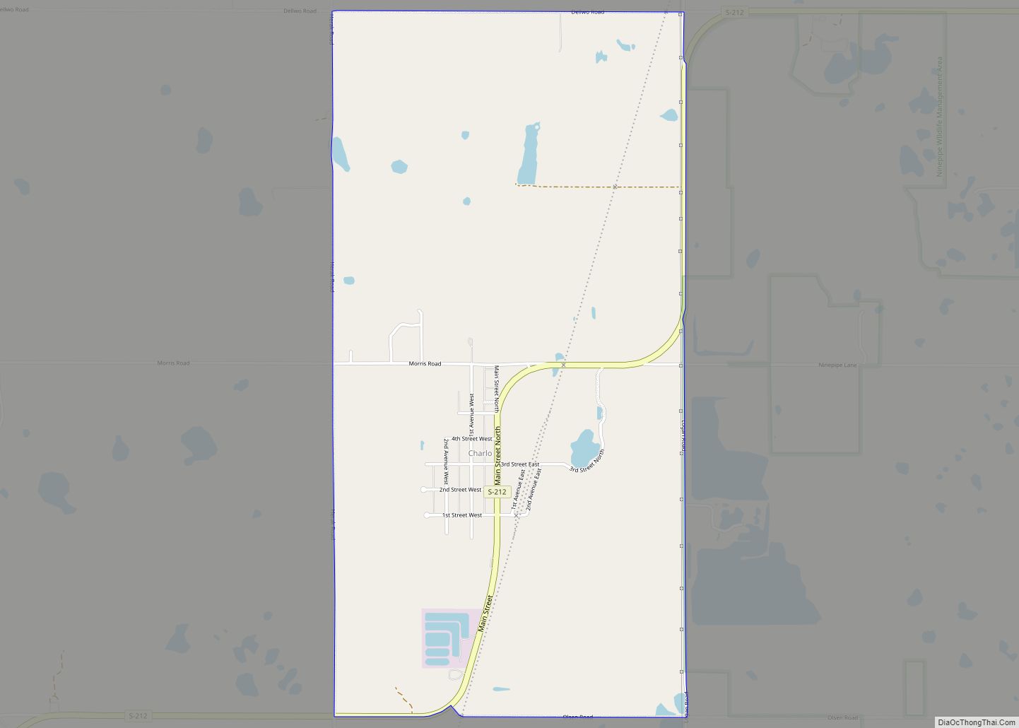
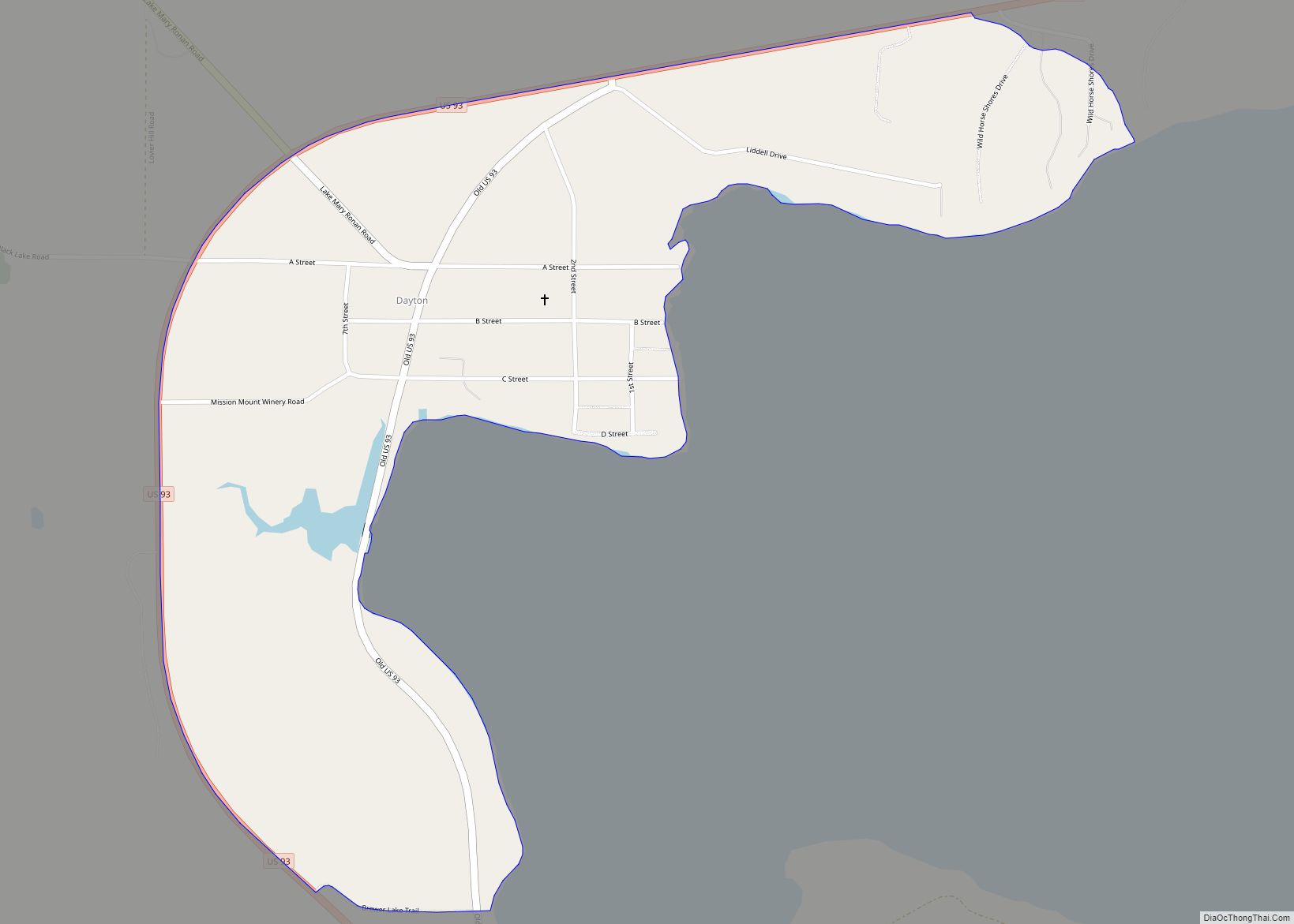
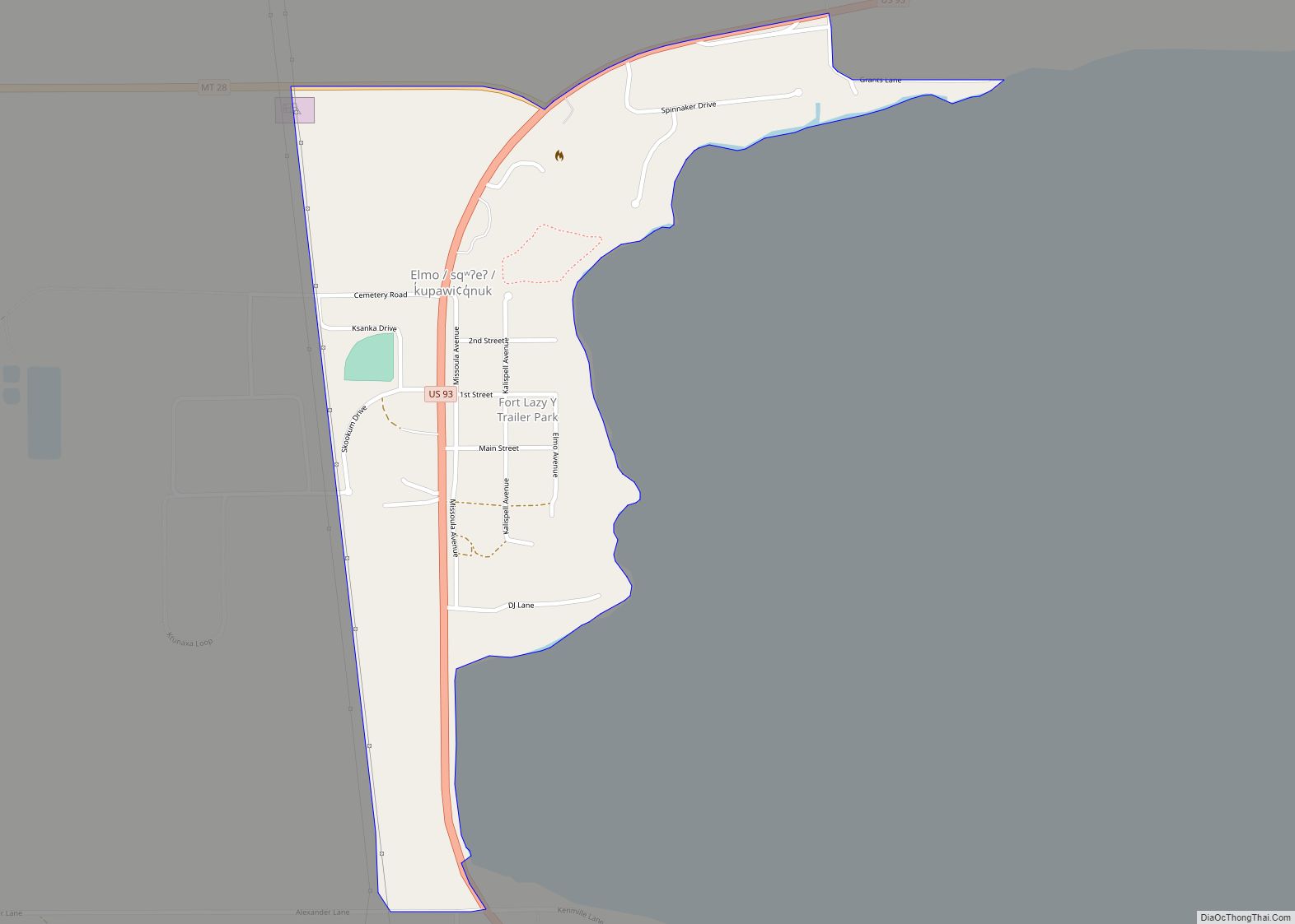
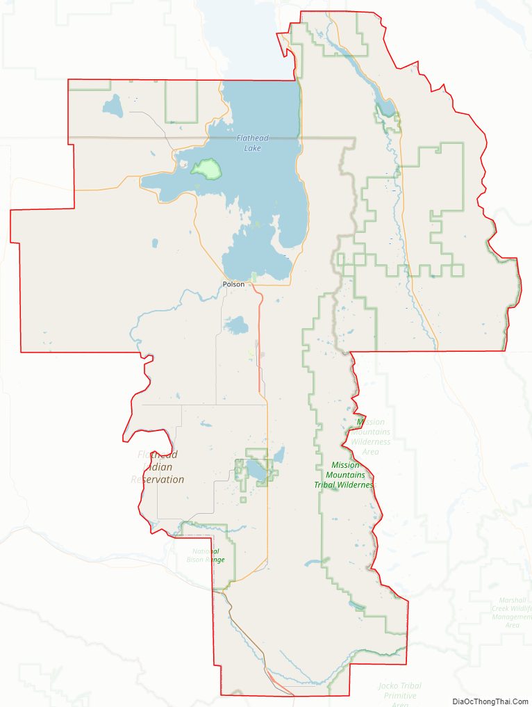
Lake County Road Map
Geography
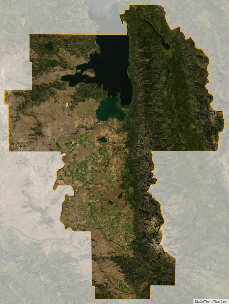
According to the United States Census Bureau, the county has a total area of 1,654 square miles (4,280 km), of which 1,490 square miles (3,900 km) is land and 164 square miles (420 km) (9.9%) is water. Over two-thirds (67.7%) of the county’s land lies within the Flathead Indian Reservation.
Adjacent counties
- Flathead County – north
- Missoula County – east
- Sanders County – west
National protected areas
- Bison Range (part)
- Flathead National Forest (part)
- Ninepipe National Wildlife Refuge
- Pablo National Wildlife Refuge
- Swan River National Wildlife Refuge
Lake County Topographic Map
Lake County Satellite Map
Lake County Outline Map