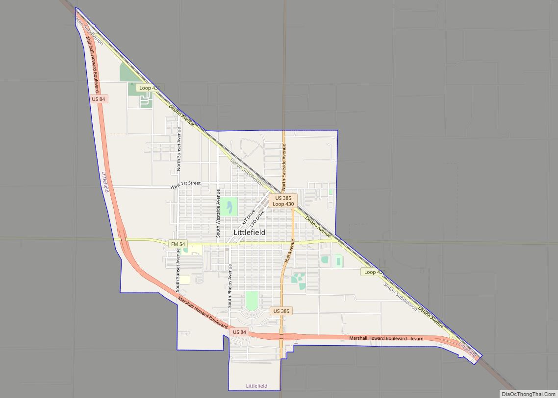
Littlefield is a city in and the county seat of Lamb County, Texas, United States. Its population was 6,372 at the 2010 census. It is located in a significant cotton-growing region, northwest of Lubbock on the Llano Estacado just south of the Texas Panhandle. Littlefield had a large denim-manufacturing plant operated by American Cotton Growers.
| Name: | Littlefield city |
|---|---|
| LSAD Code: | 25 |
| LSAD Description: | city (suffix) |
| State: | Texas |
| County: | Lamb County |
| Elevation: | 3,560 ft (1,090 m) |
| Total Area: | 6.28 sq mi (16.27 km²) |
| Land Area: | 6.28 sq mi (16.27 km²) |
| Water Area: | 0.00 sq mi (0.00 km²) |
| Total Population: | 6,372 |
| Population Density: | 929.97/sq mi (359.07/km²) |
| ZIP code: | 79339 |
| Area code: | 806 |
| FIPS code: | 4843024 |
| Website: | www.littlefieldtexas.org |
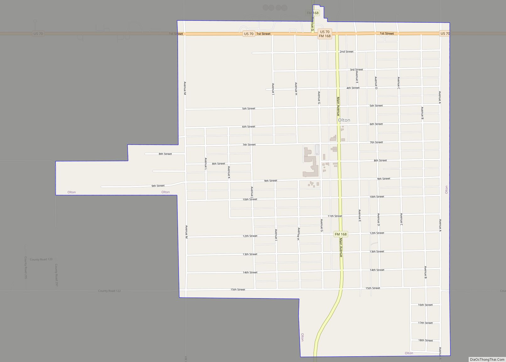
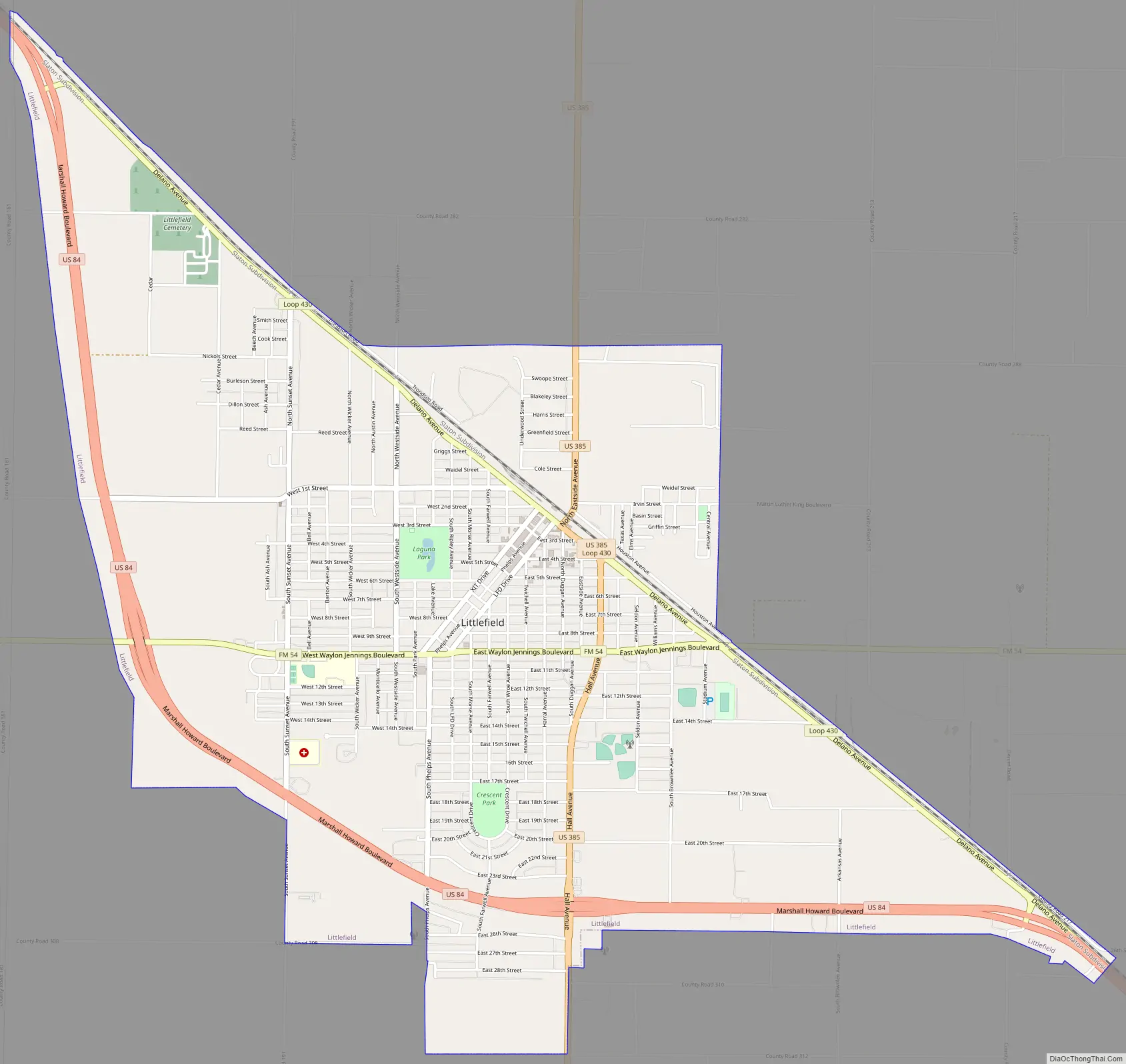
Online Interactive Map
Click on ![]() to view map in "full screen" mode.
to view map in "full screen" mode.
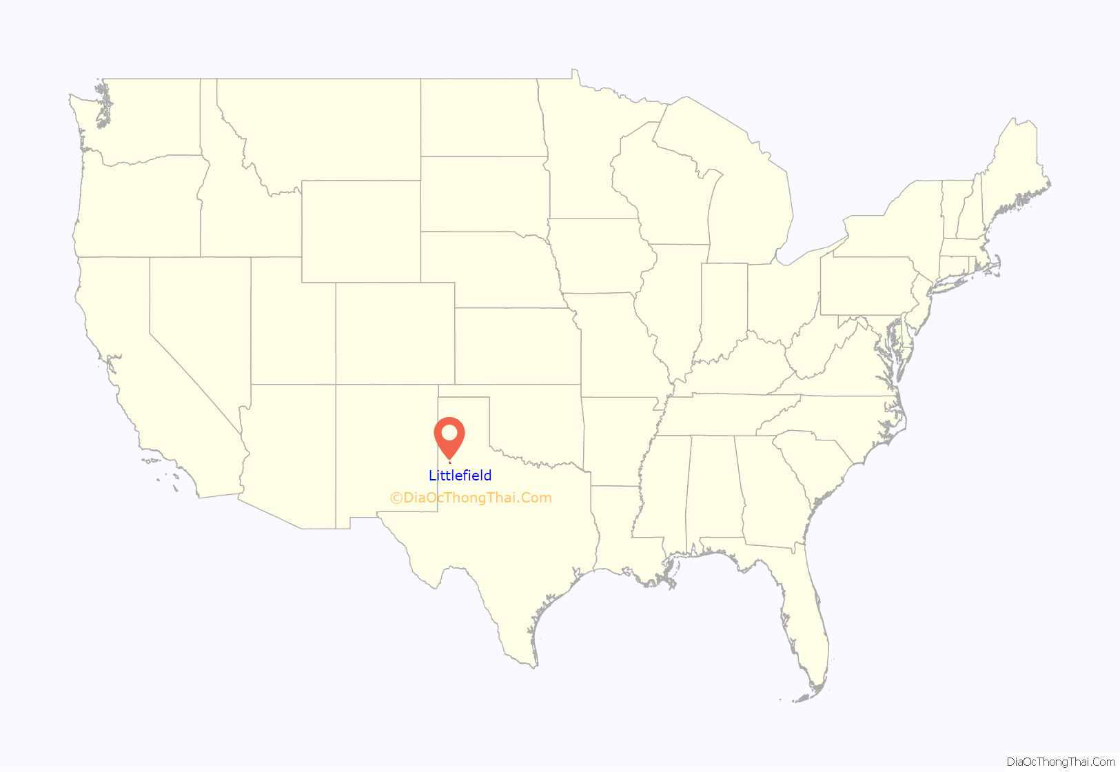
Littlefield location map. Where is Littlefield city?
History
Littlefield is named for George Washington Littlefield. In July 1901, Littlefield purchased the southern, or Yellow Houses, division of the XIT Ranch, forming the Yellow House Ranch. At that time, the ranch covered 312,175 acres (126,333 ha) in Lamb, Hockley, Bailey, and Cochran Counties. In 1912, when surveys showed that a new rail line from Coleman, Texas, to Texico, New Mexico, would pass through his property, Littlefield formed the Littlefield Lands Company to sell the northeastern corner of the Yellow House Ranch, a total of 79,040 acres (31,990 ha), to settlers and to establish the town of Littlefield in Lamb County. Littlefield became a stop on the Panhandle and Santa Fe Railway in 1913.
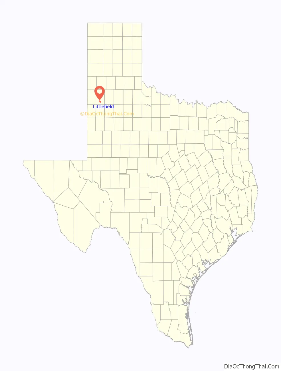
Littlefield Road Map
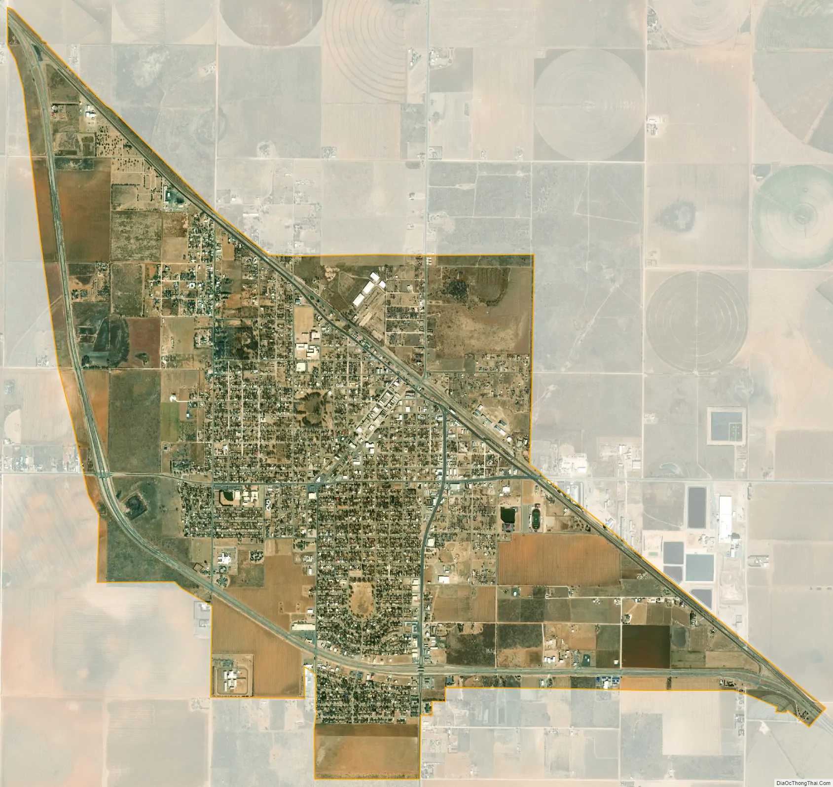
Littlefield city Satellite Map
Geography
Littlefield is located at 33°55′02″N 102°19′30″W / 33.91722°N 102.32500°W / 33.91722; -102.32500 (33.9173148, –102.3249022).
According to the United States Census Bureau, the city has a total area of 6.3 square miles (16.4 km), all land.
Much like nearby Lubbock, Littlefield has a mild, semiarid climate. On average, Littlefield receives 18 inches (460 mm) of precipitation per year. Summers in Littlefield are hot, with high temperatures in the 90s °F (32–37 °C) and dropping into the 60s °F (15–20 °C) at nights. The highest recorded temperature was 112 °F (44 °C) in 1994. Winter days in Littlefield are typically sunny and relatively mild in the mid 50s °F (13 °C), but nights are cold with temperatures dipping to the mid 20s °F (–4 °C). The lowest recorded temperature was –6 °F (–21 °C) in 1979.
See also
Map of Texas State and its subdivision:- Anderson
- Andrews
- Angelina
- Aransas
- Archer
- Armstrong
- Atascosa
- Austin
- Bailey
- Bandera
- Bastrop
- Baylor
- Bee
- Bell
- Bexar
- Blanco
- Borden
- Bosque
- Bowie
- Brazoria
- Brazos
- Brewster
- Briscoe
- Brooks
- Brown
- Burleson
- Burnet
- Caldwell
- Calhoun
- Callahan
- Cameron
- Camp
- Carson
- Cass
- Castro
- Chambers
- Cherokee
- Childress
- Clay
- Cochran
- Coke
- Coleman
- Collin
- Collingsworth
- Colorado
- Comal
- Comanche
- Concho
- Cooke
- Coryell
- Cottle
- Crane
- Crockett
- Crosby
- Culberson
- Dallam
- Dallas
- Dawson
- Deaf Smith
- Delta
- Denton
- Dewitt
- Dickens
- Dimmit
- Donley
- Duval
- Eastland
- Ector
- Edwards
- El Paso
- Ellis
- Erath
- Falls
- Fannin
- Fayette
- Fisher
- Floyd
- Foard
- Fort Bend
- Franklin
- Freestone
- Frio
- Gaines
- Galveston
- Garza
- Gillespie
- Glasscock
- Goliad
- Gonzales
- Gray
- Grayson
- Gregg
- Grimes
- Guadalupe
- Hale
- Hall
- Hamilton
- Hansford
- Hardeman
- Hardin
- Harris
- Harrison
- Hartley
- Haskell
- Hays
- Hemphill
- Henderson
- Hidalgo
- Hill
- Hockley
- Hood
- Hopkins
- Houston
- Howard
- Hudspeth
- Hunt
- Hutchinson
- Irion
- Jack
- Jackson
- Jasper
- Jeff Davis
- Jefferson
- Jim Hogg
- Jim Wells
- Johnson
- Jones
- Karnes
- Kaufman
- Kendall
- Kenedy
- Kent
- Kerr
- Kimble
- King
- Kinney
- Kleberg
- Knox
- La Salle
- Lamar
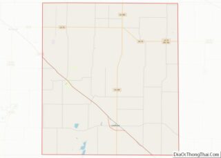
- Lamb
- Lampasas
- Lavaca
- Lee
- Leon
- Liberty
- Limestone
- Lipscomb
- Live Oak
- Llano
- Loving
- Lubbock
- Lynn
- Madison
- Marion
- Martin
- Mason
- Matagorda
- Maverick
- McCulloch
- McLennan
- McMullen
- Medina
- Menard
- Midland
- Milam
- Mills
- Mitchell
- Montague
- Montgomery
- Moore
- Morris
- Motley
- Nacogdoches
- Navarro
- Newton
- Nolan
- Nueces
- Ochiltree
- Oldham
- Orange
- Palo Pinto
- Panola
- Parker
- Parmer
- Pecos
- Polk
- Potter
- Presidio
- Rains
- Randall
- Reagan
- Real
- Red River
- Reeves
- Refugio
- Roberts
- Robertson
- Rockwall
- Runnels
- Rusk
- Sabine
- San Augustine
- San Jacinto
- San Patricio
- San Saba
- Schleicher
- Scurry
- Shackelford
- Shelby
- Sherman
- Smith
- Somervell
- Starr
- Stephens
- Sterling
- Stonewall
- Sutton
- Swisher
- Tarrant
- Taylor
- Terrell
- Terry
- Throckmorton
- Titus
- Tom Green
- Travis
- Trinity
- Tyler
- Upshur
- Upton
- Uvalde
- Val Verde
- Van Zandt
- Victoria
- Walker
- Waller
- Ward
- Washington
- Webb
- Wharton
- Wheeler
- Wichita
- Wilbarger
- Willacy
- Williamson
- Wilson
- Winkler
- Wise
- Wood
- Yoakum
- Young
- Zapata
- Zavala
- Alabama
- Alaska
- Arizona
- Arkansas
- California
- Colorado
- Connecticut
- Delaware
- District of Columbia
- Florida
- Georgia
- Hawaii
- Idaho
- Illinois
- Indiana
- Iowa
- Kansas
- Kentucky
- Louisiana
- Maine
- Maryland
- Massachusetts
- Michigan
- Minnesota
- Mississippi
- Missouri
- Montana
- Nebraska
- Nevada
- New Hampshire
- New Jersey
- New Mexico
- New York
- North Carolina
- North Dakota
- Ohio
- Oklahoma
- Oregon
- Pennsylvania
- Rhode Island
- South Carolina
- South Dakota
- Tennessee
- Texas
- Utah
- Vermont
- Virginia
- Washington
- West Virginia
- Wisconsin
- Wyoming