Burlington is an unincorporated community and census-designated place in Lawrence County, Ohio, United States, along the Ohio River. The population was 2,416 at the 2020 census. Connected to neighboring Huntington, West Virginia and connected via the West Huntington Bridge over the Ohio River, it is part of the Huntington–Ashland metropolitan area. Burlington was once the leading community of Lawrence County, being the first county seat and the location of the county’s first post office.
| Name: | Burlington CDP |
|---|---|
| LSAD Code: | 57 |
| LSAD Description: | CDP (suffix) |
| State: | Ohio |
| County: | Lawrence County |
| Elevation: | 554 ft (169 m) |
| Total Area: | 1.42 sq mi (3.67 km²) |
| Land Area: | 1.39 sq mi (3.61 km²) |
| Water Area: | 0.02 sq mi (0.06 km²) |
| Total Population: | 2,416 |
| Population Density: | 1,733.14/sq mi (669.34/km²) |
| ZIP code: | 45680 (South Point) |
| FIPS code: | 3910352 |
| GNISfeature ID: | 2393357 |
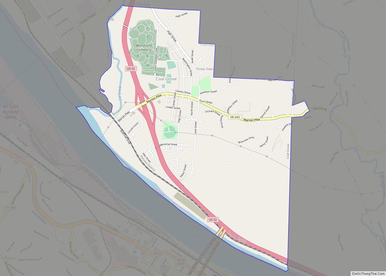
Online Interactive Map
Click on ![]() to view map in "full screen" mode.
to view map in "full screen" mode.
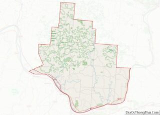
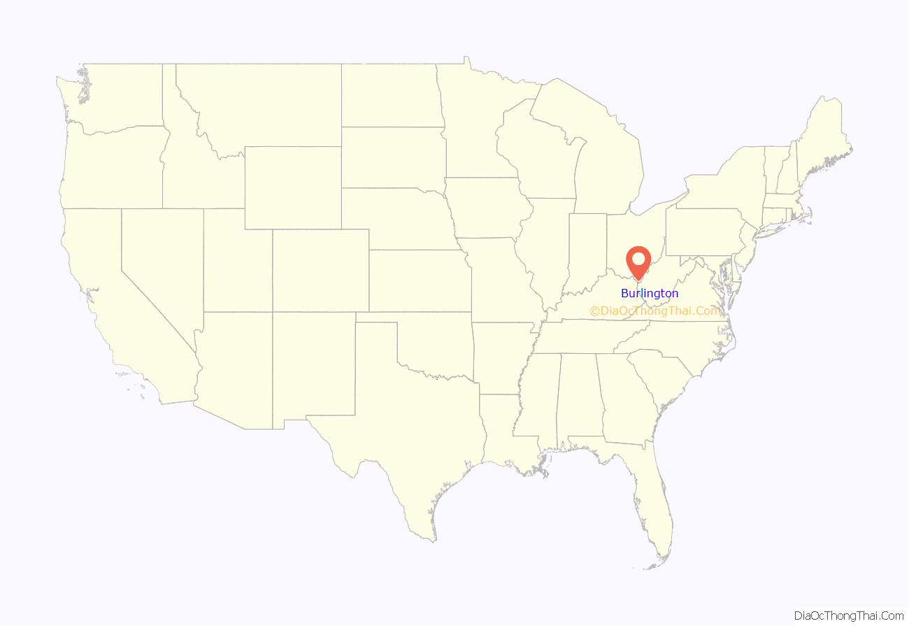
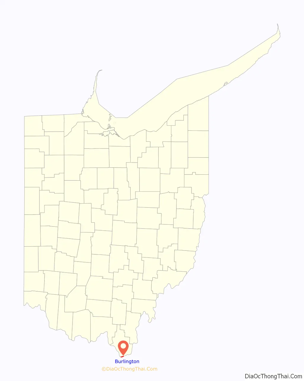
Burlington location map. Where is Burlington CDP?
History
Beginning in 1817, Burlington was the first and previous county seat of Lawrence County, and its post office the only one in the county until 1821. The town was named after Burlington, Vermont.
The Burlington 37 Cemetery, the William C. Johnston House and General Store, and the Old Lawrence County Jail, all located in Burlington, are listed on the National Register of Historic Places, as is the nearby Macedonia Church.
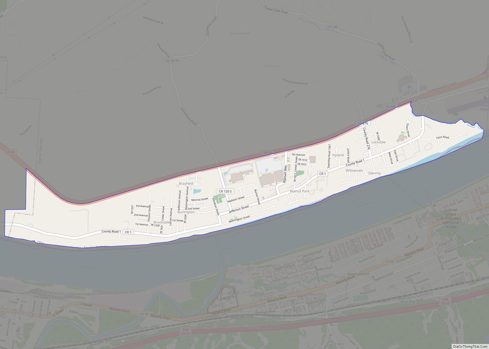
Burlington Road Map
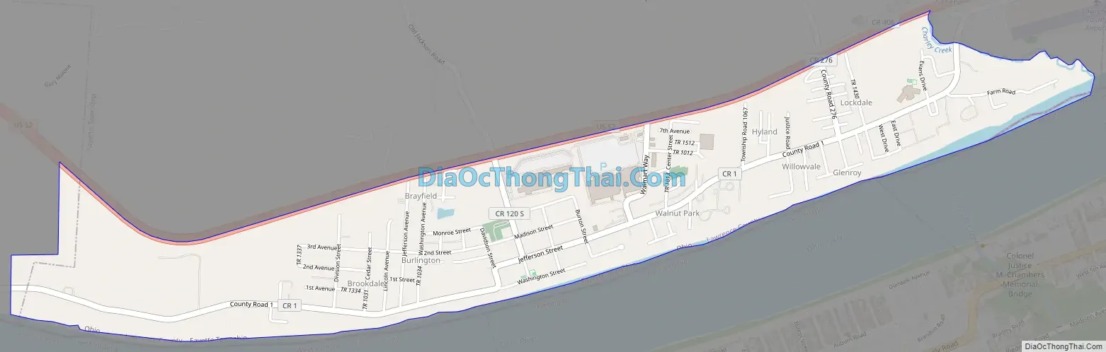
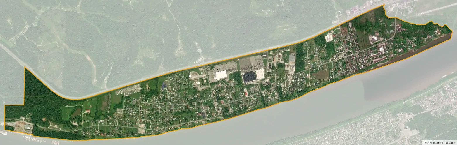
Burlington city Satellite Map
Geography
Burlington is located in southern Lawrence County at 38°24′36″N 82°31′41″W / 38.41000°N 82.52806°W / 38.41000; -82.52806 (38.4100106, -82.5281600).
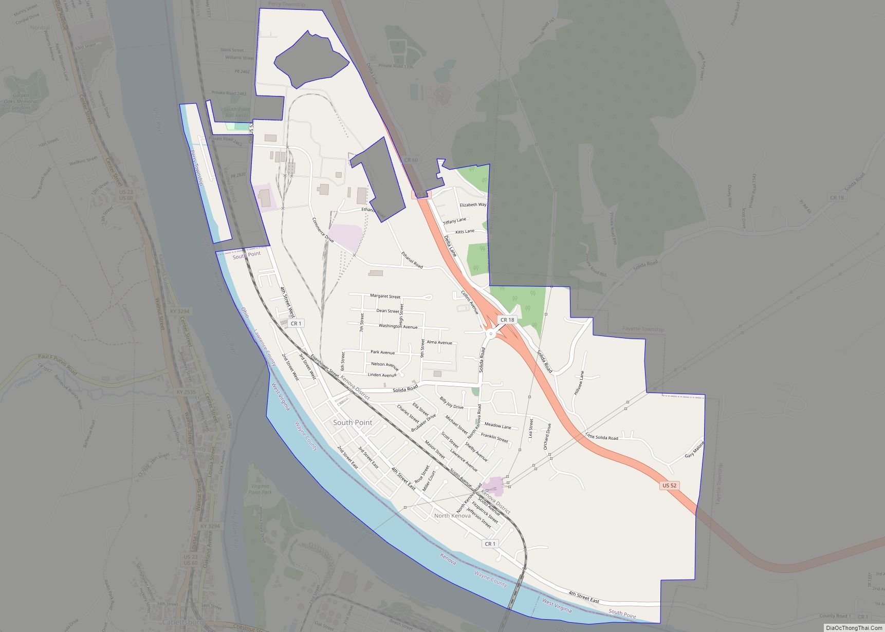
According to the United States Census Bureau, the CDP has a total area of 1.4 square miles (3.6 km), all land. According to Census 2000: Incorporated Places/Census Designated Places, Cartographic Boundary Files – Ohio, the southern boundary of the Burlington CDP ends at the current Ohio River northern shoreline, the northern boundary is U.S. Route 52, the western boundary is the village of South Point, and the eastern boundary is the neighboring Sybene, Ohio.
While the village of South Point claims to be the southernmost point in Ohio, Burlington’s southernmost point, just upstream from South Point’s southern point, is plainly a short distance farther south.
Surrounding communities
Located on the southern shoreline of Fayette Township, Burlington borders the following communities:
- Huntington, West Virginia – southeast, across the Ohio River
- Ceredo, West Virginia — southwest, across the Ohio River
- South Point — west
Union Township and the village of Chesapeake lie a short distance upstream (east), and Perry Township lies a short distance downstream (northwest).
See also
Map of Ohio State and its subdivision:- Adams
- Allen
- Ashland
- Ashtabula
- Athens
- Auglaize
- Belmont
- Brown
- Butler
- Carroll
- Champaign
- Clark
- Clermont
- Clinton
- Columbiana
- Coshocton
- Crawford
- Cuyahoga
- Darke
- Defiance
- Delaware
- Erie
- Fairfield
- Fayette
- Franklin
- Fulton
- Gallia
- Geauga
- Greene
- Guernsey
- Hamilton
- Hancock
- Hardin
- Harrison
- Henry
- Highland
- Hocking
- Holmes
- Huron
- Jackson
- Jefferson
- Knox
- Lake
- Lake Erie
- Lawrence
- Licking
- Logan
- Lorain
- Lucas
- Madison
- Mahoning
- Marion
- Medina
- Meigs
- Mercer
- Miami
- Monroe
- Montgomery
- Morgan
- Morrow
- Muskingum
- Noble
- Ottawa
- Paulding
- Perry
- Pickaway
- Pike
- Portage
- Preble
- Putnam
- Richland
- Ross
- Sandusky
- Scioto
- Seneca
- Shelby
- Stark
- Summit
- Trumbull
- Tuscarawas
- Union
- Van Wert
- Vinton
- Warren
- Washington
- Wayne
- Williams
- Wood
- Wyandot
- Alabama
- Alaska
- Arizona
- Arkansas
- California
- Colorado
- Connecticut
- Delaware
- District of Columbia
- Florida
- Georgia
- Hawaii
- Idaho
- Illinois
- Indiana
- Iowa
- Kansas
- Kentucky
- Louisiana
- Maine
- Maryland
- Massachusetts
- Michigan
- Minnesota
- Mississippi
- Missouri
- Montana
- Nebraska
- Nevada
- New Hampshire
- New Jersey
- New Mexico
- New York
- North Carolina
- North Dakota
- Ohio
- Oklahoma
- Oregon
- Pennsylvania
- Rhode Island
- South Carolina
- South Dakota
- Tennessee
- Texas
- Utah
- Vermont
- Virginia
- Washington
- West Virginia
- Wisconsin
- Wyoming