Auburn is a city in Lee County, Alabama, United States. It is the largest city in eastern Alabama, with a 2020 population of 76,143. It is a principal city of the Auburn-Opelika Metropolitan Area. The Auburn-Opelika, AL MSA with a population of 158,991, along with the Columbus, GA-AL MSA and Tuskegee, Alabama, comprises the greater Columbus-Auburn-Opelika, GA-AL CSA, a region home to 501,649 residents.
Auburn is a historic college town and is the home of Auburn University. It is Alabama’s fastest-growing metropolitan area and the 19th-fastest-growing metro area in the United States since 1990. U.S. News ranked Auburn among its top ten list of best places to live in the United States for the year 2009. The city’s unofficial nickname is “The Loveliest Village on the Plains,” taken from a line in the poem The Deserted Village by Oliver Goldsmith: “Sweet Auburn! Loveliest village of the plain…”
| Name: | Auburn city |
|---|---|
| LSAD Code: | 25 |
| LSAD Description: | city (suffix) |
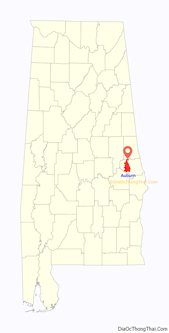
| State: | Alabama |
| County: | Lee County |
| Incorporated: | 1839 |
| Elevation: | 702 ft (214 m) |
| Land Area: | 61.04 sq mi (158.09 km²) |
| Water Area: | 1.03 sq mi (2.67 km²) |
| Population Density: | 1,247.41/sq mi (481.63/km²) |
| Area code: | 334 |
| FIPS code: | 0103076 |
| GNISfeature ID: | 0113277 |
| Website: | www.auburnalabama.org |
Online Interactive Map
Click on ![]() to view map in "full screen" mode.
to view map in "full screen" mode.
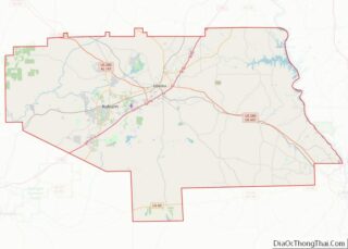
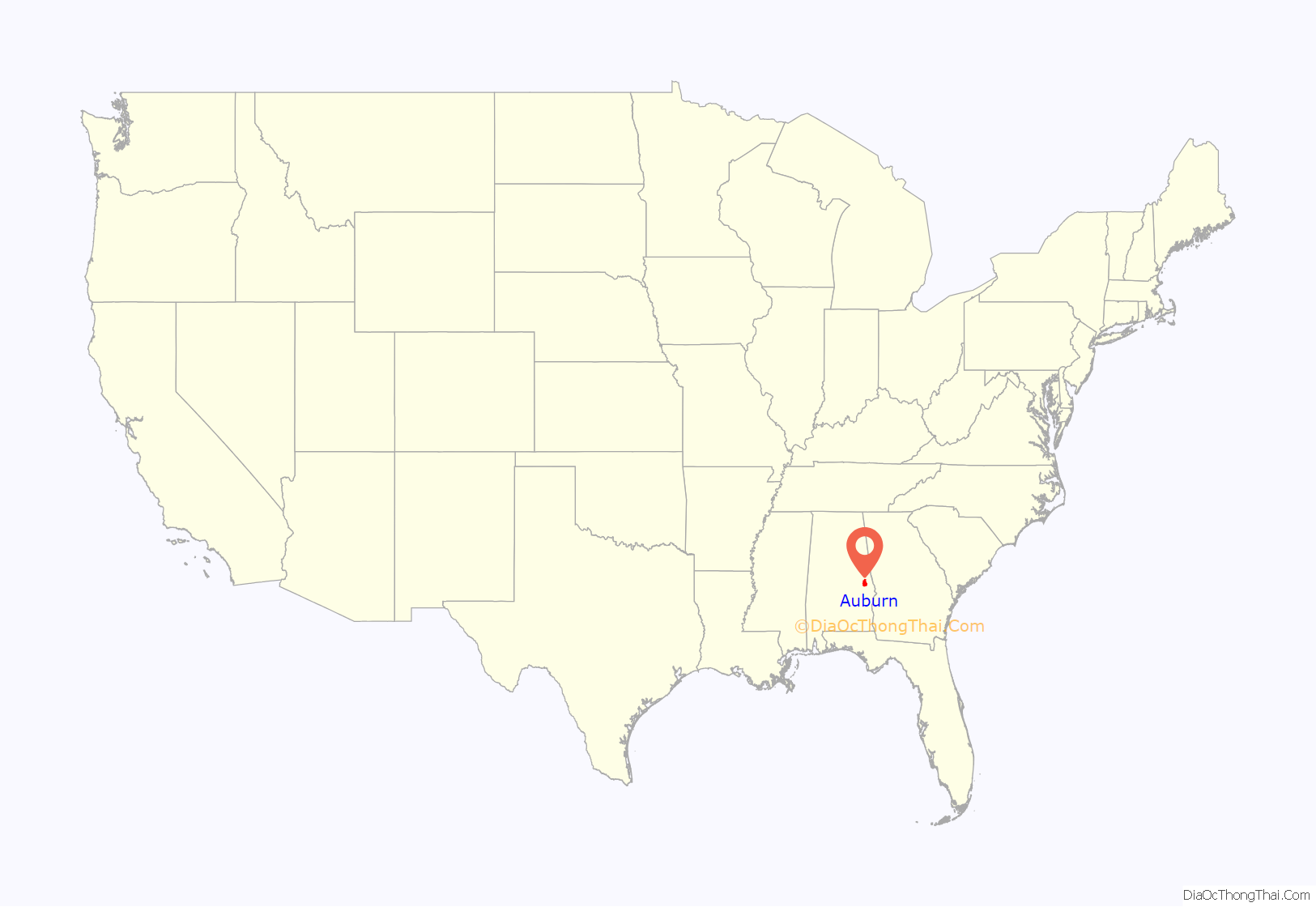
Auburn location map. Where is Auburn city?
History
Inhabited in antiquity by the Creek, the land on which Auburn sits was opened to settlement in 1832 with the Treaty of Cusseta. The first settlers arrived in the winter of 1836 from Harris County, Georgia. These settlers, led by Judge John J. Harper, intended to build a town that would be the religious and educational center for the area.
Auburn was incorporated on February 2, 1839, in what was then Macon County, covering an area of 2 square miles (5.2 km). By that time, Methodist and Baptist churches had been established, and a school had been built and had come into operation. In the mid-1840s, separate academies for boys and girls were established in addition to the primary school. This concentration of educational institutions led to a rapid influx of families from the planter class into Auburn in the 1840s and 1850s. By 1858, of the roughly 1,000 free residents of Auburn, some 500 were students.
In 1856, the state legislature chartered a Methodist college, the East Alabama Male College in Auburn. This college, now Auburn University, opened its doors in 1859, offering a classical and liberal education.
With the advent of the Civil War in 1861, Auburn quickly emptied. All of the schools closed, and most businesses shuttered. Auburn was the site of a hospital for Texan Confederate soldiers, but only saw direct combat with the raids of Rousseau in 1864 and Wilson in 1865.
After the Civil War, Auburn’s economy entered a prolonged depression that would last the remainder of the century. Public schools did not reopen until the mid-1870s, and most businesses remained closed. A series of fires in the 1860s and 1870s gutted the downtown area. East Alabama Male College was turned over to the state in 1872, and with funds from the federal Morrill Act was renamed Alabama Agricultural and Mechanical College with a new mission as a land grant college. Passage of the Hatch Act in 1887 allowed for expansion of agricultural research facilities on campus.
In 1892, the college became the first four-year college in Alabama to admit women. This, combined with increased interest in scientific agriculture and engineering and new funding from business licenses, allowed the city to start expanding again. By 1910, Auburn’s population had returned to its antebellum level. SIAA Conference championships won by the Auburn college’s football team brought attention and support to Auburn, and helped fill the city’s coffers.
Fortunes were quickly reversed with the collapse of cotton prices in the early 1920s and the subsequent Great Depression a decade later. Due to these events, the state government became unable to fund the college, and—as Auburn’s economy was completely derived from the college—residents were forced into a barter economy to support themselves.
Money began to flow into Auburn again with America’s entry into World War II. Auburn’s campus was turned into a training ground for technical specialists in the armed forces. After the war, Auburn was flooded by soldiers returning to school on the G.I. Bill.
Primarily due to this influx of students, Auburn began a period of growth that lasted through the 1950s and 1960s. A considerable amount of residential and business construction pushed Auburn’s growth outside of the original boundaries of the city, leading to a series of large annexations which expanded Auburn to nearly 24 square miles (62 km). Construction of Interstate 85 beginning in 1957 connected Auburn to the major cities of the state. This allowed for Auburn University (renamed in 1960) to schedule more home football games in Auburn rather than in larger cities, creating a strong tourism component in Auburn’s economy. Auburn Mall opened as “Village Mall” in 1973.
Growth slowed somewhat in the 1970s, and a series of budget cuts made it clear that Auburn’s sole economic reliance on Auburn University put the city in a tenuous position.
Backlash against what was seen as an ineffectual city council led to the election of Jan Dempsey as mayor in 1980 and the removal of the previous city government system in favor of a council-manager system. With a new government in place, the city began aggressively pursuing industry, leading to a nearly 1,200% increase in the number of industrial jobs over the next twenty years. As public satisfaction with the city administration reached record levels, Auburn began very rapid residential growth.
A series of reports in the 1980s and 1990s ranking the Auburn public school system among the top in the state and nation convinced thousands of new residents to move to Auburn over the past 25 years. Between 1980 and 2003, Auburn’s population grew by 65%, and Auburn’s economy expanded by 220%.
The population growth has only accelerated into the 21st century, both organically within the city and through annexation and incorporation of surrounding portions of Lee County. Auburn’s population has grown over 77% from 2000 to the latest 2020 decennial census figures. With the continued rapid growth comes issues of urban sprawl and expansions to infrastructure, which has become two of Auburn’s primary political issues.
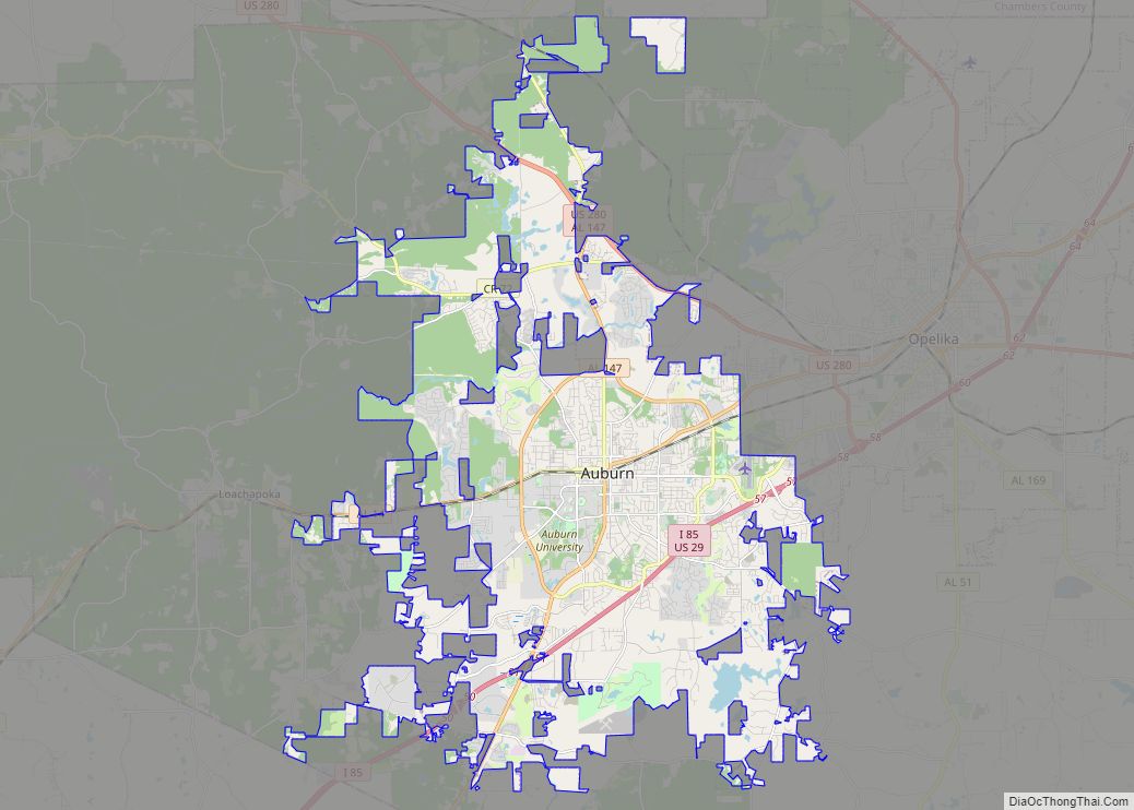
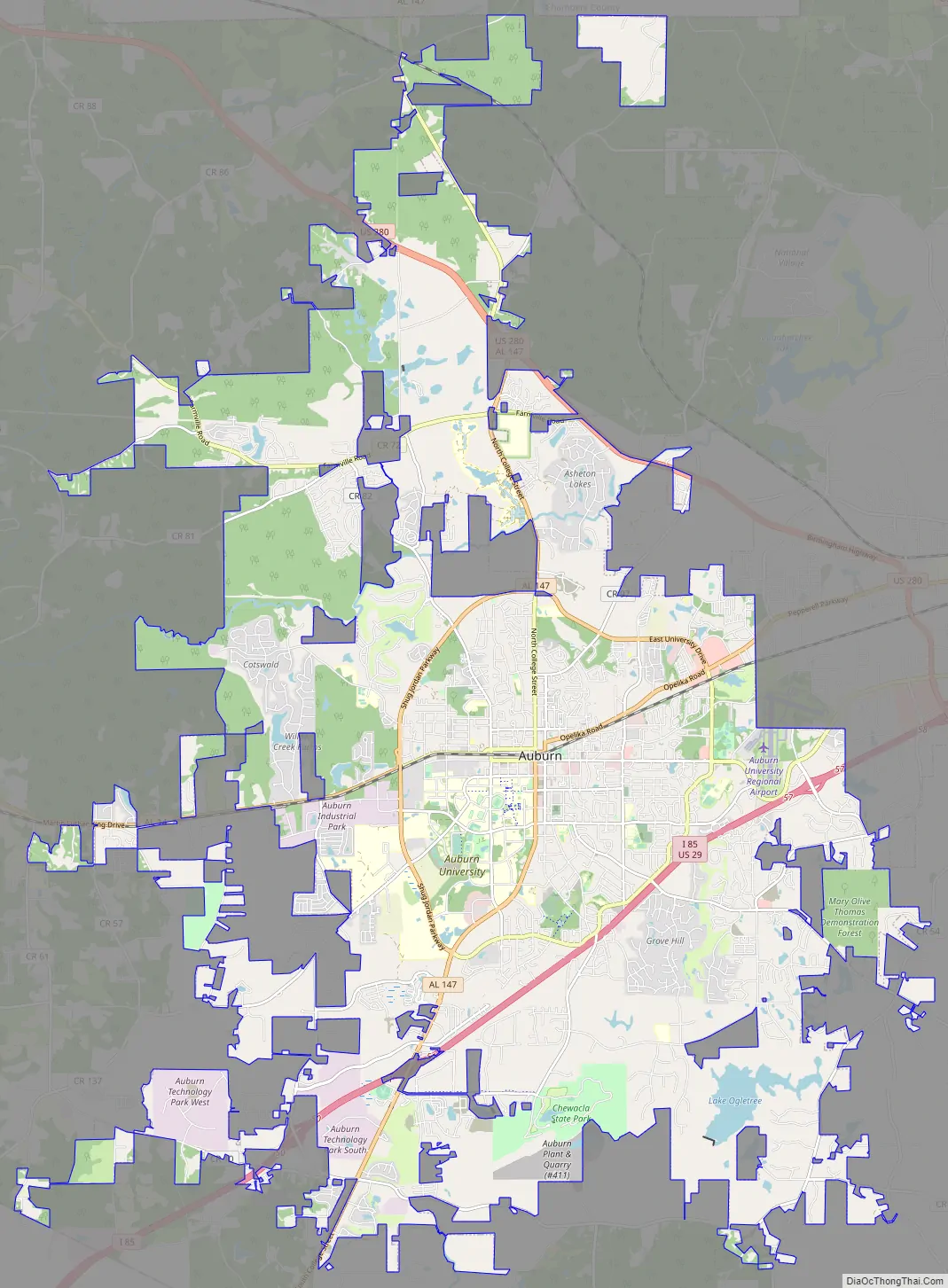
Auburn Road Map
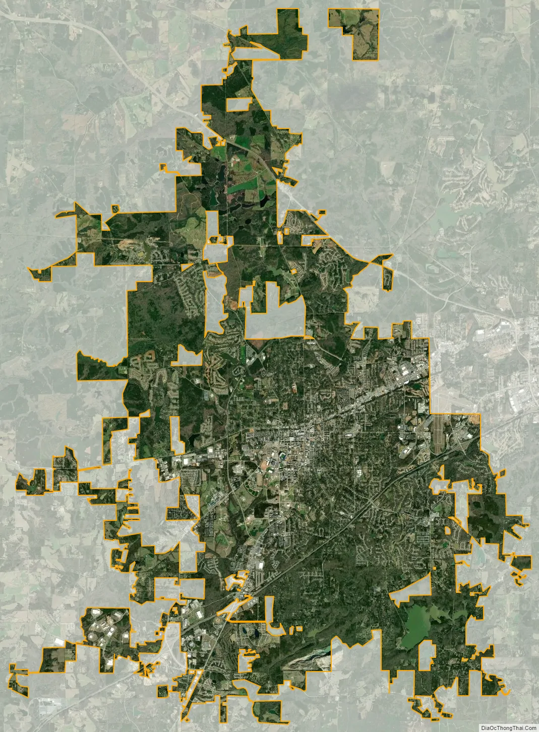
Auburn city Satellite Map
Geography
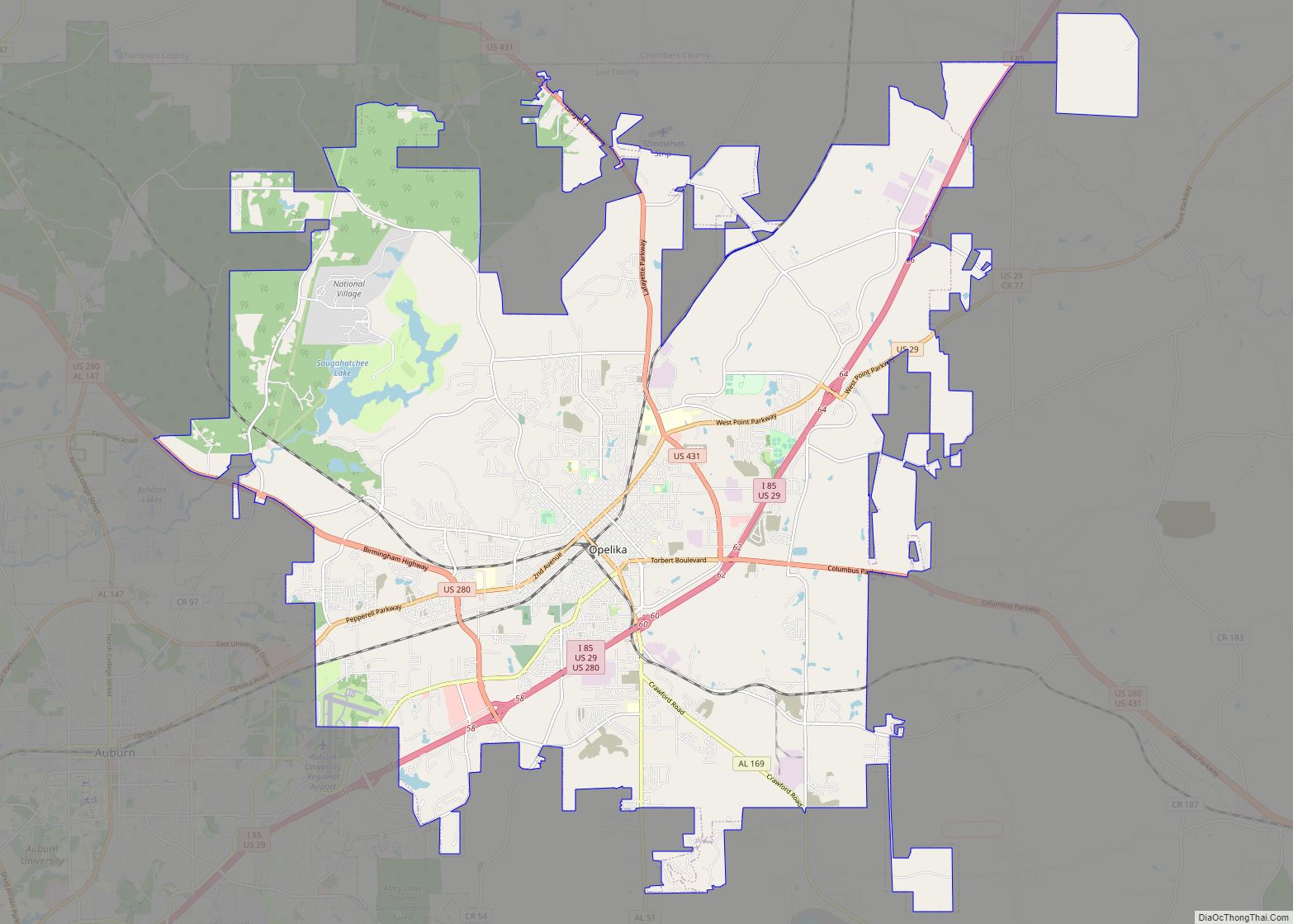
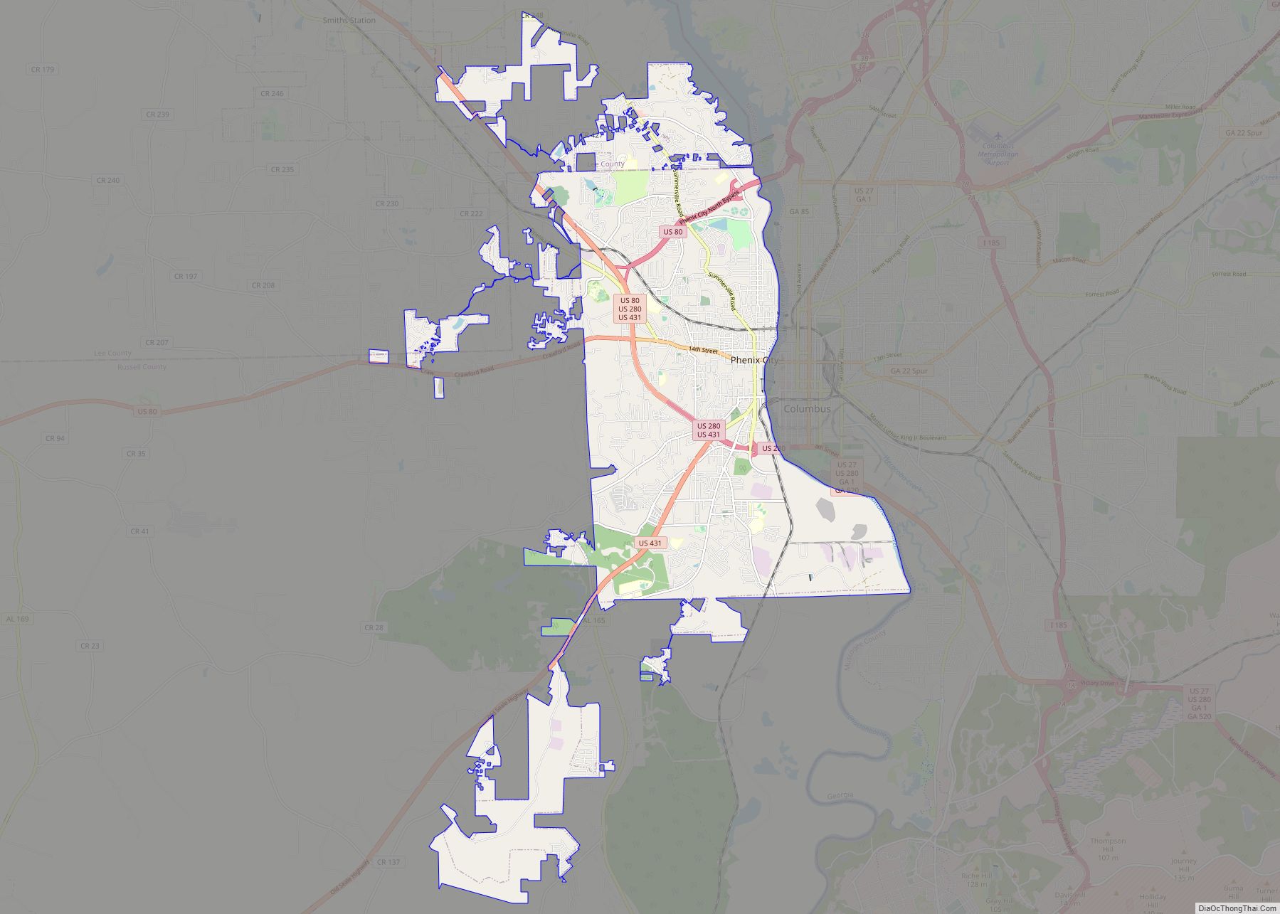
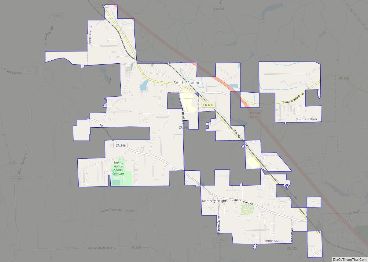
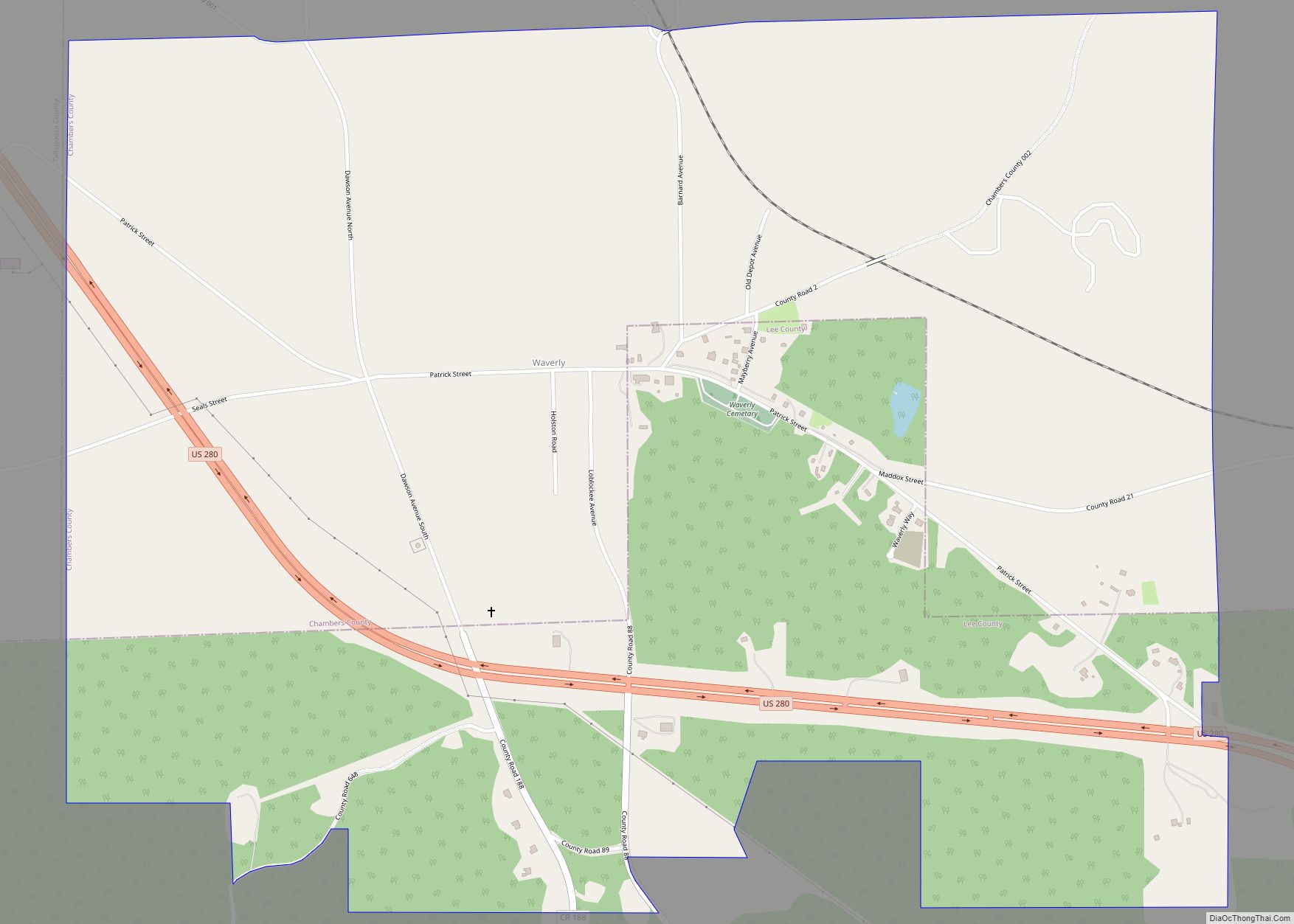
The city of Auburn lies in western Lee County and is bordered by the city of Opelika to the northeast and by Chambers County to the north. The city stretches south to the Macon County line in the southwest.
Auburn sits on the Fall Line at the juncture of the piedmont plateau and the coastal plain. Portions of Auburn also include the southernmost exposure of rocks indicating the Appalachian orogeny—as such, the last foothill of the Appalachian Mountains lies in Chewacla State Park in southern Auburn. As a result of these three varied physical environments, Auburn has an extremely diverse geology.
The southwest and west regions of the city on the plateau are marked by rolling plains and savannahs, with the undeveloped portion primarily being used for cattle grazing and ranching. South of this region sits the coastal plain, with sandy soil and pine forest. Parts of north Auburn have much more rugged topographies, with thick forests in high hills and deep hollows of the type common to parts of eastern Tennessee. The region surrounded by Chewacla Park in the south of the city contains sharp peaks and sudden drops of elevation as the 1.05 billion-year-old rock of the Appalachians meets the coastal plain.
Auburn sits near the divide between the Chattahoochee and Tallapoosa River watersheds, though the vast majority of the city resides in the latter. Auburn is drained by three main creek systems: in the south, by the Chewacla/Opintlocco Creek system; in the north, by the Saugahatchee Creek system; and in the extreme northern reaches of Auburn by Sandy Creek. The dividing line between the Chewacla and Saugahatchee watersheds roughly follows railroad line east–west through the center of town.
Auburn is located at 32°35′52″N 85°28′51″W / 32.59778°N 85.48083°W / 32.59778; -85.48083 (32.597684, −85.480823) and according to the U.S. Census Bureau in 2000, the city has a total area of 39.6 square miles (103 km), of which, 39.1 square miles (101 km) of it is land and 0.4 square miles (1.0 km) of it (1.11%) is water. The elevation of Auburn at City Hall is 709 ft (216 m) above sea level; though due to Auburn’s diverse topography, elevation ranges from 386 ft (118 m) above sea level where Chewacla Creek crosses Sand Hill Road to 845 ft (258 m) above sea level in northern Auburn near the Chambers County line.
Climate
Typical of the Deep South, Auburn has a humid subtropical climate (Köppen Cfa), marked by mild winters, early springs, long, hot, muggy summers, and warm autumns. Due to its position near the Gulf of Mexico, the city receives a significant amount of rainfall—on average, 52.6 inches (1,340 mm) per year—though there is a distinct dry season in the late summer and early fall. Severe storm activity – thunderstorms producing damaging winds and/or large hail – is common from the late winter through early summer. There is the risk of tornadoes. Owing to its proximity to the Gulf, Auburn is also subject to fringe effects from tropical storms and hurricanes in the summer and fall. Hurricanes Opal in 1995 and Ivan in 2004 are among two of the most notable tropical systems to affect the Auburn area in recent memory, bringing torrential rains and high winds.
Winters are typically mild, with an average 0.7 inches (1.8 cm) of snowfall, though more than three-fourths of all seasons do not have any measurable snow. Most days have 50 °F (10 °C)+ highs, and from December to February, an average total of 10–11 days of 70 °F (21 °C)+ highs, while it rarely stays below freezing all day. However, the city straddles the border between USDA Plant Hardiness Zones 7B and 8A, and there are an average of 5.6 nights with sub-20 °F (−7 °C) lows. On the other end, summers are long, hot, and humid, with 57 days of 90 °F (32 °C)+ highs. Although the actual air temperature reaching 100 °F (38 °C) is uncommon (1.2 days annually), high humidity can push daytime heat indices over that mark.
The record high for Auburn is 103 °F (39 °C), set on July 15, 1980 (needs updating), and August 10, 1980, while the record low was −7 °F (−22 °C), set on February 13, 1899, and January 21, 1985.
See also
Map of Alabama State and its subdivision:- Autauga
- Baldwin
- Barbour
- Bibb
- Blount
- Bullock
- Butler
- Calhoun
- Chambers
- Cherokee
- Chilton
- Choctaw
- Clarke
- Clay
- Cleburne
- Coffee
- Colbert
- Conecuh
- Coosa
- Covington
- Crenshaw
- Cullman
- Dale
- Dallas
- De Kalb
- Elmore
- Escambia
- Etowah
- Fayette
- Franklin
- Geneva
- Greene
- Hale
- Henry
- Houston
- Jackson
- Jefferson
- Lamar
- Lauderdale
- Lawrence
- Lee
- Limestone
- Lowndes
- Macon
- Madison
- Marengo
- Marion
- Marshall
- Mobile
- Monroe
- Montgomery
- Morgan
- Perry
- Pickens
- Pike
- Randolph
- Russell
- Saint Clair
- Shelby
- Sumter
- Talladega
- Tallapoosa
- Tuscaloosa
- Walker
- Washington
- Wilcox
- Winston
- Alabama
- Alaska
- Arizona
- Arkansas
- California
- Colorado
- Connecticut
- Delaware
- District of Columbia
- Florida
- Georgia
- Hawaii
- Idaho
- Illinois
- Indiana
- Iowa
- Kansas
- Kentucky
- Louisiana
- Maine
- Maryland
- Massachusetts
- Michigan
- Minnesota
- Mississippi
- Missouri
- Montana
- Nebraska
- Nevada
- New Hampshire
- New Jersey
- New Mexico
- New York
- North Carolina
- North Dakota
- Ohio
- Oklahoma
- Oregon
- Pennsylvania
- Rhode Island
- South Carolina
- South Dakota
- Tennessee
- Texas
- Utah
- Vermont
- Virginia
- Washington
- West Virginia
- Wisconsin
- Wyoming