Marianna is a town in and the county seat of Lee County, Arkansas, United States. As of the 2010 census it had a population of 4,115, but by 2018 the population had dropped to an estimated 3,477.
Located along the L’Anguille River in the Arkansas Delta just north of the St. Francis National Forest, the community was known as “Walnut Ridge” until 1852 when it became known as “Marianna”. The town’s economy has historically been based on agriculture, especially cotton production. The town is located along Crowley’s Ridge Parkway and the Great River Road, both National Scenic Byways showcasing Crowley’s Ridge and the Mississippi River.
| Name: | Marianna city |
|---|---|
| LSAD Code: | 25 |
| LSAD Description: | city (suffix) |
| State: | Arkansas |
| County: | Lee County |
| Elevation: | 230 ft (70 m) |
| Total Area: | 3.61 sq mi (9.36 km²) |
| Land Area: | 3.61 sq mi (9.36 km²) |
| Water Area: | 0.00 sq mi (0.00 km²) |
| Total Population: | 3,575 |
| Population Density: | 989.21/sq mi (381.90/km²) |
| ZIP code: | 72360 |
| Area code: | 870 |
| FIPS code: | 0544120 |
| GNISfeature ID: | 2405017 |
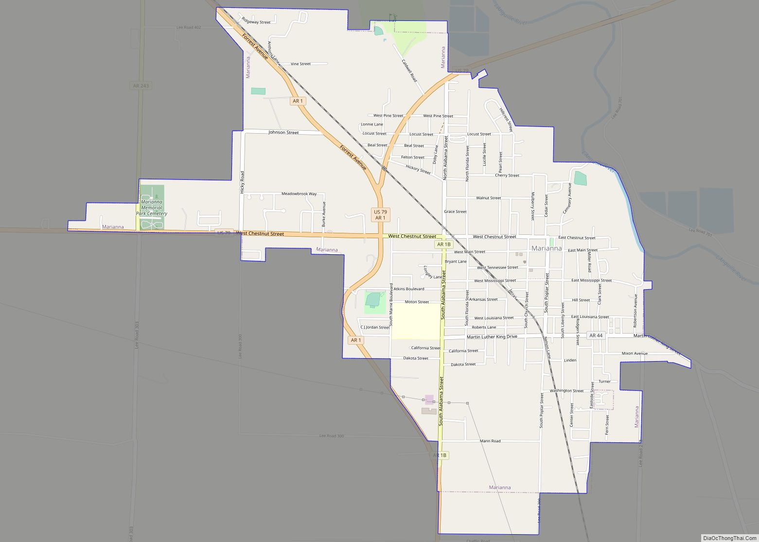
Online Interactive Map
Click on ![]() to view map in "full screen" mode.
to view map in "full screen" mode.
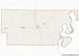
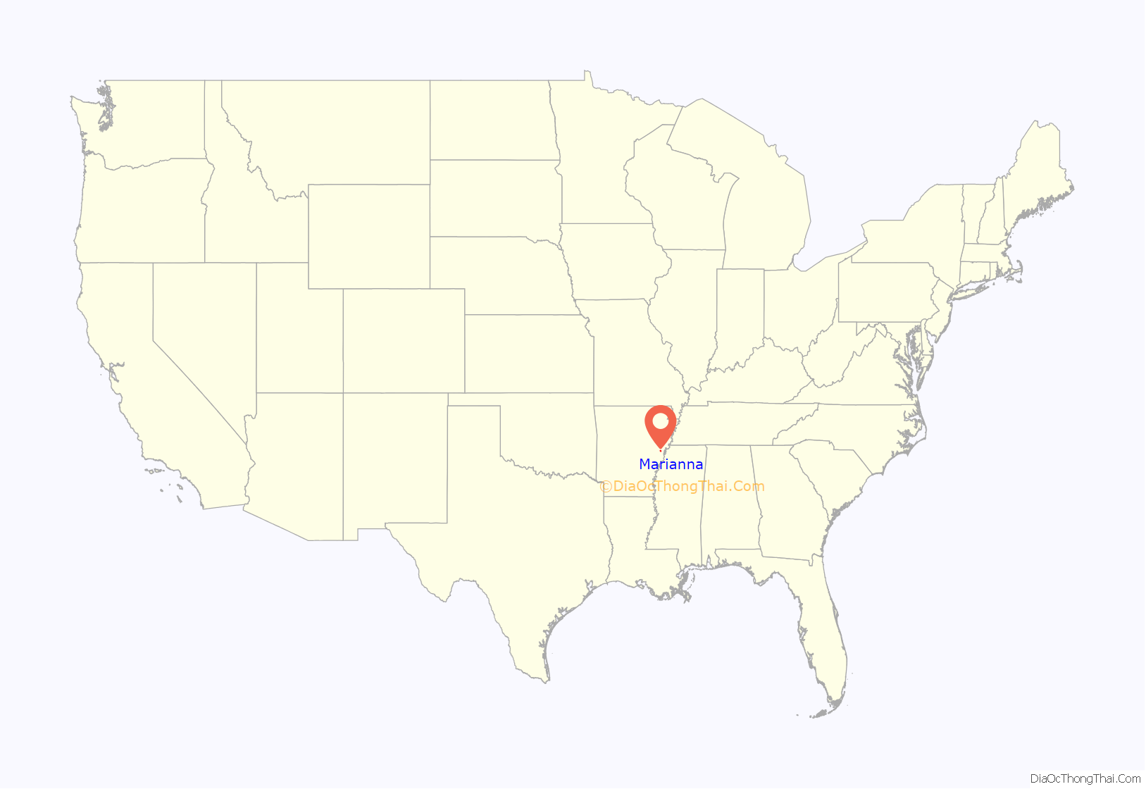
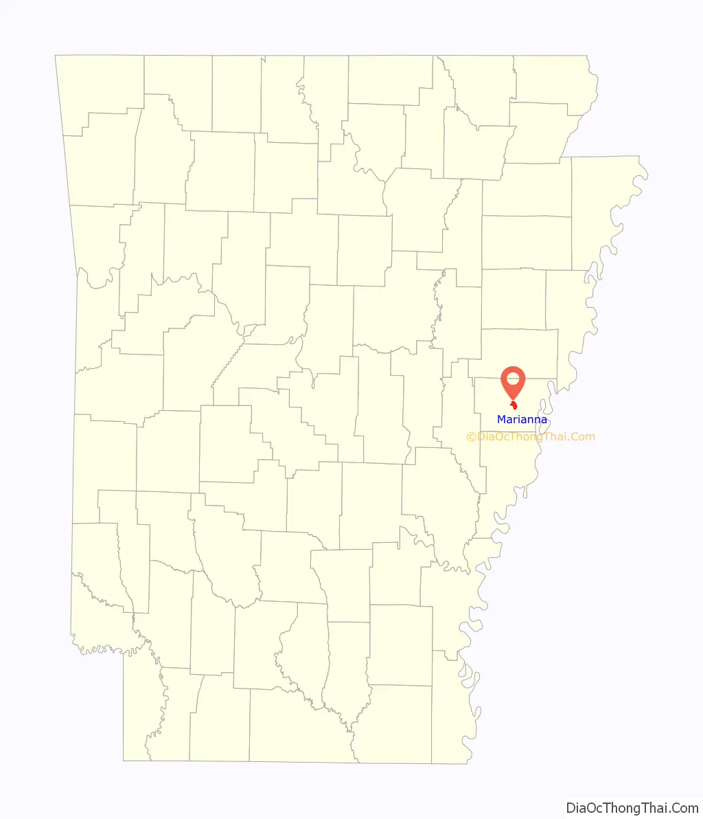
Marianna location map. Where is Marianna city?
History
The community was established by Col. Walter H. Otey in 1848, and was known as Walnut Ridge until 1852.
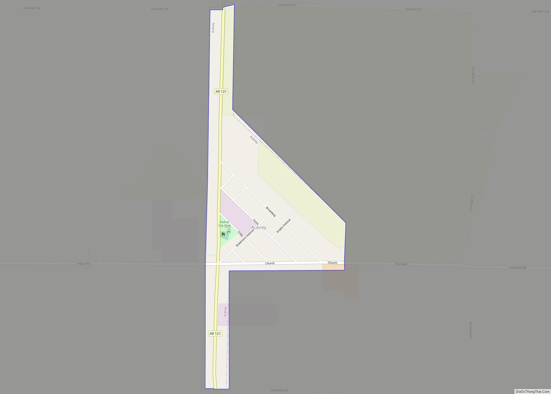
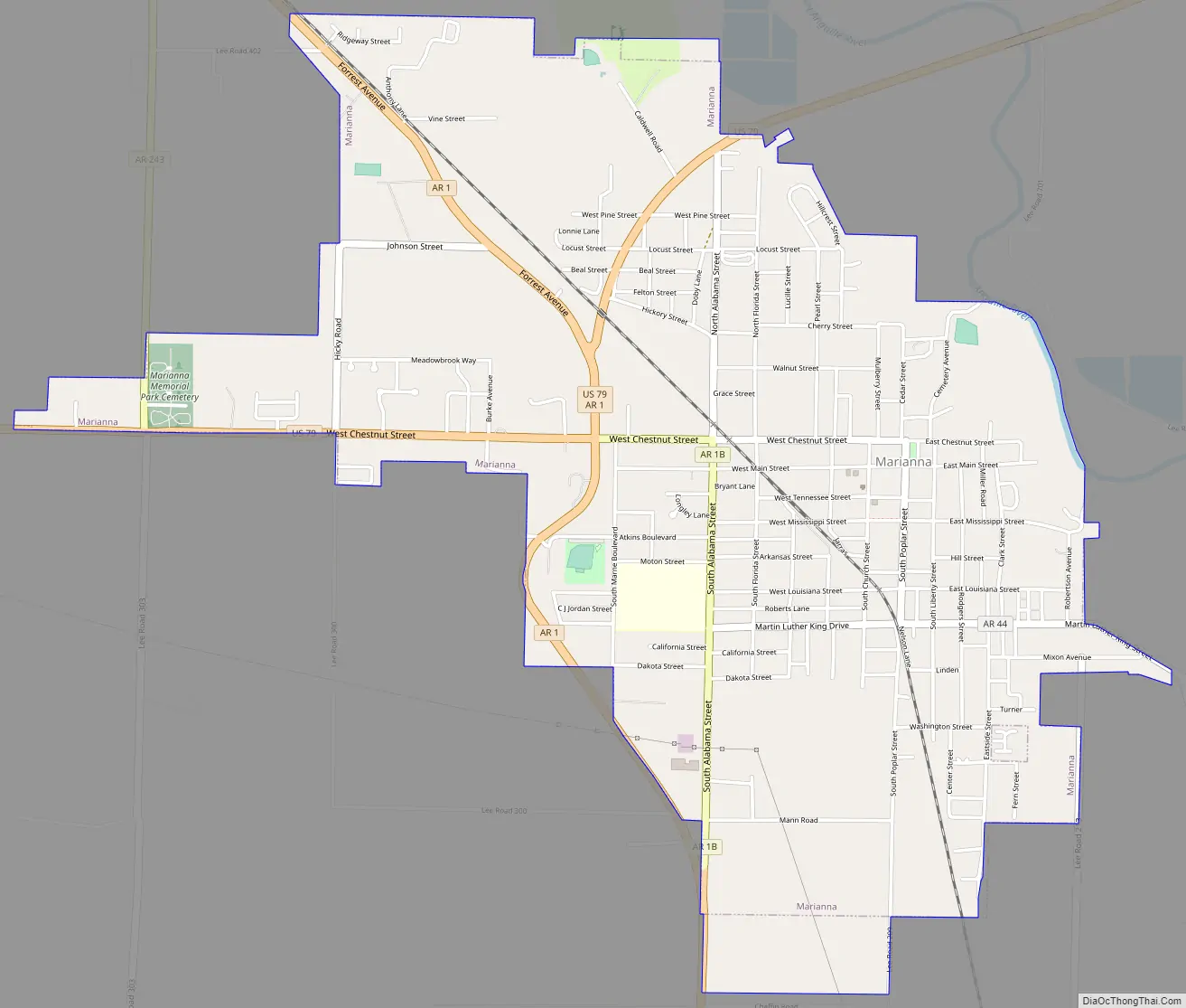
Marianna Road Map
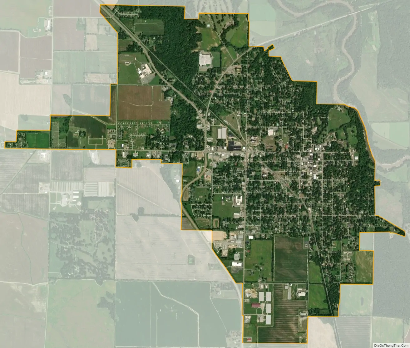
Marianna city Satellite Map
Geography
Marianna is located in the center of the county at the northwest tip of St. Francis National Forest. U.S. Route 79 passes through the north and west sides of the town, leading northeast 58 miles (93 km) to Memphis, Tennessee, and southwest 90 miles (140 km) to Pine Bluff. Arkansas Highway 1 passes through the west side of the town, leading north 18 miles (29 km) to Forrest City and south 16 miles (26 km) to Barton.
The town lies along the west side of the L’Anguille River two miles west of that stream’s confluence with the St. Francis River within a break in elevation of Crowley’s Ridge.
According to the United States Census Bureau, the town has a total area of 3.61 square miles (9.36 km), all land. The town’s current mayor is Jimmy Williams, who took office on January 1, 2011.
See also
Map of Arkansas State and its subdivision:- Arkansas
- Ashley
- Baxter
- Benton
- Boone
- Bradley
- Calhoun
- Carroll
- Chicot
- Clark
- Clay
- Cleburne
- Cleveland
- Columbia
- Conway
- Craighead
- Crawford
- Crittenden
- Cross
- Dallas
- Desha
- Drew
- Faulkner
- Franklin
- Fulton
- Garland
- Grant
- Greene
- Hempstead
- Hot Spring
- Howard
- Independence
- Izard
- Jackson
- Jefferson
- Johnson
- Lafayette
- Lawrence
- Lee
- Lincoln
- Little River
- Logan
- Lonoke
- Madison
- Marion
- Miller
- Mississippi
- Monroe
- Montgomery
- Nevada
- Newton
- Ouachita
- Perry
- Phillips
- Pike
- Poinsett
- Polk
- Pope
- Prairie
- Pulaski
- Randolph
- Saint Francis
- Saline
- Scott
- Searcy
- Sebastian
- Sevier
- Sharp
- Stone
- Union
- Van Buren
- Washington
- White
- Woodruff
- Yell
- Alabama
- Alaska
- Arizona
- Arkansas
- California
- Colorado
- Connecticut
- Delaware
- District of Columbia
- Florida
- Georgia
- Hawaii
- Idaho
- Illinois
- Indiana
- Iowa
- Kansas
- Kentucky
- Louisiana
- Maine
- Maryland
- Massachusetts
- Michigan
- Minnesota
- Mississippi
- Missouri
- Montana
- Nebraska
- Nevada
- New Hampshire
- New Jersey
- New Mexico
- New York
- North Carolina
- North Dakota
- Ohio
- Oklahoma
- Oregon
- Pennsylvania
- Rhode Island
- South Carolina
- South Dakota
- Tennessee
- Texas
- Utah
- Vermont
- Virginia
- Washington
- West Virginia
- Wisconsin
- Wyoming