Augusta is an unincorporated community and census-designated place (CDP) in Lewis and Clark County, Montana, United States. The population was 309 at the 2010 census and rose to 316 in the 2020 census. The most accepted version in the naming of this town is after Augusta Hogan, thought to be the first child born in this town, the daughter of J. D. Hogan, an early rancher.
Augusta is part of the Helena Micropolitan Statistical Area.
The original townsite was dedicated on May 8, 1893. A fire on April 4, 1901, destroyed part of the town.
| Name: | Augusta CDP |
|---|---|
| LSAD Code: | 57 |
| LSAD Description: | CDP (suffix) |
| State: | Montana |
| County: | Lewis and Clark County |
| Elevation: | 4,068 ft (1,240 m) |
| Total Area: | 0.92 sq mi (2.39 km²) |
| Land Area: | 0.92 sq mi (2.39 km²) |
| Water Area: | 0.00 sq mi (0.00 km²) |
| Total Population: | 316 |
| Population Density: | 342.73/sq mi (132.26/km²) |
| ZIP code: | 59410 |
| Area code: | 406 |
| FIPS code: | 3003025 |
| GNISfeature ID: | 0800366 |
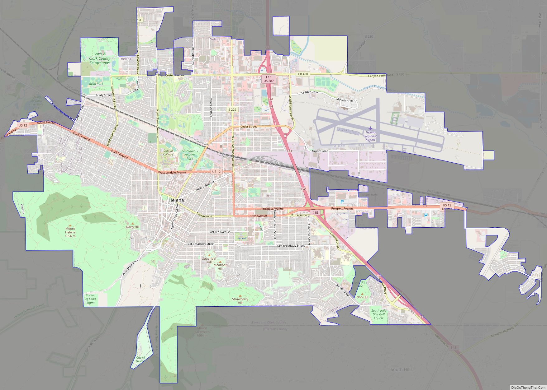
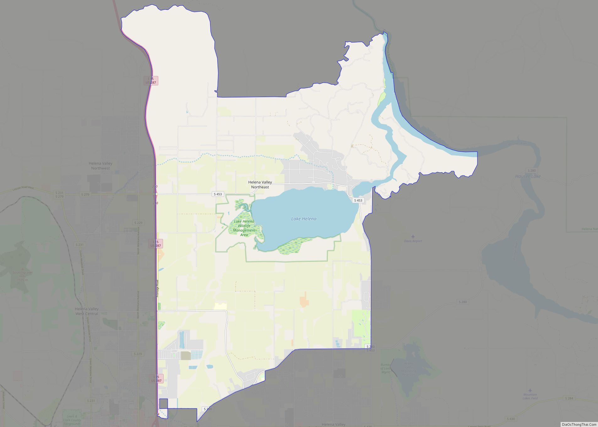
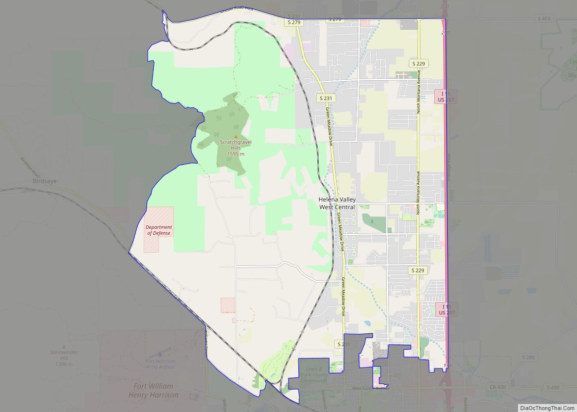
Online Interactive Map
Click on ![]() to view map in "full screen" mode.
to view map in "full screen" mode.
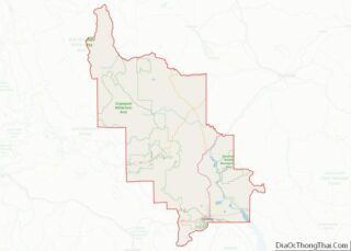
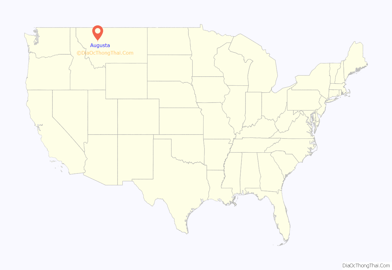
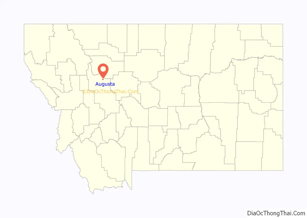
Augusta location map. Where is Augusta CDP?
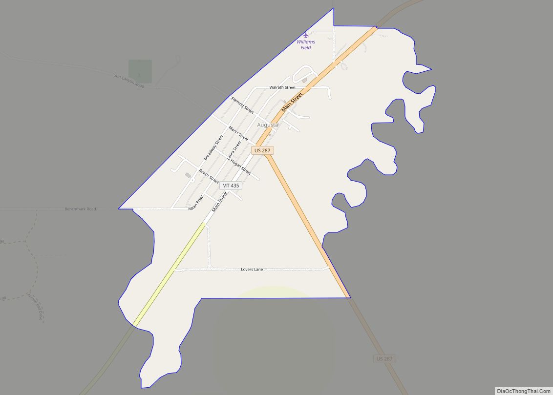
Augusta Road Map

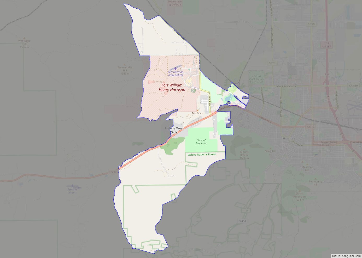
Augusta city Satellite Map

Geography
Augusta is located in northern Lewis and Clark County at 47°29′27″N 112°23′39″W / 47.49083°N 112.39417°W / 47.49083; -112.39417 (47.490892, -112.394181), on the north side of Elk Creek (or the South Fork of the Sun River), which flows out of the Lewis and Clark Range to the southwest and leads northeast to the Sun River, part of the Missouri River watershed.
U.S. Route 287 passes through Augusta as the northern part of its Main Street, and leads north 26 miles (42 km) to its northern terminus at Choteau and south 38 miles (61 km) to Interstate 15 near Wolf Creek. Helena, the state capital, is 76 miles (122 km) south of Augusta via US 287 and I-15. Montana Highway 21 leads east from Augusta 22 miles (35 km) to Simms and is the first in a series of highways that lead east 54 miles (87 km) to Great Falls.
According to the United States Census Bureau, the Augusta CDP has a total area of 0.93 square miles (2.4 km), all land.
Augusta is a gateway to the Bob Marshall Wilderness and Scapegoat Wilderness areas and the Lewis and Clark National Forest.
Climate
According to the Köppen Climate Classification system, Augusta has a semi-arid climate, abbreviated “BSk” on climate maps.
See also
Map of Montana State and its subdivision:- Beaverhead
- Big Horn
- Blaine
- Broadwater
- Carbon
- Carter
- Cascade
- Chouteau
- Custer
- Daniels
- Dawson
- Deer Lodge
- Fallon
- Fergus
- Flathead
- Gallatin
- Garfield
- Glacier
- Golden Valley
- Granite
- Hill
- Jefferson
- Judith Basin
- Lake
- Lewis and Clark
- Liberty
- Lincoln
- Madison
- McCone
- Meagher
- Mineral
- Missoula
- Musselshell
- Park
- Petroleum
- Phillips
- Pondera
- Powder River
- Powell
- Prairie
- Ravalli
- Richland
- Roosevelt
- Rosebud
- Sanders
- Sheridan
- Silver Bow
- Stillwater
- Sweet Grass
- Teton
- Toole
- Treasure
- Valley
- Wheatland
- Wibaux
- Yellowstone
- Alabama
- Alaska
- Arizona
- Arkansas
- California
- Colorado
- Connecticut
- Delaware
- District of Columbia
- Florida
- Georgia
- Hawaii
- Idaho
- Illinois
- Indiana
- Iowa
- Kansas
- Kentucky
- Louisiana
- Maine
- Maryland
- Massachusetts
- Michigan
- Minnesota
- Mississippi
- Missouri
- Montana
- Nebraska
- Nevada
- New Hampshire
- New Jersey
- New Mexico
- New York
- North Carolina
- North Dakota
- Ohio
- Oklahoma
- Oregon
- Pennsylvania
- Rhode Island
- South Carolina
- South Dakota
- Tennessee
- Texas
- Utah
- Vermont
- Virginia
- Washington
- West Virginia
- Wisconsin
- Wyoming