Weston is a city in Lewis County, West Virginia, United States. The population was 3,943 at the 2020 census. It is the county seat of Lewis County, and home to the Museum of American Glass in West Virginia and the Trans-Allegheny Lunatic Asylum.
| Name: | Weston city |
|---|---|
| LSAD Code: | 25 |
| LSAD Description: | city (suffix) |
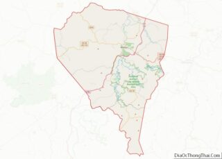
| State: | West Virginia |
| County: | Lewis County |
| Incorporated: | 1818 (town) 1913 (city) |
| Elevation: | 1,020 ft (311 m) |
| Total Area: | 1.99 sq mi (5.16 km²) |
| Land Area: | 1.94 sq mi (5.03 km²) |
| Water Area: | 0.05 sq mi (0.13 km²) |
| Total Population: | 3,952 |
| Population Density: | 1,984.05/sq mi (766.11/km²) |
| ZIP code: | 26452 |
| Area code: | 304 |
| FIPS code: | 5485972 |
| GNISfeature ID: | 1548967 |
| Website: | www.cityofwestonwv.com |
Online Interactive Map
Click on ![]() to view map in "full screen" mode.
to view map in "full screen" mode.
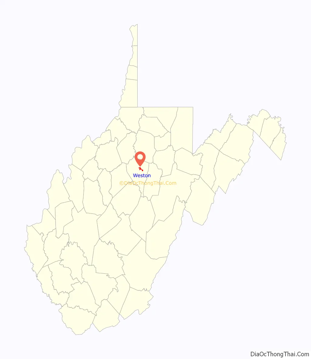
Weston location map. Where is Weston city?

History
Weston was founded in 1818 as Preston; the name was changed to Fleshersville soon after, and then to Weston in 1819. The city was incorporated in 1846.
Weston is the site of the former Trans-Allegheny Lunatic Asylum, a psychiatric hospital and National Historic Landmark which has been mostly vacant since its closure in 1994 upon its replacement by the nearby William R. Sharpe Jr. Hospital. Jackson’s Mill, a childhood home of Stonewall Jackson, is approximately four miles (6 km) north of Weston; it has been operated as a 4-H facility since the 1920s and is also the site of conference center operated by the West Virginia University Extension Service. It is listed on the National Register of Historic Places as the Jackson’s Mill State 4-H Camp Historic District.
Weston has two national historic districts: the Weston Downtown Historic District and Weston Downtown Residential Historic District. Other buildings on the National Register of Historic Places are the Jonathan M. Bennett House and the former Weston Colored School.
Main Avenue c. 1912
Weston State Hospital
Lewis County Courthouse
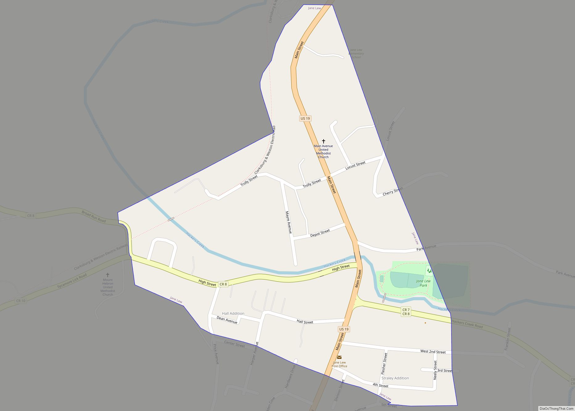
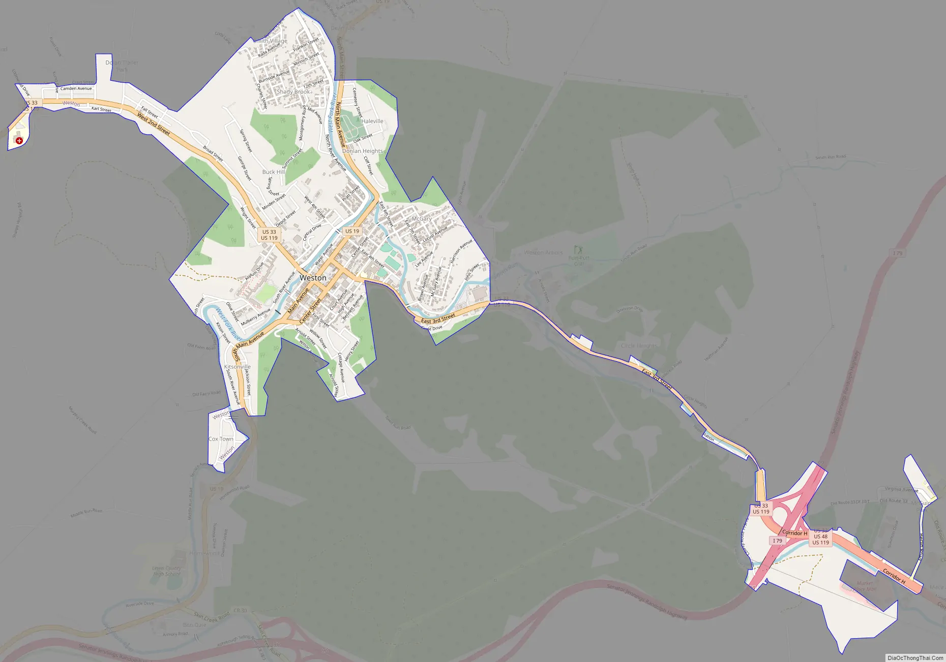
Weston Road Map
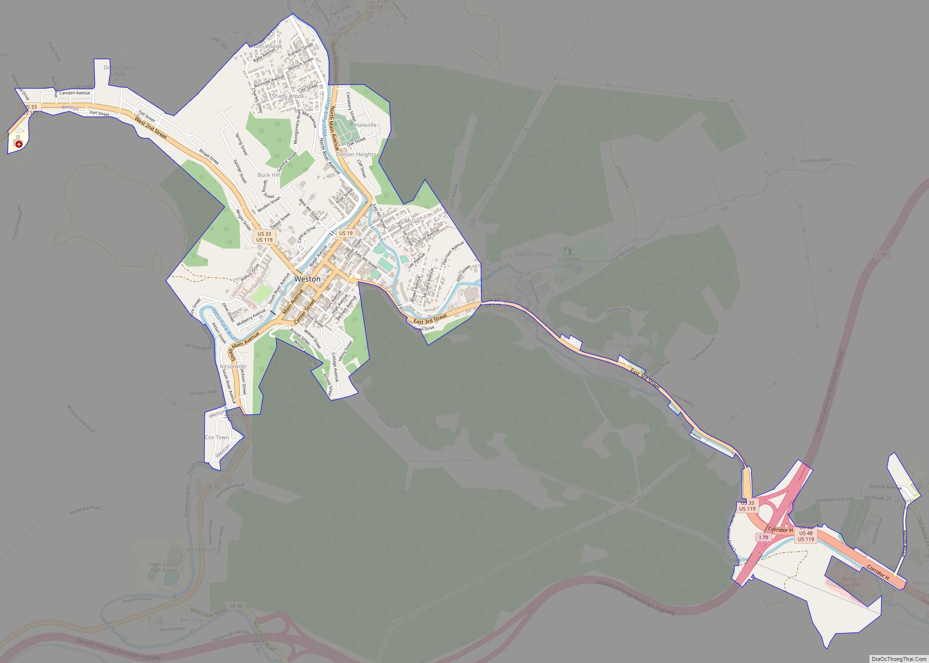
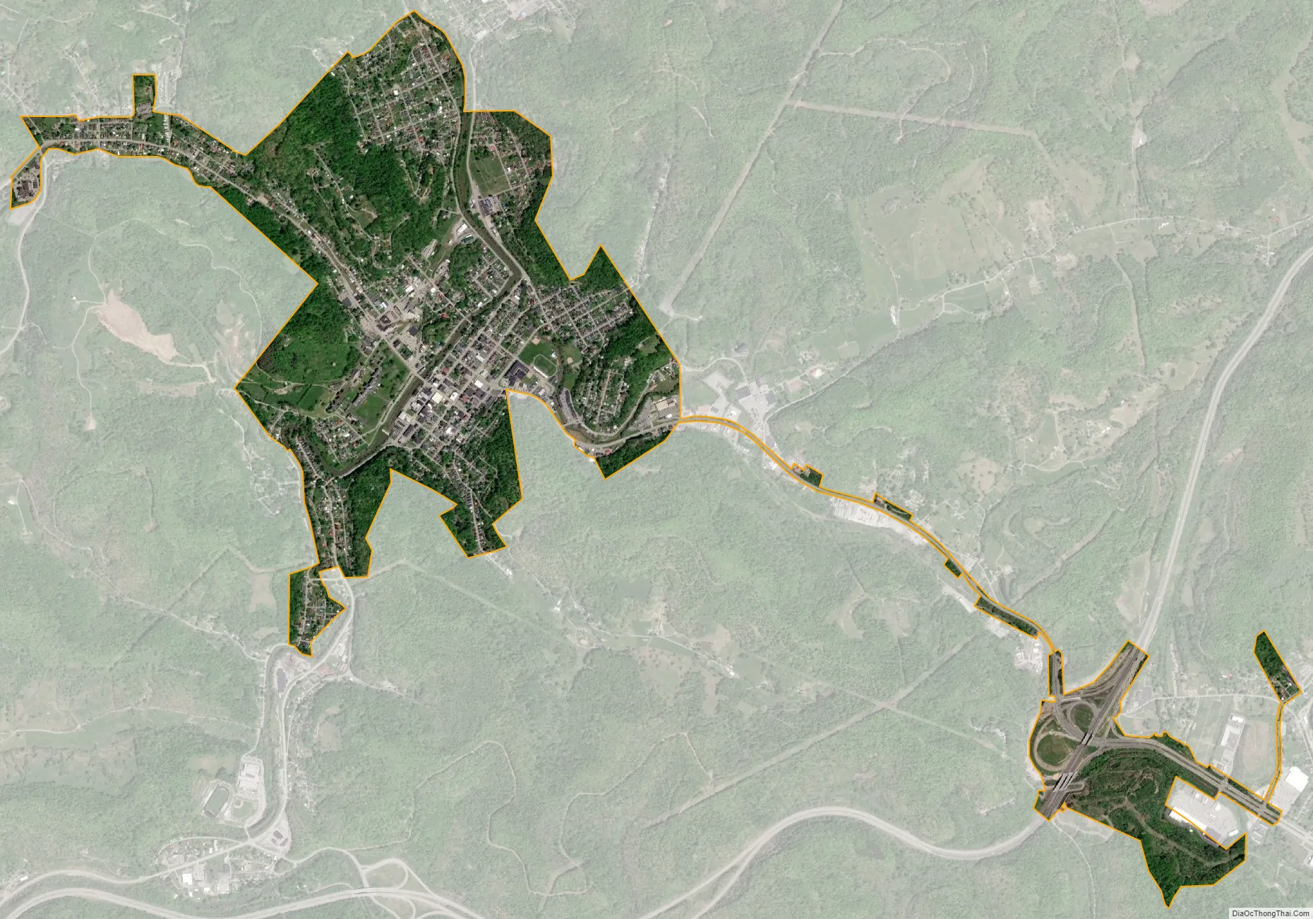
Weston city Satellite Map
Geography
Weston is located 15 miles (24 km) west of Buckhannon and 20 miles (32 km) south of Clarksburg at 39°2′31″N 80°28′12″W / 39.04194°N 80.47000°W / 39.04194; -80.47000 (39.041857, -80.469929), along the West Fork River at its confluence with Stonecoal Creek in North Central West Virginia.
According to the United States Census Bureau, the city has a total area of 2.00 square miles (5.18 km), of which 1.95 square miles (5.05 km) are land and 0.05 square miles (0.13 km) are water.
The city is crossed by Interstate 79, U.S. Route 19, U.S. Route 33 and U.S. Route 119.
Climate
The climate in this area is characterized by hot, humid summers and generally mild to cool winters. According to the Köppen Climate Classification system, Weston has a humid subtropical climate, abbreviated “Cfa” on climate maps.
See also
Map of West Virginia State and its subdivision:- Barbour
- Berkeley
- Boone
- Braxton
- Brooke
- Cabell
- Calhoun
- Clay
- Doddridge
- Fayette
- Gilmer
- Grant
- Greenbrier
- Hampshire
- Hancock
- Hardy
- Harrison
- Jackson
- Jefferson
- Kanawha
- Lewis
- Lincoln
- Logan
- Marion
- Marshall
- Mason
- McDowell
- Mercer
- Mineral
- Mingo
- Monongalia
- Monroe
- Morgan
- Nicholas
- Ohio
- Pendleton
- Pleasants
- Pocahontas
- Preston
- Putnam
- Raleigh
- Randolph
- Ritchie
- Roane
- Summers
- Taylor
- Tucker
- Tyler
- Upshur
- Wayne
- Webster
- Wetzel
- Wirt
- Wood
- Wyoming
- Alabama
- Alaska
- Arizona
- Arkansas
- California
- Colorado
- Connecticut
- Delaware
- District of Columbia
- Florida
- Georgia
- Hawaii
- Idaho
- Illinois
- Indiana
- Iowa
- Kansas
- Kentucky
- Louisiana
- Maine
- Maryland
- Massachusetts
- Michigan
- Minnesota
- Mississippi
- Missouri
- Montana
- Nebraska
- Nevada
- New Hampshire
- New Jersey
- New Mexico
- New York
- North Carolina
- North Dakota
- Ohio
- Oklahoma
- Oregon
- Pennsylvania
- Rhode Island
- South Carolina
- South Dakota
- Tennessee
- Texas
- Utah
- Vermont
- Virginia
- Washington
- West Virginia
- Wisconsin
- Wyoming