Rockbridge County is a county in the Shenandoah Valley on the western edge of the Commonwealth of Virginia. As of the 2020 census, the population was 22,650. Its county seat is the city of Lexington. Rockbridge County completely surrounds the independent cities of Buena Vista and Lexington. The Bureau of Economic Analysis combines the independent cities of Buena Vista and Lexington with Rockbridge County for statistical purposes.
| Name: | Rockbridge County |
|---|---|
| FIPS code: | 51-163 |
| State: | Virginia |
| Founded: | October 1777 (established) 1778 (organized) |
| Named for: | Natural Bridge |
| Seat: | Lexington |
| Largest town: | Lexington |
| Total Area: | 601 sq mi (1,560 km²) |
| Land Area: | 598 sq mi (1,550 km²) |
| Total Population: | 22,650 |
| Population Density: | 38/sq mi (15/km²) |
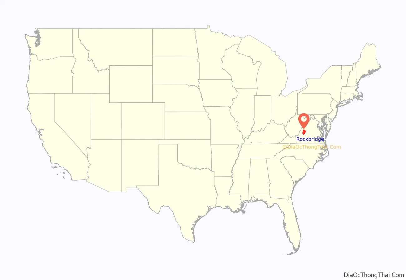
Rockbridge County location map. Where is Rockbridge County?
History
Rockbridge County was established in October 1777, from parts of now neighboring Augusta and Botetourt counties, and the first county elections were held in May 1778. Rockbridge County was named for Natural Bridge, a notable landmark in the southern portion of the county. Rockbridge County was formed during an act of assembly intended to reduce the amount of travel to the nearest courthouse, and to ensure trials were held fairly, and among friends rather than strangers. The first court session in Rockbridge County was held at the home of Samuel Wallace on April 7, 1778. Slaves were far fewer in Rockbridge County than in many parts of Virginia, and, thus, the anti-slavery movement was stronger in Rockbridge than in other Virginia areas. For instance, several faculty members at Washington College (now Washington and Lee University) vigorously opposed slavery. However, many of the wealthiest residents of Rockbridge County owned slaves and passed down those slaves to their widows and children.
Cyrus McCormick invented the reaper near Steele’s Tavern at the northern end of the county.
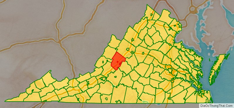
Rockbridge County Road Map
Geography
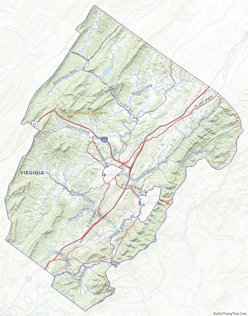
The hilly terrain of Rockbridge County was densely wooded in the eighteenth century. Its more level areas have now been cleared and turned to agriculture. The county is bordered by high ridges along its NW and SE borders, with the crests running NE-SW. The terrain’s highest point (4,072 feet/1,241 meters ASL) is Rocky Mountain on its SE border with Amherst County.
According to the US Census Bureau, the county has a total area of 601 square miles (1,560 km), of which 598 square miles (1,550 km) is land and 3.4 square miles (8.8 km) (0.6%) is water.
Adjacent counties
- Bath County – northwest
- Augusta County – northeast
- Nelson County – east
- Amherst County – southeast
- Bedford County – south
- Botetourt County – southwest
- Alleghany County – west
National protected areas
- Blue Ridge Parkway (part)
- George Washington National Forest (part)
- Jefferson National Forest (part)
- United States National Radio Quiet Zone (part)
Major highways
Rockbridge County Topographic Map
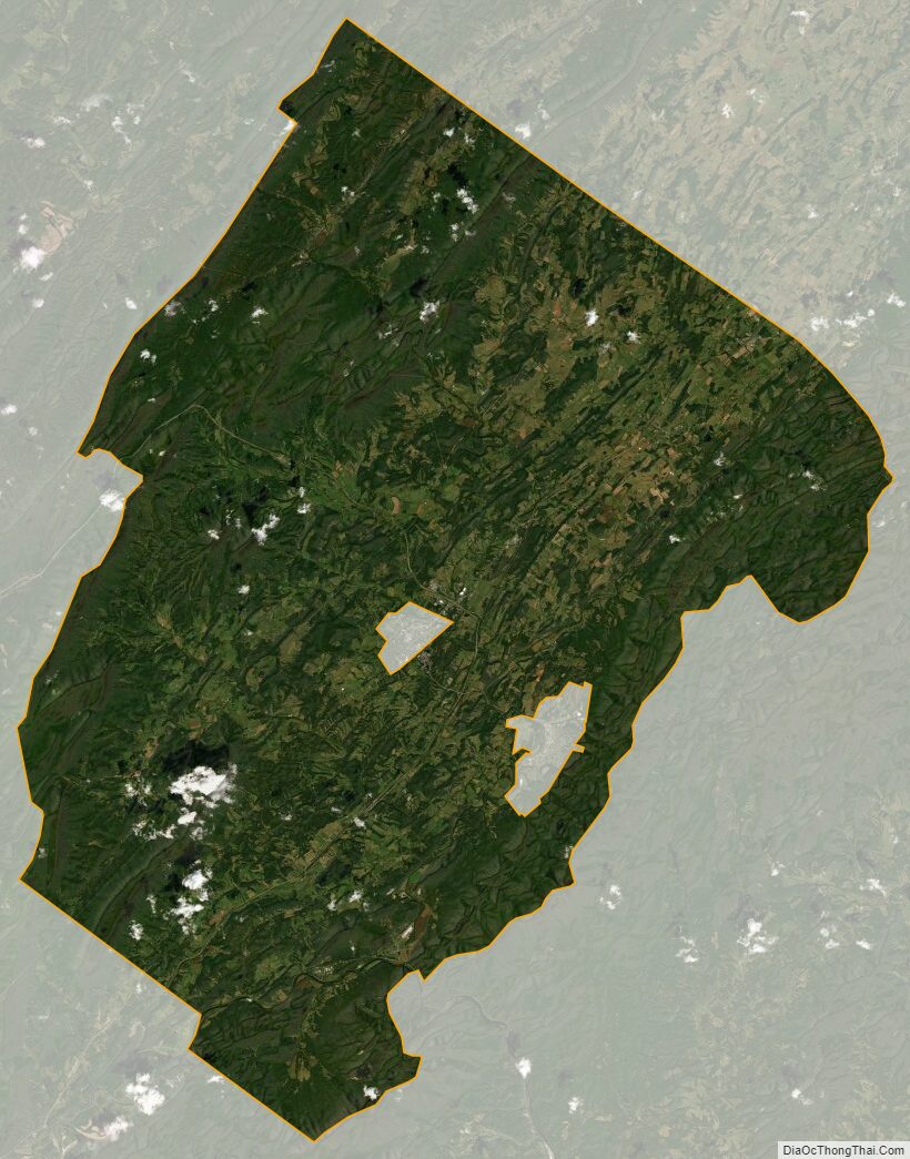
Rockbridge County Satellite Map
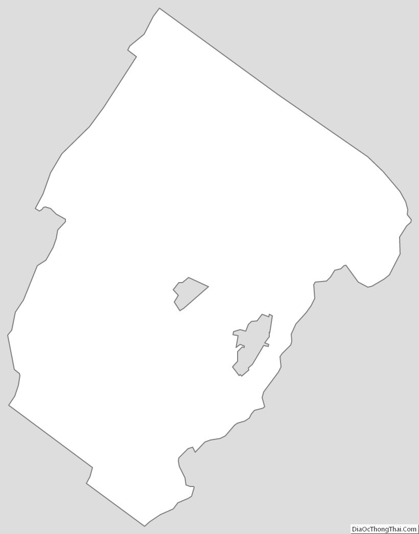
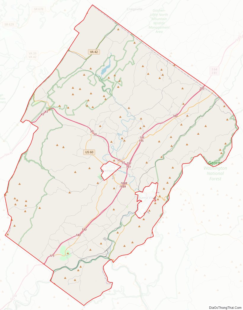
Rockbridge County Outline Map