Liberty County is a county located in the U.S. state of Montana. As of the 2020 census, the population was 1,959. Its county seat is Chester. The decision to separate the future Liberty County area from the previous Hill and Chouteau counties was carried in a 1919 vote; the organization was authorized to commence in the following February.
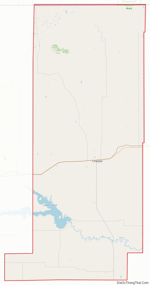
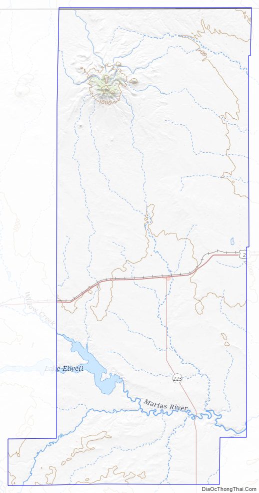
The southwestern corner of Liberty County holds Tiber Dam, a popular tourist and recreation area.
| Name: | Liberty County |
|---|---|
| FIPS code: | 30-051 |
| State: | Montana |
| Founded: | February 11, 1920 |
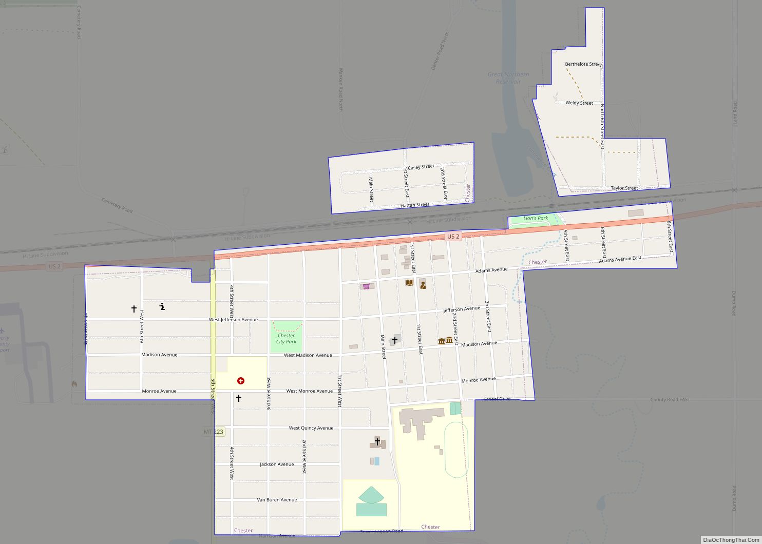
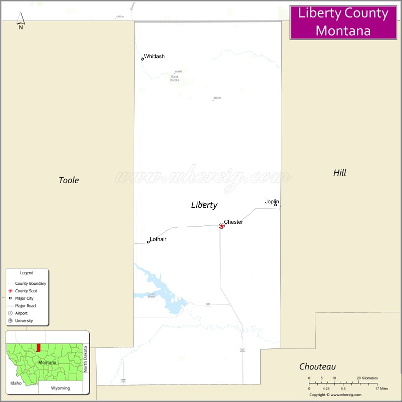
| Seat: | Chester |
| Largest town: | Chester |
| Total Area: | 1,447 sq mi (3,750 km²) |
| Land Area: | 1,430 sq mi (3,700 km²) |
| Total Population: | 1,959 |
| Population Density: | 1.4/sq mi (0.52/km²) |
| Time zone: | UTC−7 (Mountain) |
| Summer Time Zone (DST): | UTC−6 (MDT) |
| Website: | www.co.liberty.mt.us |
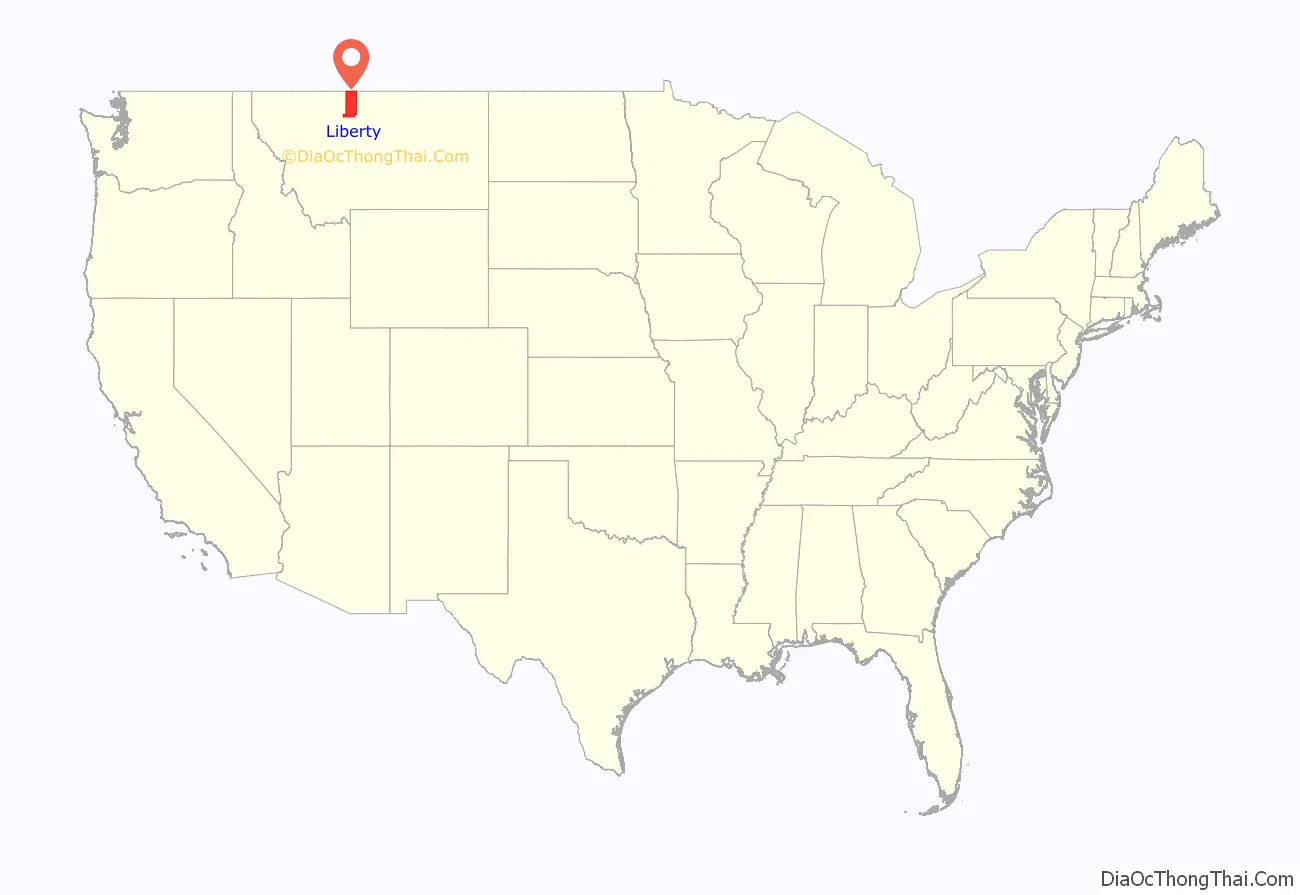
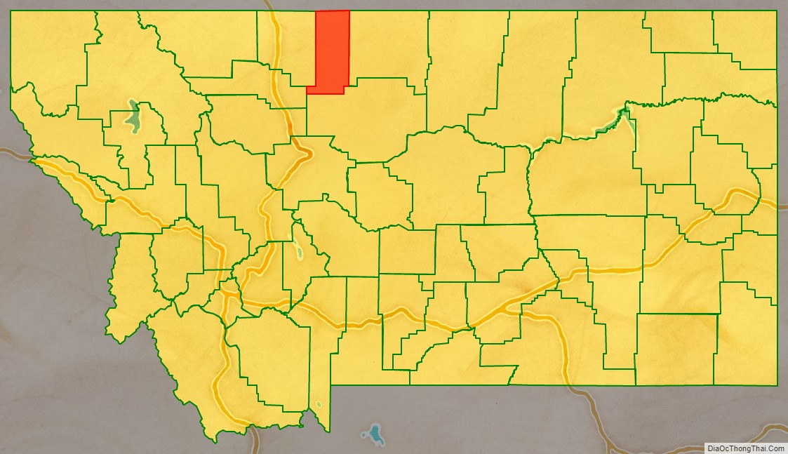
Liberty County location map. Where is Liberty County?
Liberty County Road Map
Geography
Liberty County is on the state’s north line, so that it shares the US border with Canada. It abuts the Canadian province of Alberta. According to the United States Census Bureau, the county has a total area of 1,447 square miles (3,750 km), of which 1,430 square miles (3,700 km) is land and 17 square miles (44 km) (1.2%) is water.
Adjacent counties
- Toole County – west
- Pondera County – southwest
- Chouteau County – south
- Hill County – east
- County of Forty Mile No. 8, Alberta – north
Liberty County Topographic Map
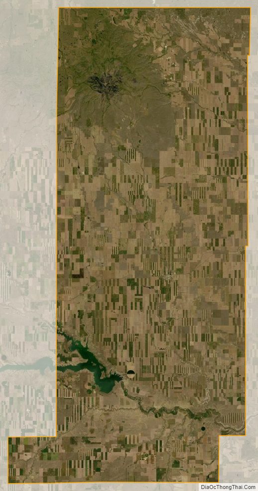
Liberty County Satellite Map
Liberty County Outline Map