Lincoln County is a county located in the U.S. state of Wisconsin. As of the 2020 census, the population was 28,415. Its county seat is Merrill. The county was created in 1875 and named after President Abraham Lincoln.
Lincoln County comprises the Merrill, WI Micropolitan Statistical Area, which is also included in the Wausau–Stevens Point–Wisconsin Rapids, WI Combined Statistical Area.
| Name: | Lincoln County |
|---|---|
| FIPS code: | 55-069 |
| State: | Wisconsin |
| Founded: | 1875 |
| Named for: | Abraham Lincoln |
| Seat: | Merrill |
| Largest city: | Merrill |
| Total Area: | 907 sq mi (2,350 km²) |
| Land Area: | 879 sq mi (2,280 km²) |
| Total Population: | 28,415 |
| Population Density: | 32.3/sq mi (12.5/km²) |
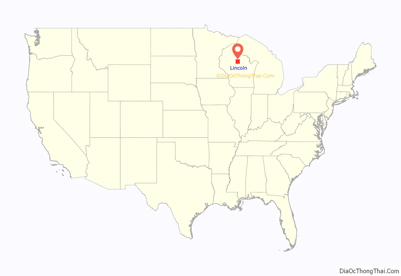
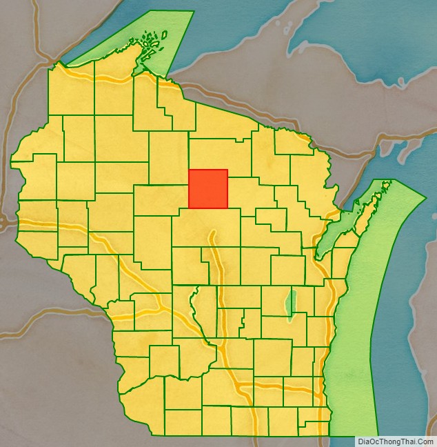
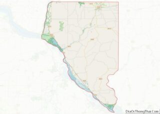
Lincoln County location map. Where is Lincoln County?
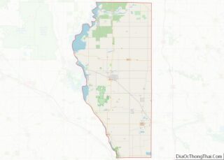
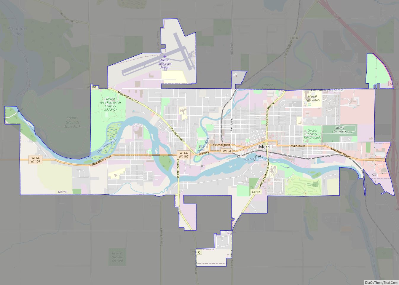
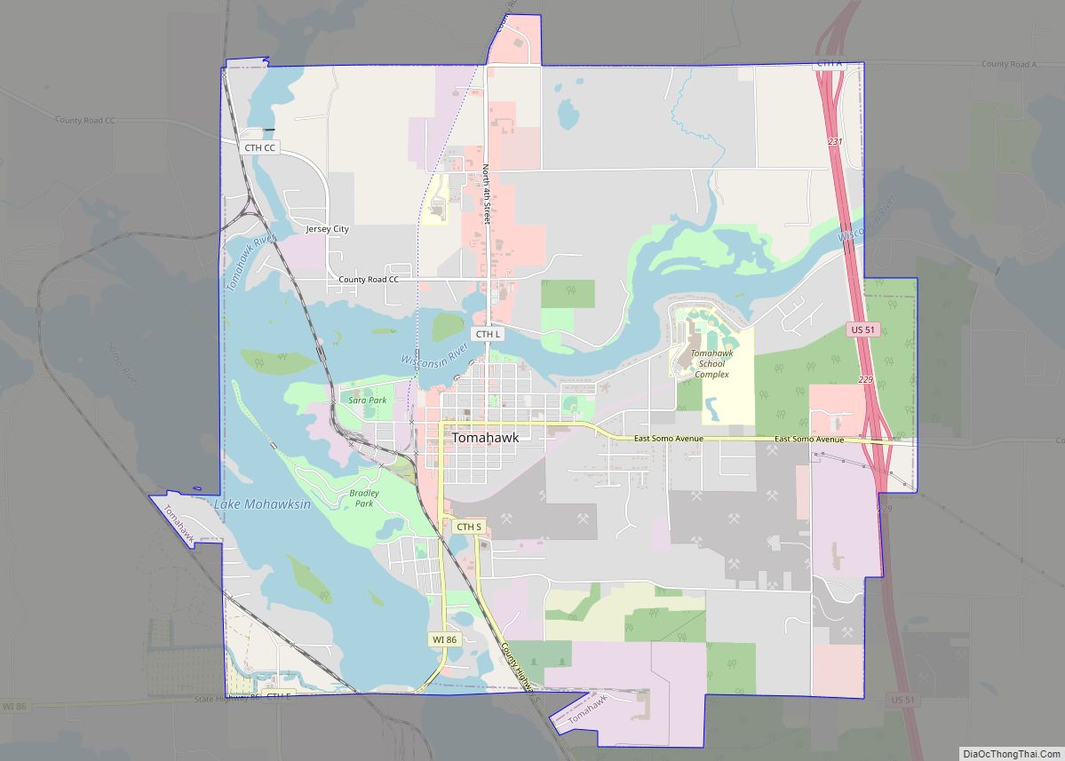
Lincoln County Road Map
Geography
According to the U.S. Census Bureau, the county has a total area of 907 square miles (2,350 km), of which 879 square miles (2,280 km) is land and 28 square miles (73 km) (3.1%) is water.
Adjacent counties
- Oneida County – north
- Langlade County – east
- Marathon County – south
- Taylor County – west
- Price County – northwest
Major highways
- U.S. Highway 8
- U.S. Highway 51
- Highway 17 (Wisconsin)
- Highway 64 (Wisconsin)
- Highway 86 (Wisconsin)
- Highway 107 (Wisconsin)
Railroads
- Tomahawk Railway
- Watco
Buses
- List of intercity bus stops in Wisconsin
Airports
- KRRL – Merrill Municipal Airport
- KTKV – Tomahawk Regional Airport
