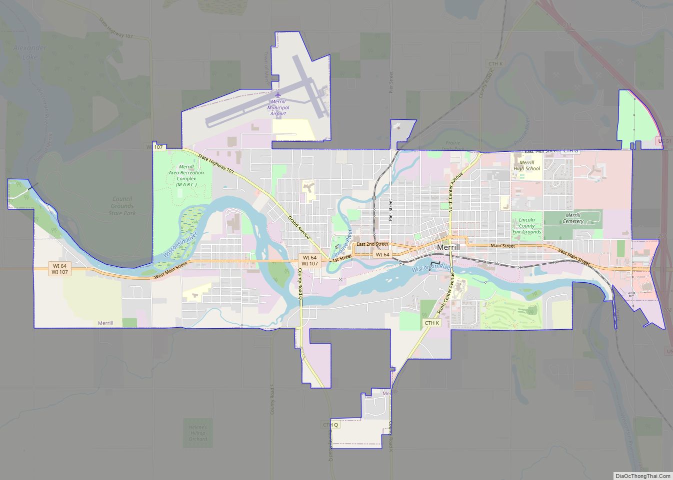
Merrill is a city in and the county seat of Lincoln County, Wisconsin, United States. It is located to the south of and adjacent to the Town of Merrill. The population was 9,347, according to the 2020 census. Merrill is part of the United States Census Bureau’s Merrill MSA, which includes all of Lincoln County. Together with the Wausau MSA, which includes all of Marathon County, it forms the Wausau-Merrill CSA.
| Name: | Merrill city |
|---|---|
| LSAD Code: | 25 |
| LSAD Description: | city (suffix) |
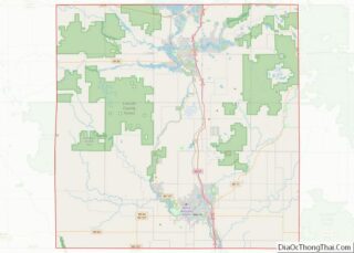
| State: | Wisconsin |
| County: | Lincoln County |
| Elevation: | 1,316 ft (401 m) |
| Total Area: | 8.08 sq mi (20.94 km²) |
| Land Area: | 7.50 sq mi (19.44 km²) |
| Water Area: | 0.58 sq mi (1.50 km²) 7.30% |
| Total Population: | 9,347 |
| Population Density: | 1,245.6/sq mi (480.9/km²) |
| ZIP code: | 54452 |
| Area code: | 715 & 534 |
| FIPS code: | 5551250 |
| Website: | www.ci.merrill.wi.us |
Online Interactive Map
Click on ![]() to view map in "full screen" mode.
to view map in "full screen" mode.
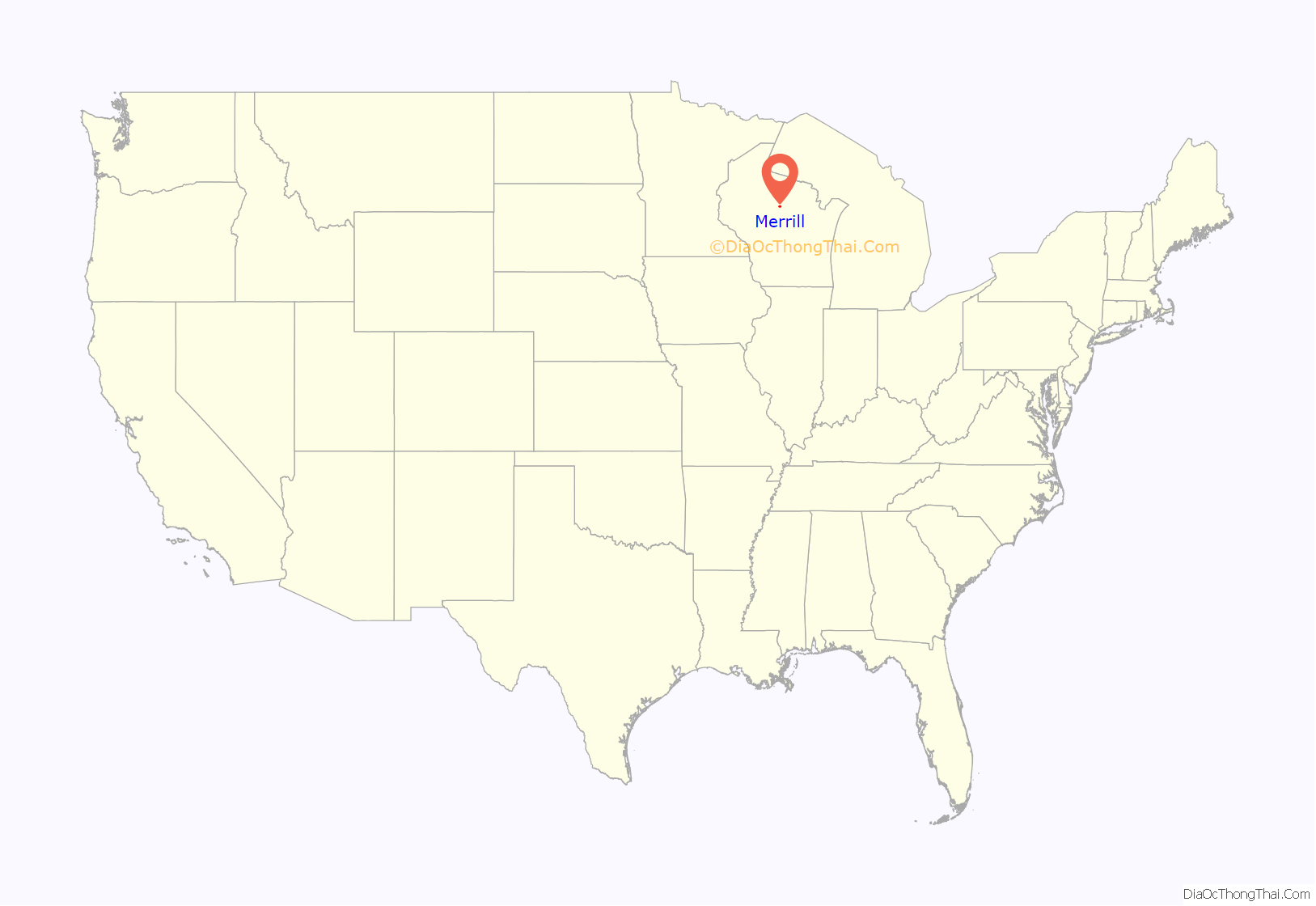
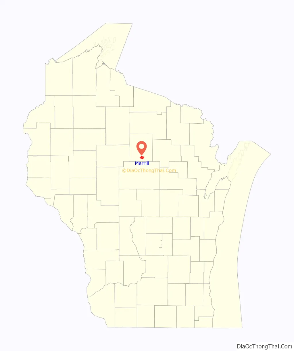
Merrill location map. Where is Merrill city?
History
Merrill was first inhabited by the Chippewa Native Americans. The first European settlement there was a logging town named Jenny Bull Falls. By 1843, a trading post was constructed near the town; John Faely was the first settler. Within four years a dam, started by Andrew Warren, was constructed over the Wisconsin River. Warren then established the first mill powered by the dam, and other saw mills in the area. In 1870, T. B. Scott succeeded Warren, and the mill soon became increasingly successful. In 1899 the mill burned down. During that time the name of the community was changed to Merrill, in honor of Sherburn S. Merrill (1818–1885), the general manager of the Chicago, Milwaukee, St. Paul, and Pacific Railroad.
In 1881, the Wisconsin Telephone Company began operation, with 20 phones in service. In 1883, the first City Council met and T. B. Scott was named the first mayor. By 1885, the population had risen to 7,000, approximately 3,000 less than Merrill’s population today. The railroad and passenger depot was a hub of social activity through the lumber industry’s boom years and after. It later became a community youth center, but has since been razed. By 1900, the timber industry was in decline and the community was compelled to diversify its economy.
In July 1912, the Wisconsin River and several of its tributaries flooded from Rothschild to Merrill, destroying several dams (active and abandoned), as well as causing hundreds of thousands of dollars in damage in Merrill.
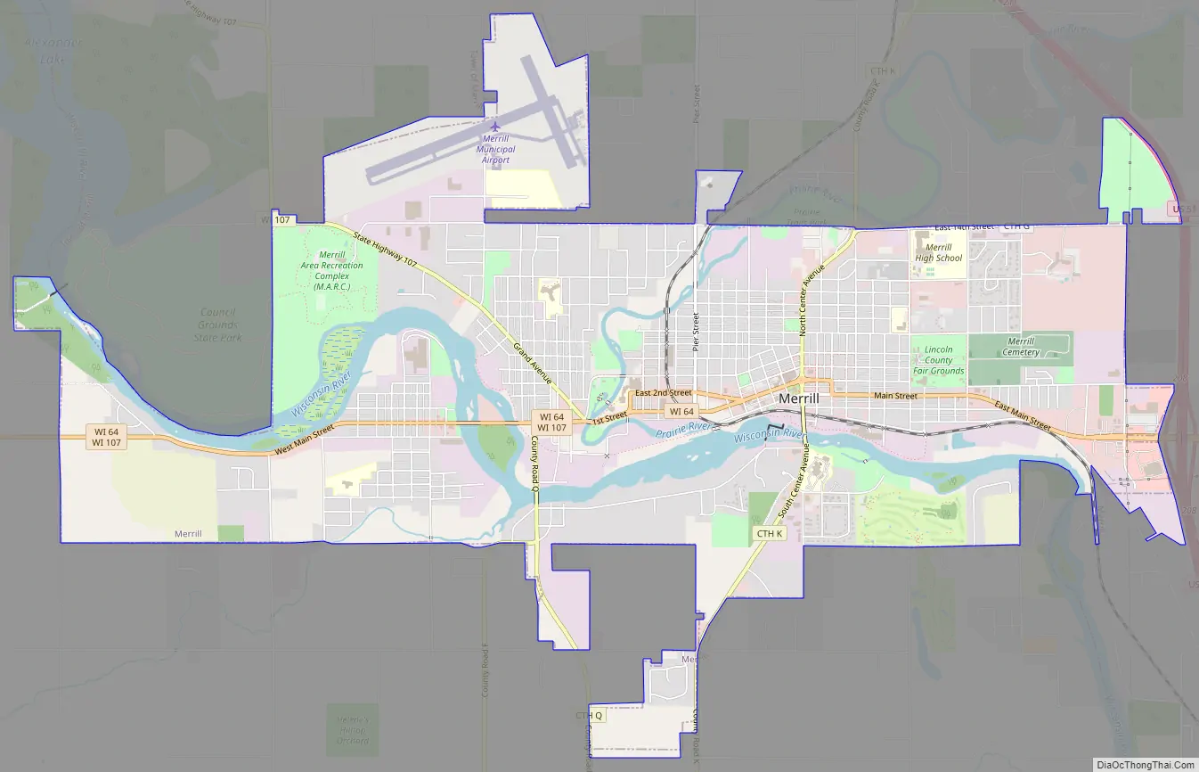
Merrill Road Map
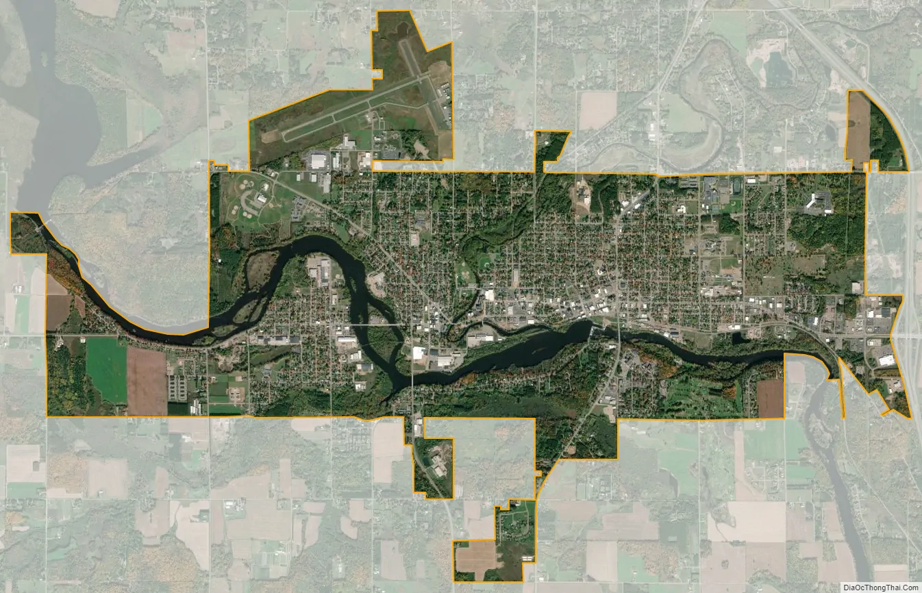
Merrill city Satellite Map
Geography
Merrill is located at 45°10′57″N 89°41′44″W / 45.18250°N 89.69556°W / 45.18250; -89.69556 (45.182569, -89.69559), along the Wisconsin River at its confluence with the Prairie River.
According to the United States Census Bureau, the city has a total area of 8.08 square miles (20.93 km), of which, 7.5 square miles (19.42 km) is land and 0.58 square miles (1.50 km) is water.
Merrill is located west of US Route 51 on State Highway 64 (Main Street).
Council Grounds State Park is due west of the city.
See also
Map of Wisconsin State and its subdivision:- Adams
- Ashland
- Barron
- Bayfield
- Brown
- Buffalo
- Burnett
- Calumet
- Chippewa
- Clark
- Columbia
- Crawford
- Dane
- Dodge
- Door
- Douglas
- Dunn
- Eau Claire
- Florence
- Fond du Lac
- Forest
- Grant
- Green
- Green Lake
- Iowa
- Iron
- Jackson
- Jefferson
- Juneau
- Kenosha
- Kewaunee
- La Crosse
- Lafayette
- Lake Michigan
- Lake Superior
- Langlade
- Lincoln
- Manitowoc
- Marathon
- Marinette
- Marquette
- Menominee
- Milwaukee
- Monroe
- Oconto
- Oneida
- Outagamie
- Ozaukee
- Pepin
- Pierce
- Polk
- Portage
- Price
- Racine
- Richland
- Rock
- Rusk
- Saint Croix
- Sauk
- Sawyer
- Shawano
- Sheboygan
- Taylor
- Trempealeau
- Vernon
- Vilas
- Walworth
- Washburn
- Washington
- Waukesha
- Waupaca
- Waushara
- Winnebago
- Wood
- Alabama
- Alaska
- Arizona
- Arkansas
- California
- Colorado
- Connecticut
- Delaware
- District of Columbia
- Florida
- Georgia
- Hawaii
- Idaho
- Illinois
- Indiana
- Iowa
- Kansas
- Kentucky
- Louisiana
- Maine
- Maryland
- Massachusetts
- Michigan
- Minnesota
- Mississippi
- Missouri
- Montana
- Nebraska
- Nevada
- New Hampshire
- New Jersey
- New Mexico
- New York
- North Carolina
- North Dakota
- Ohio
- Oklahoma
- Oregon
- Pennsylvania
- Rhode Island
- South Carolina
- South Dakota
- Tennessee
- Texas
- Utah
- Vermont
- Virginia
- Washington
- West Virginia
- Wisconsin
- Wyoming