Wausau (/ˈwɔːsɔː/ WAW-saw) is a city in and the county seat of Marathon County, Wisconsin, United States. The Wisconsin River divides the city into east and west. The city’s suburbs include Schofield, Weston, Mosinee, Maine, Rib Mountain, Kronenwetter, and Rothschild.
As of the 2020 census, Wausau had a population of 39,994. It is the core city of the Wausau Metropolitan Statistical Area (MSA), which includes all of Marathon County and had a population of 134,063 at the 2010 census.
| Name: | Wausau city |
|---|---|
| LSAD Code: | 25 |
| LSAD Description: | city (suffix) |
| State: | Wisconsin |
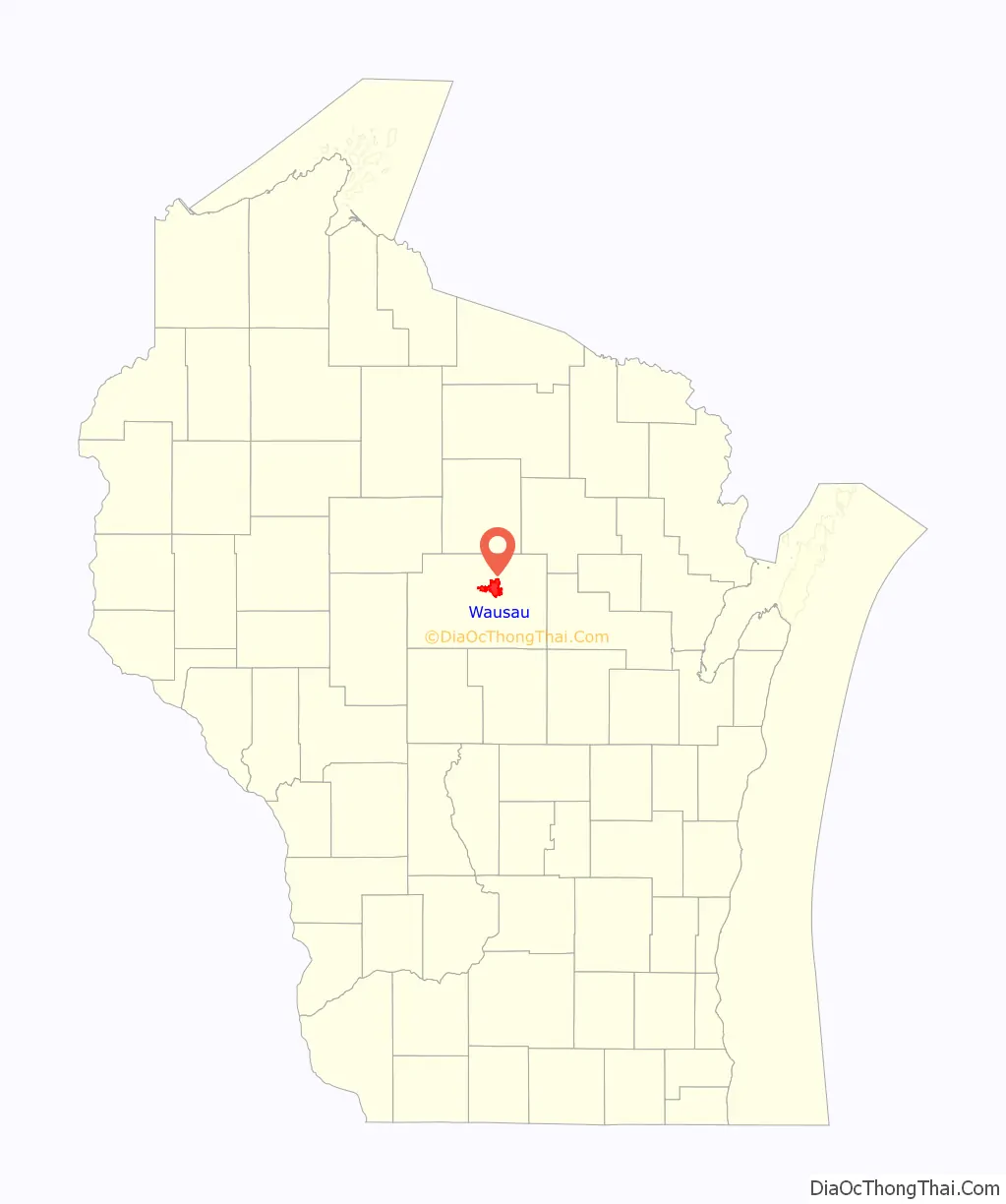
| County: | Marathon County |
| Elevation: | 1,207 ft (368 m) |
| Land Area: | 19.22 sq mi (49.77 km²) |
| Water Area: | 1.11 sq mi (2.88 km²) |
| Population Density: | 2,081.1/sq mi (803.5/km²) |
| ZIP code: | 54401 and 54403 |
| Area code: | 715 & 534 |
| FIPS code: | 5584475 |
| Website: | www.ci.wausau.wi.us |
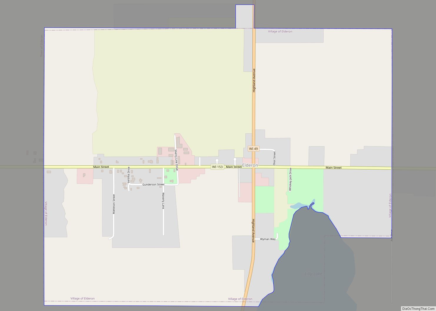
Online Interactive Map
Click on ![]() to view map in "full screen" mode.
to view map in "full screen" mode.
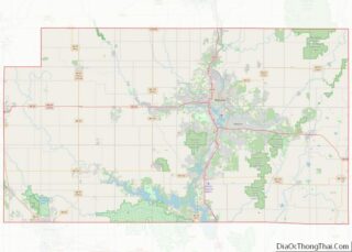
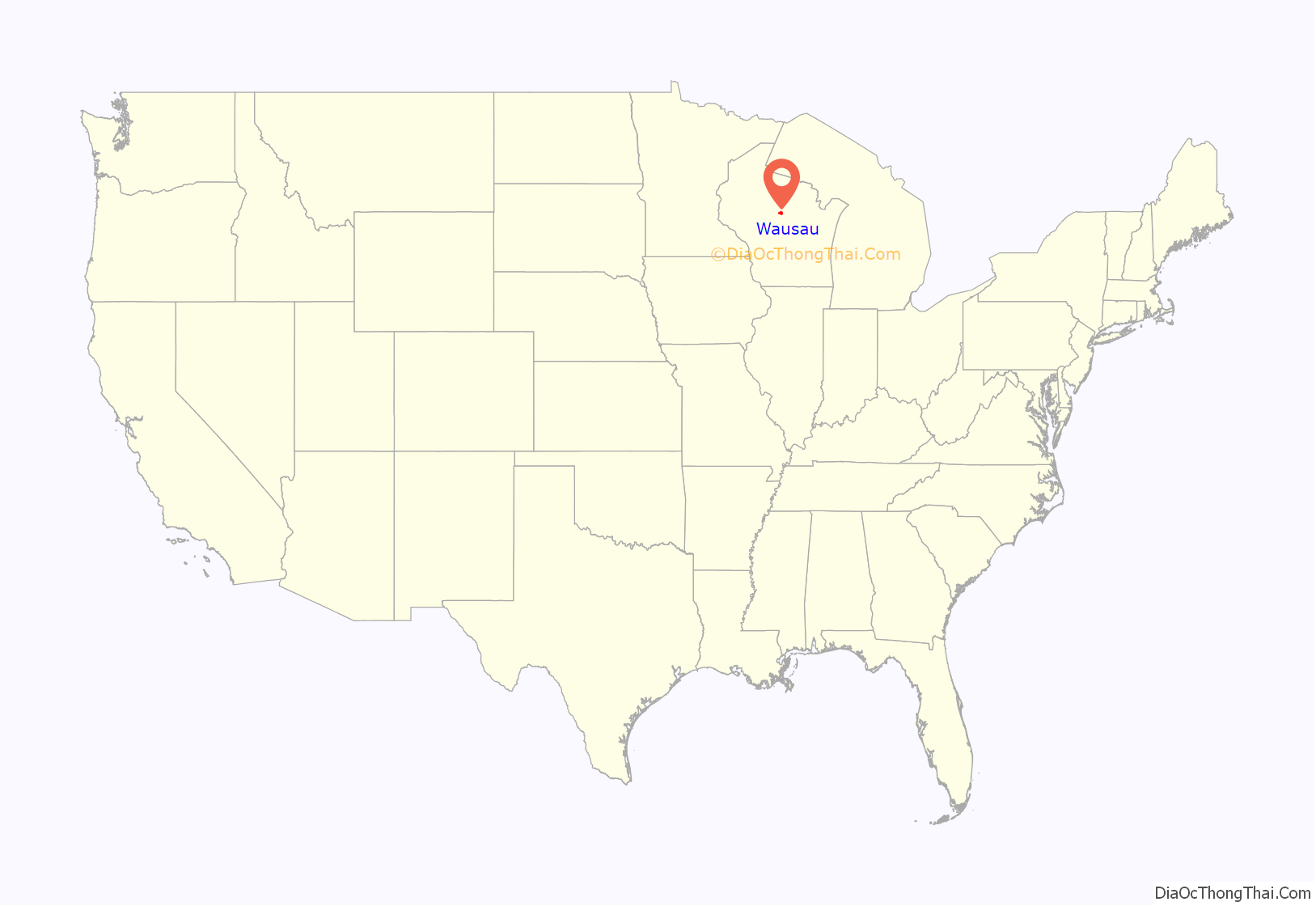
Wausau location map. Where is Wausau city?
History
Founding
This area has for millennia changed hands between various indigenous peoples. The historic Ojibwe (also known in the United States as the Chippewa) occupied it in the period of European encounter. They had a lucrative fur trade for decades with French colonists and French Canadians. After the French and Indian War this trade was dominated by British-American trappers from the eastern seaboard.
The Wisconsin River first drew European-American settlers to the area during the mid-19th century as they migrated west into the Great Lakes region following construction of the Erie Canal in New York State. This provided a route for products from the region to the large New York and other eastern markets. The area had been called “Big Bull Flats” or “Big Bull Falls” by French explorers, who were the first Europeans here. They named it for the long rapids in the river, which created many bubbles, called bulle in French. By an 1836 treaty with the United States, the Ojibwe ceded much of their lands in the area to federal ownership. It was sold to non-Native peoples. Wausau, from Ojibwe “waasa”, means “a faraway place”.
George Stevens, the namesake of the city of Stevens Point south of Wausau, began harvesting the pine forests for lumber in 1840 and built a saw mill. Lumbering was the first major industry in this area, and other sawmills along the Wisconsin River were quickly constructed by entrepreneurs. By 1846, Walter McIndoe arrived and took the lead in the local business and community. His efforts helped to establish Marathon County in 1850. Word of Stevens’s success in the region spread across the country throughout the logging industry. Loggers came from Cortland County, New York, Carroll County, New Hampshire, Orange County, Vermont and Down East Maine in what is now Washington County, Maine and Hancock County, Maine. These were “Yankee” migrants, descended from the English Puritans who settled New England during the 1600s.
Early settlers
By 1852, Wausau had been established as a town and continued to grow and mature. German immigration into the area following the Revolutions of 1848 in the German states brought more people, and by 1861, the settlement was incorporated as a village.
Churches, schools, industry and social organizations began to flourish. The state granted the city a charter in 1872, and elections are held the first Tuesday in April. The residents elected August Kickbusch as their first mayor in 1874. Five years earlier, Kickbusch had returned to his homeland of Germany and brought back with him 702 people, all of whom are believed to have settled in the Wausau area. Kickbusch founded the A. Kickbusch Wholesale Grocery Company, a family business carried on by his grandson, August Kickbusch II. In 1917, August Kickbusch II purchased a modest four-square-style house at 513 Grant Street. He undertook extensive additions, adding two sun rooms, arcaded windows, a tiled porch in the Mediterranean style, a formal classical entrance, and ornate custom-designed chimney crowns. The home is on the National Register of Historic Places as part of the Andrew Warren Historic District.
When the railroad arrived in 1874, Wausau became more accessible to settlers and industry. This enabled the city to develop alternatives to the lumber industry, which was in decline since the clear-cutting of many forests. By 1906 the lumber was gone, but the city continued to grow and flourish. Other villages and towns in the area declined because of over-harvesting of the forests and lumber mills closed down.
Twentieth century
Wausau’s favorable location on the Wisconsin River was partly responsible for its survival. The economy was diversified in the early 20th century, led by Employers Insurance of Wausau, now a part of Liberty Mutual. Its logo, first introduced in 1954, was the downtown Milwaukee Road railroad depot set against the backdrop of the community’s skyline.
The Wall Street Crash of 1929 had a major effect on the Wausau area. Many industries were forced to cut back by laying off and dismissing workers or by closing altogether. After decades of growth, the city virtually ground to a halt. But after World War II—Wausau was significantly modernized—and it continued to grow in industry, education, recreation, and retail, more than in population.
After the fall of Saigon, Hmong refugees from Southeast Asia who fought alongside the CIA immigrated to Wausau at the end of the 1970s. Wausau church organizations (Catholic and Lutheran) helped Hmong refugees adapt to American life.
In 1983, the Wausau Center shopping mall opened. By the mid- to late-1990s, the Wausau began to purchase and develop parts of West Industrial Park to meet the needs of the expanding economy and companies. In the late 1990s, the city demolished a number of aging buildings on a square in the center of downtown, creating what is known locally as the 400 Block, an open, grassy block with paved sidewalks crossing it. The square is a focal point for summer festivals. In recent years Wausau has redone the 400 Block, adding a permanent stage and other renovations that cost $2 million.
The new millennium
By the end of the 20th century, Wausau began to implement the Wausau Central Business District Master Plan, which included redevelopment and economic restructuring of downtown Wausau. The tallest commercial building in Wisconsin outside of Milwaukee is in Wausau: the 241-foot Dudley tower.
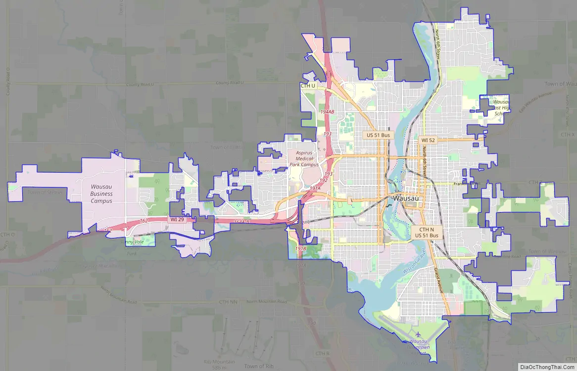
Wausau Road Map
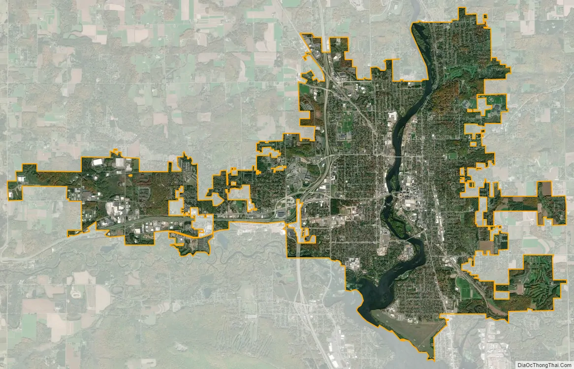
Wausau city Satellite Map
Geography
Geography
Wausau is located at 44°57′N 89°38′W / 44.950°N 89.633°W / 44.950; -89.633.
According to the United States Census Bureau, the city has a total area of 20.33 square miles (52.7 km), of which 19.22 square miles (49.8 km) is land and 1.11 square miles (2.9 km) is water. The city is located at an altitude of 1,195 feet (364 m). Wausau is close to the center of the northern half of the Western Hemisphere. Just west of Wausau, 45°N meets 90°W (45°N 90°W / 45°N 90°W / 45; -90), which is exactly halfway between the equator and the north pole and a quarter of the way around the world from the prime meridian.
Climate
Wausau’s climate is classified as humid continental (Dfb). It is built on or around a hemiboreal forest, which has some of the characteristics of a boreal forest and shares some of the features of the temperate zone forests to the south. Coniferous trees predominate in the hemiboreal zone, but a significant number of deciduous species are found there, as well.
- ^ Mean monthly maxima and minima (i.e. the expected highest and lowest temperature readings at any point during the year or given month) calculated based on data at said location from 1991 to 2020.
See also
Map of Wisconsin State and its subdivision:- Adams
- Ashland
- Barron
- Bayfield
- Brown
- Buffalo
- Burnett
- Calumet
- Chippewa
- Clark
- Columbia
- Crawford
- Dane
- Dodge
- Door
- Douglas
- Dunn
- Eau Claire
- Florence
- Fond du Lac
- Forest
- Grant
- Green
- Green Lake
- Iowa
- Iron
- Jackson
- Jefferson
- Juneau
- Kenosha
- Kewaunee
- La Crosse
- Lafayette
- Lake Michigan
- Lake Superior
- Langlade
- Lincoln
- Manitowoc
- Marathon
- Marinette
- Marquette
- Menominee
- Milwaukee
- Monroe
- Oconto
- Oneida
- Outagamie
- Ozaukee
- Pepin
- Pierce
- Polk
- Portage
- Price
- Racine
- Richland
- Rock
- Rusk
- Saint Croix
- Sauk
- Sawyer
- Shawano
- Sheboygan
- Taylor
- Trempealeau
- Vernon
- Vilas
- Walworth
- Washburn
- Washington
- Waukesha
- Waupaca
- Waushara
- Winnebago
- Wood
- Alabama
- Alaska
- Arizona
- Arkansas
- California
- Colorado
- Connecticut
- Delaware
- District of Columbia
- Florida
- Georgia
- Hawaii
- Idaho
- Illinois
- Indiana
- Iowa
- Kansas
- Kentucky
- Louisiana
- Maine
- Maryland
- Massachusetts
- Michigan
- Minnesota
- Mississippi
- Missouri
- Montana
- Nebraska
- Nevada
- New Hampshire
- New Jersey
- New Mexico
- New York
- North Carolina
- North Dakota
- Ohio
- Oklahoma
- Oregon
- Pennsylvania
- Rhode Island
- South Carolina
- South Dakota
- Tennessee
- Texas
- Utah
- Vermont
- Virginia
- Washington
- West Virginia
- Wisconsin
- Wyoming